
Dirt Bike Trails
Near Santa Clara, Utah
Explore All Dirt Bike Trails Near Santa Clara, Utah
Dirt Bike Trails Near Santa Clara, Utah
Discover the best dirt bike trails near you. Browse trail maps, check difficulty ratings, and find your next adventure — whether you're looking for a quick ride or an all-day expedition.
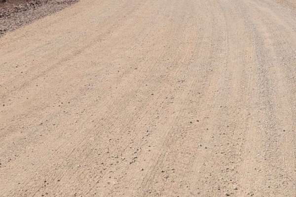
Gates Lane
Just Southwest of Santa Clara is a wide-open BLM playground for off-roading, mountain biking, shooting, hiking, and more. There is an endless spiderweb of trails and paths to take. At the end of this route is Cove Wash trailhead - great for mountain biking. Beautiful views overlooking Santa Clara an...
Learn more about Gates Lane
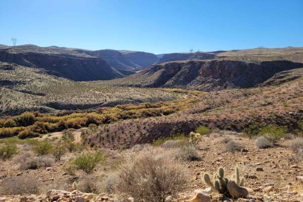
Virgin River Gorge Overlook 1
This beautiful, easy, out-and-back trail weaves its way through the Red Cliffs desert reserve. Scattered primitive camping and shooting areas at the beginning of the trail. Once you begin reaching the end (overlook), the trail will make its way down the hill towards the river bottom. Option to turn ...
Learn more about Virgin River Gorge Overlook 1
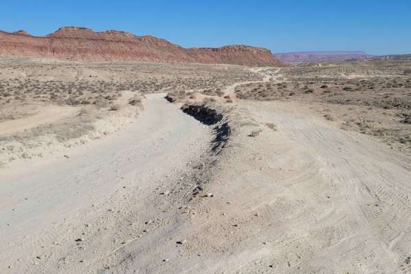
Navajo Drive
This route starts as pavement but quickly turns to a dirt road. There is a staging area/parking lot at the beginning. On the Northside is a popular biking trail. Surrounding this road is an endless spiderweb of routes and trails. It's an endless biking and OHV playground, but please be sure to stay ...
Learn more about Navajo Drive
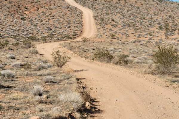
Val Wash
This small offshoot trail leads to some really great views overlooking the Virgin River and the surrounding desert landscape. You will encounter a couple of very short steep hills. There is a turnaround spot where this particular track ends, but the trail does continue down the hill and towards the ...
Learn more about Val Wash
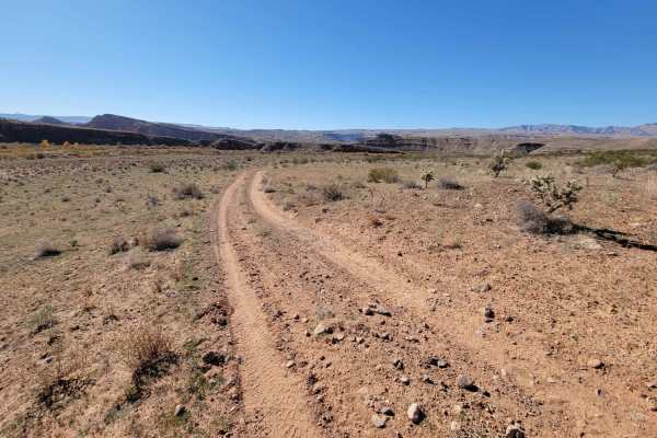
Curly Hollow Wash
This narrow trail makes its way along the ridgeline and follows alongside the Virgin River. Predominantly easy dirt trail with a few loose rocky sections to navigate. The Eastside of this trail begins at a gate, and there's an immediate short steep hill. Reminder to please keep the gate closed and "...
Learn more about Curly Hollow Wash
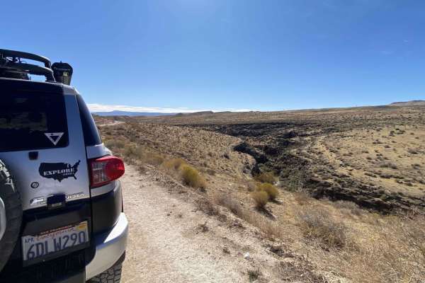
Gorge-ous
Start: 37.08802, -113.76598, on Bulldog Pass/Apex Rd., Mojave Desert Joshua Tree Rd. Etc etc. sheesh! But the drive is quite relaxing and scenic. This is a fun little trail that runs along a small gorge located in the Paiute Reservation. The Mojave Desert Joshua Tree Road Scenic Backway received off...
Learn more about Gorge-ous
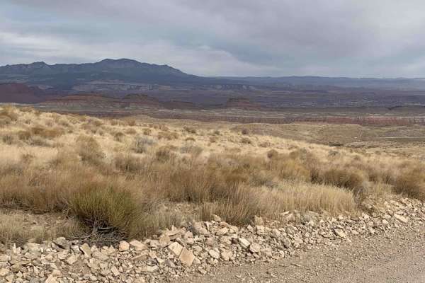
Bear Claw Poppy to Santa Clara Loop
This loop will take you out of a suburb of St. George named Bloomington. The trail head for BearClaw Poppy is a popular bike and hiking trail. These roads will take you along the North side of the Virgin River. The trail will take you down one of the edges of the gorge where there is a Utah DWR fish...
Learn more about Bear Claw Poppy to Santa Clara Loop
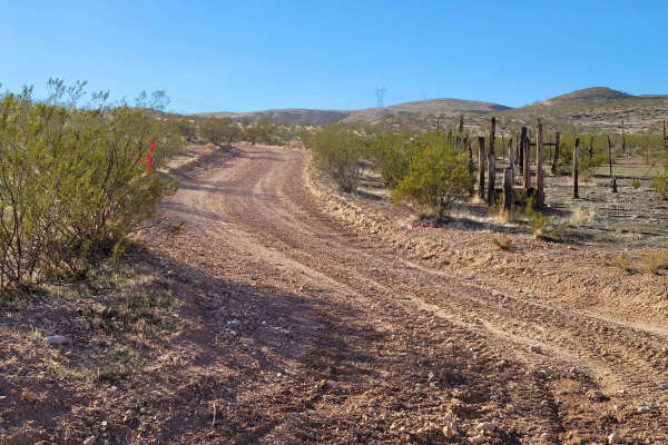
Bear Claw to Overlook
This short trail connects the Virgin River Gorge Overlook trails to the Bearclaw Claw Poppy trail. This is an easy trail - nothing of difficulty to note. You will come to a gate that should otherwise be opened, but it could be closed as well. There is beautiful desert scenery in every direction. The...
Learn more about Bear Claw to Overlook
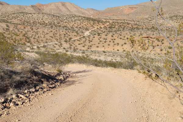
Virgin River Gorge Overlook 2
This short, out-and-back trail takes you to a second Virgin River Gorge overlook. This trail is not quite as easy as the Virgin River Gorge Overlook 1 trail. This one is a little less defined and has loose rocky patches towards the end. The trail appeared to continue down the hill towards the river,...
Learn more about Virgin River Gorge Overlook 2
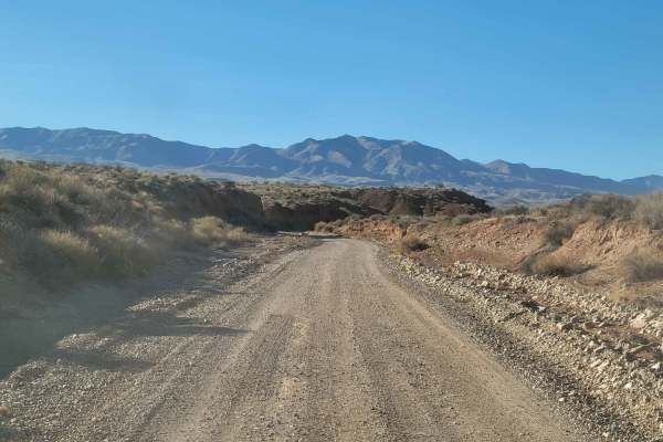
Hollow Washington Road
This is an easy dirt trail that takes you past Bloomington Caves (permit required) and ends up at Joshua Tree Road. Nothing challenging about this route. You will cross a wash or two and over several rocky patches. A couple of times, the trail weaves through a small ravine/dirt canyon. There are sev...
Learn more about Hollow Washington Road
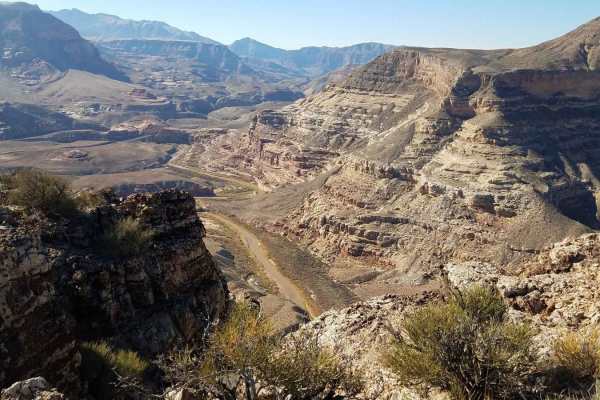
West Valley Mountain Wash
Twister Wash is a 2.1-mile trail that connects the Starvation Point and Twister Wash trails. This trail is rated 3 of 10 and is comprised mostly of dirt and sand wash tracks. West Mountain Valley Wash trail is one of four connecting trails that creates a loop known locally as Elephants, Virgins, an...
Learn more about West Valley Mountain Wash
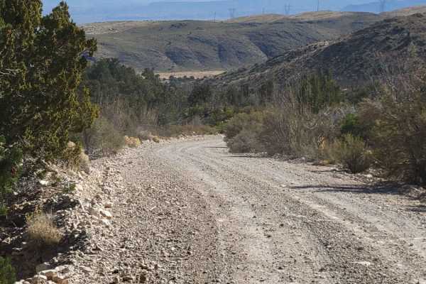
Apex Mine Road
This short, easy dirt road weaves its way up into a small pocket of the Beaver Dam Mountains. The trail ultimately dead-ends at a turnaround spot. Mine tailings can be spotted up on the nearby mountainsides, although they are on private property. The trail is unmaintained in wet or winter conditions...
Learn more about Apex Mine Road
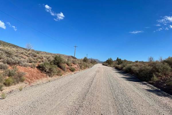
Motoqua - DI Ranch
This is a wide, maintained two-lane road for much of the route. It provides access to other adventures that are posted here on OnX. This portion of the adventure adds the infamous DI Ranch which was purchased when the mob reputedly ran many of the casinos in Las Vegas. The ranch was purchased about ...
Learn more about Motoqua - DI Ranch
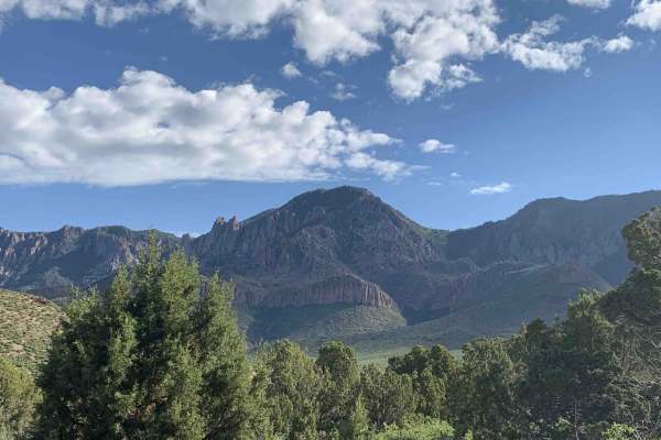
Turkey Road to Lone Pine
When in St. George Utah this is a nice scenic loop that completes the Diamond Valley, Lone Pine-Cottonwood Loop train marked on the map. This ride is on maintained County, BLM and ranch dirt roads. You will need to take oiled roads to get to the starting points of this loop, the loop does travel t...
Learn more about Turkey Road to Lone Pine
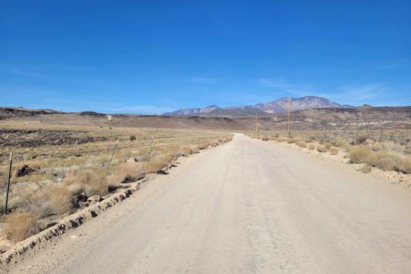
Cottonwood Road
What begins as a paved road soon turns into an easy, maintained dirt road, wide enough for vehicles to pass. There are several (hike, bike, horse) trailheads along this route. Beautiful desert scenery in every direction. Even though it's on BLM land, it's also the Red Cliffs National Conservation Ar...
Learn more about Cottonwood Road
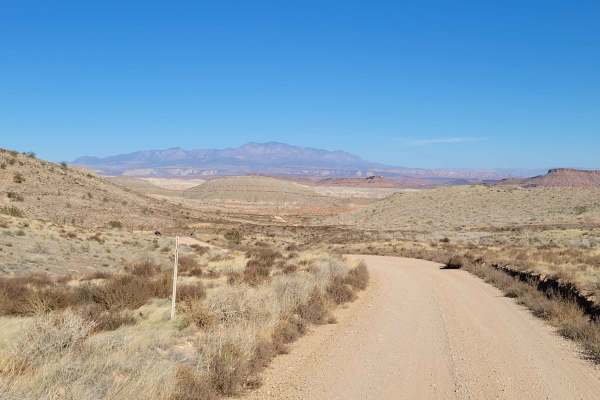
Bear Claw Poppy Trail
This is predominantly a very easy dirt trail as it winds its way through the desert wilderness. The short switchback section about a mile from the Eastern end has some steep grades, brief rocky patch towards the top, and hill drop-offs to one side. It's not challenging by any means, just slow down a...
Learn more about Bear Claw Poppy Trail
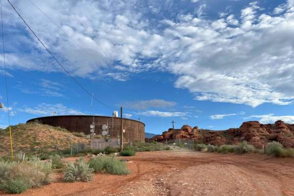
Water Tower Overlook
This is an easy trail right out of the city. 4WD is not required, but it may be useful to climb some sand hills. This trail leads to mountain biking and hiking areas in the Turtle Reserve.
Learn more about Water Tower Overlook
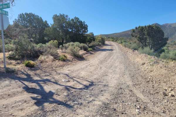
Utah Hill Road
This short, 4-mile, out-and-back trail takes you up into the mountains and fairly close to Tahoari Peak. It starts off easy but quickly turns fairly rocky. The further up you go, the more advanced the trail becomes, with a couple of off-camber and large rock sections where higher clearance is requir...
Learn more about Utah Hill Road
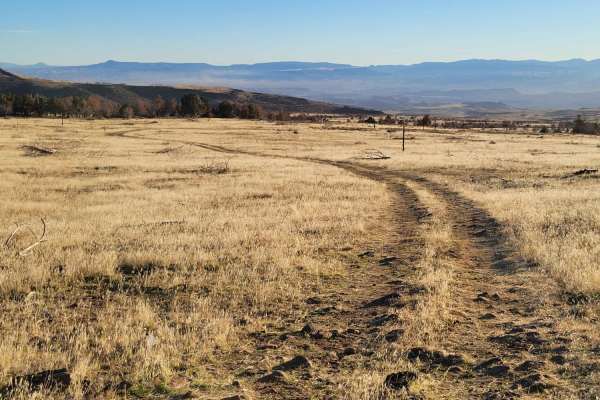
Cedar Bench Trail
This dirt trail starts off as a well-defined route but slowly turns into a meager two-track that ultimately fades away at a dead-end. Water erosion has rutted some spots. There are several sections with large, loose rocks to navigate. Scattered primitive camp spots were noted in the area. Please be ...
Learn more about Cedar Bench Trail
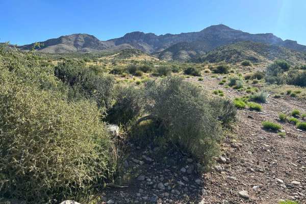
Hells Hole Pass Road
Hell Hole Pass Road is accessed along Highway 91. The road is well-maintained on the South side of the Beaver Dam Mountains. After crossing over the top and starting to descend on the North Side. The road is not maintained as well. In the early Spring, there are several locations where water runs do...
Learn more about Hells Hole Pass Road
ATV trails near Santa Clara, Utah
Explore ATV-friendly trails near you. These trails are accessible for vehicles up to 50 inches wide, perfect for ATVs and smaller off-road machines.
Gates Lane
Just Southwest of Santa Clara is a wide-open BLM playground for off-roading, mountain biking, shooting, hiking, and more. There is an endless spiderweb of trails and paths to take. At the end of this route is Cove Wash trailhead - great for mountain biking. Beautiful views overlooking Santa Clara an...
Learn more about Gates Lane
Virgin River Gorge Overlook 1
This beautiful, easy, out-and-back trail weaves its way through the Red Cliffs desert reserve. Scattered primitive camping and shooting areas at the beginning of the trail. Once you begin reaching the end (overlook), the trail will make its way down the hill towards the river bottom. Option to turn ...
Learn more about Virgin River Gorge Overlook 1
Navajo Drive
This route starts as pavement but quickly turns to a dirt road. There is a staging area/parking lot at the beginning. On the Northside is a popular biking trail. Surrounding this road is an endless spiderweb of routes and trails. It's an endless biking and OHV playground, but please be sure to stay ...
Learn more about Navajo Drive
Val Wash
This small offshoot trail leads to some really great views overlooking the Virgin River and the surrounding desert landscape. You will encounter a couple of very short steep hills. There is a turnaround spot where this particular track ends, but the trail does continue down the hill and towards the ...
Learn more about Val Wash
UTV/side-by-side trails near Santa Clara, Utah
Find UTV and side-by-side trails near you. These trails accommodate vehicles up to 60 inches wide, ideal for UTVs, side-by-sides, and wider off-road rigs.
Gates Lane
Just Southwest of Santa Clara is a wide-open BLM playground for off-roading, mountain biking, shooting, hiking, and more. There is an endless spiderweb of trails and paths to take. At the end of this route is Cove Wash trailhead - great for mountain biking. Beautiful views overlooking Santa Clara an...
Learn more about Gates Lane
Virgin River Gorge Overlook 1
This beautiful, easy, out-and-back trail weaves its way through the Red Cliffs desert reserve. Scattered primitive camping and shooting areas at the beginning of the trail. Once you begin reaching the end (overlook), the trail will make its way down the hill towards the river bottom. Option to turn ...
Learn more about Virgin River Gorge Overlook 1
Navajo Drive
This route starts as pavement but quickly turns to a dirt road. There is a staging area/parking lot at the beginning. On the Northside is a popular biking trail. Surrounding this road is an endless spiderweb of routes and trails. It's an endless biking and OHV playground, but please be sure to stay ...
Learn more about Navajo Drive
Val Wash
This small offshoot trail leads to some really great views overlooking the Virgin River and the surrounding desert landscape. You will encounter a couple of very short steep hills. There is a turnaround spot where this particular track ends, but the trail does continue down the hill and towards the ...
Learn more about Val Wash
The onX Offroad Difference
onX Offroad combines trail photos, descriptions, difficulty ratings, width restrictions, seasonality, and more in a user-friendly interface. Available on all devices, with offline access and full compatibility with CarPlay and Android Auto. Discover what you're missing today!
Open Trail Map