Trail Overview
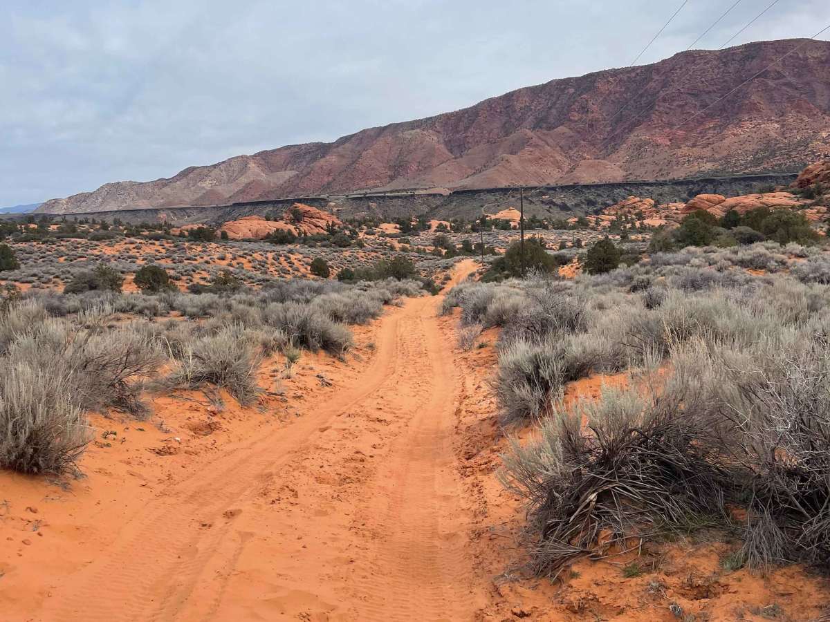
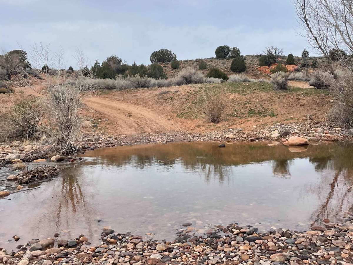
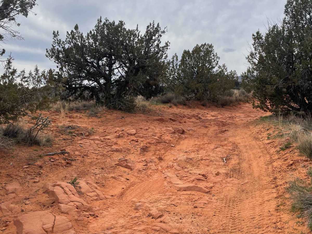
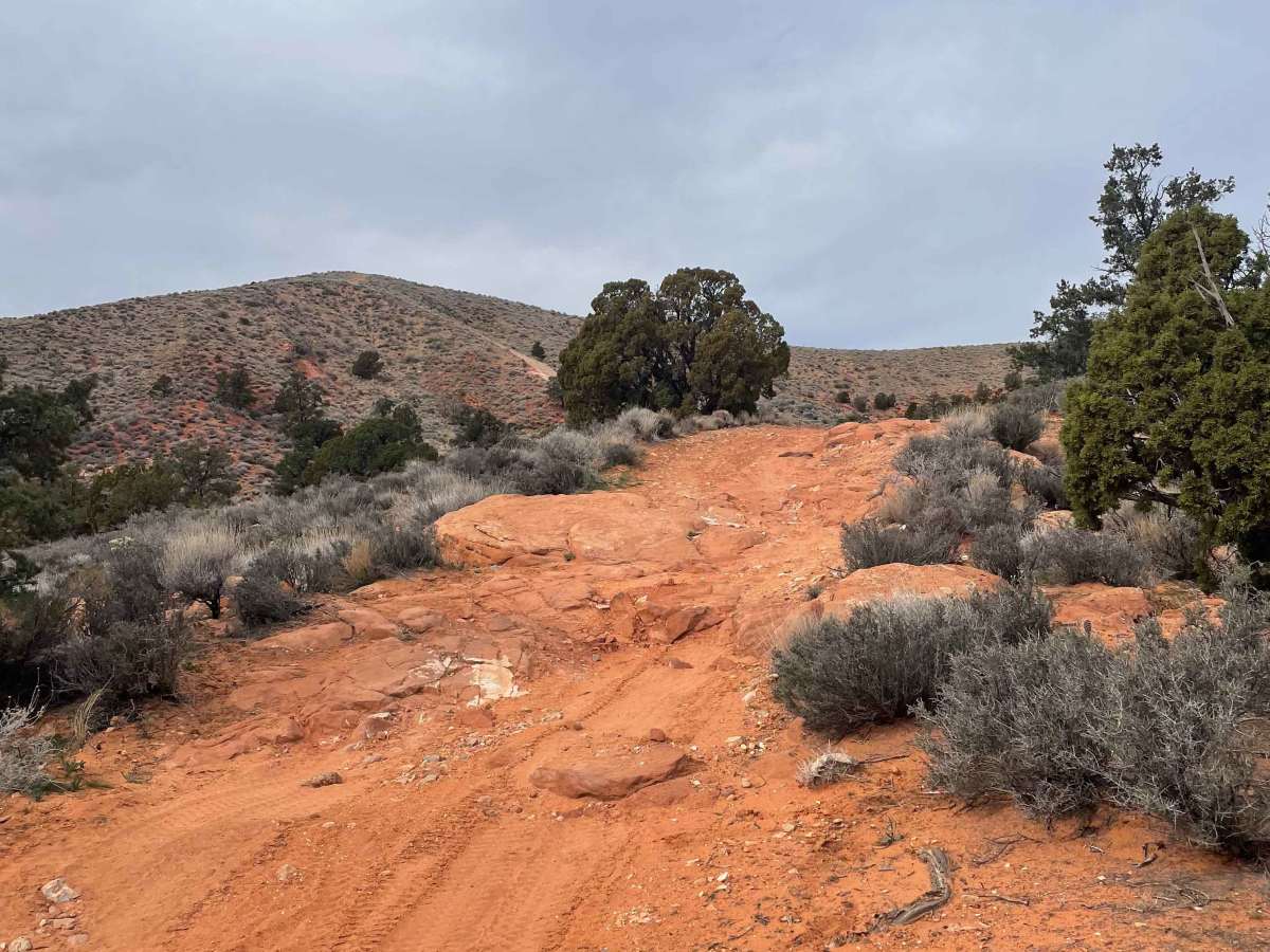
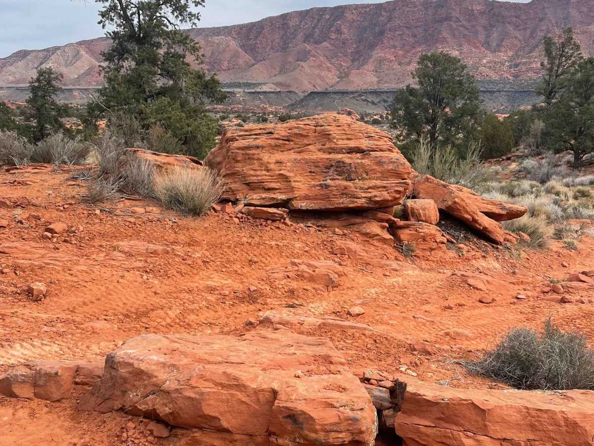
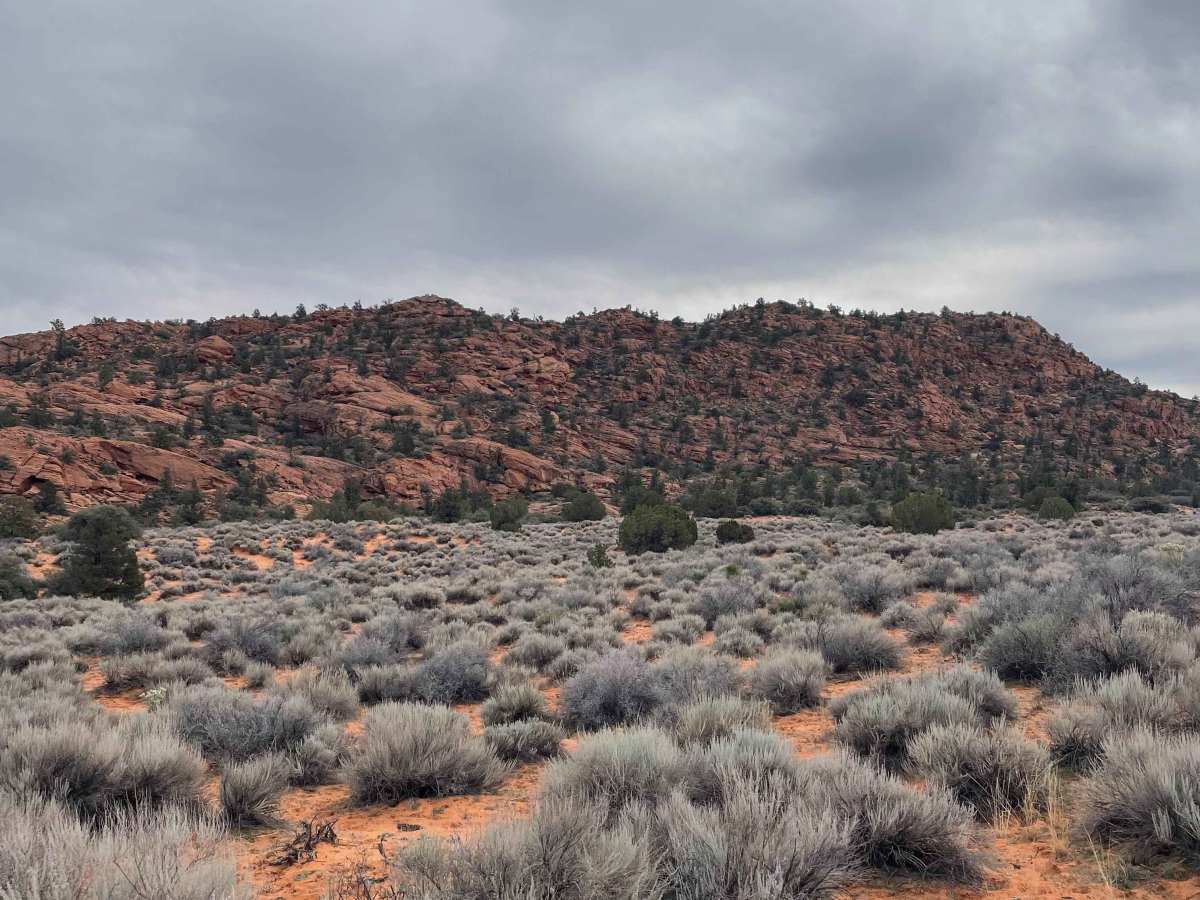
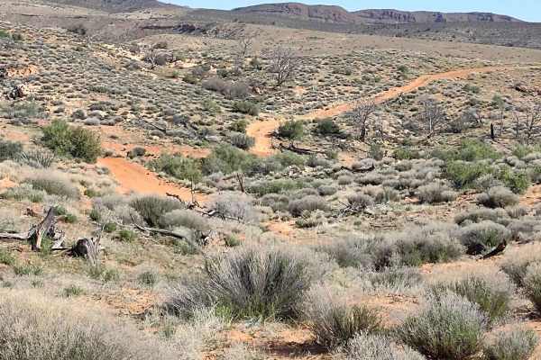
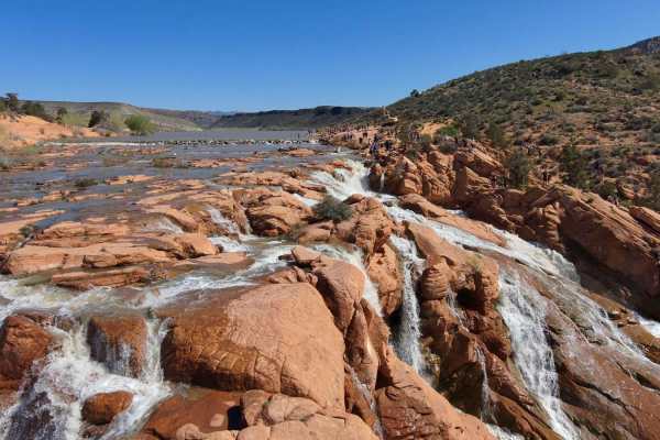
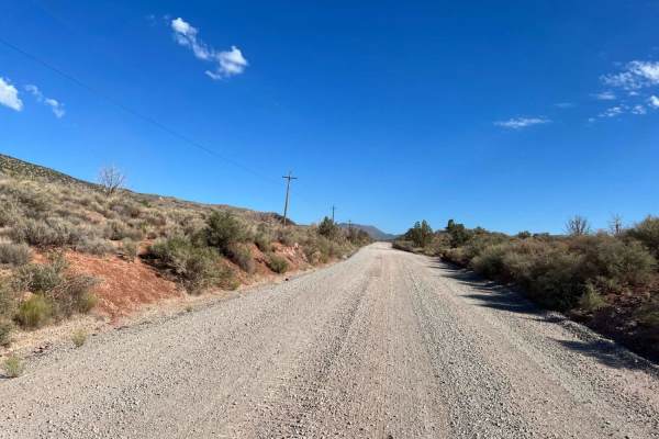
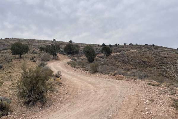
This is a moderately difficult trail that connects the main Gunlock road to the Motoqua road. Expect very sandy areas in some spots, as well as some technical rock obstacles and a very steep, loose rocky hill climb obstacle (the Gunlock Gauntlet). At the beginning of the trail, near Gunlock Road, you will have to cross the Santa Clara River, and it can be somewhat deep (1–2 feet) depending on the time of year (late winter and early spring). You will pass a few water pump houses along the way. About halfway through the trail is the sandy section of the road. Be sure to air down your tires or be in 4WD. There are a couple of boulder spots in the road after the sandy section. There is one tight corner turn between some big rocks and a tree that may be a challenging squeeze for bigger full-size rigs. The steep hill climb (Gunlock Gauntlet) can be difficult depending on the condition of the trail. It is a very steep climb with big, loose rocks that will make it hard to gain traction while climbing. On the descent side of the hill, there are a few boulder drops to maneuver over. Near the beginning, above the river, there is the Flat Rocks Heritage Site, which is easy to miss. It has many Native American petroglyphs pecked into the slick rock on the ground. Take the time to explore the site respectfully and read the signs in the area. There are some great views at the top of the steep hill of the surrounding red rock vistas. Decent cell service on the whole trail.
History
A rare petroglyph panel that depicts Spanish pack mules and horses, dating the panel to the early 19th century.