Trail Overview
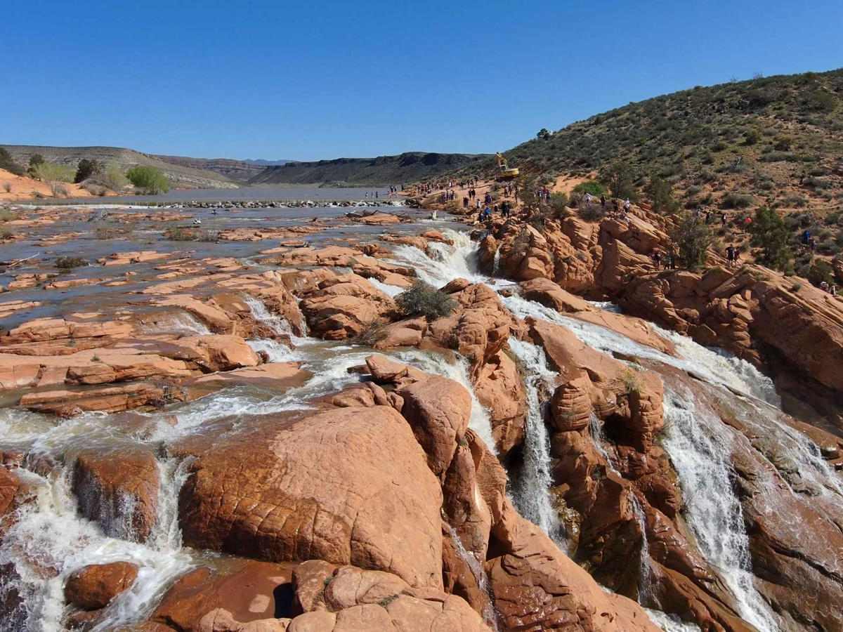
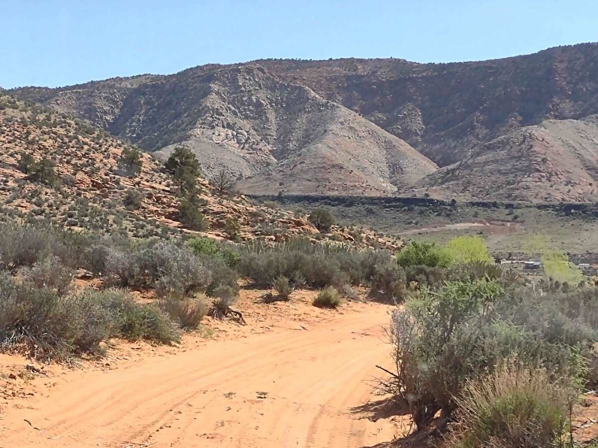
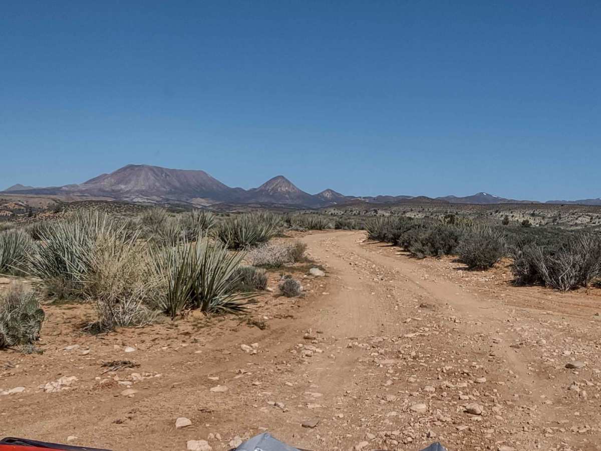
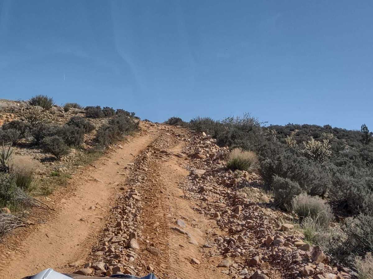
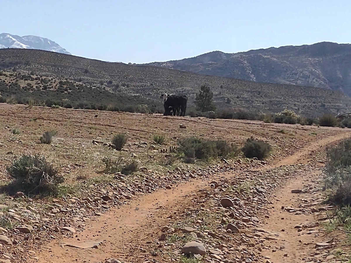
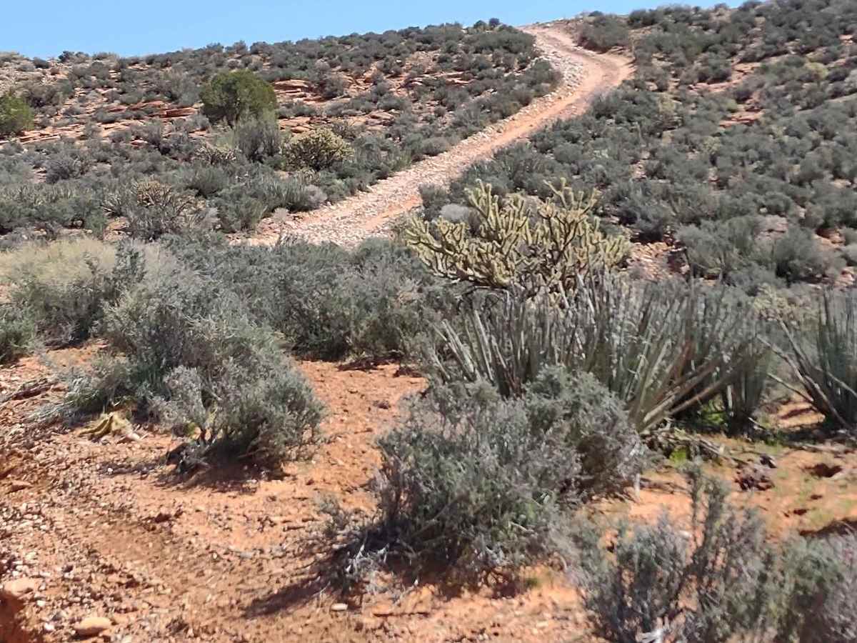
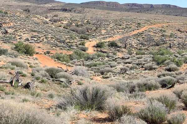
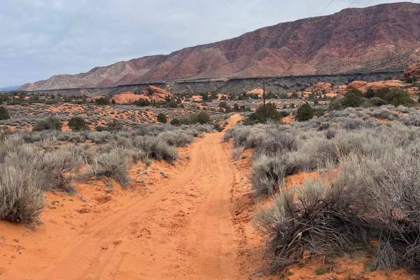
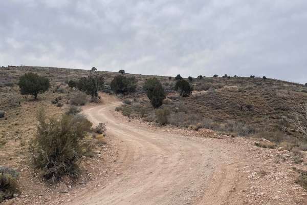
Looking for a way to get to the back of Gunlock Falls, away from the crowds who have access from Gunlock Road? This is it! It's a roughly 3-mile trail that goes down from Red Canyon 2.5 to the reservoir, then you skirt around the edge of the reservoir, over some slick rock formations and to the falls. The slick rock formations are not difficult at all. There is a steep incline/decline when you drop from the top of the ridge down to the reservoir. It's open range, so there may be cows in this area. The scenery is amazing, and the waterfall, if active, is photo-worthy! If you want to see a bit of drone footage over the falls, check out this YouTube channel: Laura Woods 3466, and look for the 8-second video called Gunlock Falls. In February of 2023 Utah began enforcement of a new law, which requires an online education course for all off-roaders. The free course is available online. Google "Utah OHV Education Course," and the free test will pop up. It's an easy test that will only take 15-30 minutes, and it's required for all off-roaders, Jeeps, SXSs, dirt bikes, ATVs. Kids under the age of 18 will have to take the Youth Education Test at the same site. After completing the test, print out the certificate to carry with you which shows you completed the course. We have taken it, and it's really no big deal. Good reminders about trail etiquette and trail preservation.
Difficulty
This is an easy trail, depending on the time of year you ride it. If the falls are active and the reservoir is high, the trail may include some water crossings as you move around the edge of the reservoir. The rock formations are easy.