
Dirt Bike Trails
Near Iron River, Michigan
Explore All Dirt Bike Trails Near Iron River, Michigan
Dirt Bike Trails Near Iron River, Michigan
Discover the best dirt bike trails near you. Browse trail maps, check difficulty ratings, and find your next adventure — whether you're looking for a quick ride or an all-day expedition.
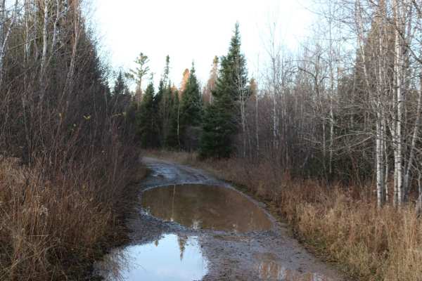
Swan Rd
This trail, a mix of gravel road and unmaintained 2-track, will take you deep into the UP woods. It is mostly flat with gentle grades and several blind corners with potential for 2-way traffic. The water holes have solid bottoms but can be a foot deep following a rain or Spring runoff.
Learn more about Swan Rd
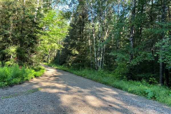
Dead Mans Road - FS 2832
This trail begins as a semi-maintained gravel forest road that is just over one vehicle wide, with good sight lines and good traction thanks to the surface. At roughly the halfway mark, the trail transitions to a two-track dirt trail. This section of the trail has several steep hills, as well as man...
Learn more about Dead Mans Road - FS 2832
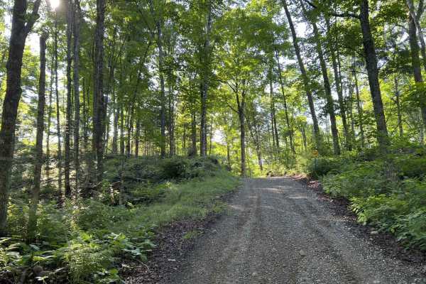
Rock Creek Road - Florence County F14
When starting this trail from FR 2832 to FR 2161, the route begins in the National Forest. This section of the national forest is very hilly, with lots of elevated points as well as deep bowls. The trail follows a good amount of this terrain as it winds through this section of forest. The trail in t...
Learn more about Rock Creek Road - Florence County F14
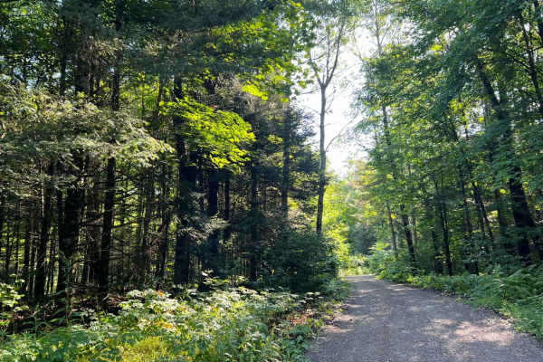
FS 2156L
This is the westernmost section of Florence County's F14 Trail. This trail navigates from its intersection with FS 2156 to its intersection with FS 2832. (FS 2832 is also a part of the F14 Trail but is open to 4x4s.) The trail surface is mostly smooth gravel, which eliminates any of the obstacles th...
Learn more about FS 2156L
FS 2398
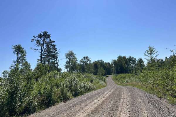
FS 2398 navigates from its northern intersection with FS 2161 to its southern intersection with FS 2162. This trail is open to all vehicle types and is moderately maintained, meaning the gravel surface is typically graded at least once a year. This trail travels through a large variety of scenery ty...
Learn more about FS 2398
Lukes Road
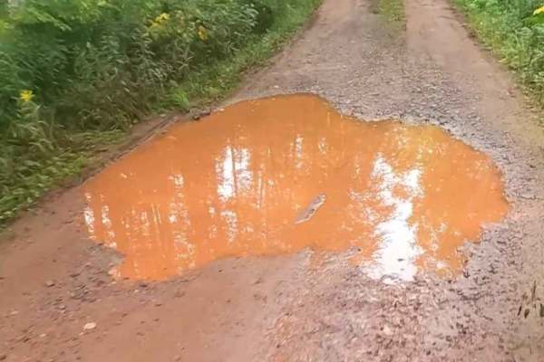
Lukes Road is a non-DNR road that is maintained privately. The road has a surface composed of gravel, dirt, and native material, and it is in fair condition. The ownership of this road is unspecified, and it remains open under current closure criteria. This road provides access to the East Branch of...
Learn more about Lukes Road
Morgan Lake Road - FS 2161
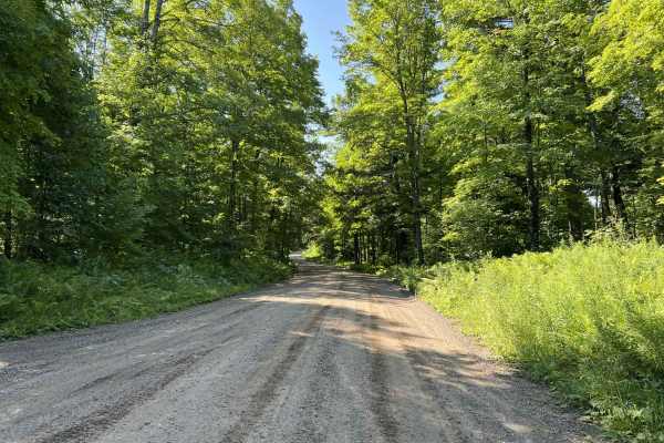
FS 2161 runs from its intersection with State Highway 139 to its intersection with FS 2159. This trail is a moderately maintained gravel forest road that varies in width; most of the trail is wide enough for vehicles to pass each other at slow speeds, but some portions of the trail are narrow and wi...
Learn more about Morgan Lake Road - FS 2161
Barrens Loop
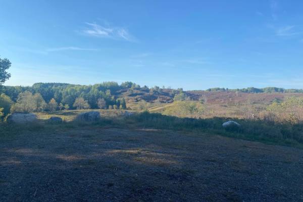
This is a twisting trail through the stunning Barrens Nature Area. This trail's surface is a lot like most other trails in this area and is made up of rocks and sand. There are several great picture opportunities along this loop and access to Sand Lake and Pine River Overlook.
Learn more about Barrens Loop
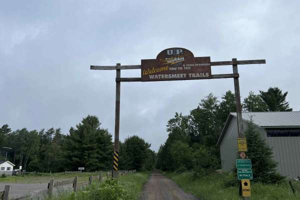
Gogebic County MI Trail LL/3
This is trail LL/ 3 located in Gogebic County, Michigan. This trail runs from its starting point at the Michigan/ Wisconsin border, and continues north to the town of Watersmeet, where it ends at the intersection of the Iron River-Marenisco Trail and Trail LL Bass Lake Road. This trail is a wide and...
Learn more about Gogebic County MI Trail LL/3
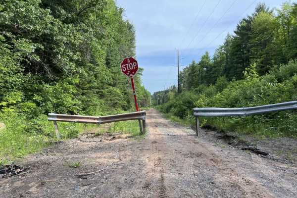
Trail LL - Paulding Lights
This is Trail LL, Paulding Lights, located in Gogebic and Ontonagon Counties, Michigan. This trail begins where Trail LL resumes as a gravel road (Bass Lake Rd) north of the town of Watersmeet. If traveling by ATV or SxS, a short paved route through town will need to be used in order to navigate fro...
Learn more about Trail LL - Paulding Lights
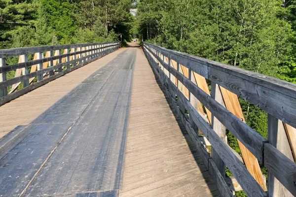
Two Waterfalls
This route is a collection of a few forest service roads linked together in the Ottawa National Forest to visit two scenic waterfalls in the area, Agate Falls and Bond Falls. Most of the route is 2 lanes wide except the first 10 miles on the NE side. This section is optional. It's a snowmobile trail...
Learn more about Two Waterfalls
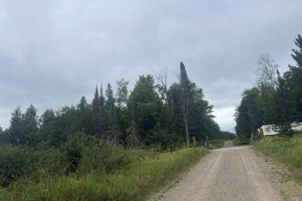
FS 2387
FS 2387 is a large, mostly two-lane gravel forest road that runs from its intersection with Dick Samz Road to its northern intersection with FS 2166. This forest road is mostly straight with only a couple of small curves; however, there is a good mix of gentle rolling elevation changes that add a lo...
Learn more about FS 2387
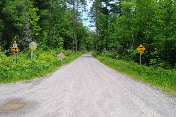
FDR 2200
This section of FDR 2200 is mapped from Markey Lake Road to FDR 2270. The area mapped is 10.8 miles long, and takes about an hour with an average speed of 10.1 MPH including time for trail pictures and a short walk to the view from the "Bears Den Overlook". (The short walk is about 200 feet from the...
Learn more about FDR 2200
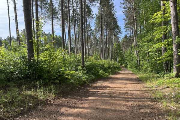
Trail LL FDR-5311
Trail LL FDR-5311 is located in Ontonagon County, Michigan. This lollipop-style trail starts at its intersection with Bond Falls Road. The trail is classified as a Lollipop style trail since it has a shared entry and exit point that is accessible by all vehicle types. The surface of this trail is mo...
Learn more about Trail LL FDR-5311
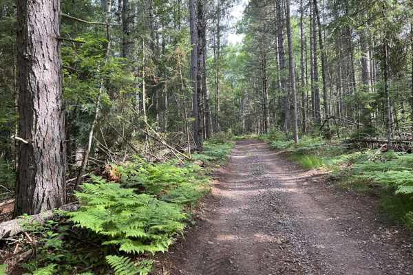
LL FDR-5288 Trail
Trail LL Fdr-5288 is a 64 inches wide and under trail open to ATV, SxS, and OHM. This trail runs from its Western starting point at its intersection with Trail LL, Paulding Lights, and ends at its intersection with FDR-5311. This is a very tight and winding dirt trail that traverses the eastern part...
Learn more about LL FDR-5288 Trail
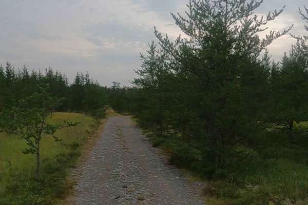
Gorge Cutoff - FDR 2243 Primary
Gorge Cutoff Primary is a Forest Access Route managed by the Baraga Forestry Service. The route is open to ORV use and has a surface composed of dirt, sand, gravel, and native material. The road is in fair condition and is owned by the State of Michigan.
This route remains open under current closur...
Learn more about Gorge Cutoff - FDR 2243 Primary
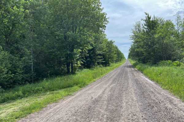
Swanson Road
Swanson Road is located in Ontonagon County, Michigan. This trail runs from its intersection with US Highway 45 to its intersection with FR-5320. This is a short access trail that will allow road-legal vehicles easy access to the southern Ontonagon County trails. The trail itself consists of wide op...
Learn more about Swanson Road
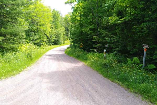
FDR 1300 / Markey Lake Road
FDR 1300 / Markey Lake Road is 8.4 miles long and takes about 45 minutes with an average speed of 10.4 MPH including time for trail pictures. This is both FDR 1300 and Markey Lake Road and connects FDR 1334/FDR 1300 with FDR 2200 to loop around the east side of The Sturgeon River Gorge Wilderness.
Learn more about FDR 1300 / Markey Lake Road
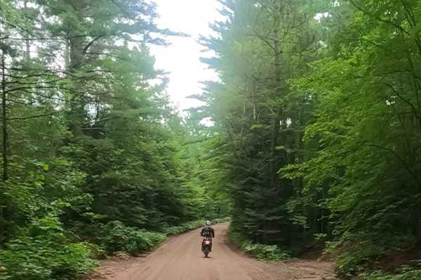
Baraga Plains Road
Plains Road is a non-DNR road owned by the county. The surface consists of gravel, dirt, sand, and native material, and the overall condition is considered fair. Although it is classified as a non-DNR road, a portion of it is managed as a DNR road. The road remains open under current closure criteri...
Learn more about Baraga Plains Road
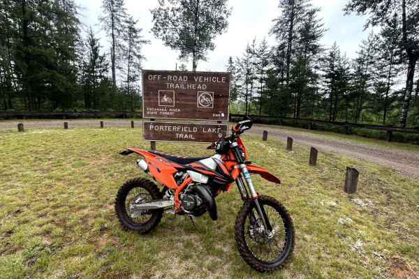
Porterfield Lake
Porterfield Lake single track has dark, packed soil with plenty of roots and rocks between tight trees. The entire trail system is made up of switchbacks. Much of the trail is very overgrown. Taking the trail clockwise, there is only one decent rocky hill-the rest of this trail is relatively flat. ...
Learn more about Porterfield Lake
ATV trails near Iron River, Michigan
Explore ATV-friendly trails near you. These trails are accessible for vehicles up to 50 inches wide, perfect for ATVs and smaller off-road machines.
Swan Rd
This trail, a mix of gravel road and unmaintained 2-track, will take you deep into the UP woods. It is mostly flat with gentle grades and several blind corners with potential for 2-way traffic. The water holes have solid bottoms but can be a foot deep following a rain or Spring runoff.
Learn more about Swan Rd
Dead Mans Road - FS 2832
This trail begins as a semi-maintained gravel forest road that is just over one vehicle wide, with good sight lines and good traction thanks to the surface. At roughly the halfway mark, the trail transitions to a two-track dirt trail. This section of the trail has several steep hills, as well as man...
Learn more about Dead Mans Road - FS 2832
Rock Creek Road - Florence County F14
When starting this trail from FR 2832 to FR 2161, the route begins in the National Forest. This section of the national forest is very hilly, with lots of elevated points as well as deep bowls. The trail follows a good amount of this terrain as it winds through this section of forest. The trail in t...
Learn more about Rock Creek Road - Florence County F14
FS 2156L
This is the westernmost section of Florence County's F14 Trail. This trail navigates from its intersection with FS 2156 to its intersection with FS 2832. (FS 2832 is also a part of the F14 Trail but is open to 4x4s.) The trail surface is mostly smooth gravel, which eliminates any of the obstacles th...
Learn more about FS 2156L
UTV/side-by-side trails near Iron River, Michigan
Find UTV and side-by-side trails near you. These trails accommodate vehicles up to 60 inches wide, ideal for UTVs, side-by-sides, and wider off-road rigs.
Swan Rd
This trail, a mix of gravel road and unmaintained 2-track, will take you deep into the UP woods. It is mostly flat with gentle grades and several blind corners with potential for 2-way traffic. The water holes have solid bottoms but can be a foot deep following a rain or Spring runoff.
Learn more about Swan Rd
Dead Mans Road - FS 2832
This trail begins as a semi-maintained gravel forest road that is just over one vehicle wide, with good sight lines and good traction thanks to the surface. At roughly the halfway mark, the trail transitions to a two-track dirt trail. This section of the trail has several steep hills, as well as man...
Learn more about Dead Mans Road - FS 2832
Rock Creek Road - Florence County F14
When starting this trail from FR 2832 to FR 2161, the route begins in the National Forest. This section of the national forest is very hilly, with lots of elevated points as well as deep bowls. The trail follows a good amount of this terrain as it winds through this section of forest. The trail in t...
Learn more about Rock Creek Road - Florence County F14
FS 2156L
This is the westernmost section of Florence County's F14 Trail. This trail navigates from its intersection with FS 2156 to its intersection with FS 2832. (FS 2832 is also a part of the F14 Trail but is open to 4x4s.) The trail surface is mostly smooth gravel, which eliminates any of the obstacles th...
Learn more about FS 2156L
The onX Offroad Difference
onX Offroad combines trail photos, descriptions, difficulty ratings, width restrictions, seasonality, and more in a user-friendly interface. Available on all devices, with offline access and full compatibility with CarPlay and Android Auto. Discover what you're missing today!
Open Trail Map