
Dirt Bike Trails
Near Hartline, Washington
Explore All Dirt Bike Trails Near Hartline, Washington
Dirt Bike Trails Near Hartline, Washington
Discover the best dirt bike trails near you. Browse trail maps, check difficulty ratings, and find your next adventure — whether you're looking for a quick ride or an all-day expedition.
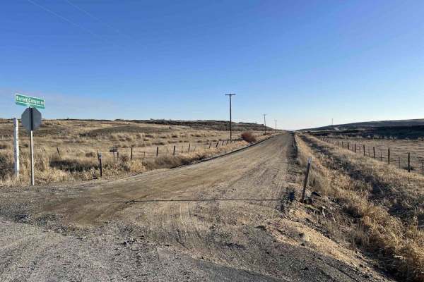
Barker Canyon Road
Barker Canyon Road is a 6-mile point-to-point route beginning at its junction with Washington Route 174 and descending through Barker Canyon to Banks Lake. The first 5.5 miles of the road traverse private property. Please remain on the designated route and respect all posted signage. The trail ends ...
Learn more about Barker Canyon Road
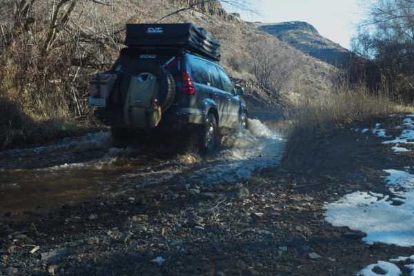
Douglas Creek Creekside Campsite
This trail is gorgeous and features views unique to eastern Washington. There are a few shallow water crossings and some light mud. Some of the water crossings in the area have large rocks, so take it slow. Be aware of huge potholes, and maintain a slower speed for that reason. This particular path ...
Learn more about Douglas Creek Creekside Campsite

Sand Dunes Site
This is a gravel road to the sand dunes site with some washboard, lots of dust, and dunes with overgrown vegetation. It's a very easy gravel road, with minor elevation, this portion can be done in any season, day or night. No pass is required. Vehicles are not allowed to go off-path, and certain are...
Learn more about Sand Dunes Site
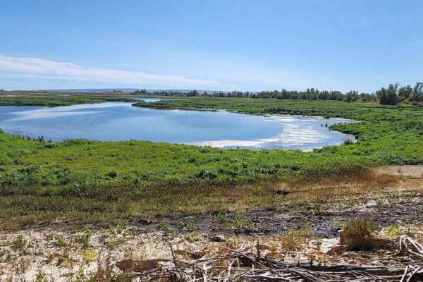
Bird Reserve
This gravel road runs through a bird reserve. It is only accessible between August and October. The trail is gated, the road turns into a dirt road, and there are some narrower areas, but there is nothing to be concerned about. It would be best if you were careful of upcoming traffic as you might ha...
Learn more about Bird Reserve
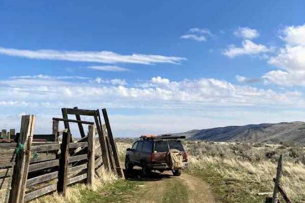
Duffy Creek Overlook
The Duffy Creek route takes you across some of the most scenic BLM land in central Washington. Most of the route overlooks the stunning Waterville Plateau. The route eventually descends into Duffy Creek; however, that section of the route is less used, overgrown, and narrow. Full-sized vehicles will...
Learn more about Duffy Creek Overlook
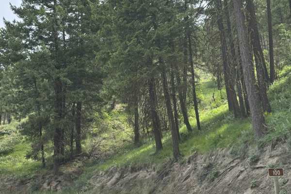
Echo Ridge - FS 8021-130
This is an easy gravel road that climbs up Echo Ridge approximately 400 feet in elevation. There are a couple of turns, but overall, this is an easy trail that any vehicle type could traverse. There are multiple hiking, biking, and snowmobile trails along the way, and the trail dead ends in the park...
Learn more about Echo Ridge - FS 8021-130
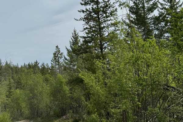
Washington Creek Road - FS 8021
This forest road is dirt-based and narrow, but widens and turns to gravel as you descend into Echo Valley. The trail is one vehicle wide for the majority of the time, with places to pass. You will encounter ruts and wash under a foot, and many humps/whoops that will lift you out of the seat if taken...
Learn more about Washington Creek Road - FS 8021
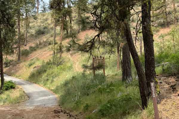
Cooper Mountain Road Southwest - FS 8020
This is a dirt-based forest road that climbs more than 3,000 feet in elevation. There are sections of gravel and mulch, with some areas having loose rocks. There are humps/whoops in the road that you must go over, and the road is narrow and one vehicle wide in most places, with no room to pass. Ther...
Learn more about Cooper Mountain Road Southwest - FS 8020
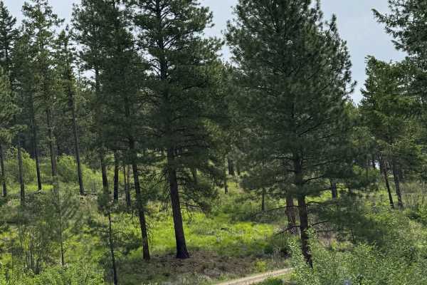
Washington Butte Trail
This is a mostly gravel forest road that climbs to the top of Washington Butte at 4,347 feet in elevation. The trail is narrow, two-track in most areas, and one vehicle wide with few places to pass. There is one sharp hairpin turn, and there are minor ledges along the trail. There are minor ruts and...
Learn more about Washington Butte Trail
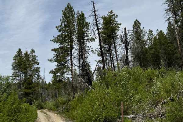
Goat Mountain Road - FS 8140-145
This is a dirt-based forest road that climbs to the top of Goat Mountain. At the top, there are 2 radio/phone towers, and you will have a panoramic view of the peaks and ridges in the area. The trail up is narrow and one vehicle wide in most places, with some two-track sections. There are places to ...
Learn more about Goat Mountain Road - FS 8140-145
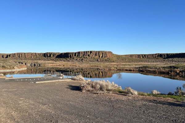
Seep Lake
This route into Seep Lakes area takes you to many possible campsites at the different lakes. A Discover Pass or vehicle pass is required in the area. The road is nicely groomed and easily driven with a 2WD vehicle to the campsites and lakes. There appear to be plenty of spur roads on the map; howev...
Learn more about Seep Lake
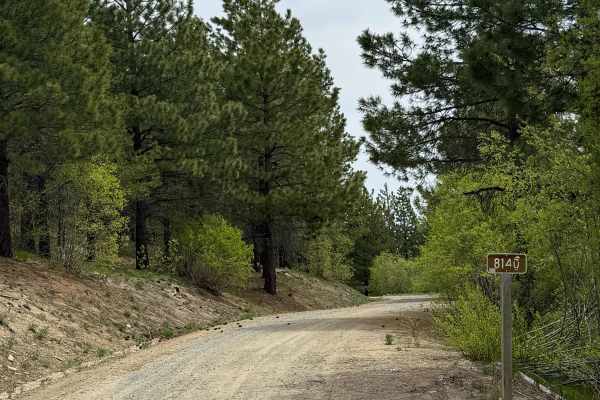
Antoine Creek Road - FS 8140
This forest road has sections of dirt and gravel. Starting from Cooper Mountain Road, you will descend nearly 3,200 feet in elevation. There are areas that are very steep with a 13% pitch. The road is wide enough for 2 vehicles to pass most of the way, but there are many switchbacks with ledges and ...
Learn more about Antoine Creek Road - FS 8140
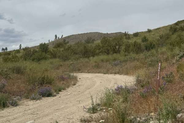
Johnson Creek Road - FS 8213
This is a narrow, one-lane, dirt-based forest road. There are a few places to pass, and the trail is a shelf road most of the way with over 2,100 feet in elevation change. There are ruts and wash under a foot, and bumpy rock garden sections with some loose rock. The switchbacks have ledges with high...
Learn more about Johnson Creek Road - FS 8213
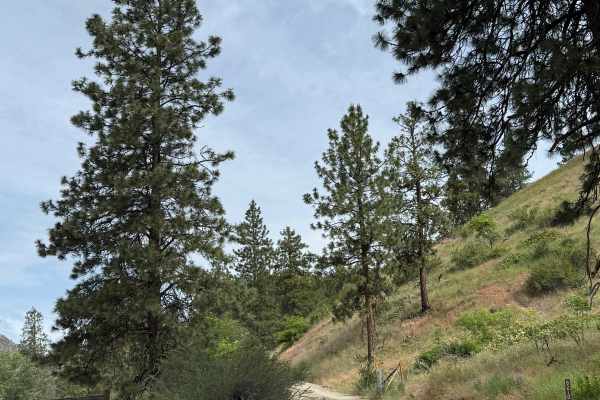
Joe Creek Road - FS 8210
This is a forest road that climbs over 3,000 feet in elevation. The trail starts on gravel and transitions to dirt. As the road climbs, it also becomes narrow and one lane wide in many areas, with no place to pass. There are some ruts and washouts under a foot deep, which should not cause an issue. ...
Learn more about Joe Creek Road - FS 8210
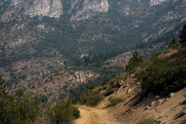
East Fork Mitchell FS 8215-112
East Fork Mitchell is a 3.5-mile-long easy ATV trail near the town of Chelan, Washington. The trail starts off Grade Creek Road, and it climbs and winds up the hillside on a wide path. The trail has minor technical features such as small loose rocks, shallow ruts, embedded rock surfaces, and loose d...
Learn more about East Fork Mitchell FS 8215-112
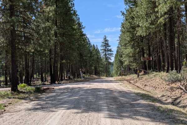
FS 4150
This is a 1.5-lane easy dirt and gravel road through a mixed pine and fir forest. There are a few embedded rocks. It begins where Benson Creek Drive meets the national forest boundary and meets up with the main FS 41 road adjacent to the southern boundary of this piece of Okanogan National Forest. T...
Learn more about FS 4150
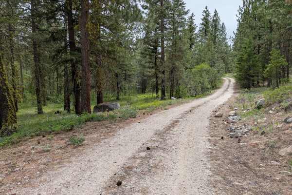
FS 4100-030
This single-lane road loops from the main FS 41 road. It has some loose rock on the climbs and descents that will be more noticeable to those on 2 wheels. There's also erosion damage up to a foot deep, as well as random rocks less than a foot high (some embedded, some loose). It's a fun little diver...
Learn more about FS 4100-030
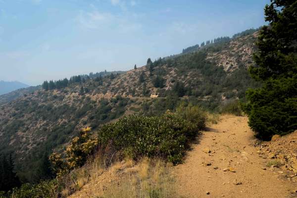
Mitchell Creek FS 8215
Mitchell Creek Trail is a 7 mile long easy ATV trail near the town of Chelan, Washington. The trail starts off of Grade Creek Road, and it climbs and winds up the hillside on a wide path that has shallow ruts, big loose rocks, and loose dirt. The first two miles of trail are the steepest, as it clim...
Learn more about Mitchell Creek FS 8215
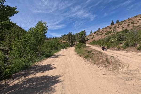
Oklahoma Gulch Road
Oklahoma Gulch Road is a 5.7-mile point-to-point route that follows a wide, smooth, and well-maintained gravel and dirt surface, connecting Mud Creek Road to Highway 97. A Discover Pass is required for access. The road becomes steeper and more winding southeast of the intersection with South Fork Mu...
Learn more about Oklahoma Gulch Road
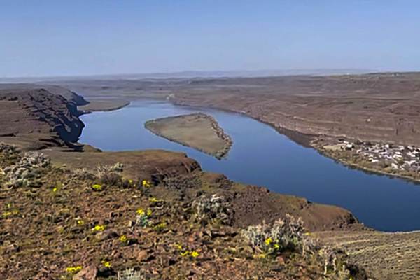
Tekison Creek Road
The trail is designated as a green dot road and consists of compacted dirt mixed with sharp basalt rocks, which gives it a difficulty rating of 1. Located in a high desert area, this trail is known for its windy conditions. As you traverse the trail, you'll have the opportunity to see a windmill far...
Learn more about Tekison Creek Road
ATV trails near Hartline, Washington
Explore ATV-friendly trails near you. These trails are accessible for vehicles up to 50 inches wide, perfect for ATVs and smaller off-road machines.
Barker Canyon Road
Barker Canyon Road is a 6-mile point-to-point route beginning at its junction with Washington Route 174 and descending through Barker Canyon to Banks Lake. The first 5.5 miles of the road traverse private property. Please remain on the designated route and respect all posted signage. The trail ends ...
Learn more about Barker Canyon Road
Douglas Creek Creekside Campsite
This trail is gorgeous and features views unique to eastern Washington. There are a few shallow water crossings and some light mud. Some of the water crossings in the area have large rocks, so take it slow. Be aware of huge potholes, and maintain a slower speed for that reason. This particular path ...
Learn more about Douglas Creek Creekside Campsite
Sand Dunes Site
This is a gravel road to the sand dunes site with some washboard, lots of dust, and dunes with overgrown vegetation. It's a very easy gravel road, with minor elevation, this portion can be done in any season, day or night. No pass is required. Vehicles are not allowed to go off-path, and certain are...
Learn more about Sand Dunes Site
Bird Reserve
This gravel road runs through a bird reserve. It is only accessible between August and October. The trail is gated, the road turns into a dirt road, and there are some narrower areas, but there is nothing to be concerned about. It would be best if you were careful of upcoming traffic as you might ha...
Learn more about Bird Reserve
UTV/side-by-side trails near Hartline, Washington
Find UTV and side-by-side trails near you. These trails accommodate vehicles up to 60 inches wide, ideal for UTVs, side-by-sides, and wider off-road rigs.
Barker Canyon Road
Barker Canyon Road is a 6-mile point-to-point route beginning at its junction with Washington Route 174 and descending through Barker Canyon to Banks Lake. The first 5.5 miles of the road traverse private property. Please remain on the designated route and respect all posted signage. The trail ends ...
Learn more about Barker Canyon Road
Sand Dunes Site
This is a gravel road to the sand dunes site with some washboard, lots of dust, and dunes with overgrown vegetation. It's a very easy gravel road, with minor elevation, this portion can be done in any season, day or night. No pass is required. Vehicles are not allowed to go off-path, and certain are...
Learn more about Sand Dunes Site
Bird Reserve
This gravel road runs through a bird reserve. It is only accessible between August and October. The trail is gated, the road turns into a dirt road, and there are some narrower areas, but there is nothing to be concerned about. It would be best if you were careful of upcoming traffic as you might ha...
Learn more about Bird Reserve
Duffy Creek Overlook
The Duffy Creek route takes you across some of the most scenic BLM land in central Washington. Most of the route overlooks the stunning Waterville Plateau. The route eventually descends into Duffy Creek; however, that section of the route is less used, overgrown, and narrow. Full-sized vehicles will...
Learn more about Duffy Creek Overlook
The onX Offroad Difference
onX Offroad combines trail photos, descriptions, difficulty ratings, width restrictions, seasonality, and more in a user-friendly interface. Available on all devices, with offline access and full compatibility with CarPlay and Android Auto. Discover what you're missing today!
Open Trail Map