
Dirt Bike Trails
Near Glendale, Utah
Explore All Dirt Bike Trails Near Glendale, Utah
Dirt Bike Trails Near Glendale, Utah
Discover the best dirt bike trails near you. Browse trail maps, check difficulty ratings, and find your next adventure — whether you're looking for a quick ride or an all-day expedition.

Elkheart Cliffs Overlook
This trail begins at the Glendale Bench Road, a dirt road that starts off easy, with a few sandy spots. 4WD/AWD is recommended. About 6.7 miles in, you will come to a gate that you can pass through. Be sure to close the gate behind you and stay on Country Road 112, as this trail goes through private...
Learn more about Elkheart Cliffs Overlook
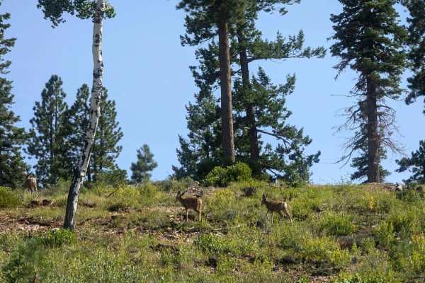
Stout Canyon Road
You are in for a scenic option to avoid some pavement between Highway 89 near Glendale Utah, and Highway 14 near Duck Creek Village Utah. The road is well maintained and varies between one and two vehicles wide as you climb up from Highway 14 and end up on the Markagunt Plateau. The north end of thi...
Learn more about Stout Canyon Road
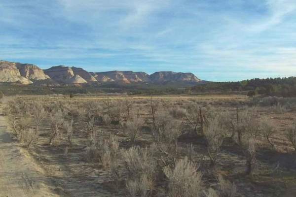
Deer Hollow-K2155
Deer Hollow-K2155 is a 2.7-mile point-to-point single track that provides scenic views of the Kanab Cliffs and Sugar Knoll. The trail is rated 3 of 10 due to the potential for deep sand in spots. The trail in conjunction with Twin Hollow-BLM98 and Trail Canyon trails creates a 12-mile loop from High...
Learn more about Deer Hollow-K2155
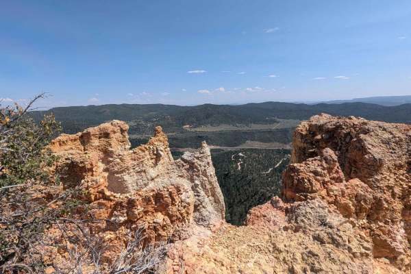
Stout Ridge Point
This trail leads to a beautiful scenic overlook where you can see Highway 89 and the cliffs and canyons beyond. This trail can be reached by following Stout Ridge from the north or accessed from Highway 89 taking the south entrance of Stout Canyon Ridge for a short distance, which will get you to th...
Learn more about Stout Ridge Point
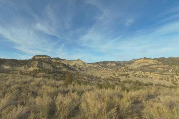
Trail Canyon
Trail Canyon is a 2.7-mile point-to-point single track that provides scenic views of the Kanab Cliffs and Sugar Knoll. The trail is rated 3 of 10 due to the potential for deep sand in spots. The trail in conjunction with Twin Hollow-BLM98 and Deer Hollow trails creates a 12-mile loop from Highway 9 ...
Learn more about Trail Canyon
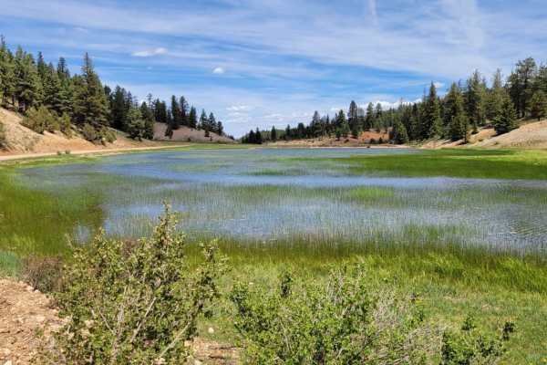
Swains Creek
Also known as Strawberry Ridge Road, this maintained scenic dirt road begins/ends from the 14 and is easy enough for 2WD vehicles. At one point, you will enter a private property residence--Swains Creek Pines--so be sure to be respectful of posted signs. South of the properties, the road takes you p...
Learn more about Swains Creek
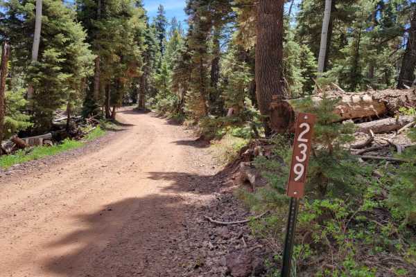
Harris Rim Loop Connector
This brief 1.5-mile trail connects Strawberry Ridge and Swains Creek. The entire trail is a hill climb/descent, depending on which direction you take it. North to South is descending; South to North is ascending. There are a few large rocky patches, loose rocks, and erosion spots on the trail. Beaut...
Learn more about Harris Rim Loop Connector
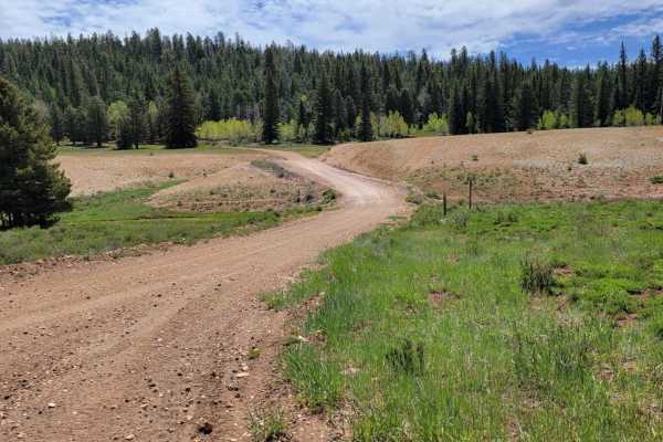
Billingsly Trail
Billingsly Trail (Trail #67 of the Markagunt OHV System, or Forest Service Road 30598) is an easy and scenic 2.3-mile connector trail perfect for beginners and anyone looking for a quick, relaxed mountain drive. This trail bridges the gap between Harris Rim and Swains Creek, winding through dense st...
Learn more about Billingsly Trail

Stout Canyon Connector
This trail connects Stout Canyon Ridge and Stout Canyon Road. There are some steep parts, with one of those sections having a pretty good wash through it. That wash, as pictured flows off into the canyon at a turn in the trail that is causing some erosion there. In a full-size vehicle, this may pose...
Learn more about Stout Canyon Connector
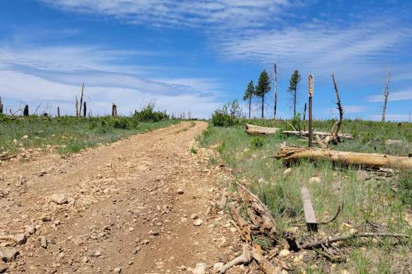
Billingsly Creek Draw
This short trail connects from Harris Rim to Swains Creek. There are some large erosion ruts especially in the middle of the trail. At some point there was a wildfire that burned the forest at the top of the trail. There is a small, shallow water crossing right at the beginning/end on the Swains Cre...
Learn more about Billingsly Creek Draw
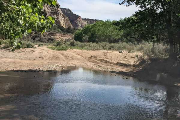
Lower Barracks Trail - BLM20
This is a sandy eleven-mile out-and-back version of the longer Barracks Trail that stays meanders along the East Fork of the Virgin River. This segment turns back at a challenging soft sand hill climb rated as a seven (7) in difficulty. Heavy overland rigs and dual-sport touring bikes should not att...
Learn more about Lower Barracks Trail - BLM20
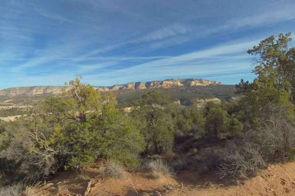
Twin Hollow BLM 98
Twin Hollow BLM 98 is a 5-mile point-to-point single-track that provides scenic views of the Kanab Cliffs and Sugar Knoll. The trail is rated 3 of 10 due to the potential for deep sand in spots. The trail starts just west of Mount Carmel Junction on Highway 9. The trail in conjunction with Trail Can...
Learn more about Twin Hollow BLM 98

BLM 103S
Fittingly nicknamed "Shaken Not Stirred," BLM 103S is a highly scenic but distinctly bumpy 3.4-mile backcountry two-track that serves as an unforgettable high-desert transit. The vividly colored, deeply tracked red-sand route playfully meanders through a dense landscape heavily populated by mature g...
Learn more about BLM 103S
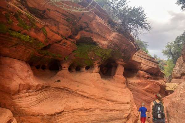
Diana's Throne
Diana's Throne is an exceptional four-mile off-road trail near Orderville, Utah, that serves as a premier destination for high-clearance four-wheel-drive vehicles and SxSs looking for scenic red rock vistas and challenging sandy climbs. Climbing from a minimum elevation of 5,186 feet to a maximum of...
Learn more about Diana's Throne
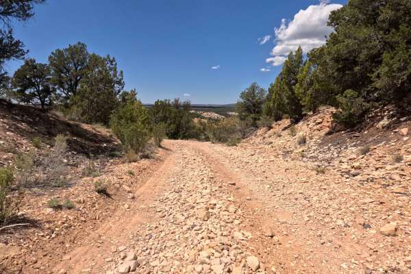
BLM 109G
BLM 109G is a highly accessible, wonderfully scenic 1.0-mile backcountry two-track that provides off-road explorers with an exceptionally relaxed driving experience. Conveniently paralleling Highway 89, this brief but rewarding transit features a predominantly firm, gravel-covered surface that playf...
Learn more about BLM 109G
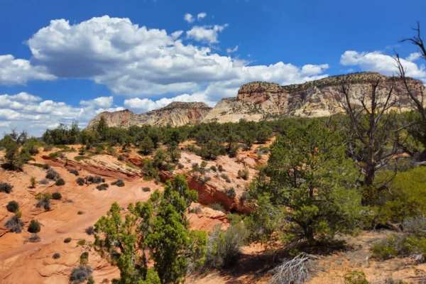
BLM 106W
Clearly marked at its entrance by a standard brown carsonite forest service post, BLM 106W is a beautifully scenic, highly approachable backcountry two-track. The trail features a generally firm, hardpack sand surface that playfully winds its way through a classic high-desert landscape, heavily popu...
Learn more about BLM 106W
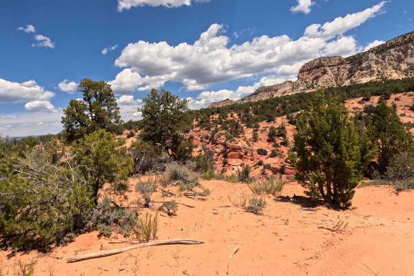
Diana's Throne - BLM 106V
Diana's Throne Trail (BLM 106V) is an intensely challenging, 0.7-mile backcountry route that delivers a highly technical, adrenaline-pumping experience for advanced off-road explorers. Surrounded by sweeping views of the majestic, towering stone cliffs, the journey immediately commands your attentio...
Learn more about Diana's Throne - BLM 106V
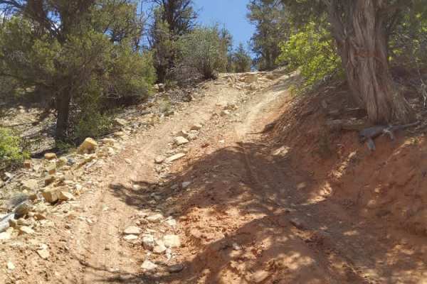
BLM 106Y
BLM 106Y is an exciting, distinctly roller-coaster-like 1.3-mile backcountry trail that promises a deeply engaging drive for adventurous off-roaders. The vividly colored landscape playfully alternates its driving surface between patches of rough, loose white gravel and sections of heavily tracked, d...
Learn more about BLM 106Y
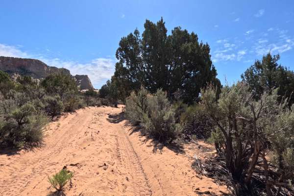
BLM 106E
BLM 106E is a highly scenic, 2.1-mile backcountry sand two-track that treats explorers to some of the most dramatic geological views in the region. As the vividly colored red-sand path playfully winds its way through a dense high-desert landscape heavily populated by mature green juniper trees and t...
Learn more about BLM 106E
Zion Overlook Loop
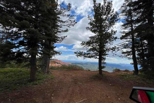
This is a side loop to Trail 57. When you get to the water tank veer to the left and you will see Trail Marker 57. There are several pullouts for photo ops. Beuatiful views of Zion National Park and surrounding areas. Avoid this trail if you are afriad of heights. Trail will become very tight and wi...
Learn more about Zion Overlook Loop
ATV trails near Glendale, Utah
Explore ATV-friendly trails near you. These trails are accessible for vehicles up to 50 inches wide, perfect for ATVs and smaller off-road machines.
Elkheart Cliffs Overlook
This trail begins at the Glendale Bench Road, a dirt road that starts off easy, with a few sandy spots. 4WD/AWD is recommended. About 6.7 miles in, you will come to a gate that you can pass through. Be sure to close the gate behind you and stay on Country Road 112, as this trail goes through private...
Learn more about Elkheart Cliffs Overlook
Stout Canyon Road
You are in for a scenic option to avoid some pavement between Highway 89 near Glendale Utah, and Highway 14 near Duck Creek Village Utah. The road is well maintained and varies between one and two vehicles wide as you climb up from Highway 14 and end up on the Markagunt Plateau. The north end of thi...
Learn more about Stout Canyon Road
Deer Hollow-K2155
Deer Hollow-K2155 is a 2.7-mile point-to-point single track that provides scenic views of the Kanab Cliffs and Sugar Knoll. The trail is rated 3 of 10 due to the potential for deep sand in spots. The trail in conjunction with Twin Hollow-BLM98 and Trail Canyon trails creates a 12-mile loop from High...
Learn more about Deer Hollow-K2155
Stout Ridge Point
This trail leads to a beautiful scenic overlook where you can see Highway 89 and the cliffs and canyons beyond. This trail can be reached by following Stout Ridge from the north or accessed from Highway 89 taking the south entrance of Stout Canyon Ridge for a short distance, which will get you to th...
Learn more about Stout Ridge Point
UTV/side-by-side trails near Glendale, Utah
Find UTV and side-by-side trails near you. These trails accommodate vehicles up to 60 inches wide, ideal for UTVs, side-by-sides, and wider off-road rigs.
Elkheart Cliffs Overlook
This trail begins at the Glendale Bench Road, a dirt road that starts off easy, with a few sandy spots. 4WD/AWD is recommended. About 6.7 miles in, you will come to a gate that you can pass through. Be sure to close the gate behind you and stay on Country Road 112, as this trail goes through private...
Learn more about Elkheart Cliffs Overlook
Stout Canyon Road
You are in for a scenic option to avoid some pavement between Highway 89 near Glendale Utah, and Highway 14 near Duck Creek Village Utah. The road is well maintained and varies between one and two vehicles wide as you climb up from Highway 14 and end up on the Markagunt Plateau. The north end of thi...
Learn more about Stout Canyon Road
Deer Hollow-K2155
Deer Hollow-K2155 is a 2.7-mile point-to-point single track that provides scenic views of the Kanab Cliffs and Sugar Knoll. The trail is rated 3 of 10 due to the potential for deep sand in spots. The trail in conjunction with Twin Hollow-BLM98 and Trail Canyon trails creates a 12-mile loop from High...
Learn more about Deer Hollow-K2155
Stout Ridge Point
This trail leads to a beautiful scenic overlook where you can see Highway 89 and the cliffs and canyons beyond. This trail can be reached by following Stout Ridge from the north or accessed from Highway 89 taking the south entrance of Stout Canyon Ridge for a short distance, which will get you to th...
Learn more about Stout Ridge Point
The onX Offroad Difference
onX Offroad combines trail photos, descriptions, difficulty ratings, width restrictions, seasonality, and more in a user-friendly interface. Available on all devices, with offline access and full compatibility with CarPlay and Android Auto. Discover what you're missing today!
Open Trail Map