
Dirt Bike Trails
Near Geronimo Estates, Arizona
Explore All Dirt Bike Trails Near Geronimo Estates, Arizona
Dirt Bike Trails Near Geronimo Estates, Arizona
Discover the best dirt bike trails near you. Browse trail maps, check difficulty ratings, and find your next adventure — whether you're looking for a quick ride or an all-day expedition.
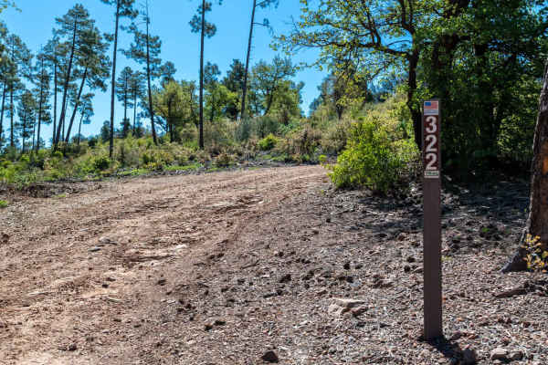
Cedar Mesa - FS 322
This rocky dirt road begins with a climb right out of the gate, featuring some washouts and uneven terrain early on. As you continue, the route gains and loses elevation frequently, with several steep climbs up small hilltops. There are a few great dispersed camp spots along the way offering fantast...
Learn more about Cedar Mesa - FS 322
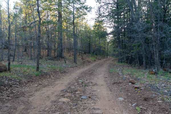
FS 9382L
This trail starts very rutted, creating an uneven and bumpy ride right from the beginning. As you continue, the road smooths out in sections but still winds through tighter tree corridors that can feel narrow in places. Overall, it remains an easy drive as it works its way through a beautiful Ponder...
Learn more about FS 9382L
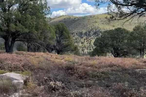
Flowing Springs MT-74
A rocky climb up decomposed red rock with stunning views of the Mogollon Rim. Best traveled in Fall or Spring due to a few creeks that run through the area. This route is best suited to high clearance vehicles and is not stock height friendly. A great half-day drive that will build skills in navigat...
Learn more about Flowing Springs MT-74
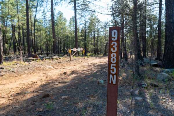
FS 9385N
This trail starts very rocky with long slab rock ledges running across the road, creating an uneven and bumpy surface right from the beginning. After the initial stretch, it transitions into a smoother but still rocky forest road as you pass the parking area for Dickinson Flat, a large open meadow. ...
Learn more about FS 9385N
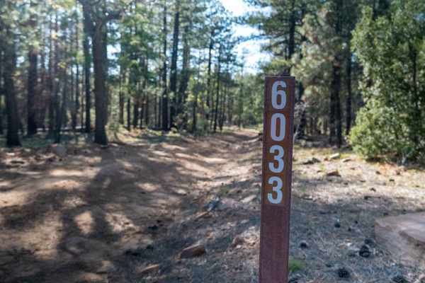
FS 6033
This rocky two-track heads out toward the edge of the rim, starting with sections of exposed rock in the road that are manageable but uneven. About half a mile in, the trail becomes much rockier with larger rocks protruding from the surface, making high clearance necessary. There are a few small led...
Learn more about FS 6033
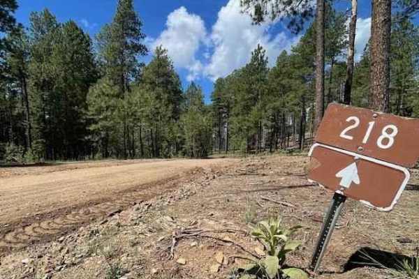
Milk Ranch Point
This trail starts about 3 miles in from where Rim Rd 300 begins off of HWY N 87. The first 6 miles of the trail are on a well-maintained dirt road that is easy to drive on and has enough space for two vehicles. There are some great camping spots with amazing views along the way. After 6 miles, the r...
Learn more about Milk Ranch Point
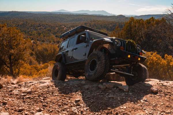
Rocker Knocker
This thrilling trail in Payson, Arizona, takes you through a beautiful, pine tree-lined landscape with breathtaking views of the iconic Mogollon Rim. Designed for adventurous spirits, the route features rugged terrain and challenging obstacles that demand a high-clearance 4x4 vehicle. Along the way,...
Learn more about Rocker Knocker
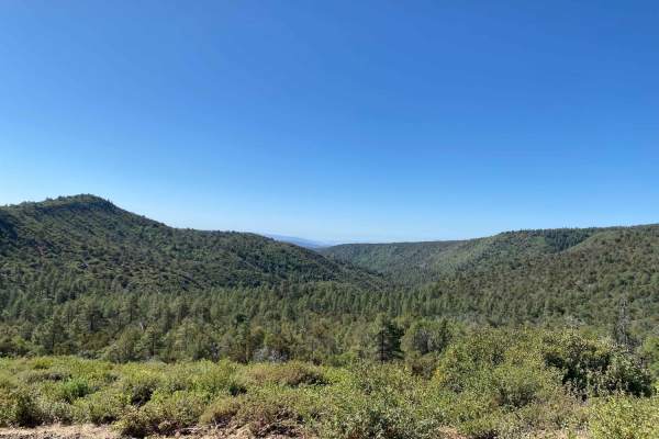
Strawberry to Pine
This dirt trail connects the small mountain towns of Pine and Strawberry. It starts smoothly from Pine but is a series of switchbacks gaining some elevation. There is a popular hiking trail a quarter mile in and some stunning views at the top of the switchbacks overlooking the valley. The trail cont...
Learn more about Strawberry to Pine
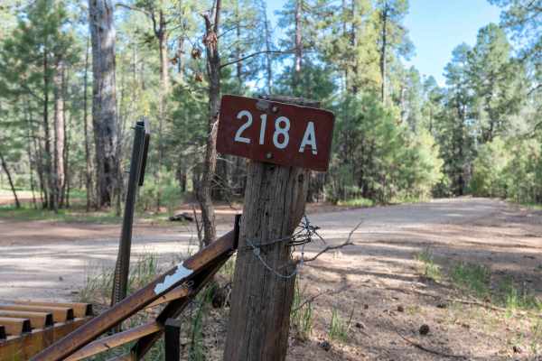
FS 218A
This very easy, graded dirt road winds through the forest as it heads toward Milk Ranch Point. The drive is smooth and straightforward, with a few dispersed camp spots along the main road and larger camp areas located along the spur roads. It’s a relaxed, scenic route that's worth exploring on your ...
Learn more about FS 218A
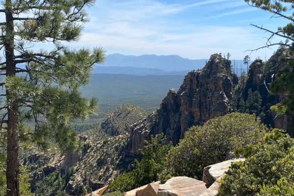
Rim Road West
Epic vistas and endless possibilities! This trail offers little to no technical challenge but makes up for this with some of the most amazing views in the state. This is a great route for beginners and those with 2WD vehicles. Experienced drivers will find adventure here as well by adding in side ro...
Learn more about Rim Road West
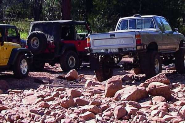
Pyeatt Draw
You can opt out of the most difficult section of this trail by taking the forest road the winds along the wash. An obstacle called "The Filter" causes many drivers to exit at that point. ATVs and UTVs may have a hard time in the wash, but unlicensed vehicles are permitted.
Learn more about Pyeatt Draw
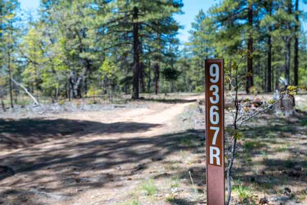
FS 9367R
This trail serves as an entry point from the highway into a network of connecting roads leading up to the rim. The route is mostly an easy dirt two-track winding through a peaceful forest, with a few exposed rocks, ruts, and occasional off-camber washouts to keep things interesting. There are a hand...
Learn more about FS 9367R
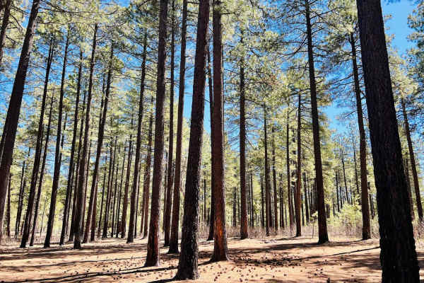
Pivot Rock Canyon
This is a lovely, mostly graded dirt road that connects from Highway 89 over to the Hicks/Duncan Trail. There are a plethora of large open flat campsites to choose from, particularly on either end of the trail. This would be easy access for larger vehicles with trailers and motorhomes. The Pivot Roc...
Learn more about Pivot Rock Canyon
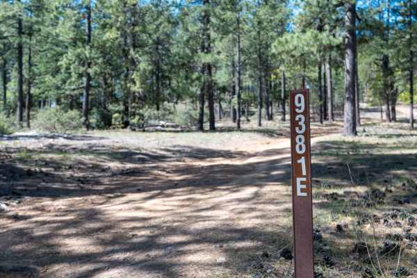
FS 9381E
This road connects 607A and 608 and features a rutted, uneven surface as it gradually climbs in elevation. While generally passable for most high-clearance vehicles, the terrain can be rough in spots. There are several great camp spots along the route with beautiful views over the rim. Expect dips i...
Learn more about FS 9381E
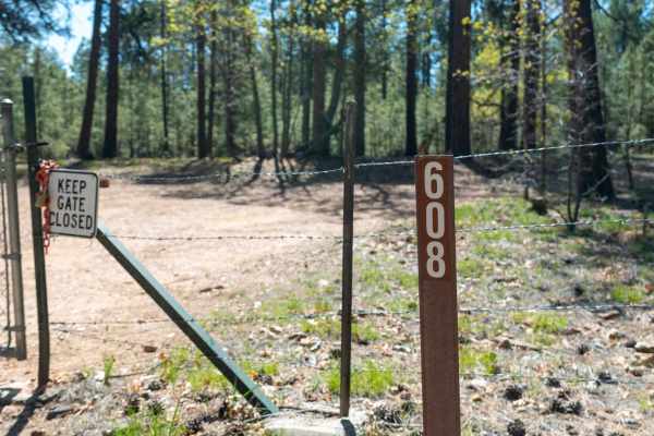
Rock Wall Trail - FS 608
This service road connects to a small network of trails along the rim and is generally easy, though consistently rough. The surface is rutted and rocky, creating a bumpy ride with occasional off-camber sections from washouts. There are many dispersed camp spots throughout the forest, making it a gre...
Learn more about Rock Wall Trail - FS 608
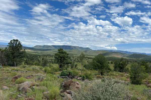
Crackerjack Mesa- FS 209
This track starts by crossing the East Verde River. Use caution when crossing even though there is a concrete pad at the crossing, currents can become dangerous after summer monsoon storms and spring snowmelt making this trail inaccessible. Travel is not advised during winter months as snow will obs...
Learn more about Crackerjack Mesa- FS 209
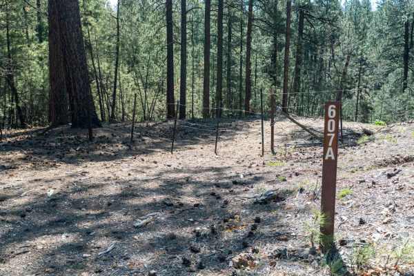
FS 607A
This trail starts by dropping down an embankment through the forest before leveling out and winding its way toward the edge of the Mogollon Rim. It then begins climbing again, with the road cut into the side of the hillside as it works back up in elevation. There are a few dispersed camp spots along...
Learn more about FS 607A
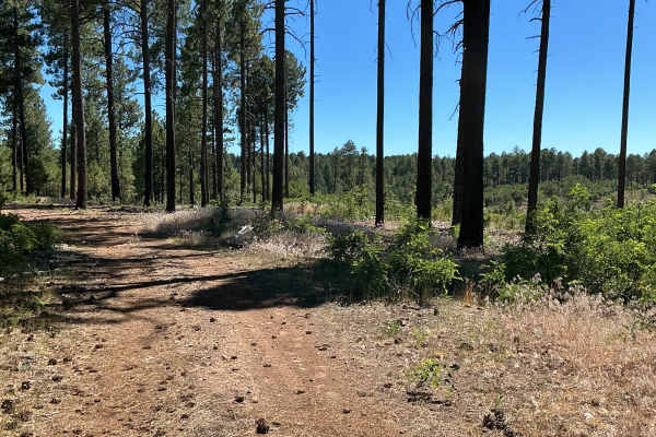
FS 9387B
FS 9387B is just shy of one mile long and was mapped from south to north. This short route begins off Highway 260. Please be sure to open and close the fence gate at the start of the trail. The route begins with a few rutted sections as it loops around a small hill. As you make your way around the h...
Learn more about FS 9387B
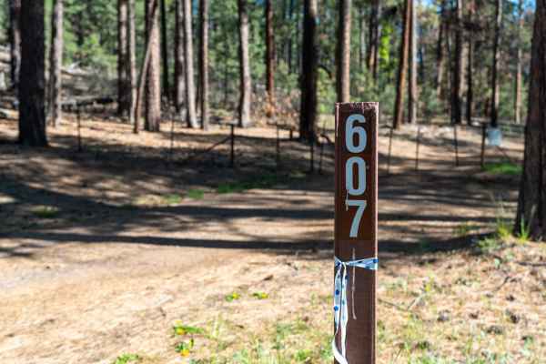
FS 607
This trail starts a bit rutted and rocky, but quickly smooths out into a fairly easy dirt road as it winds through the forest. There are several nice dispersed camp spots along the way, making it a good option for a quiet overnight stay. The road eventually dead-ends at a more overgrown campsite tha...
Learn more about FS 607
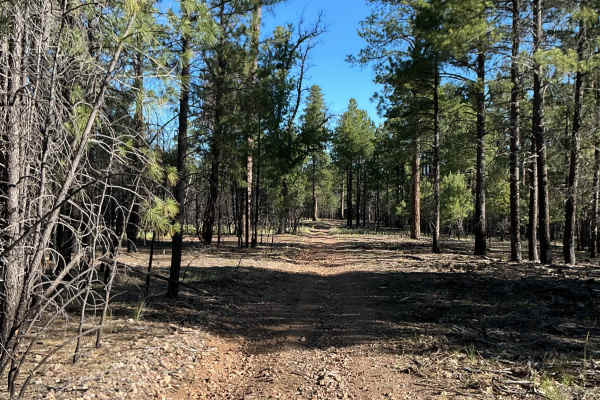
FS 9386H
Forest Service Road 9386H is just over one mile long and was mapped from south to north. The beginning of the trail is very easy-going as it winds through the ponderosa pines. Several areas along the route have scattered loose rocks across the trail surface. There are also a few sections that appear...
Learn more about FS 9386H
ATV trails near Geronimo Estates, Arizona
Explore ATV-friendly trails near you. These trails are accessible for vehicles up to 50 inches wide, perfect for ATVs and smaller off-road machines.
Cedar Mesa - FS 322
This rocky dirt road begins with a climb right out of the gate, featuring some washouts and uneven terrain early on. As you continue, the route gains and loses elevation frequently, with several steep climbs up small hilltops. There are a few great dispersed camp spots along the way offering fantast...
Learn more about Cedar Mesa - FS 322
FS 9382L
This trail starts very rutted, creating an uneven and bumpy ride right from the beginning. As you continue, the road smooths out in sections but still winds through tighter tree corridors that can feel narrow in places. Overall, it remains an easy drive as it works its way through a beautiful Ponder...
Learn more about FS 9382L
Flowing Springs MT-74
A rocky climb up decomposed red rock with stunning views of the Mogollon Rim. Best traveled in Fall or Spring due to a few creeks that run through the area. This route is best suited to high clearance vehicles and is not stock height friendly. A great half-day drive that will build skills in navigat...
Learn more about Flowing Springs MT-74
FS 9385N
This trail starts very rocky with long slab rock ledges running across the road, creating an uneven and bumpy surface right from the beginning. After the initial stretch, it transitions into a smoother but still rocky forest road as you pass the parking area for Dickinson Flat, a large open meadow. ...
Learn more about FS 9385N
UTV/side-by-side trails near Geronimo Estates, Arizona
Find UTV and side-by-side trails near you. These trails accommodate vehicles up to 60 inches wide, ideal for UTVs, side-by-sides, and wider off-road rigs.
Cedar Mesa - FS 322
This rocky dirt road begins with a climb right out of the gate, featuring some washouts and uneven terrain early on. As you continue, the route gains and loses elevation frequently, with several steep climbs up small hilltops. There are a few great dispersed camp spots along the way offering fantast...
Learn more about Cedar Mesa - FS 322
FS 9382L
This trail starts very rutted, creating an uneven and bumpy ride right from the beginning. As you continue, the road smooths out in sections but still winds through tighter tree corridors that can feel narrow in places. Overall, it remains an easy drive as it works its way through a beautiful Ponder...
Learn more about FS 9382L
Flowing Springs MT-74
A rocky climb up decomposed red rock with stunning views of the Mogollon Rim. Best traveled in Fall or Spring due to a few creeks that run through the area. This route is best suited to high clearance vehicles and is not stock height friendly. A great half-day drive that will build skills in navigat...
Learn more about Flowing Springs MT-74
FS 9385N
This trail starts very rocky with long slab rock ledges running across the road, creating an uneven and bumpy surface right from the beginning. After the initial stretch, it transitions into a smoother but still rocky forest road as you pass the parking area for Dickinson Flat, a large open meadow. ...
Learn more about FS 9385N
The onX Offroad Difference
onX Offroad combines trail photos, descriptions, difficulty ratings, width restrictions, seasonality, and more in a user-friendly interface. Available on all devices, with offline access and full compatibility with CarPlay and Android Auto. Discover what you're missing today!
Open Trail Map