Trail Overview
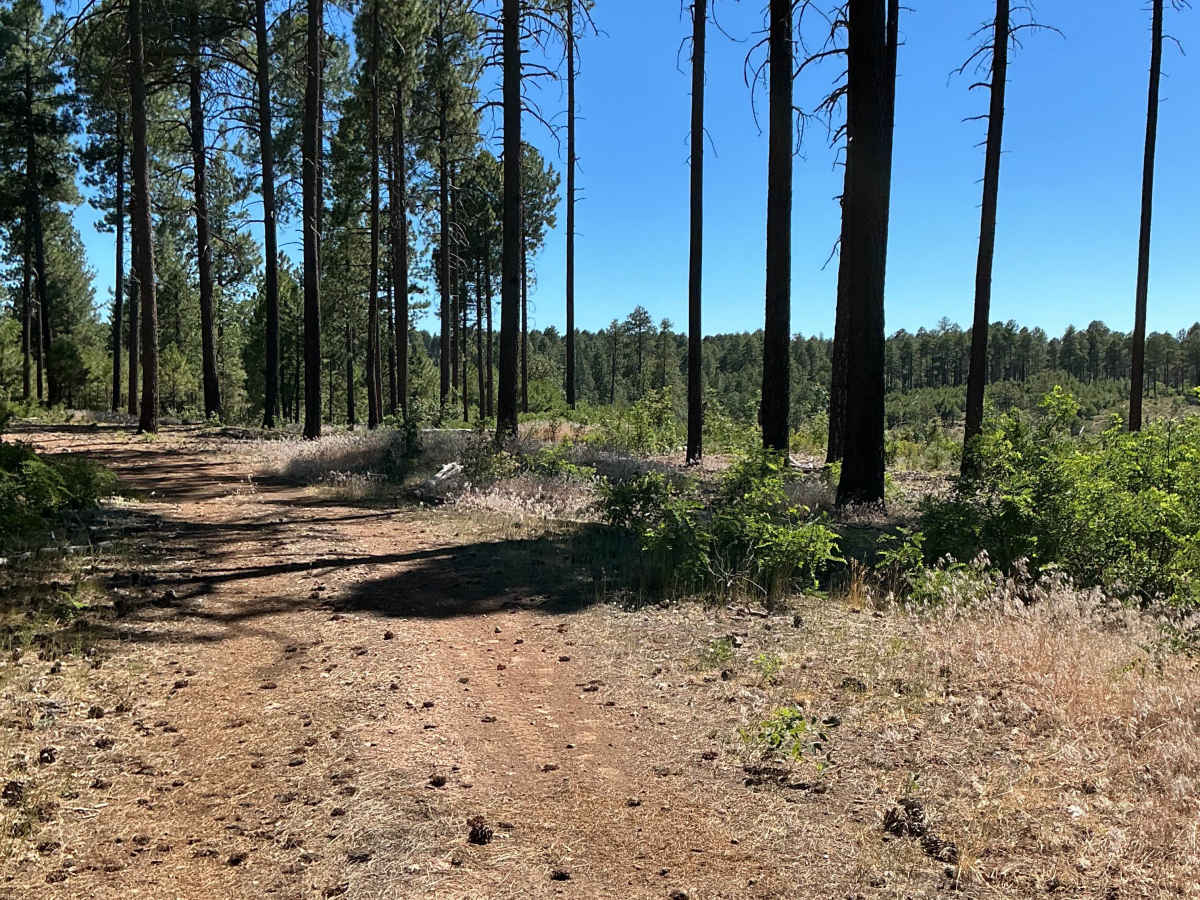
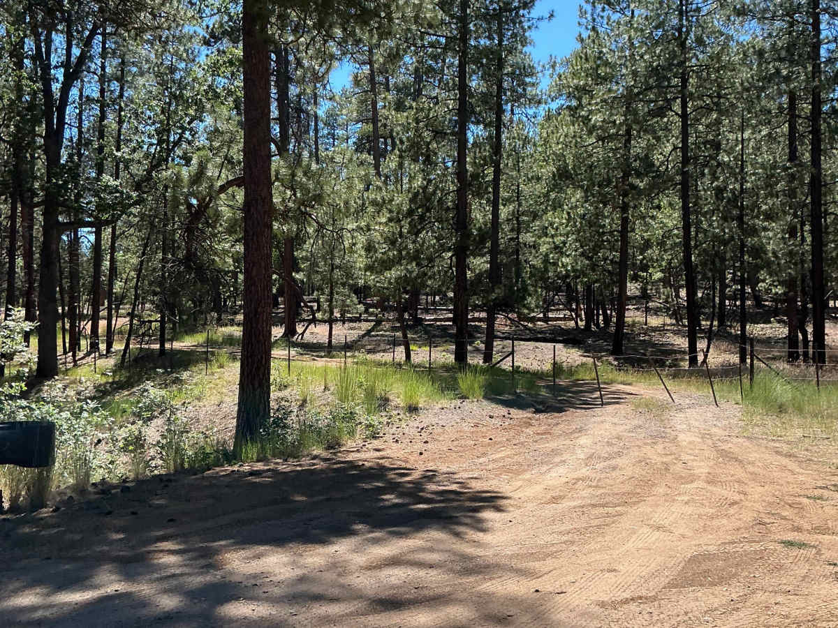
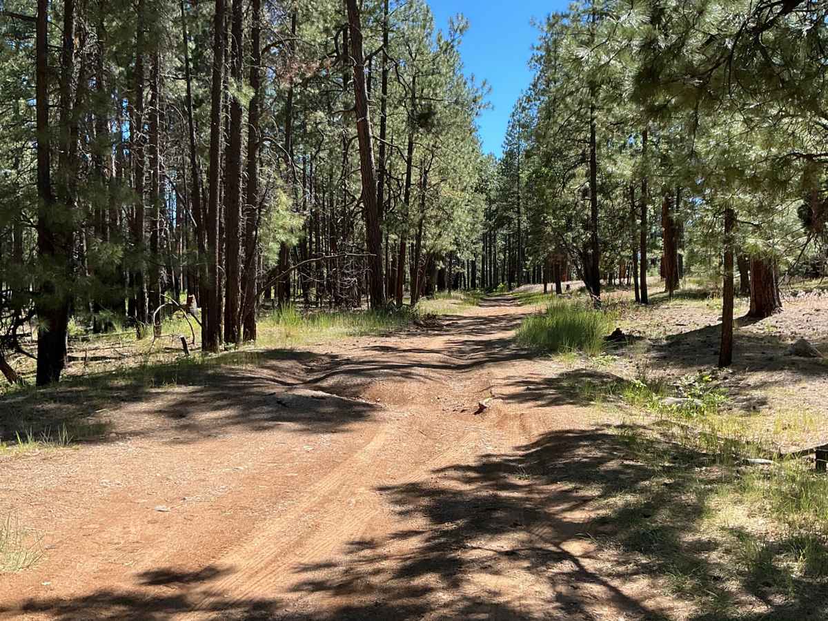
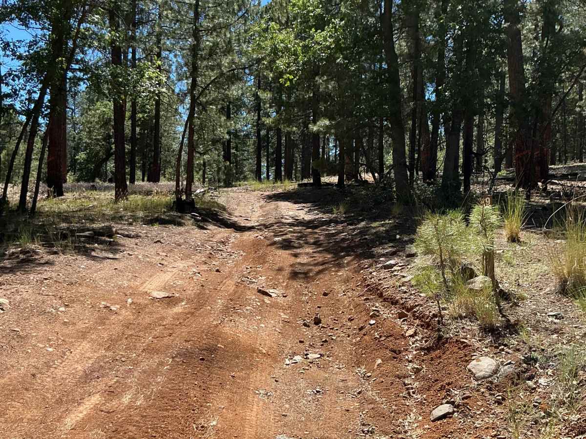
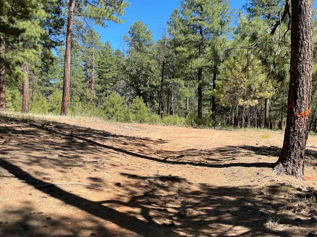
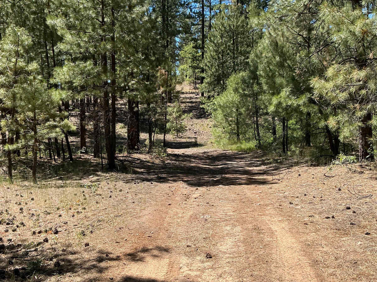
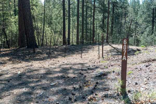
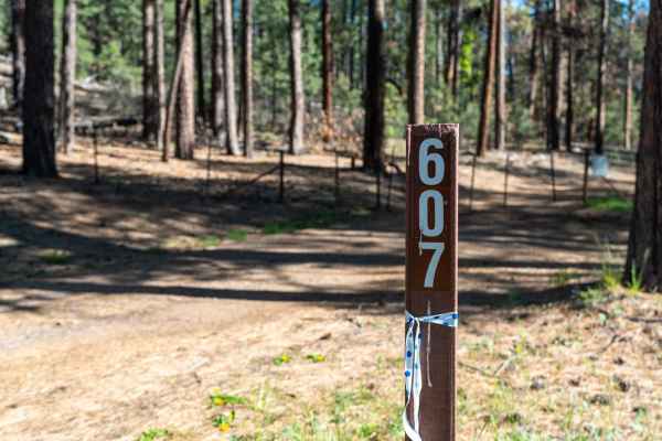
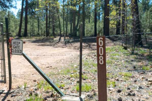
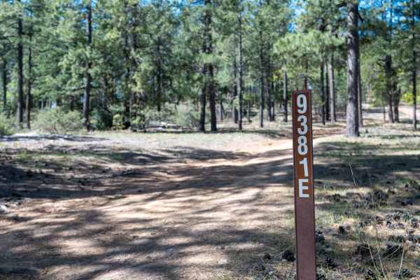
FS 9387B is just shy of one mile long and was mapped from south to north. This short route begins off Highway 260. Please be sure to open and close the fence gate at the start of the trail. The route begins with a few rutted sections as it loops around a small hill. As you make your way around the hill, the trail opens up to the west, offering excellent views across the canyon. Continuing along the hillside, you'll encounter several low-lying areas that are prone to becoming muddy after moderate to heavy rainfall. The trail ends at the designated endpoint shown on the Motor Vehicle Use Map for the Coconino National Forest.
Difficulty
Expect an uneven, rutted dirt trail with scattered loose rocks. This route has the potential for muddy conditions after rainfall, with trail obstacles up to 12 inches in height.