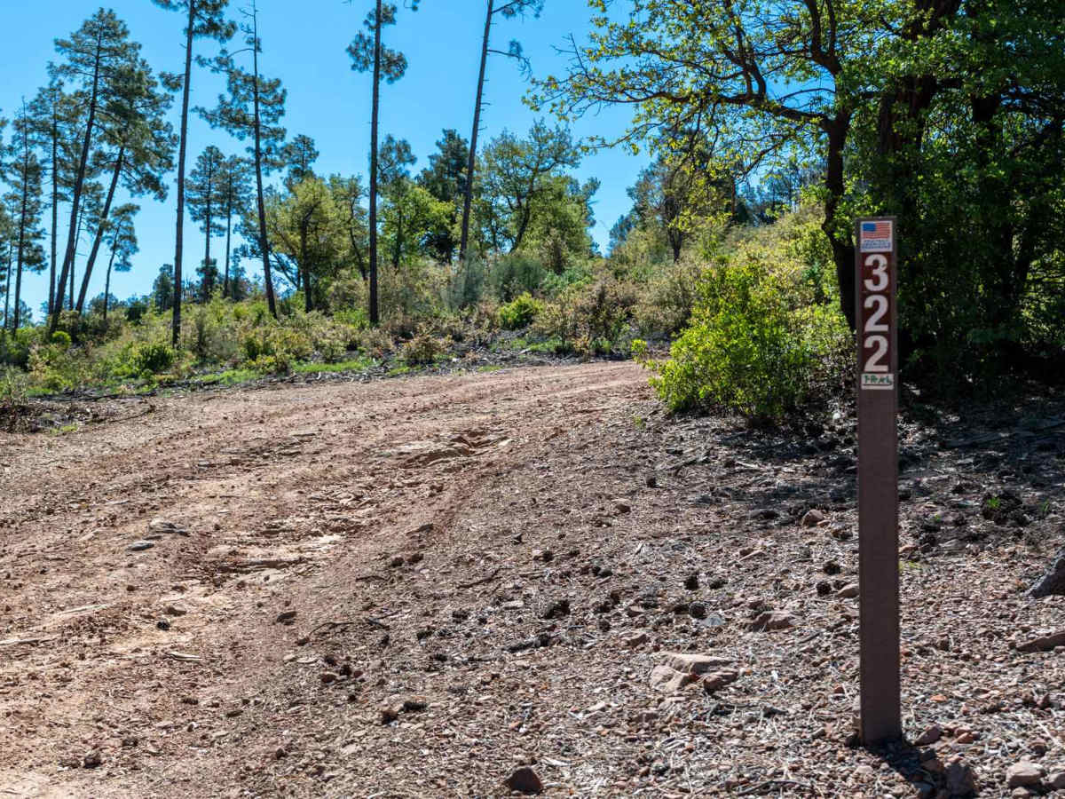
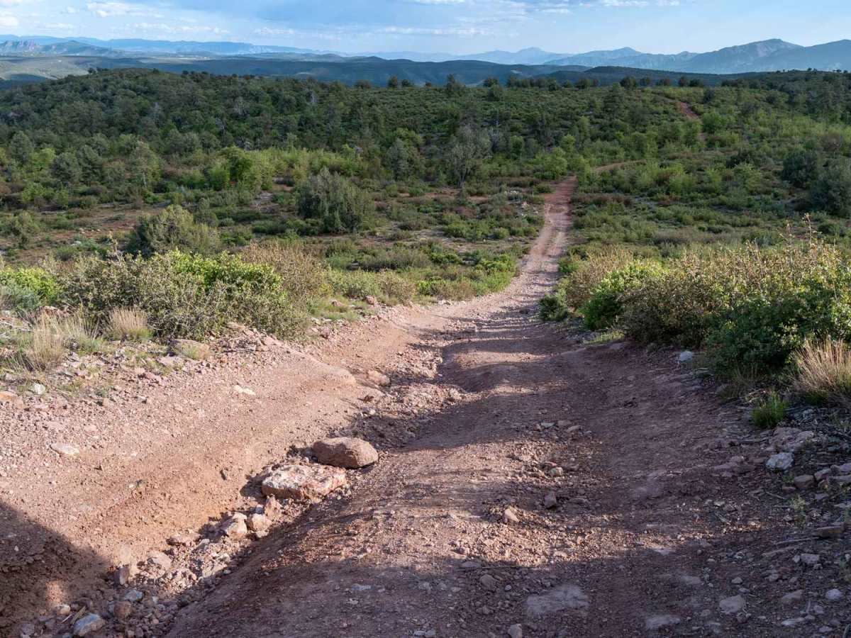
Trail Overview
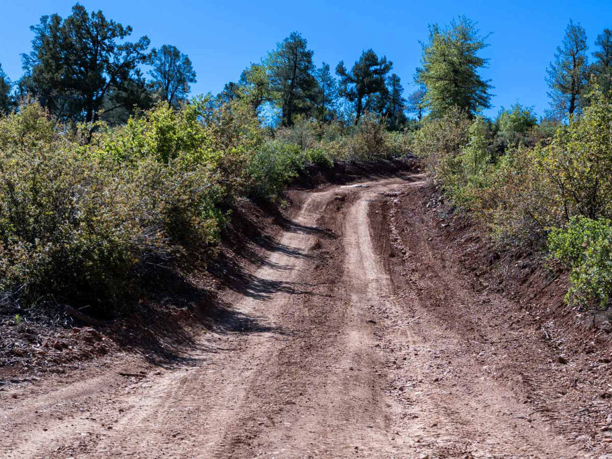
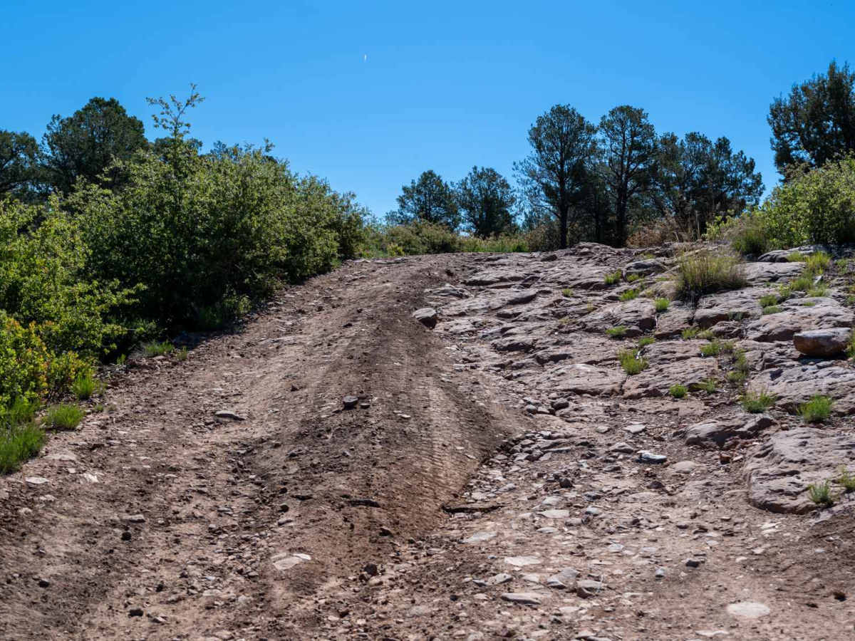
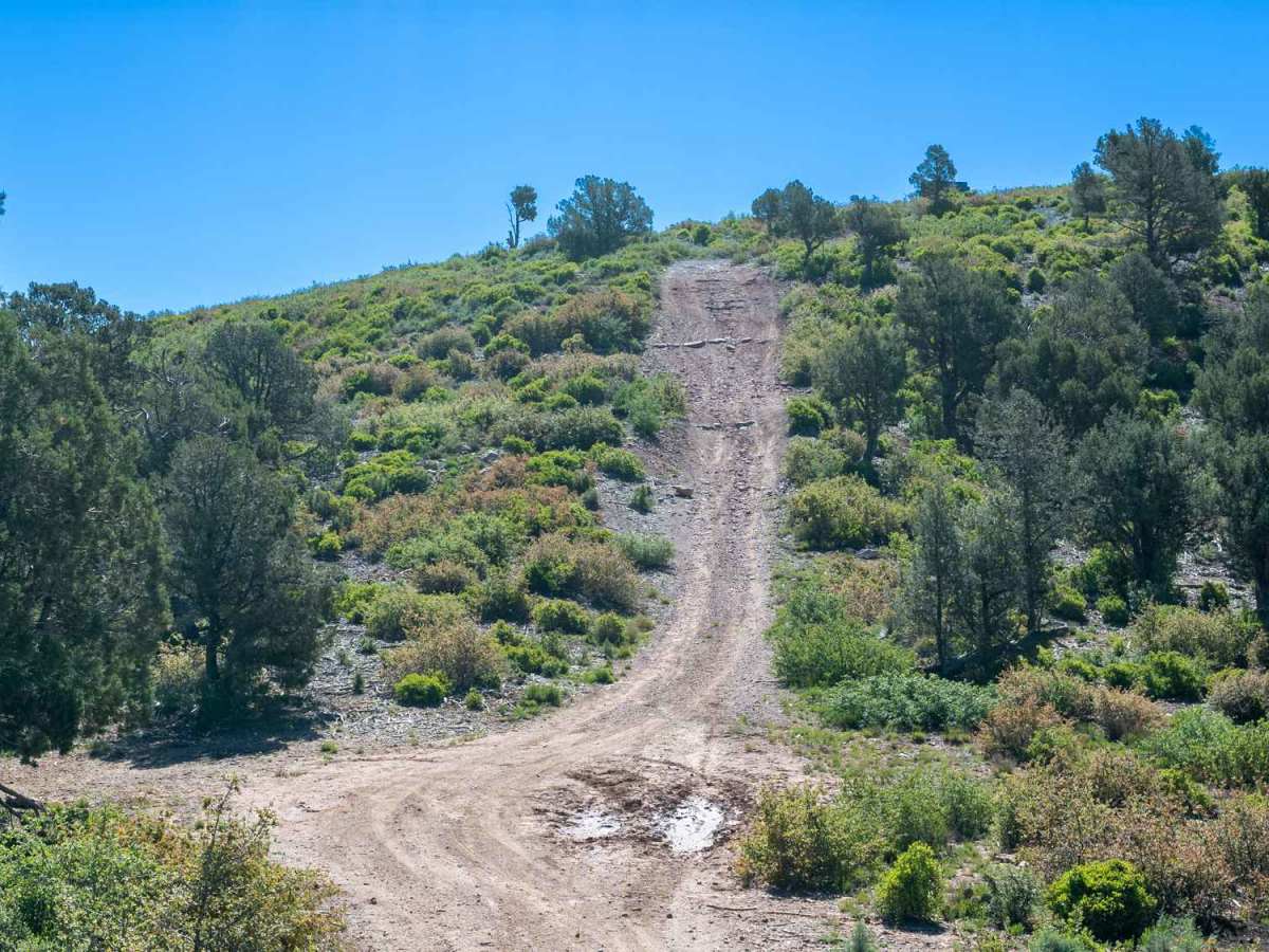
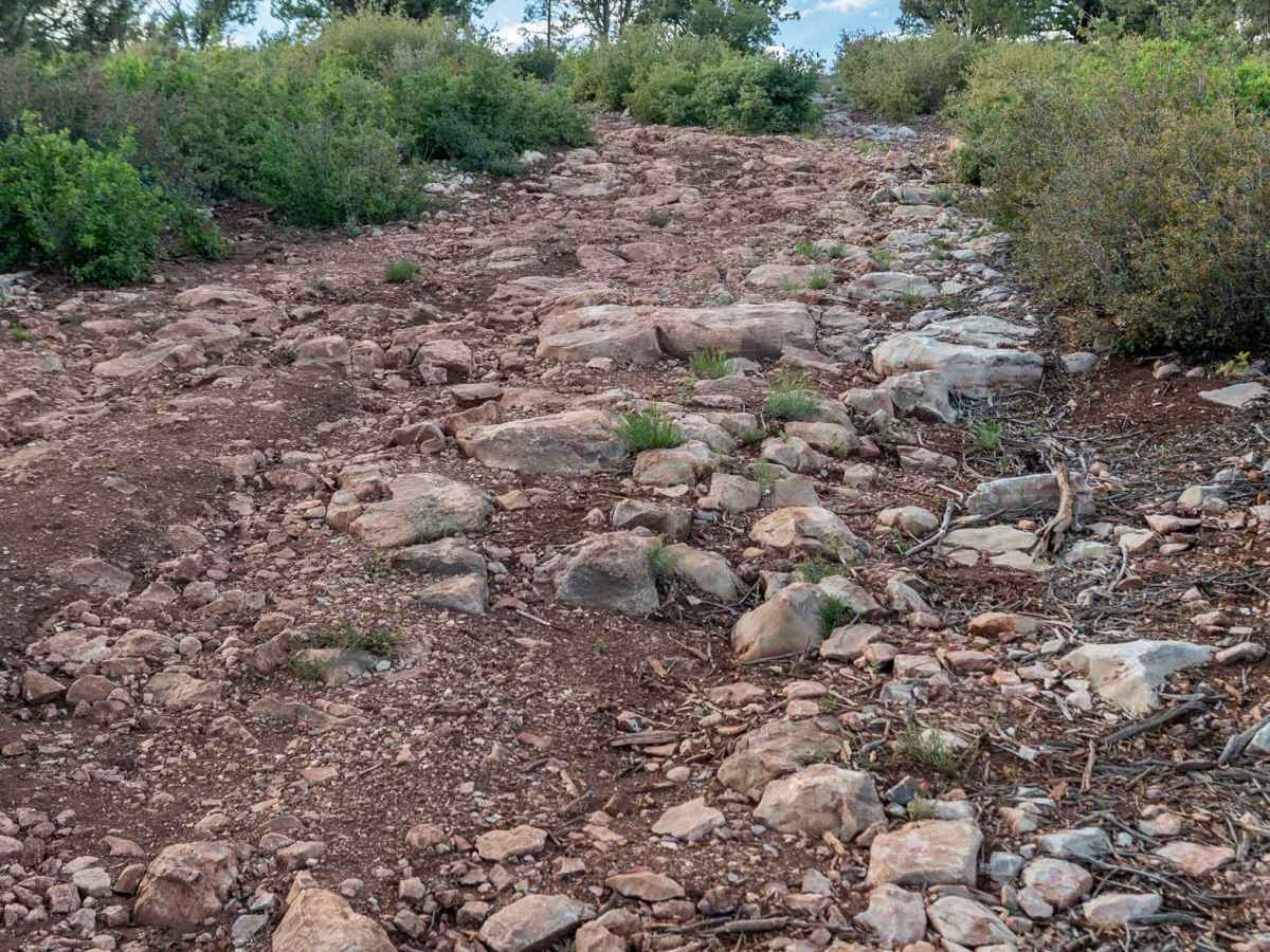
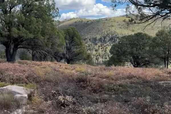
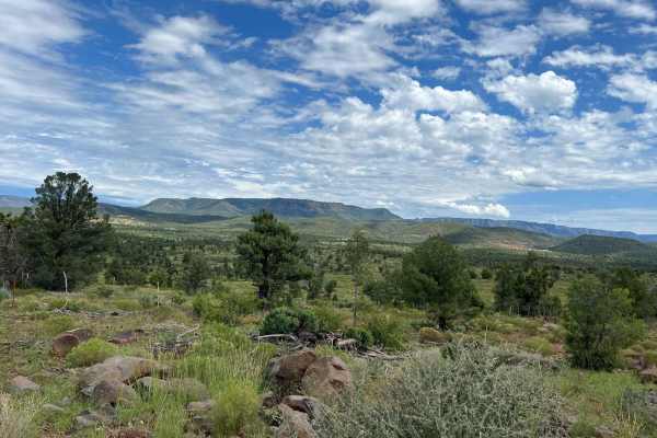
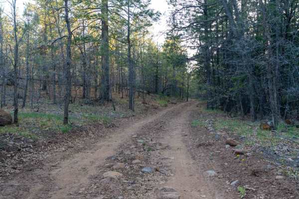
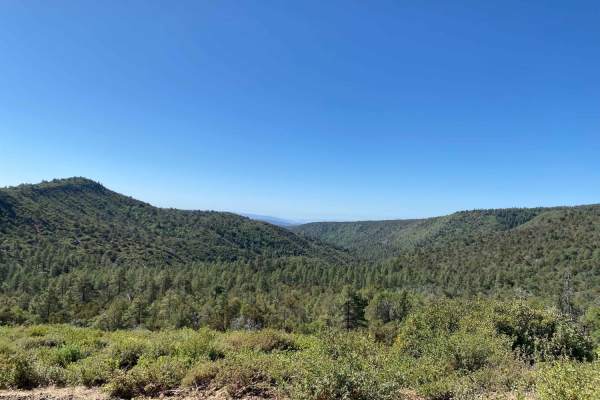
This rocky dirt road begins with a climb right out of the gate, featuring some washouts and uneven terrain early on. As you continue, the route gains and loses elevation frequently, with several steep climbs up small hilltops. There are a few great dispersed camp spots along the way offering fantastic views of the Mogollon Rim, Payson, and the surrounding canyons. Certain sections become very rocky with ledges and shelves where high clearance is necessary, and deep ruts with drive-arounds suggest the trail can become much more difficult when wet, so dry conditions are recommended. Be sure to stay left at the fork and follow trail signage. Midway through, a short shelf road leads out to a grassy field often filled with grazing cattle before the trail continues. The route eventually fizzles out on the mesa. Despite the rough sections, the views along the entire trail make it a rewarding drive.
Difficulty
This trail is rated 3/10 due to the rocky surface, steep climbs, and occasional ledges that require careful tire placement. While not extreme, high clearance is recommended, and drivers should be comfortable navigating uneven terrain and short technical sections, especially in dry conditions.