
Dirt Bike Trails
Near Garland, Utah
Explore All Dirt Bike Trails Near Garland, Utah
Dirt Bike Trails Near Garland, Utah
Discover the best dirt bike trails near you. Browse trail maps, check difficulty ratings, and find your next adventure — whether you're looking for a quick ride or an all-day expedition.
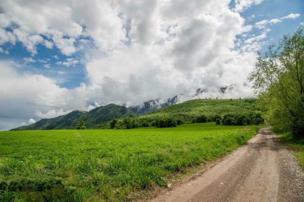
Maple Bench Road
Maple Bench Road is a scenic mountain route ideal for stock four-wheel-drive vehicles, SxSs, and OHVs looking to explore the lower slopes of the Wellsville Mountains near Mendon, Utah. The trail climbs from an elevation of approximately 4,560 feet near the valley floor up to 5,990 feet, offering spe...
Learn more about Maple Bench Road
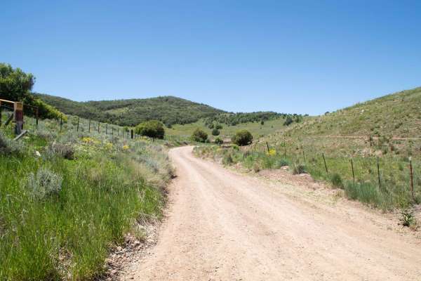
Old Canyon Road
This is a short route that takes you from Mount Pisgah Road over to the top of the old road that used to be Sardine Canyon. This is a short but scenic pass that has a few pullouts where you can park and enjoy the views. There are no major obstacles on this road, and it is a county road through priva...
Learn more about Old Canyon Road

Mount Logan Millville Canyon
This is a scenic and narrow canyon that climbs from the base in Cache Valley to the radio tower at the top of Logan Peak.
Learn more about Mount Logan Millville Canyon
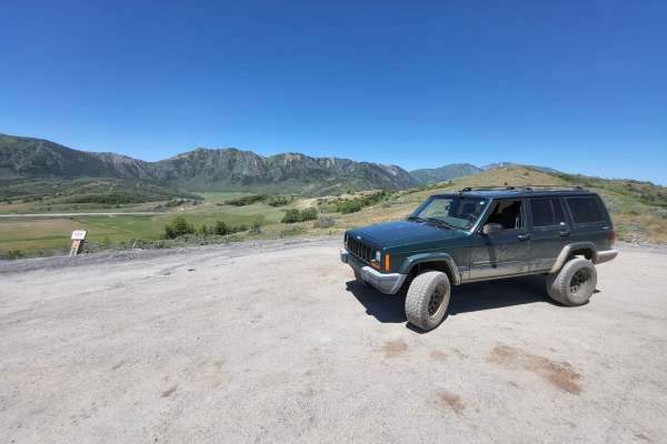
Mount Pisgah Road
This 6-mile-long county road is a scenic route between the UDOT storage shed on US Highway 89 to Paradise, Utah. This route is open April 15th to November 15th if conditions allow, and is a graded gravel road but gets a little bit rutted and rough on the Highway 89 side. This trail is highly scenic,...
Learn more about Mount Pisgah Road
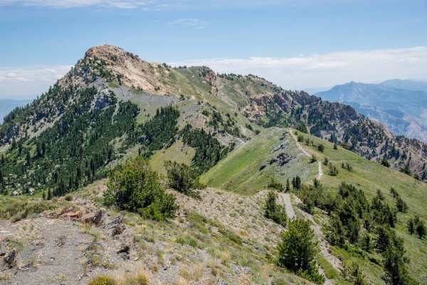
Inspiration Point
This is an awesome drive. You will need a high clearance vehicle due to rocks, but 4x4 is not necessary. This road gets very tight and very high and if you aren't experienced in off-road driving, or if serious heights worry you, this probably is not the road for you. If you are ok with that then thi...
Learn more about Inspiration Point
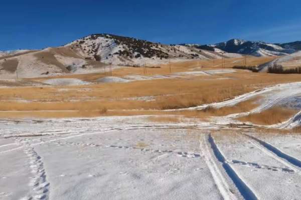
Hyde Park Mine
Just north of the town of Logan is Hyde Park. There are little trails over this hill. From big hill climbs to just easy trails. You can expect to see deer in this area. If you happen to find a mine you can climb down in if you dare.
Learn more about Hyde Park Mine
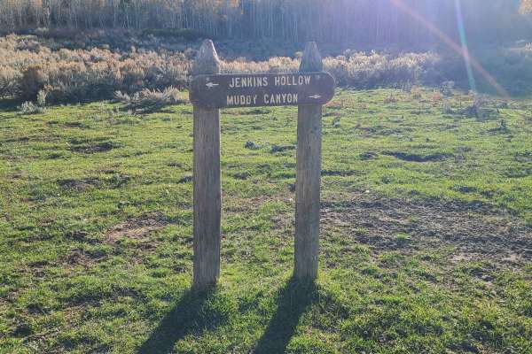
Jenkin's Hollow
Jenkin's Hollow is a fun 50" ATV trail in the Malad range just west of Weston, ID. You can access the trail on the north from Dry Canyon campground. On the south side, you can access from Black Canyon Road. This trail connects Black Canyon to Dry Canyon.
Even though the map shows this as a road for...
Learn more about Jenkin's Hollow
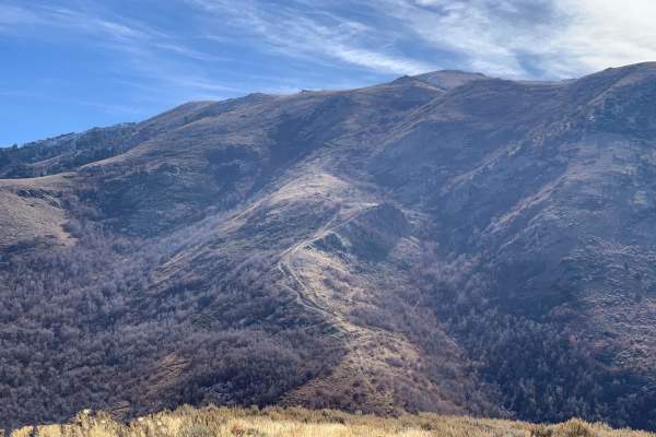
Dunns Canyon
Dunns Canyon is a really cool ride located just outside of Brigham City, Utah. It gives great views of the Great Salt Lake and the Wellsville Mountains. This trail climbs to Perry Peak and to an old ranch cabin, now called Old Pete's Cabin, which is above the town of Mantua. This trail is accessed f...
Learn more about Dunns Canyon
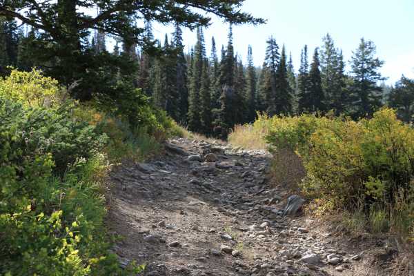
Inspiration Point - FS 20126
With a name like Inspiration Point, this trail begs to be explored. The trail itself is not especially long, but it is also not especially easy. Expect a very narrow trail with several off-camber sections, steep climbs, awkward corners, and rock gardens filled with large rocks. The way to Inspiratio...
Learn more about Inspiration Point - FS 20126
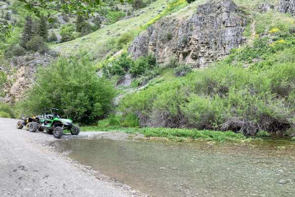
Left Hand Fork Trail
Left Hand Fork Trail is a scenic but demanding 11.9-mile point-to-point route in the Bear River Range of northern Utah, offering a mix of family-friendly cruising and highly technical obstacles for experienced offroaders. Located off Blacksmith Fork Canyon near Hyrum and Hardware Ranch, the trail be...
Learn more about Left Hand Fork Trail
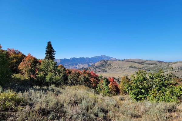
Three Mile Canyon Trail
This is a small hunting trail that cuts through the mountains to Avon Pass. It's very narrow in several spots, which makes passing other vehicles near impossible. It's mainly used by 4-wheelers and hunters. The trail is only open from July 15th to November 15th. It goes through private land, so if y...
Learn more about Three Mile Canyon Trail
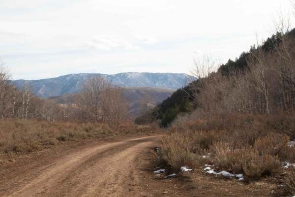
Three Mile Canyon
This is an easy trail that starts from Liberty Avon Road and goes to Three Mile Canyon Trail. This road is closed for the winter on November 15th and opens on June 15th but may have a delayed opening depending on when they open Liberty Avon Road. This trail is one vehicle wide with pullouts to pass....
Learn more about Three Mile Canyon
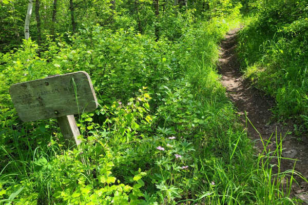
Card Canyon West
Card Canyon trail connects Logan Canyon to Forest Service Road 052. The trail is challenging to go up as there are a few significant obstacles to get up. There are a couple of roots that have large step-ups. Then the trail goes into a part of the creek with a steep climb. There are large rock obstac...
Learn more about Card Canyon West
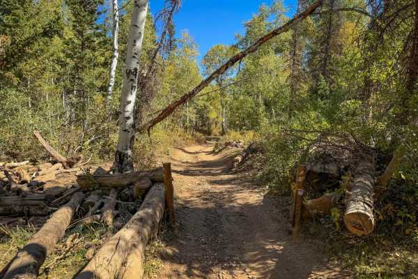
Public Grove ATV Trail
The Public Grove ATV Trail inside of Cache National Forest is a perfect short ride for dirt bikes and ATVs 50" wide or less. Accessible from either the Liberty-Avon Road or the Inspiration Point trail, it offers a fun and scenic adventure.
Learn more about Public Grove ATV Trail
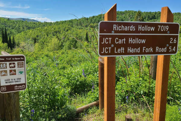
Richard's Hollow
Richard's Hollow is a popular and fun trail taking you from Left Hand Fork canyon up to Forest Service Road 052. Or you can take the Richard's Hollow Elbow to a higher point on the road where it meets the road to Logan Peak. The lower part of the trail has a lot of foot and bike traffic be alert for...
Learn more about Richard's Hollow
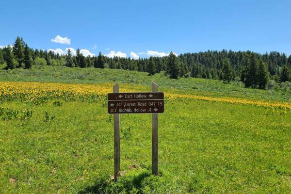
Cart Hollow
Connecting Herd Hollow Road to Richard's Hollow is Cart Hollow. It's a slightly easier way to connect with upper Richard's Hollow and has less traffic than lower Richard's Hollow. Going up the trail from Herd Hollow Road, the trail starts off with some rocks, and has a fairly steep climb about a mil...
Learn more about Cart Hollow
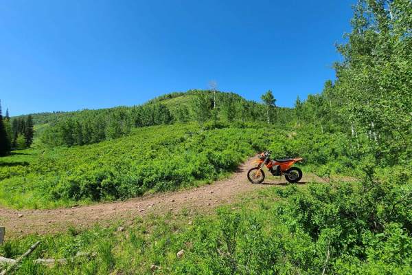
Richard's Elbow
Richard's Elbow is the longer continuation of Richard's Hollow. It takes you higher on the FS road 052 where it intersects with the road to Mt. Logan. The upper section of this trail follows the creek for a period and can be muddy in spots in the spring time. In early spring, this part of the trail ...
Learn more about Richard's Elbow
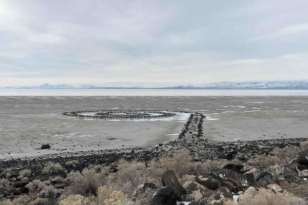
Spiral Jetty Lookout
Take this route from the Golden Spike Auto Tour Trail, and it will lead you to the Spiral Jetty. Not much of a challenge, but a great afternoon cruise with some great views of the surrounding mountains and the Great Salt Lake. There is a visitor center on the way, but this is a remote trail. Cell Se...
Learn more about Spiral Jetty Lookout
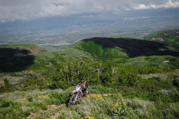
Old Baldy Connector 7438
This is a 50" trail starting off Lower Fivemile Road. It goes past a beautiful small lake, then comes to an intersection with Weston 7451 and you stay right for this trail. It's mostly two-track width and made up of many steep loose rocky climbs, and it's very dusty. It's a bumpy, rocky trail the wh...
Learn more about Old Baldy Connector 7438
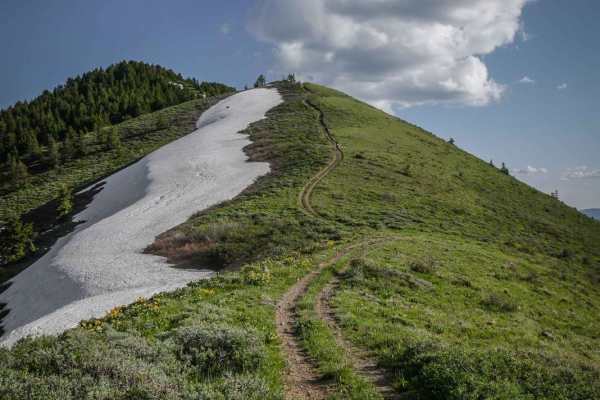
East Slope of Old Baldy Peak
This is a really fun single track with fantastic views overlooking the mountains near Preston, Idaho. It's a ridgeline trail over several rolling green mountains. The south end of the trail starts on a really steep and rocky hill climb up to the summit of the first mountain, with a steep decline bac...
Learn more about East Slope of Old Baldy Peak
ATV trails near Garland, Utah
Explore ATV-friendly trails near you. These trails are accessible for vehicles up to 50 inches wide, perfect for ATVs and smaller off-road machines.
Maple Bench Road
Maple Bench Road is a scenic mountain route ideal for stock four-wheel-drive vehicles, SxSs, and OHVs looking to explore the lower slopes of the Wellsville Mountains near Mendon, Utah. The trail climbs from an elevation of approximately 4,560 feet near the valley floor up to 5,990 feet, offering spe...
Learn more about Maple Bench Road
Old Canyon Road
This is a short route that takes you from Mount Pisgah Road over to the top of the old road that used to be Sardine Canyon. This is a short but scenic pass that has a few pullouts where you can park and enjoy the views. There are no major obstacles on this road, and it is a county road through priva...
Learn more about Old Canyon Road
Mount Logan Millville Canyon
This is a scenic and narrow canyon that climbs from the base in Cache Valley to the radio tower at the top of Logan Peak.
Learn more about Mount Logan Millville Canyon
Mount Pisgah Road
This 6-mile-long county road is a scenic route between the UDOT storage shed on US Highway 89 to Paradise, Utah. This route is open April 15th to November 15th if conditions allow, and is a graded gravel road but gets a little bit rutted and rough on the Highway 89 side. This trail is highly scenic,...
Learn more about Mount Pisgah Road
UTV/side-by-side trails near Garland, Utah
Find UTV and side-by-side trails near you. These trails accommodate vehicles up to 60 inches wide, ideal for UTVs, side-by-sides, and wider off-road rigs.
Maple Bench Road
Maple Bench Road is a scenic mountain route ideal for stock four-wheel-drive vehicles, SxSs, and OHVs looking to explore the lower slopes of the Wellsville Mountains near Mendon, Utah. The trail climbs from an elevation of approximately 4,560 feet near the valley floor up to 5,990 feet, offering spe...
Learn more about Maple Bench Road
Old Canyon Road
This is a short route that takes you from Mount Pisgah Road over to the top of the old road that used to be Sardine Canyon. This is a short but scenic pass that has a few pullouts where you can park and enjoy the views. There are no major obstacles on this road, and it is a county road through priva...
Learn more about Old Canyon Road
Mount Logan Millville Canyon
This is a scenic and narrow canyon that climbs from the base in Cache Valley to the radio tower at the top of Logan Peak.
Learn more about Mount Logan Millville Canyon
Mount Pisgah Road
This 6-mile-long county road is a scenic route between the UDOT storage shed on US Highway 89 to Paradise, Utah. This route is open April 15th to November 15th if conditions allow, and is a graded gravel road but gets a little bit rutted and rough on the Highway 89 side. This trail is highly scenic,...
Learn more about Mount Pisgah Road
The onX Offroad Difference
onX Offroad combines trail photos, descriptions, difficulty ratings, width restrictions, seasonality, and more in a user-friendly interface. Available on all devices, with offline access and full compatibility with CarPlay and Android Auto. Discover what you're missing today!
Open Trail Map