Trail Overview
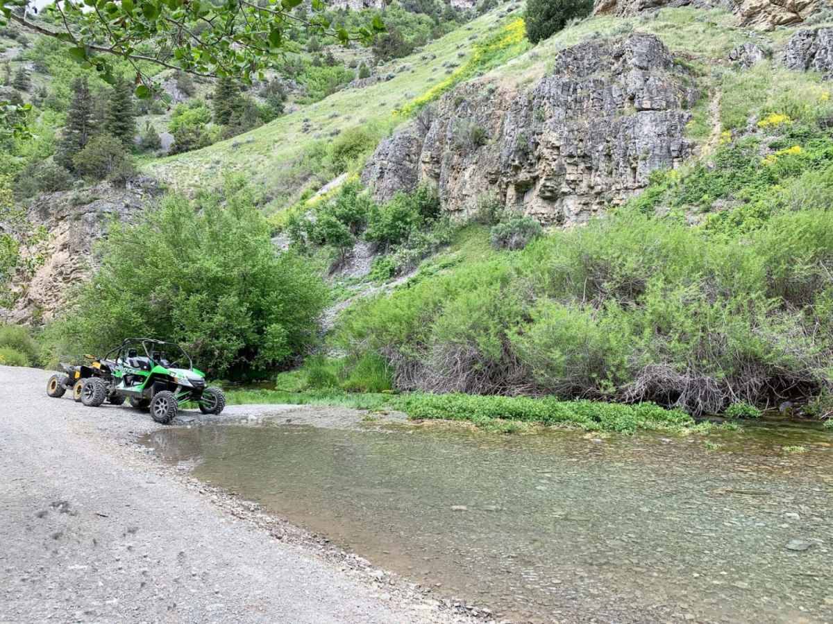
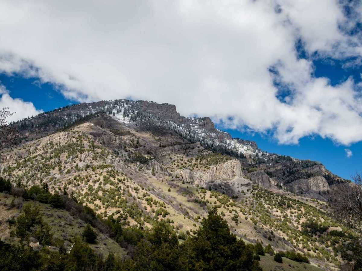
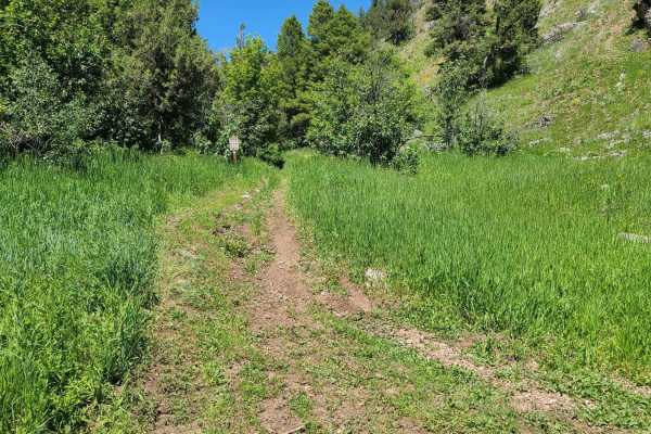
Left Hand Fork Trail is a scenic but demanding 11.9-mile point-to-point route in the Bear River Range of northern Utah, offering a mix of family-friendly cruising and highly technical obstacles for experienced offroaders. Located off Blacksmith Fork Canyon near Hyrum and Hardware Ranch, the trail begins at an elevation of 5,126 feet and climbs steadily up to 6,369 feet with a cumulative elevation gain of approximately 1,260 feet. The first five miles of the route are relatively smooth, graded, and accessible to standard passenger cars, providing an easy drive through a narrow canyon alongside the river. However, as the trail pushes deeper into the Bear River Range, the terrain transitions dramatically into a technical testing ground, earning its rating of 7 out of 10.
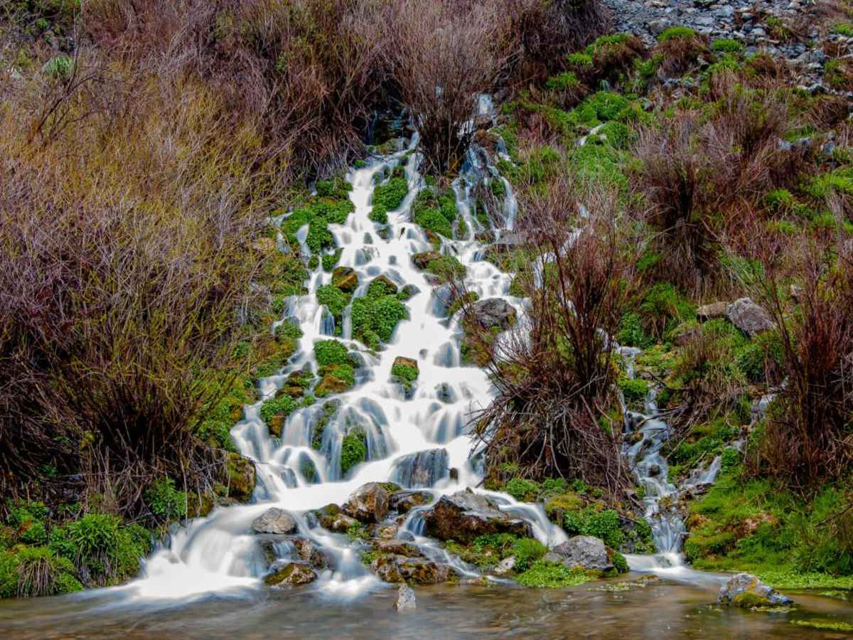
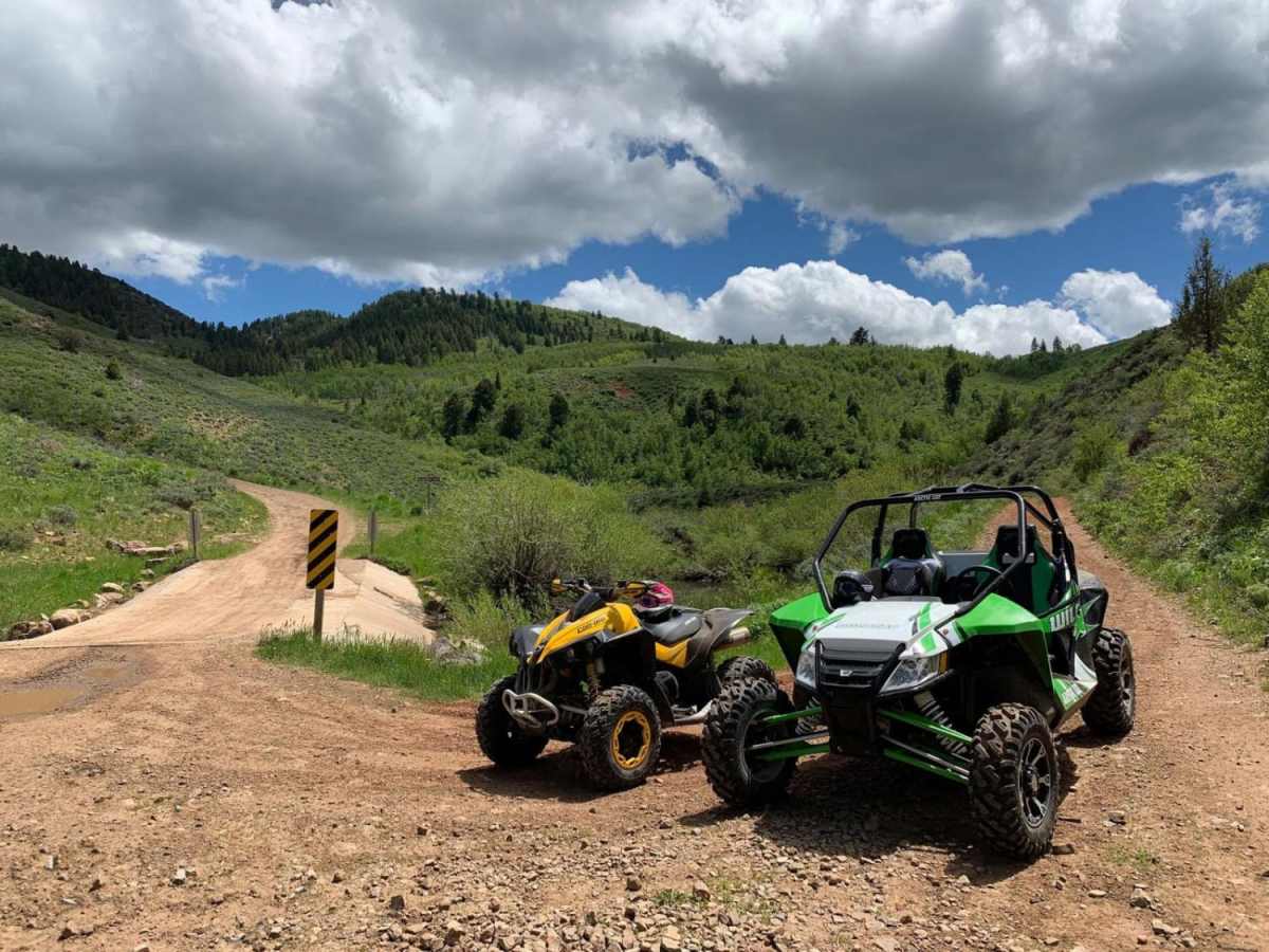
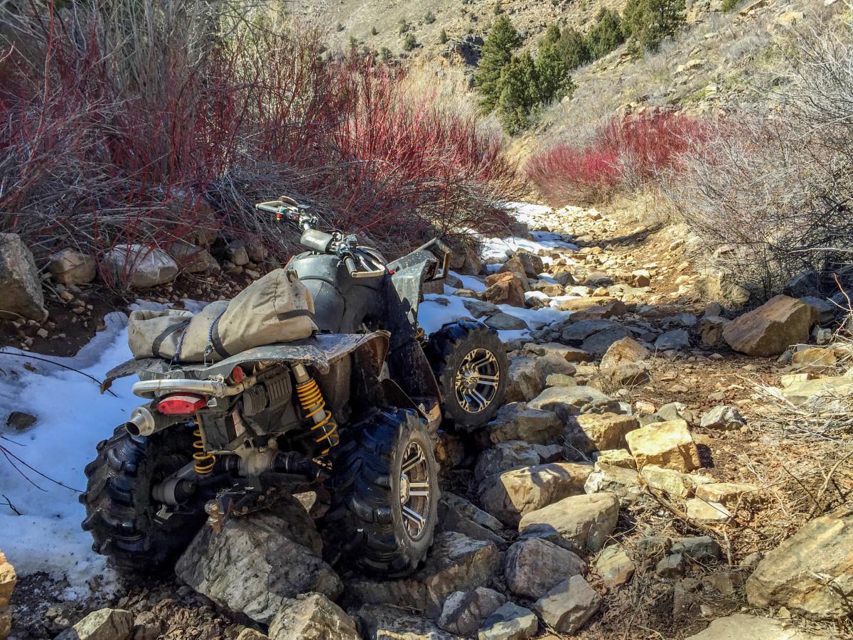
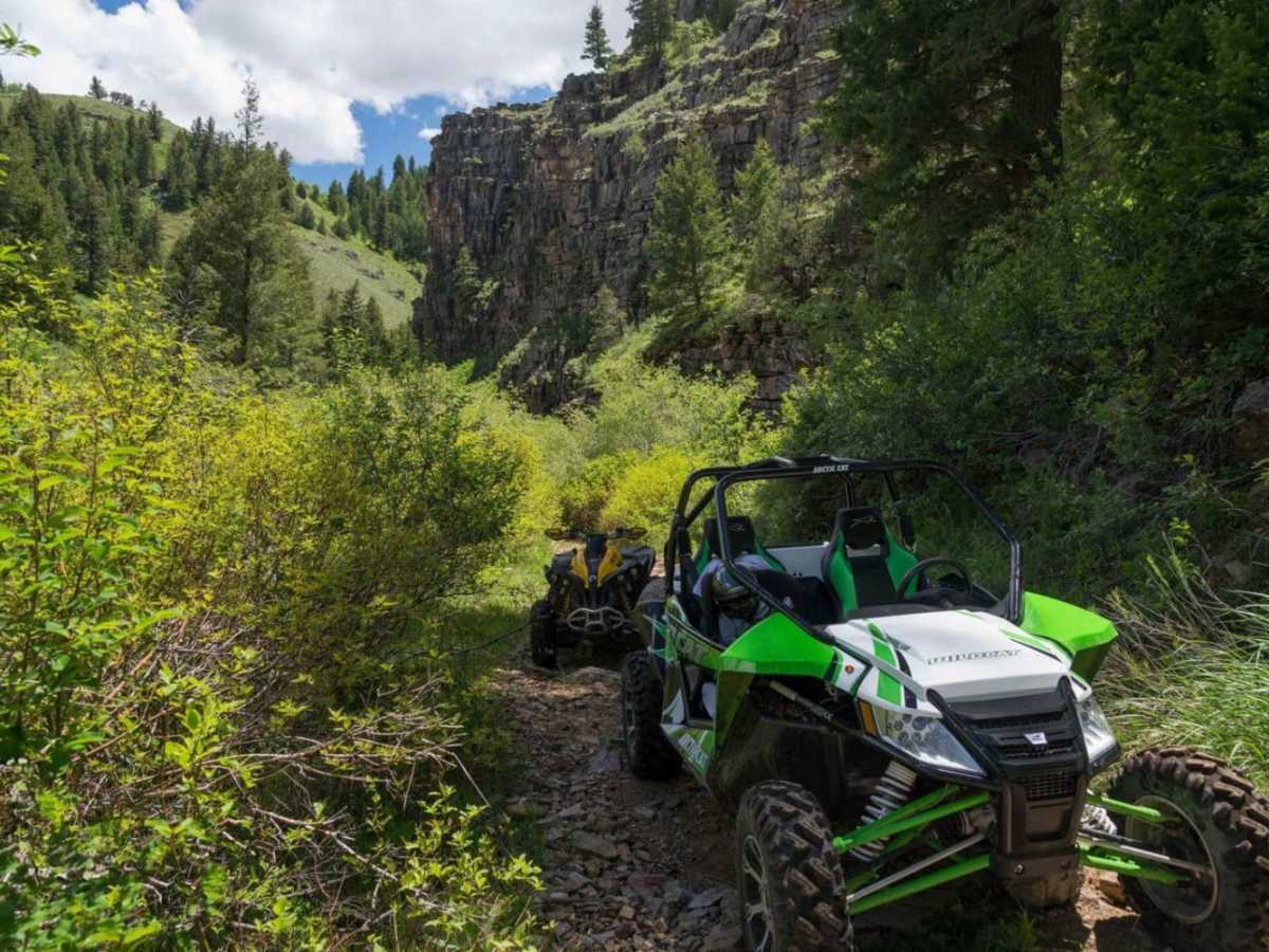
To tackle the rugged upper section of the trail, vehicles require high-clearance, four-wheel-drive capabilities, and robust tires to navigate the steep, rocky climbs and loose terrain. Drivers will encounter challenging obstacles including deep ruts, off-camber sections, and exposed rocks that require careful line selection. This route is ideal for built Jeeps, trucks, and capable SxSs, while less equipped vehicles should plan to turn back before the road transitions into difficult terrain. In addition to the technical challenge, the surrounding canyon offers excellent recreational opportunities, including dispersed camping, hiking, and fishing, making it a premier destination during the late spring through autumn seasons before winter snows close the high country.
Access Description
The first five miles of Left Hand Fork Trail are accessible to standard passenger vehicles, but the upper, more technical section requires a high-clearance, four-wheel-drive vehicle or a capable SxS. The trail is subject to seasonal winter closures due to snow accumulation in the high country, typically opening in late spring and remaining accessible through autumn.