Trail Overview
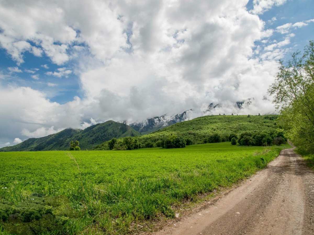
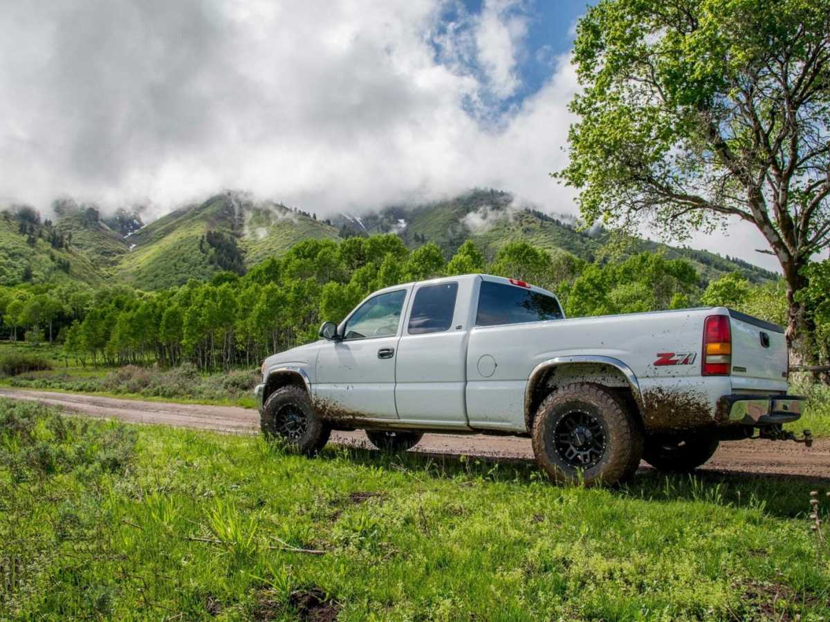
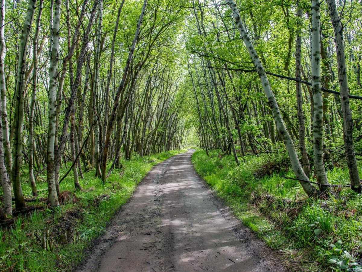
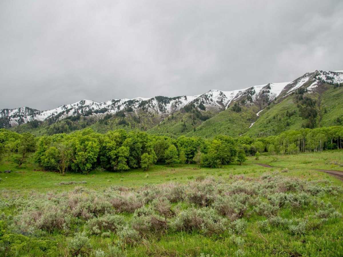
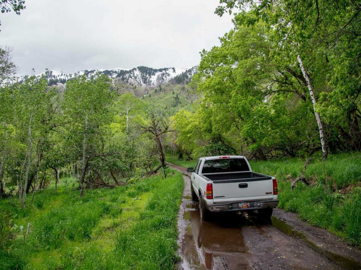
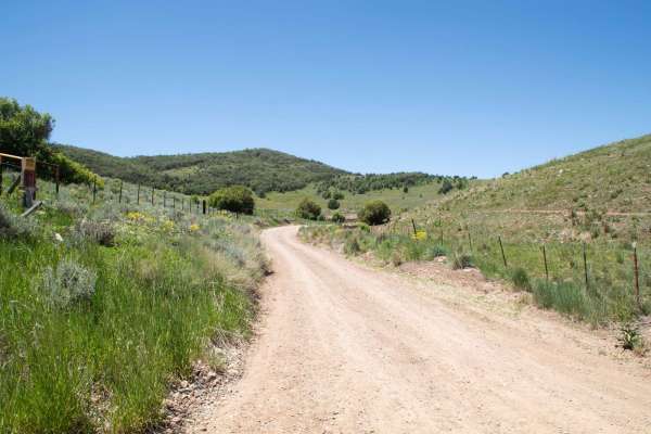
Maple Bench Road is a scenic mountain route ideal for stock four-wheel-drive vehicles, SxSs, and OHVs looking to explore the lower slopes of the Wellsville Mountains near Mendon, Utah. The trail climbs from an elevation of approximately 4,560 feet near the valley floor up to 5,990 feet, offering spectacular views of Cache Valley before ending at the wilderness boundary. The route spans roughly 6.6 miles and features a primary surface of dirt and gravel with occasional rocky sections and ruts that warrant its moderate rating. Drivers can expect some steep switchbacks as the road winds through groves of maples and aspens, making it a great option for a quick evening run or a gateway to high-country hiking.
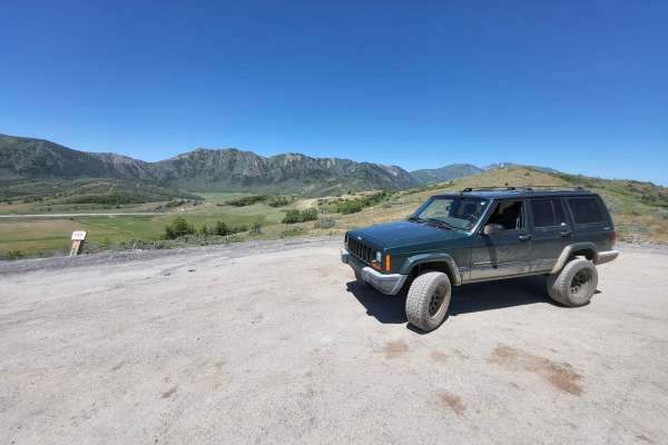
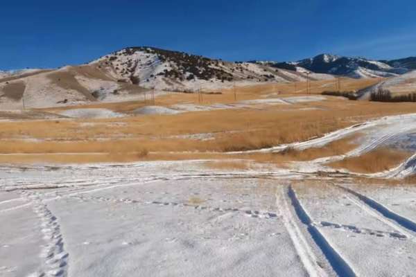
Near the end of the road, a wilderness trailhead provides access to hiking trails leading over Stewart Pass and along the rugged Wellsville ridge. Dispersed camping spots are scattered along the upper portions of the route, ideal for relaxing around a campfire. High-clearance four-wheel-drive vehicles or SxSs are recommended to easily navigate the steeper, looser sections of the climb, while passenger cars should avoid the upper half. The road is typically accessible from late spring through late fall, depending on winter snowmelt and mud conditions.
Access Description
The road is managed by the U.S. Forest Service within the Uinta-Wasatch-Cache National Forest. No permit or fee is required to drive the route, but motorized vehicles are strictly prohibited past the wilderness boundary at the end of the trail.