
Dirt Bike Trails
Near Durham, New York
Explore All Dirt Bike Trails Near Durham, New York
Dirt Bike Trails Near Durham, New York
Discover the best dirt bike trails near you. Browse trail maps, check difficulty ratings, and find your next adventure — whether you're looking for a quick ride or an all-day expedition.
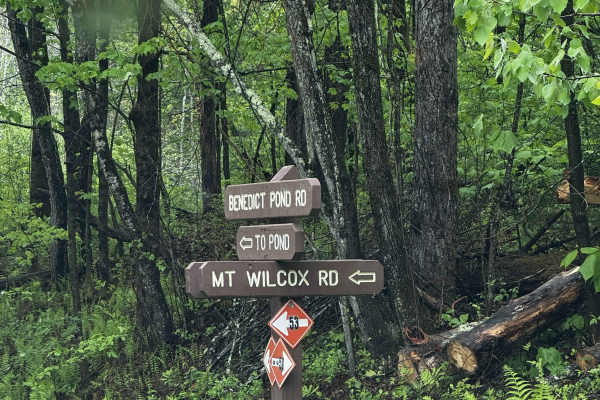
Mount Wilcox Road
Mount Wilcox Road is the main loop that meanders through Beartown State Forest. The loop is 4.3 miles and climbs from 1,600 feet to 2,100 feet. The trail begins and ends off Benedict Pond Road. Halfway through the route from either direction is a short spur that breaks off and provides access to the...
Learn more about Mount Wilcox Road
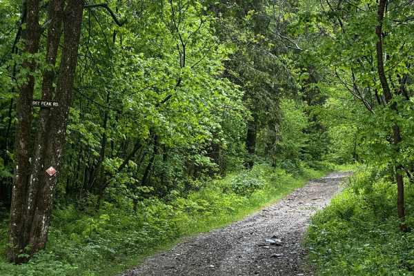
Sky Peak Road
Sky Peak Road is a short connector between Beartown Mountain Road and Wilcox Mountain Road. The trail begins from Beartown and climbs from 1760 to 1900 feet in the short 0.7 miles of the trail over loose rock. The trail is well-graded in most sections, with some showing exposed rock. The trail ends...
Learn more about Sky Peak Road
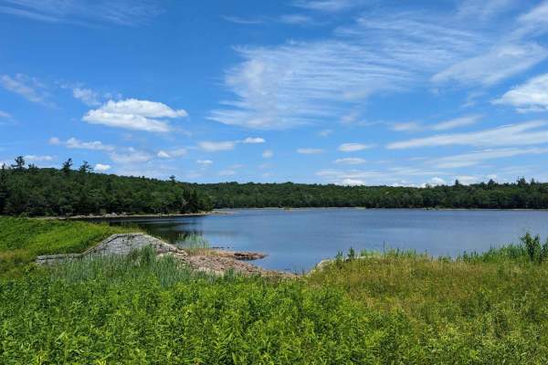
Ashley Lake Road
Ashley Lake Road is an old, unmaintained road through October Mountain State Forest. It rolls through hardwood forests past multiple lakes/reservoirs, including Ashley Lake, Sandwash Reservoir (this has a unique "aerator" which is a large fountain in the middle of the woods), Clapp Pond, and Mud Pon...
Learn more about Ashley Lake Road
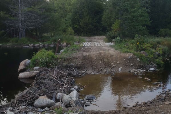
Tannery Rd
Tannery road is a nice connecting off-road trail between Rt 125 and Rt 30. From north to south it starts off with a rocky uphill that transitions to some nice wooded trail. There is a beaver dam/ stream crossing with a small bridge in one spot and water crossing in another. The trail is mostly d...
Learn more about Tannery Rd
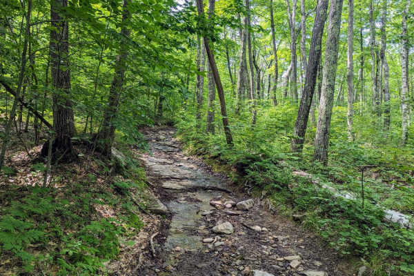
Old Military Road/TH-35
If entering from the south, the hard part is first. The northern end of the trail is an easy dirt track. Coming up the hill from the south are many differential dingers and under carriage crunchers. The trail gets a bit narrow at times but is easily passed with a good spotter. The rougher parts skir...
Learn more about Old Military Road/TH-35
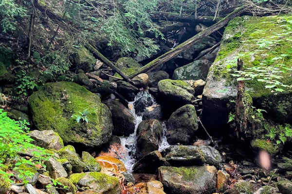
Torrey Mountain Road
This is an unmaintained road in Florida, Massachusetts. The northern end is about a mile from the eastern portal of the Hoosac Tunnel, once the world's second-largest tunnel, and climbs southward out of the beautiful Deerfield River valley. One of the more challenging trails in the Berkshires, this ...
Learn more about Torrey Mountain Road
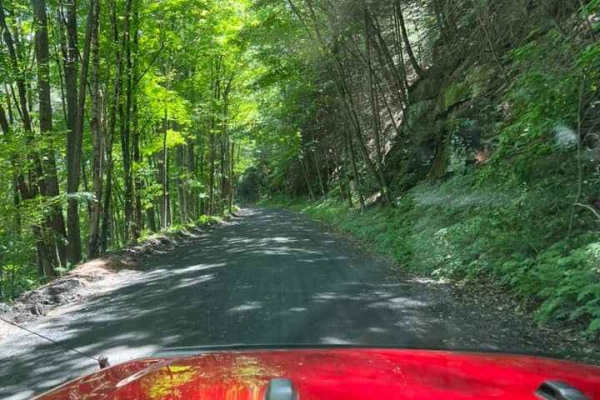
T-743/T-727
The trail starts off in Poyntelle as Township-727 and in Winterdale as T-743. This section of the O and W Trail is a recognized Township route open to street-licensed 4x4s. The trail follows the former route of the Ohio and Western Railroad. Multiple former stations can be observed along the route. ...
Learn more about T-743/T-727
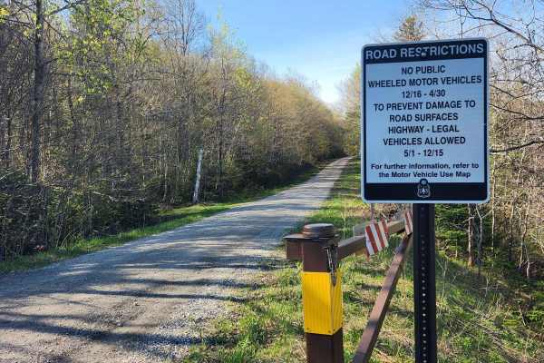
US FSR 74
This is a well-maintained gravel road flanked by forests and dispersed campsites on either side. There is a gate at the entrance which is closed from December 15th to May 1st. Camping is allowed at the dispersed campsites which include space for 1-2 cars and a fire ring but no bathrooms. There are n...
Learn more about US FSR 74
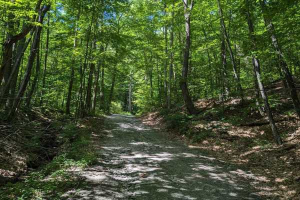
Southeast Corners Road
Vermont Class 4 Road: This is an easy drive through a notch between Little Equinox and Pendock Hill. The trail is sometimes steep, especially on the eastern slope, but includes nothing too technical. The road parallels Skyline Drive, the longest paved toll road in the US for some of the eastern clim...
Learn more about Southeast Corners Road
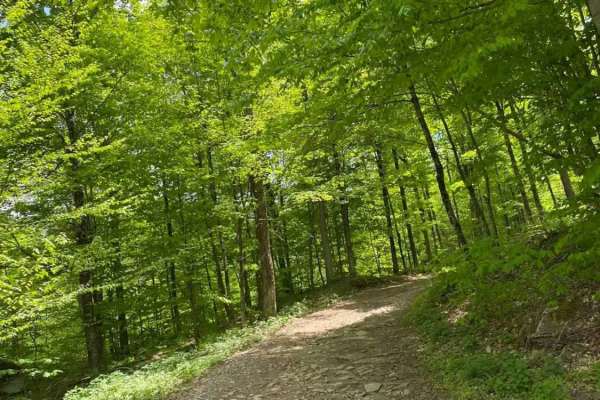
Big Valley Road
Big Valley Road offers a scenic and highly accessible offroad driving experience for novice drivers and seasoned explorers alike, serving as a tranquil passage through Pennsylvania's dense State Game Lands. Stretching approximately 2.2 miles, this winding forest road climbs from an elevation of 1,29...
Learn more about Big Valley Road
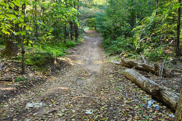
Military Road
Sandy dirt road connecting from Cold Brook to Norway. It is a seasonal road only open during the summer months. They have recently resurfaced part of the road, making it easier for non-lifted vehicles. The sand can make it slow going epically for motorcycles. There are a few side trails with sand pi...
Learn more about Military Road
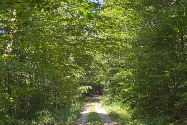
Rock City Road
This trail is a simple two-track side road completely in the woods. Areas are subject to becoming overgrown, especially halfway, where there is an opening from the trees. When you reach the end of the trail, there is a secluded campsite that puts you far from most others; however, it is often full.
Learn more about Rock City Road
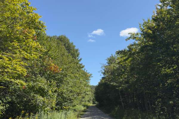
Branch Pond Trail
During the on-season, this is a well-maintained trail off of Kelly Strand Road that leads to a beautiful pond. There is parking available at the end of the trail, with a 0.3-mile walk to Branch Pond. The trail is accessible to most vehicles depending on the weather.
Learn more about Branch Pond Trail
Thomaston Dam Loop
Thomaston Dam Loop is a moderate dual-sport style ride best suited for experienced dirt bike riders looking for a mix of flowing singletrack and faster gravel segments within a controlled OHV area. Located along the Naugatuck River corridor just north of Thomaston Dam, this motorcycle-only trail sys...
Learn more about Thomaston Dam Loop
ATV trails near Durham, New York
Explore ATV-friendly trails near you. These trails are accessible for vehicles up to 50 inches wide, perfect for ATVs and smaller off-road machines.
Mount Wilcox Road
Mount Wilcox Road is the main loop that meanders through Beartown State Forest. The loop is 4.3 miles and climbs from 1,600 feet to 2,100 feet. The trail begins and ends off Benedict Pond Road. Halfway through the route from either direction is a short spur that breaks off and provides access to the...
Learn more about Mount Wilcox Road
Sky Peak Road
Sky Peak Road is a short connector between Beartown Mountain Road and Wilcox Mountain Road. The trail begins from Beartown and climbs from 1760 to 1900 feet in the short 0.7 miles of the trail over loose rock. The trail is well-graded in most sections, with some showing exposed rock. The trail ends...
Learn more about Sky Peak Road
Ashley Lake Road
Ashley Lake Road is an old, unmaintained road through October Mountain State Forest. It rolls through hardwood forests past multiple lakes/reservoirs, including Ashley Lake, Sandwash Reservoir (this has a unique "aerator" which is a large fountain in the middle of the woods), Clapp Pond, and Mud Pon...
Learn more about Ashley Lake Road
Tannery Rd
Tannery road is a nice connecting off-road trail between Rt 125 and Rt 30. From north to south it starts off with a rocky uphill that transitions to some nice wooded trail. There is a beaver dam/ stream crossing with a small bridge in one spot and water crossing in another. The trail is mostly d...
Learn more about Tannery Rd
UTV/side-by-side trails near Durham, New York
Find UTV and side-by-side trails near you. These trails accommodate vehicles up to 60 inches wide, ideal for UTVs, side-by-sides, and wider off-road rigs.
Mount Wilcox Road
Mount Wilcox Road is the main loop that meanders through Beartown State Forest. The loop is 4.3 miles and climbs from 1,600 feet to 2,100 feet. The trail begins and ends off Benedict Pond Road. Halfway through the route from either direction is a short spur that breaks off and provides access to the...
Learn more about Mount Wilcox Road
Sky Peak Road
Sky Peak Road is a short connector between Beartown Mountain Road and Wilcox Mountain Road. The trail begins from Beartown and climbs from 1760 to 1900 feet in the short 0.7 miles of the trail over loose rock. The trail is well-graded in most sections, with some showing exposed rock. The trail ends...
Learn more about Sky Peak Road
Ashley Lake Road
Ashley Lake Road is an old, unmaintained road through October Mountain State Forest. It rolls through hardwood forests past multiple lakes/reservoirs, including Ashley Lake, Sandwash Reservoir (this has a unique "aerator" which is a large fountain in the middle of the woods), Clapp Pond, and Mud Pon...
Learn more about Ashley Lake Road
Tannery Rd
Tannery road is a nice connecting off-road trail between Rt 125 and Rt 30. From north to south it starts off with a rocky uphill that transitions to some nice wooded trail. There is a beaver dam/ stream crossing with a small bridge in one spot and water crossing in another. The trail is mostly d...
Learn more about Tannery Rd
The onX Offroad Difference
onX Offroad combines trail photos, descriptions, difficulty ratings, width restrictions, seasonality, and more in a user-friendly interface. Available on all devices, with offline access and full compatibility with CarPlay and Android Auto. Discover what you're missing today!
Open Trail Map