
Dirt Bike Trails
Near Drakes Branch, Virginia
Explore All Dirt Bike Trails Near Drakes Branch, Virginia
Dirt Bike Trails Near Drakes Branch, Virginia
Discover the best dirt bike trails near you. Browse trail maps, check difficulty ratings, and find your next adventure — whether you're looking for a quick ride or an all-day expedition.
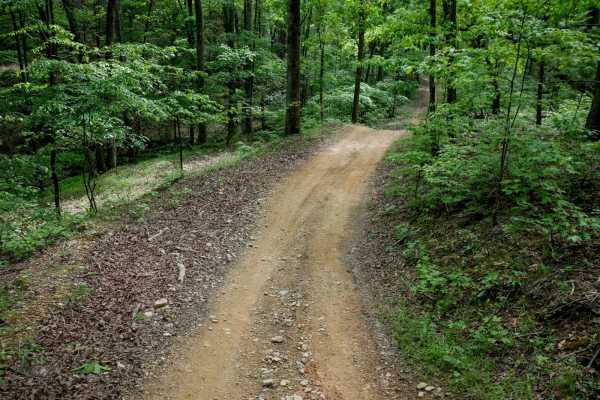
Otter
Otter Trail is a 1-mile loop that branches off the South Pedlar Trail, offering riders a short detour to change up the pace or add a bit of mileage. Like the other trails in the area, it features a wide tread with well-built waterbars and sweeping curves that meander through dense forest. The trail ...
Learn more about Otter
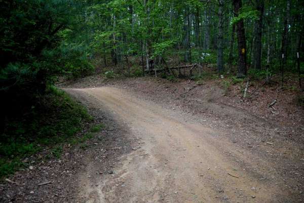
Terrapin
Terrapin Trail is a short, 0.6-mile connector linking the South Pedlar Trailhead parking area off State Highway 130 to the main South Pedlar loop. This easy, smooth trail is very wide with no obstacles, consistent with the rest of the trail system. It features the same hard-packed surface, scattered...
Learn more about Terrapin
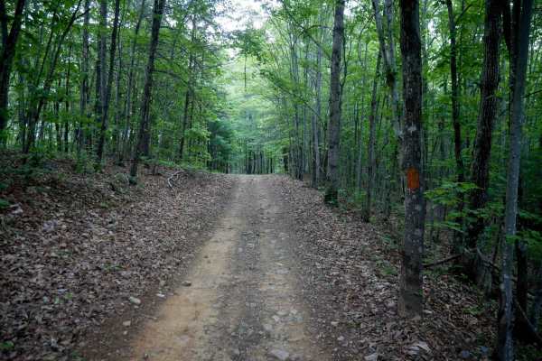
Piney
Piney Trail is a 0.9-mile gradual ascent when traveling west to east, serving as a useful cutoff across the South Pedlar loop to shorten your ride. The trail is wide and smooth with well-placed waterbars, and any small loose rocks or leaf litter are mostly pushed to the sides. A few muddy ruts may b...
Learn more about Piney
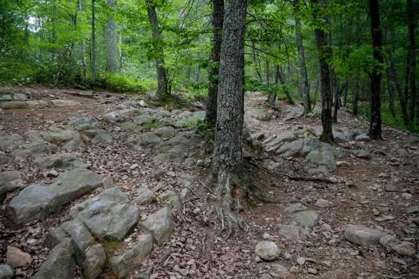
South Pedlar
South Pedlar is a 10.5-mile ATV loop trail in George Washington National Forest offering a fast and flowy ride through mossy woodlands. The wide, well-maintained trail features a smooth surface with scattered loose rocks and leaf debris, along with banked corners and wooden bridges. While most of th...
Learn more about South Pedlar
Lone Mountain
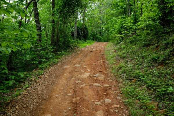
Lone Mountain Trail is a 1.8-mile easy connector that cuts across the South Pedlar ATV loop, allowing riders to create shorter route options. The trail winds gradually through a beautiful forest dominated by eastern hardwoods, with tight corners and meandering curves that offer a more enclosed, inti...
Learn more about Lone Mountain
Rattlesnake
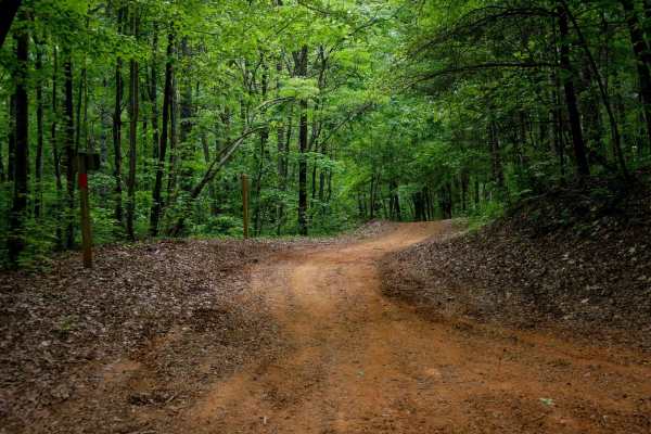
Rattlesnake Trail is a 0.5-mile ATV trail that provides smooth, easy access from the large Rattlesnake Trailhead parking lot off State Highway 130 to the South Pedlar loop. It features large water bars and fast, flowy riding with rocks pushed to the sides. The trail winds through a scenic forest dom...
Learn more about Rattlesnake
Lasso
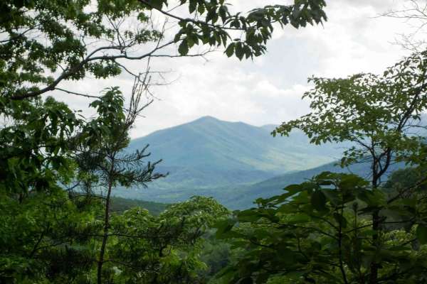
Lasso Trail is a 2.6-mile spur off the north end of the South Pedlar loop, forming a lasso-shaped route that adds a scenic extension to your ride. The trail is wide and smooth throughout, with well-spaced water bars and minimal obstacles, making it ideal for riders of all skill levels. It winds thro...
Learn more about Lasso
Cow Camp Road
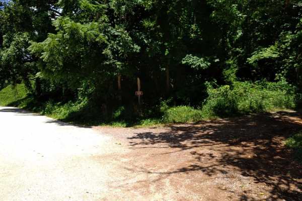
Cow Camp Road is an inviting mountain route in the George Washington National Forest that offers offroaders of all skill levels a gentle climb through scenic hardwood forests and quick access to famous Blue Ridge hiking trails. Spanning approximately 3.4 miles, this unpaved forest road ascends the s...
Learn more about Cow Camp Road
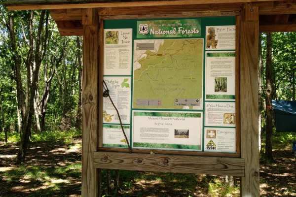
FR51-AT
This short offshoot from Hog Camp Trail leads to the Mount Pleasant Scenic Area with opportunities for hiking and camping.
Learn more about FR51-AT
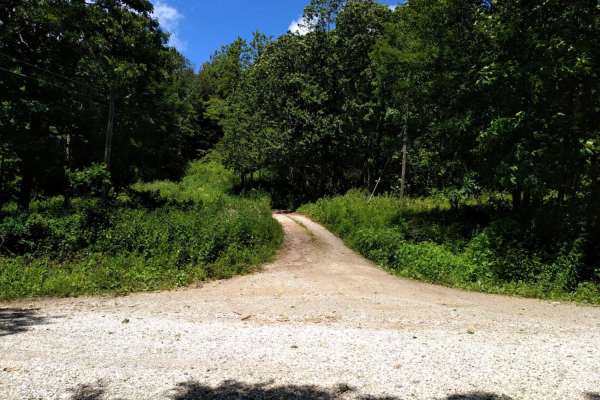
FR1176
FR1176, also known as Rocky Mountain Road, is an ideal route for offroaders seeking a short but scenic mountain climb that leads to impressive high-elevation vistas in the George Washington and Jefferson National Forests. Beginning at Salt Log Gap at an elevation of 3,235 feet, this 1.7-mile trail a...
Learn more about FR1176
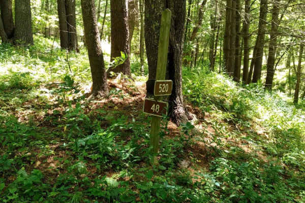
Hog Camp
Hog Camp Road is a scenic 5.8-mile mountain route through the George Washington National Forest, perfect for stock four-wheel-drive vehicles, high-clearance SUVs, and SxSs looking for high-elevation access. Climbing over 1,200 feet from a minimum elevation of 2,465 feet up to a peak of 3,505 feet, t...
Learn more about Hog Camp
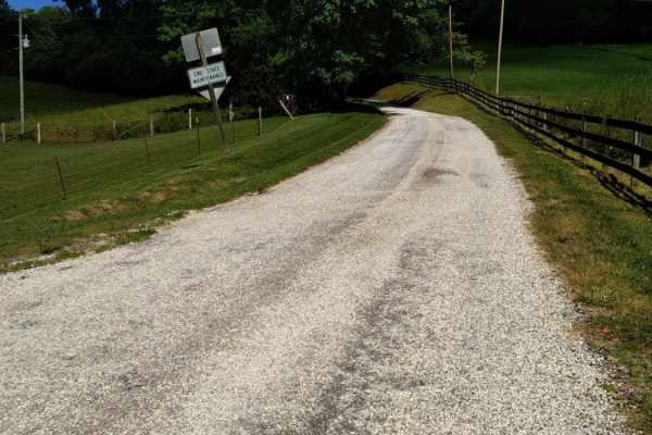
Big Piney
Big Piney is a gravel road passing through a portion of the George Washington National Forest, offering access to hiking, camping and swimming. The trail is rocky and typically unmaintained after rain or snow. You may encounter shallow water crossings and obstacles under 12" on the trail, including ...
Learn more about Big Piney
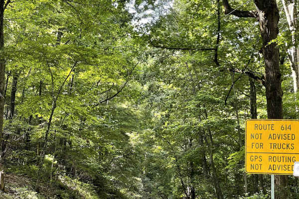
VA 614
VA-614 is a well-maintained two-track and two-lane trail that either begins or ends near Peaks of Otter Park. When traveling from the Peaks of Otter toward U.S. 460, the trail follows a steady downhill grade and consists primarily of hard-packed gravel. The surface is generally smooth and free of ma...
Learn more about VA 614
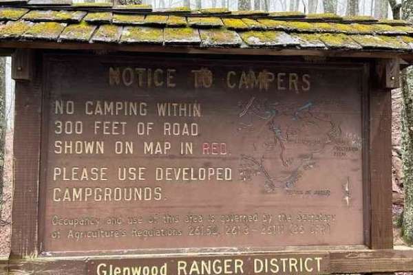
Powell's Gap
This is a gravel FS road leading to prime trout water. It's a scenic short path off the Blue Ridge Parkway. Go to the end of the road and take a left onto Jennings Creek. The trout water parallels the road for a few miles. The water is stocked and there are 2 nearby campgrounds off Jennings Creek Ro...
Learn more about Powell's Gap
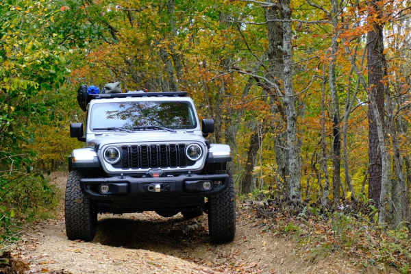
Bobblets Gap
Bobblets Gap is a natural surface two-track that starts on the south side of the Blue Ridge near Montvale, Virginia, and traverses up the mountain. At the top, it goes under the Blue Ridge Parkway and back off the north side of the mountain range, where it intersects with the Appalachian Trail and a...
Learn more about Bobblets Gap
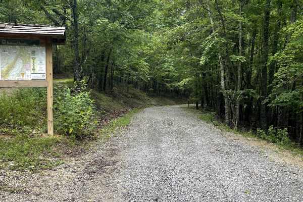
Pulaski Tract - FS 634
Pulaski Tract - FS 634 is a well-maintained out-and-back gravel trail that offers users an enjoyable route through the surrounding forest. Along the trail are two small creek crossings, each equipped with concrete pillars that allow smaller, lower-clearance vehicles to cross without difficulty. The ...
Learn more about Pulaski Tract - FS 634
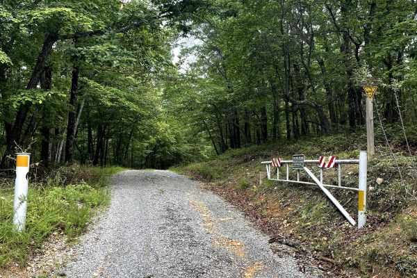
Pulaski Tract
Pulaski Tract is accessed from the end of Bethel Road and follows the base of the mountain before ending at a permanently closed USFS gate. The trail provides users with a peaceful route through the forest and serves as an important connection to several of the area's best hiking opportunities. Alon...
Learn more about Pulaski Tract
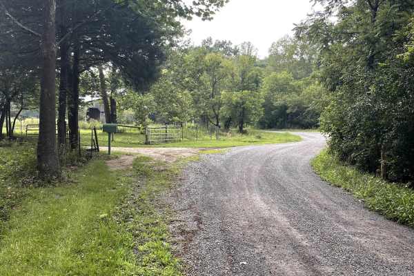
Fringer Trail
Fringer Trail is a well-maintained gravel county road that provides users with quicker access to several hiking trails along Glenwood Horse Trail. The route offers a peaceful and convenient connection for those looking to explore the surrounding forest and recreational opportunities.
The trail is fr...
Learn more about Fringer Trail
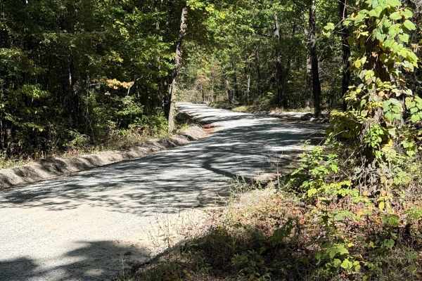
Tuckaho
Tuckaho Road is a short, 0.9-mile gravel road managed by the U.S. Forest Service within George Washington National Forest. The surface is smooth and well-maintained, suitable for full-width 4×4 vehicles, high-clearance rigs, SxS, ATVs, dirt bikes, and even non-4x4 vehicles. There are no major obstac...
Learn more about Tuckaho
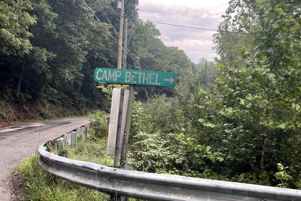
Bethel Road
Bethel Road is a well-maintained, two-lane gravel road that provides users with access to FS 634, the Glenwood Trail, and several local hiking trails. At the summit of the trail, users will find a wide parking area that provides convenient access to the surrounding hiking opportunities. One of the n...
Learn more about Bethel Road
ATV trails near Drakes Branch, Virginia
Explore ATV-friendly trails near you. These trails are accessible for vehicles up to 50 inches wide, perfect for ATVs and smaller off-road machines.
Otter
Otter Trail is a 1-mile loop that branches off the South Pedlar Trail, offering riders a short detour to change up the pace or add a bit of mileage. Like the other trails in the area, it features a wide tread with well-built waterbars and sweeping curves that meander through dense forest. The trail ...
Learn more about Otter
Terrapin
Terrapin Trail is a short, 0.6-mile connector linking the South Pedlar Trailhead parking area off State Highway 130 to the main South Pedlar loop. This easy, smooth trail is very wide with no obstacles, consistent with the rest of the trail system. It features the same hard-packed surface, scattered...
Learn more about Terrapin
Piney
Piney Trail is a 0.9-mile gradual ascent when traveling west to east, serving as a useful cutoff across the South Pedlar loop to shorten your ride. The trail is wide and smooth with well-placed waterbars, and any small loose rocks or leaf litter are mostly pushed to the sides. A few muddy ruts may b...
Learn more about Piney
South Pedlar
South Pedlar is a 10.5-mile ATV loop trail in George Washington National Forest offering a fast and flowy ride through mossy woodlands. The wide, well-maintained trail features a smooth surface with scattered loose rocks and leaf debris, along with banked corners and wooden bridges. While most of th...
Learn more about South Pedlar
UTV/side-by-side trails near Drakes Branch, Virginia
Find UTV and side-by-side trails near you. These trails accommodate vehicles up to 60 inches wide, ideal for UTVs, side-by-sides, and wider off-road rigs.
Cow Camp Road
Cow Camp Road is an inviting mountain route in the George Washington National Forest that offers offroaders of all skill levels a gentle climb through scenic hardwood forests and quick access to famous Blue Ridge hiking trails. Spanning approximately 3.4 miles, this unpaved forest road ascends the s...
Learn more about Cow Camp Road
FR1176
FR1176, also known as Rocky Mountain Road, is an ideal route for offroaders seeking a short but scenic mountain climb that leads to impressive high-elevation vistas in the George Washington and Jefferson National Forests. Beginning at Salt Log Gap at an elevation of 3,235 feet, this 1.7-mile trail a...
Learn more about FR1176
Hog Camp
Hog Camp Road is a scenic 5.8-mile mountain route through the George Washington National Forest, perfect for stock four-wheel-drive vehicles, high-clearance SUVs, and SxSs looking for high-elevation access. Climbing over 1,200 feet from a minimum elevation of 2,465 feet up to a peak of 3,505 feet, t...
Learn more about Hog Camp
Big Piney
Big Piney is a gravel road passing through a portion of the George Washington National Forest, offering access to hiking, camping and swimming. The trail is rocky and typically unmaintained after rain or snow. You may encounter shallow water crossings and obstacles under 12" on the trail, including ...
Learn more about Big Piney
The onX Offroad Difference
onX Offroad combines trail photos, descriptions, difficulty ratings, width restrictions, seasonality, and more in a user-friendly interface. Available on all devices, with offline access and full compatibility with CarPlay and Android Auto. Discover what you're missing today!
Open Trail Map