Pulaski Tract

Total Miles7.1
Technical Rating
2Easy
Best TimeSpring, Summer, Fall, Winter
Trail TypeFull-Width Road
Accessible By
Open Trail Map

Trail Overview

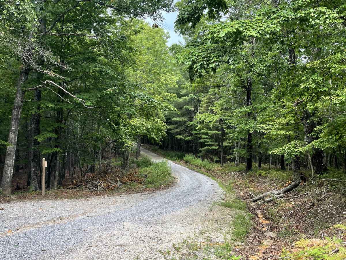
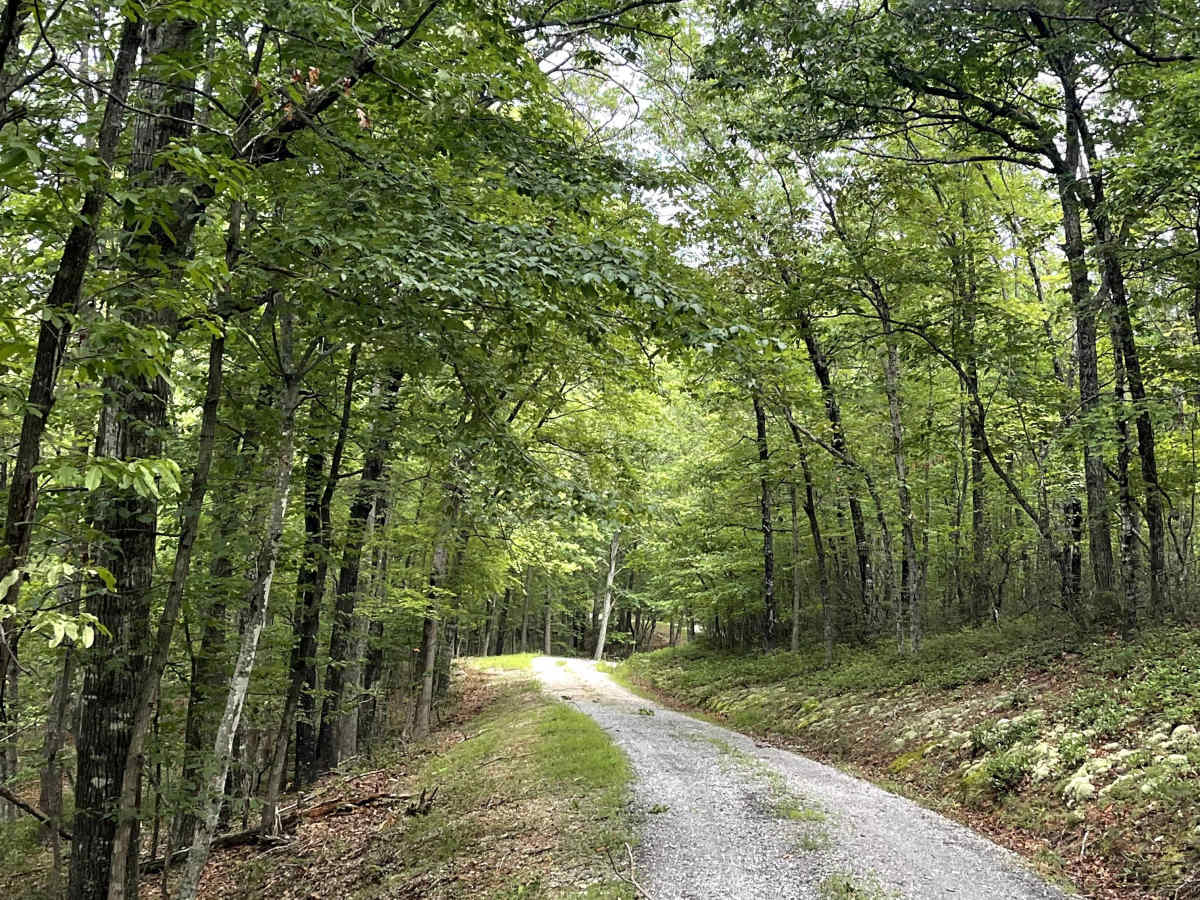
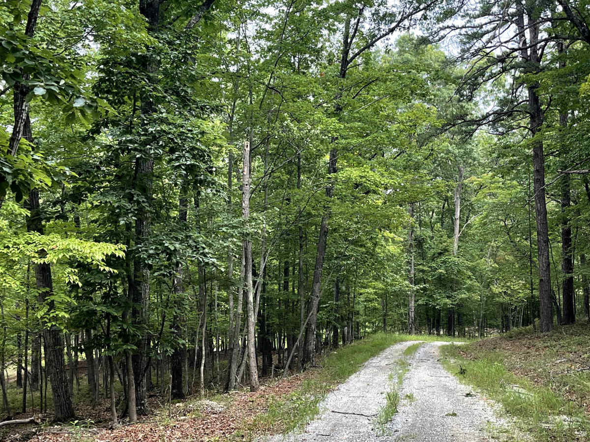
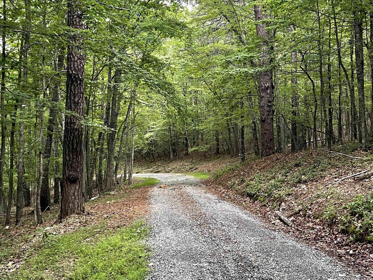
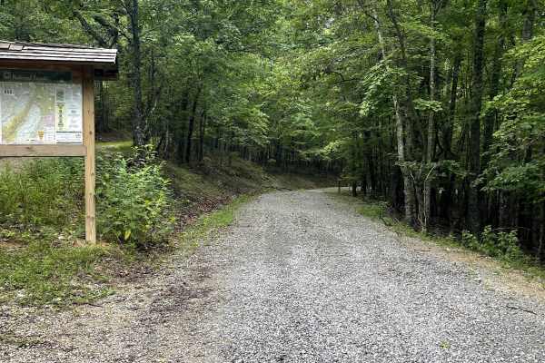
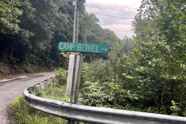
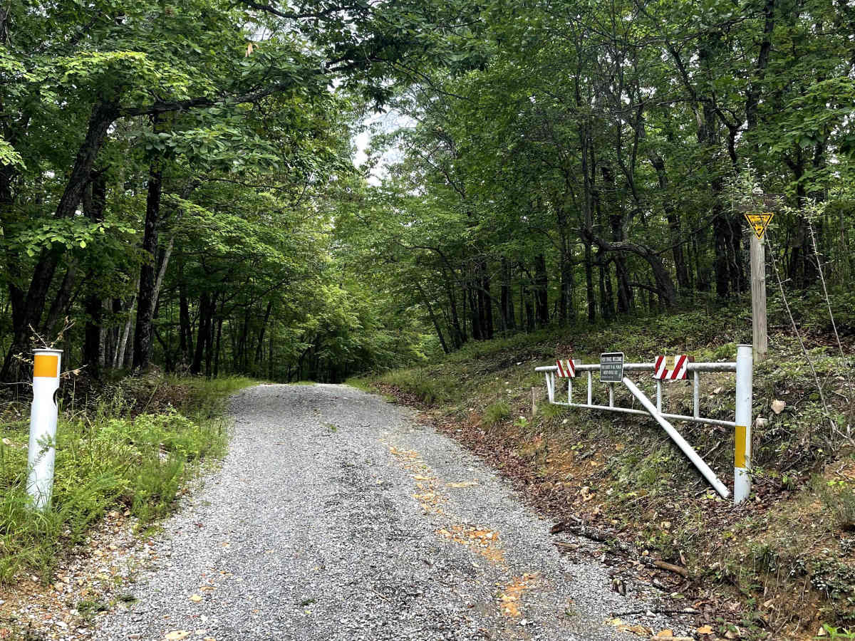
Pulaski Tract is accessed from the end of Bethel Road and follows the base of the mountain before ending at a permanently closed USFS gate. The trail provides users with a peaceful route through the forest and serves as an important connection to several of the area's best hiking opportunities. Along the route are multiple easy creek crossings. While these crossings are manageable for high-clearance vehicles, they could present challenges for vehicles with limited ground clearance. Users should exercise caution when crossing, especially after periods of heavy rain when water levels may rise. Glenwood Horse Trail serves as a main artery for accessing several local hiking trails, including the popular Spec Mines area. Approximately halfway along the route, users also have the option to turn onto a connecting route that leads to Fringer Trail Road. With its creek crossings, hiking access, and remote forest setting, Glenwood Horse Trail offers users an enjoyable way to explore the area beyond the paved roads.

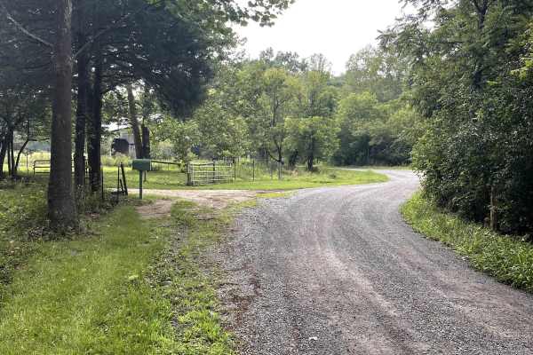
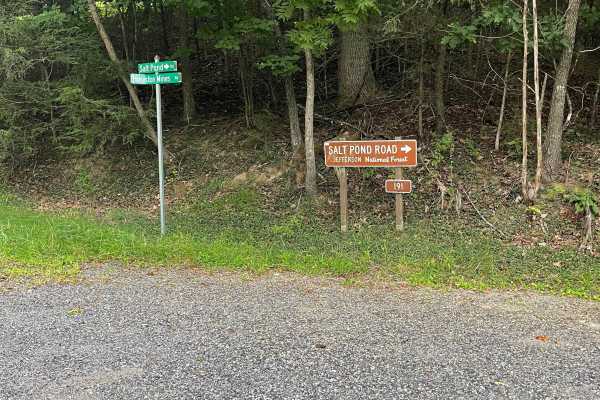
Photos of Pulaski Tract

Difficulty

Shallow water crossings and a mix between gravel and dirt.

Technical Rating

2

Pulaski Tract Trail can be accessed by the following ride types:

  • Single Track
  • High Clearance
  • Full Width

Pulaski Tract Map

The onX Offroad Difference

onX Offroad combines trail photos, descriptions, difficulty ratings, width restrictions, seasonality, and more in a user-friendly interface. Available on all devices, with offline access and full compatibility with CarPlay and Android Auto. Discover what you're missing today!

Open Trail Map