
Dirt Bike Trails
Near Crescent Lake, Oregon
Explore All Dirt Bike Trails Near Crescent Lake, Oregon
Dirt Bike Trails Near Crescent Lake, Oregon
Discover the best dirt bike trails near you. Browse trail maps, check difficulty ratings, and find your next adventure — whether you're looking for a quick ride or an all-day expedition.
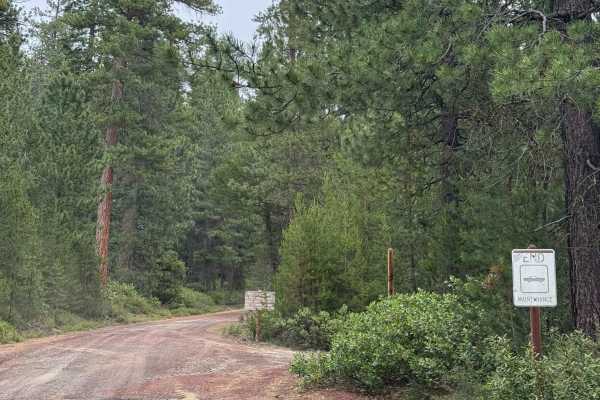
Odell Butte Lookout Trail
This is a gravel-based forest road that climbs over 2,000 feet in elevation from Highway 58 to the top of Odell Butte. At the top of the butte stands Odell Butte Lookout Tower, which is staffed in the summer, and there is a closed gate approximately 500 yards from the top. The trail starts off wide ...
Learn more about Odell Butte Lookout Trail
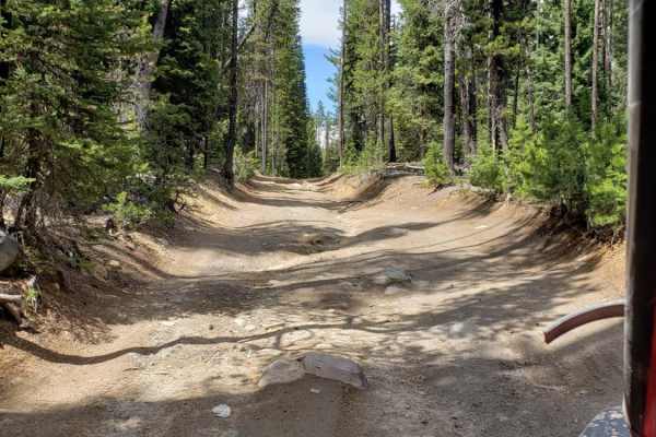
Summit Lake Run
This is a single track dirt and rock road with some passing spots. It is swampy in some areas, and the mosquitoes are thick. Weather will increase the difficulty quickly and there is no reliable cell service. The trail is at a high elevation, so you can expect snow almost any time of the year.
Learn more about Summit Lake Run
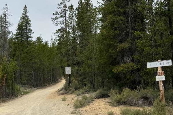
FS 5825-000
This is a gravel-based forest road in the Crescent OHV area. The trail is narrow with room to pass and has minor washboard along the trail. One small section of the trail is a smooth, sandy base, but it transitions back to gravel quickly. This trail is suitable for any vehicle type, and all types ar...
Learn more about FS 5825-000
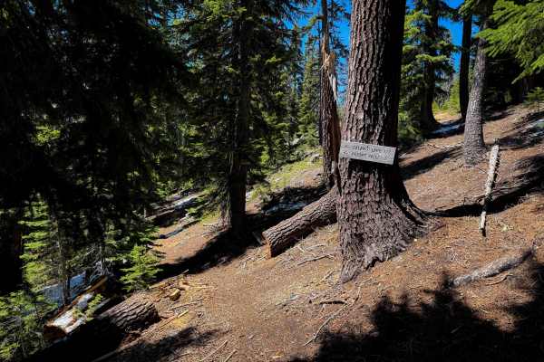
Waterbag Way
Waterbag Way is a hidden gem single track in the Umpqua National Forest in Oregon. The east entrance is off of Windigo Pass, just past the Windigo Pass Parking Area. It’s not marked from the road, so it can be easy to miss. The trail is mostly a narrow alpine single track that weaves through the sce...
Learn more about Waterbag Way
FS 5834-000
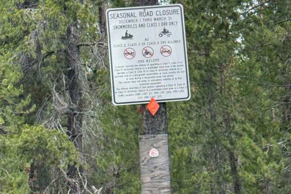
This is a mostly dirt-based forest road in the Crescent OHV area, and the trail is subject to seasonal road closures between December 1 and March 31. A portion of this trail runs parallel alongside a power line as it passes Bunny Butte. The trail has some ruts and washouts over a foot and a half dee...
Learn more about FS 5834-000
Start O Willamette Trail
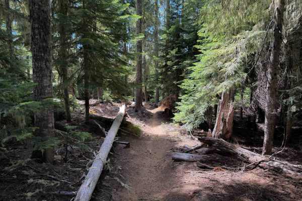
The Start O Willamette Trail is a short access trail that starts at the Timpanogas Lake Shelter with a view of Lake Timpanogas. It gradually climbs up to the Windy Pass Trail, gaining about 650 feet in elevation over the one-mile route. The trail goes through a wide forested corridor of moss-covered...
Learn more about Start O Willamette Trail
June Lake Trail
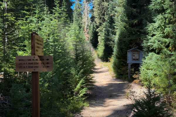
The June Lake Trail is a fun and flowy single track that starts at the Timpanogas Lake Campground at a day-use parking area and winds through the forest for 2.2 miles to reach June Lake. There is a small spot with water access at the end of the trail, making for a great place to rest before your ret...
Learn more about June Lake Trail
Indigo Lake Trail
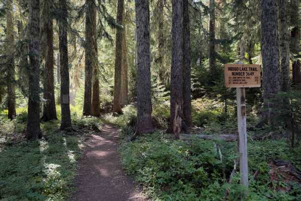
The Indigo Lake Trail is an easy single-track trail that starts at Lake Timpanogas and gradually climbs for 2 miles up to Indigo Lake. This is the easiest trail in the Lake Timpanogas trail system. It gains about 600 feet elevation during its ascent, with several wide and sweeping switchbacks. The t...
Learn more about Indigo Lake Trail
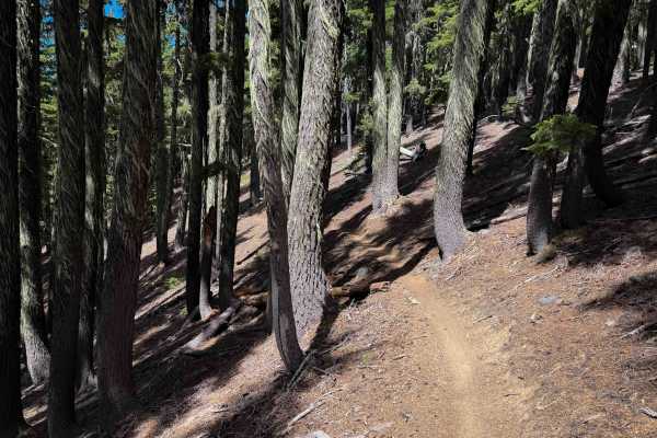
Windy Pass
The 6.3-mile-long section of Windy Pass Trail on the east side of Timpanogas Lake is a moderate single track that ascends from Forest Road 2154-372 to the intersection with Indigo Extension Trail. This section of trail can be ridden in either direction, but the west section of Windy Pass that connec...
Learn more about Windy Pass
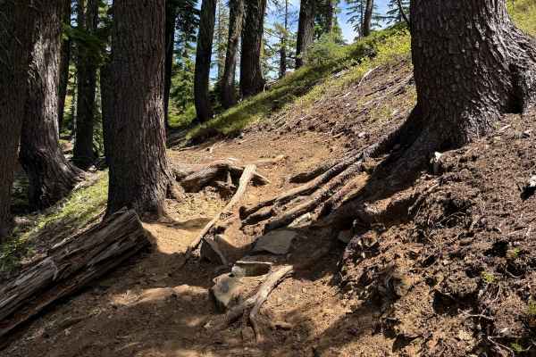
Indigo Extension Trail
The Indigo Extension Trail is a short but upper-intermediate-difficulty single track from Indigo Lake to Windy Pass. It is a steep climb from north to south, gaining about 800 feet in elevation through several steep and tight switchbacks. The north end starts at an intersection with Indigo Lake Trai...
Learn more about Indigo Extension Trail
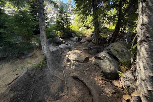
Sawtooth Trail
Sawtooth Trail is a challenging single-track that ascends from Timpanogas Lake to Windy Pass Trail. The Forest Service recommends riding it as a counterclockwise loop with Windy Pass, due to a scree section on Windy Pass that is a directional one-way-only downhill segment. Thus, expert riders can st...
Learn more about Sawtooth Trail
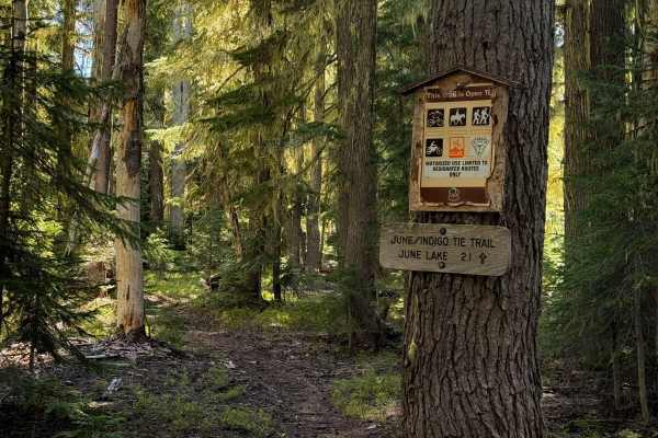
June-Indigo Tie
This is a short connector route between the June Lake single track and the Indigo Lake single track. It is about a half mile long, traversing through a forest of mossy hemlock trees. The trail is a smooth dirt single track that is mostly flat, with very little elevation change, that just weaves thro...
Learn more about June-Indigo Tie
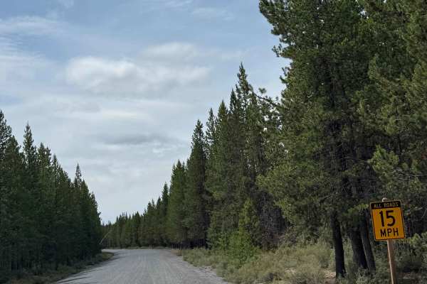
FS 5830
This trail starts off in the Two Rivers community before traveling through the forest and looping over to Muttonchop Butte. The trail is a mixture of dirt and gravel and is narrow and one vehicle wide with room to pass. There are ruts and washouts over a foot deep in some places, but any vehicle sho...
Learn more about FS 5830
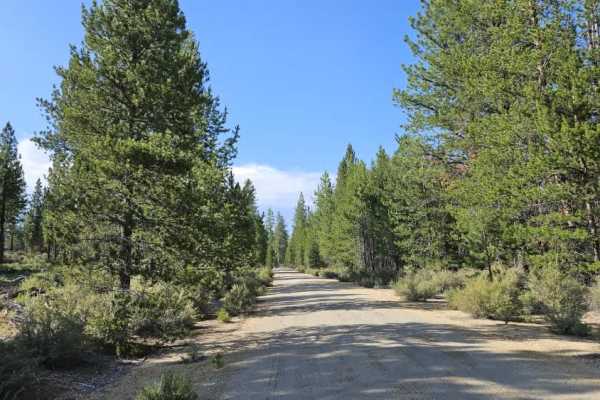
FS 9768
This well-maintained arterial gravel road branches directly from Highway 97 and provides access to a large portion of the surrounding trail network. Several spacious dispersed camping areas are located along the route, with enough room for groups, trailers, ATVs, and SxSs. More than 20 side trails b...
Learn more about FS 9768
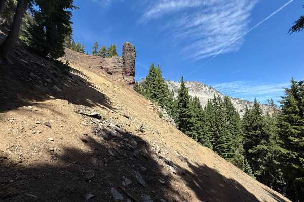
Windy Pass
The advanced section of Windy Pass between Sawtooth Trail and Indigo Extension Trail is one-way only, downhill, due to a loose and exposed scree field just after the trail passes the summit of Sawtooth Mountain that should not be ridden uphill, and thus should only be ridden from west to east. The F...
Learn more about Windy Pass
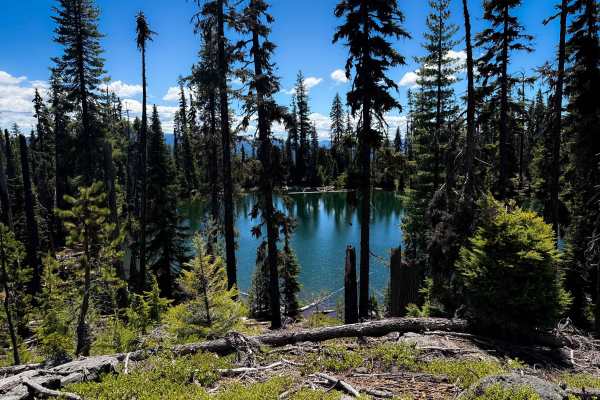
Calamut Lake
This is a short, but scenic and fun single track through the Umpqua National Forest that has spectacular views of multiple alpine lakes. The north end starts at the picnic tables at Calamut Lake at the intersection with the ATV trail. The narrow dirt single track gradually descends south for 1.5 mil...
Learn more about Calamut Lake
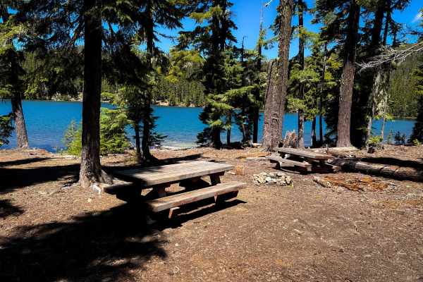
Calamut Way
Calamut Way is a 1.6-mile-long ATV trail through the Umpqua National Forest that ends at a spectacular view of Calamut Lake. There are picnic tables at the north end by the lake for a scenic rest stop or lunch break. The trail is a gradual ascent from south to north, on a wide and easy two-track tra...
Learn more about Calamut Way
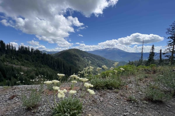
Buck Creek 2120
Buck Creek Road 2120 takes you on a 20.9-mile journey through the 1.7-million-acre Willamette National Forest located in Oregon. This route is not recommended for low-clearance vehicles due to primitive and unmaintained road conditions. There is falling debris, rocks, landslides, rockslides, flash f...
Learn more about Buck Creek 2120
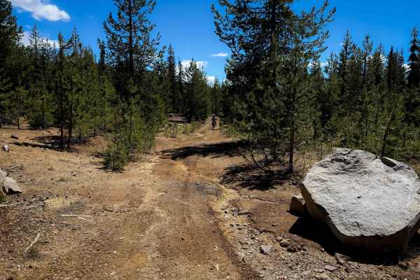
760
Trail 760 is a more primitive ATV trail through the Umpqua National Forest that weaves through the pine trees on a lightly trafficked dirt path. The trail is wide and gradual, mostly smooth dirt, with a few sections lightly covered in loose rocks. There are large waterbars and shallow ruts, and some...
Learn more about 760
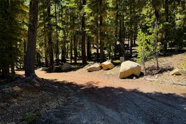
742
Trail 742 is a wide and easy route through the Umpqua National Forest. It is road-width, on a unique dark red-colored dirt, with light rutting, but no major obstacles. The trail starts off the Kelsay Calamut Loop Road. It winds through the pine trees, on a very gradual and steady ascent, with no obs...
Learn more about 742
ATV trails near Crescent Lake, Oregon
Explore ATV-friendly trails near you. These trails are accessible for vehicles up to 50 inches wide, perfect for ATVs and smaller off-road machines.
Odell Butte Lookout Trail
This is a gravel-based forest road that climbs over 2,000 feet in elevation from Highway 58 to the top of Odell Butte. At the top of the butte stands Odell Butte Lookout Tower, which is staffed in the summer, and there is a closed gate approximately 500 yards from the top. The trail starts off wide ...
Learn more about Odell Butte Lookout Trail
Summit Lake Run
This is a single track dirt and rock road with some passing spots. It is swampy in some areas, and the mosquitoes are thick. Weather will increase the difficulty quickly and there is no reliable cell service. The trail is at a high elevation, so you can expect snow almost any time of the year.
Learn more about Summit Lake Run
FS 5825-000
This is a gravel-based forest road in the Crescent OHV area. The trail is narrow with room to pass and has minor washboard along the trail. One small section of the trail is a smooth, sandy base, but it transitions back to gravel quickly. This trail is suitable for any vehicle type, and all types ar...
Learn more about FS 5825-000
FS 5834-000
This is a mostly dirt-based forest road in the Crescent OHV area, and the trail is subject to seasonal road closures between December 1 and March 31. A portion of this trail runs parallel alongside a power line as it passes Bunny Butte. The trail has some ruts and washouts over a foot and a half dee...
Learn more about FS 5834-000
UTV/side-by-side trails near Crescent Lake, Oregon
Find UTV and side-by-side trails near you. These trails accommodate vehicles up to 60 inches wide, ideal for UTVs, side-by-sides, and wider off-road rigs.
Odell Butte Lookout Trail
This is a gravel-based forest road that climbs over 2,000 feet in elevation from Highway 58 to the top of Odell Butte. At the top of the butte stands Odell Butte Lookout Tower, which is staffed in the summer, and there is a closed gate approximately 500 yards from the top. The trail starts off wide ...
Learn more about Odell Butte Lookout Trail
Summit Lake Run
This is a single track dirt and rock road with some passing spots. It is swampy in some areas, and the mosquitoes are thick. Weather will increase the difficulty quickly and there is no reliable cell service. The trail is at a high elevation, so you can expect snow almost any time of the year.
Learn more about Summit Lake Run
FS 5825-000
This is a gravel-based forest road in the Crescent OHV area. The trail is narrow with room to pass and has minor washboard along the trail. One small section of the trail is a smooth, sandy base, but it transitions back to gravel quickly. This trail is suitable for any vehicle type, and all types ar...
Learn more about FS 5825-000
FS 5834-000
This is a mostly dirt-based forest road in the Crescent OHV area, and the trail is subject to seasonal road closures between December 1 and March 31. A portion of this trail runs parallel alongside a power line as it passes Bunny Butte. The trail has some ruts and washouts over a foot and a half dee...
Learn more about FS 5834-000
The onX Offroad Difference
onX Offroad combines trail photos, descriptions, difficulty ratings, width restrictions, seasonality, and more in a user-friendly interface. Available on all devices, with offline access and full compatibility with CarPlay and Android Auto. Discover what you're missing today!
Open Trail Map