Trail Overview
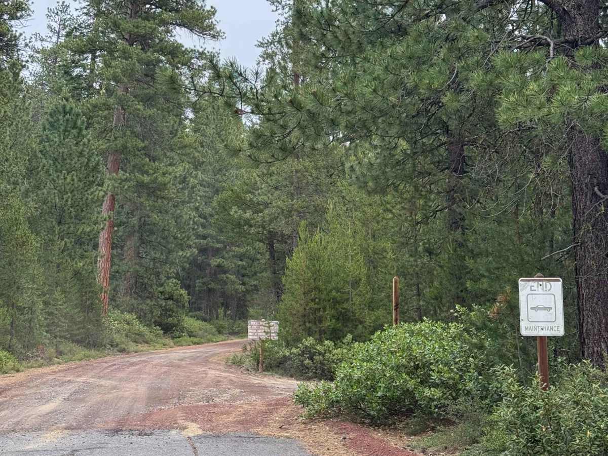
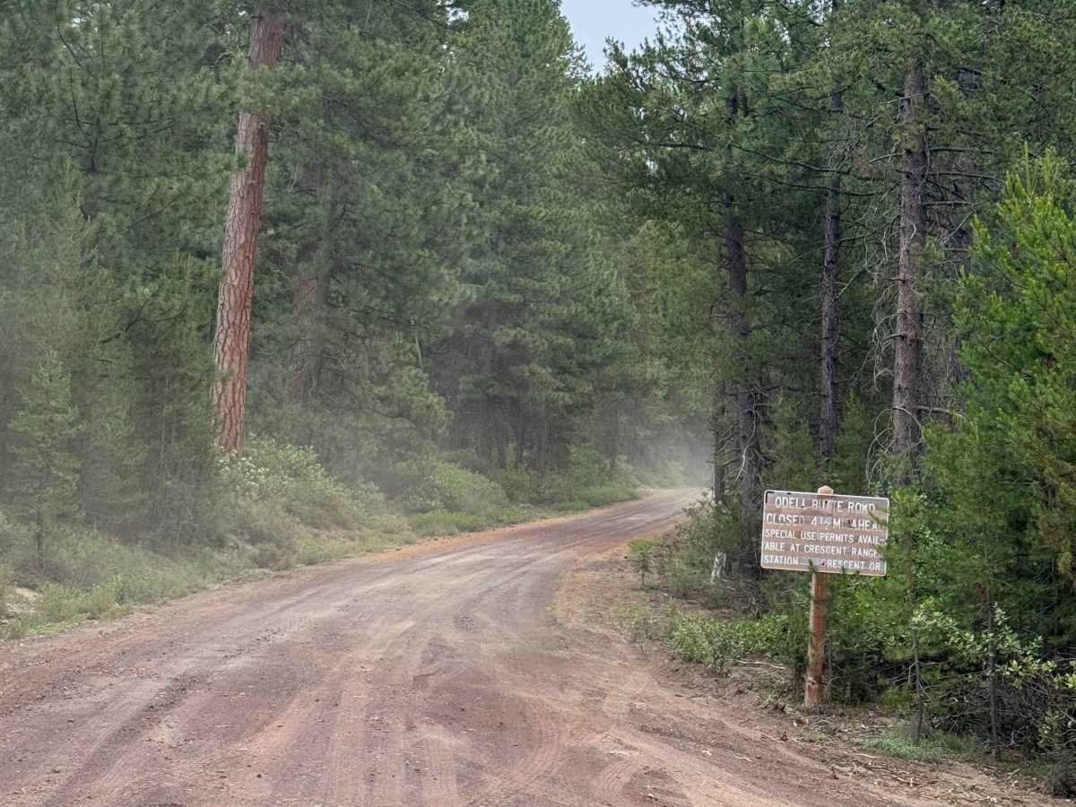
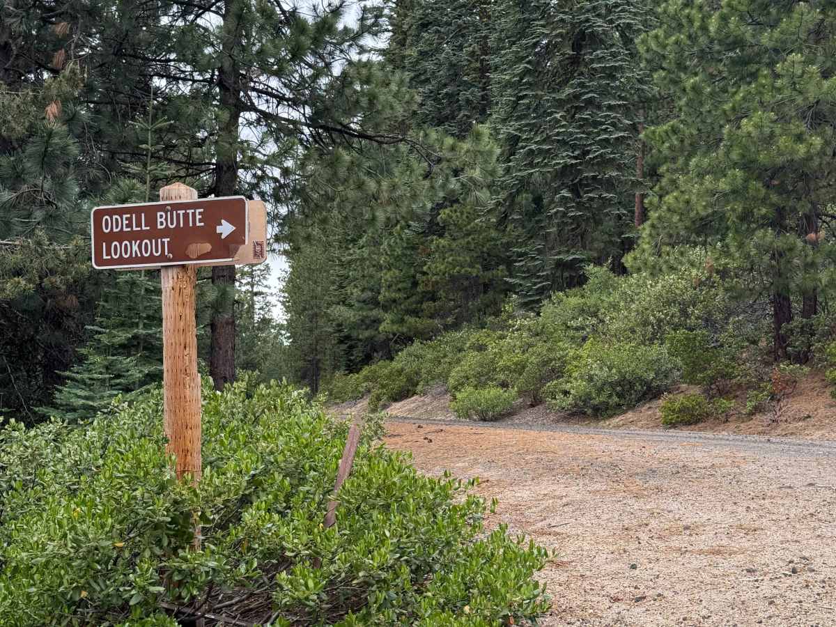
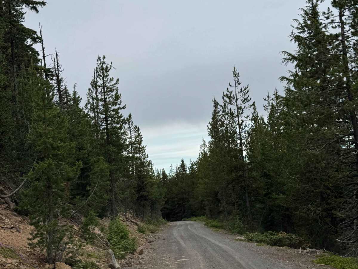
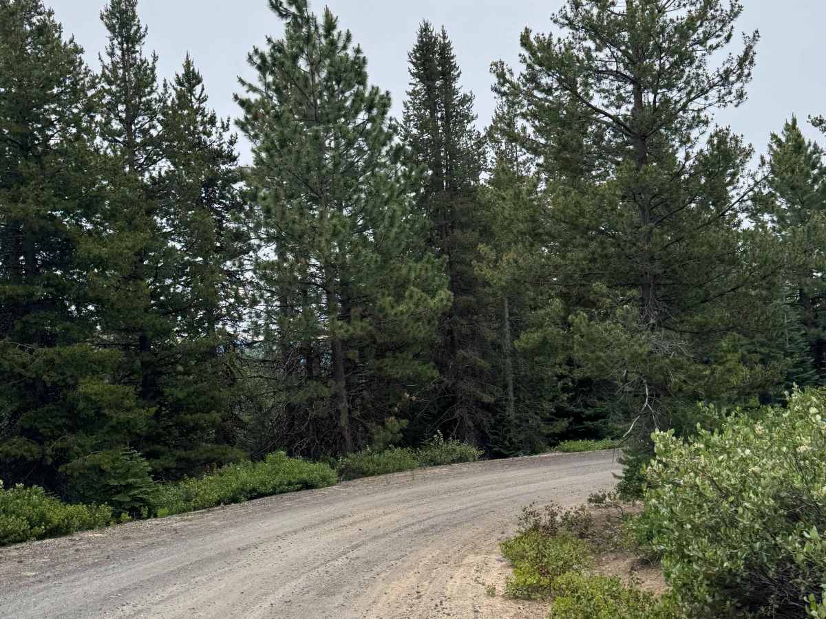
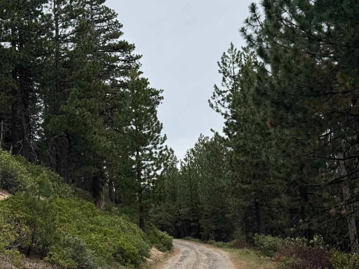
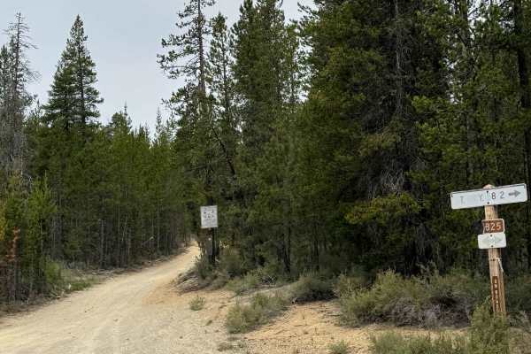
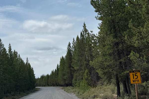
This is a gravel-based forest road that climbs over 2,000 feet in elevation from Highway 58 to the top of Odell Butte. At the top of the butte stands Odell Butte Lookout Tower, which is staffed in the summer, and there is a closed gate approximately 500 yards from the top. The trail starts off wide with a little washboard, but then for about a 2-mile section the trail becomes very narrow with overgrown vegetation. There are ruts and washouts up to a foot deep, and some sandy mixture sections in the narrow portion. The trail will widen again and complete its ascent to the top/closed gate, where there is a parking area for 3 to 4 cars. Camping is allowed along this entire trail, and cell phone service was decent. There are no amenities along the trail, and the nearest services and supplies will be in Crescent, Oregon, approximately 15 minutes away. This trail is suitable for any vehicle type.