FS 5825-000

Total Miles11.3
Technical Rating
2Easy
Best TimeSpring, Summer, Fall, Winter
Trail TypeFull-Width Road
Accessible By
Open Trail Map

Trail Overview

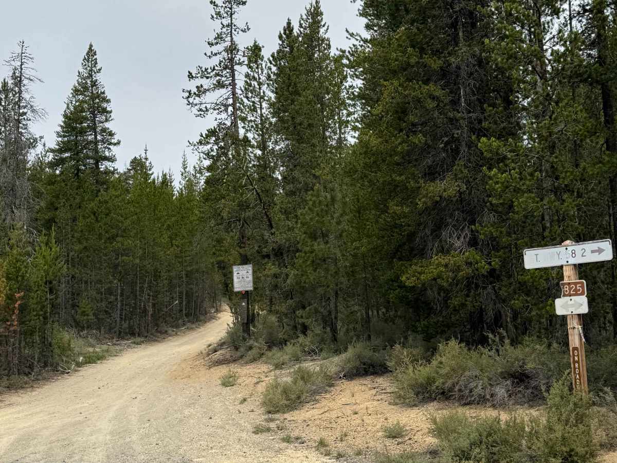
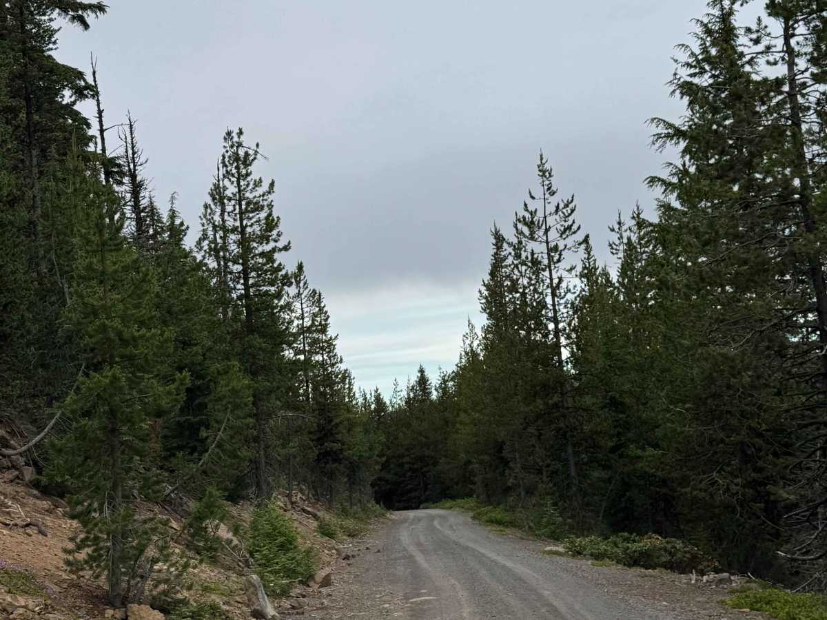
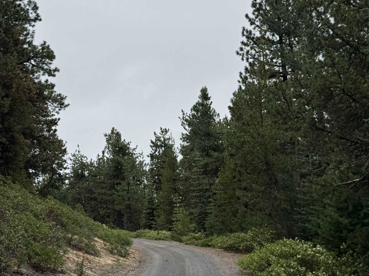
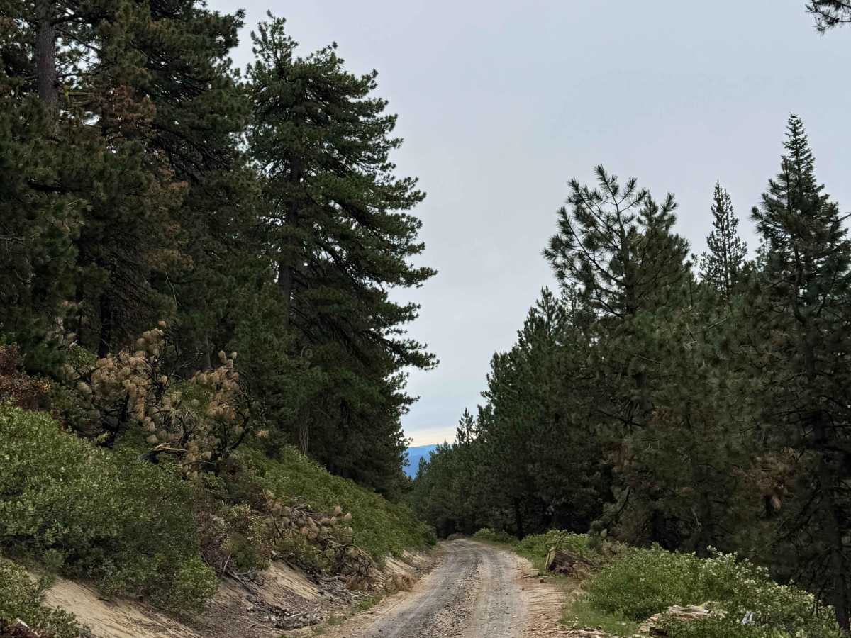
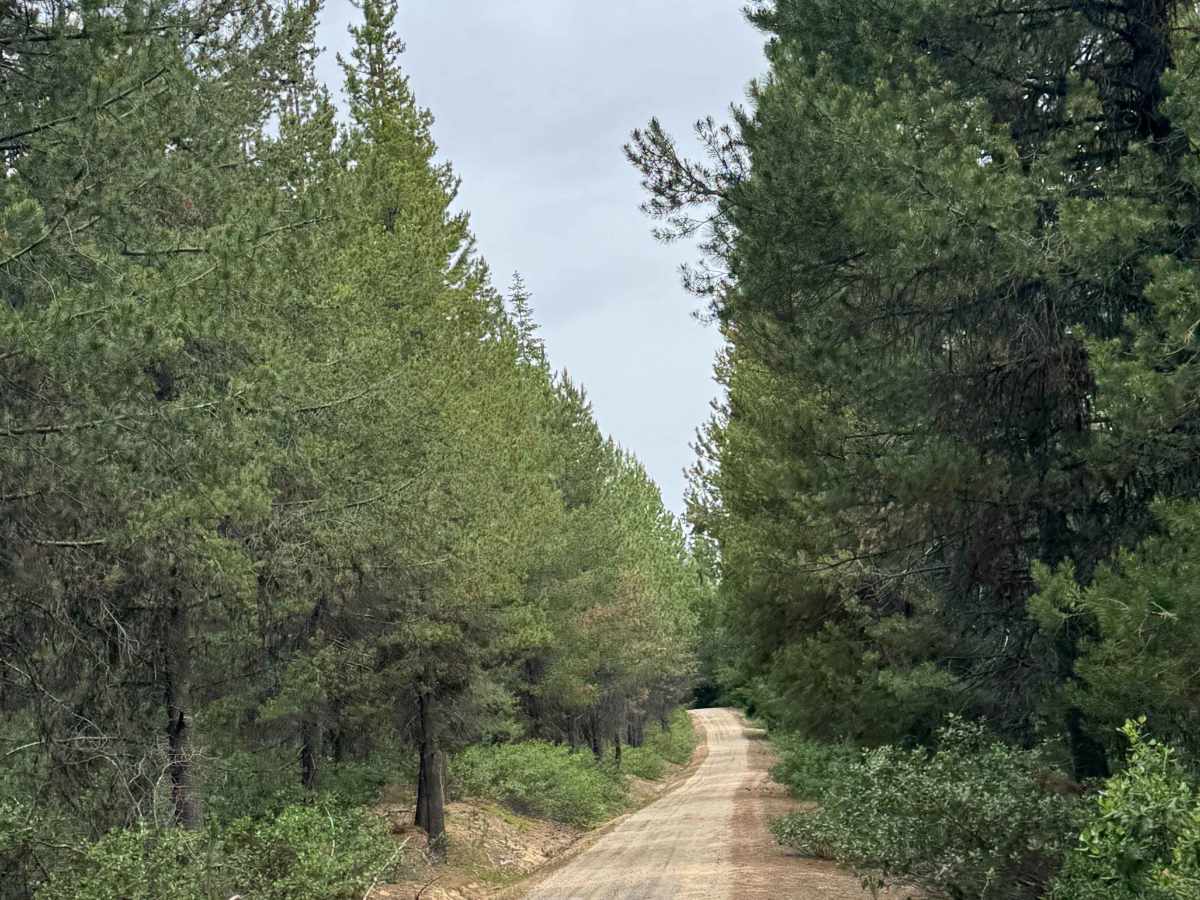
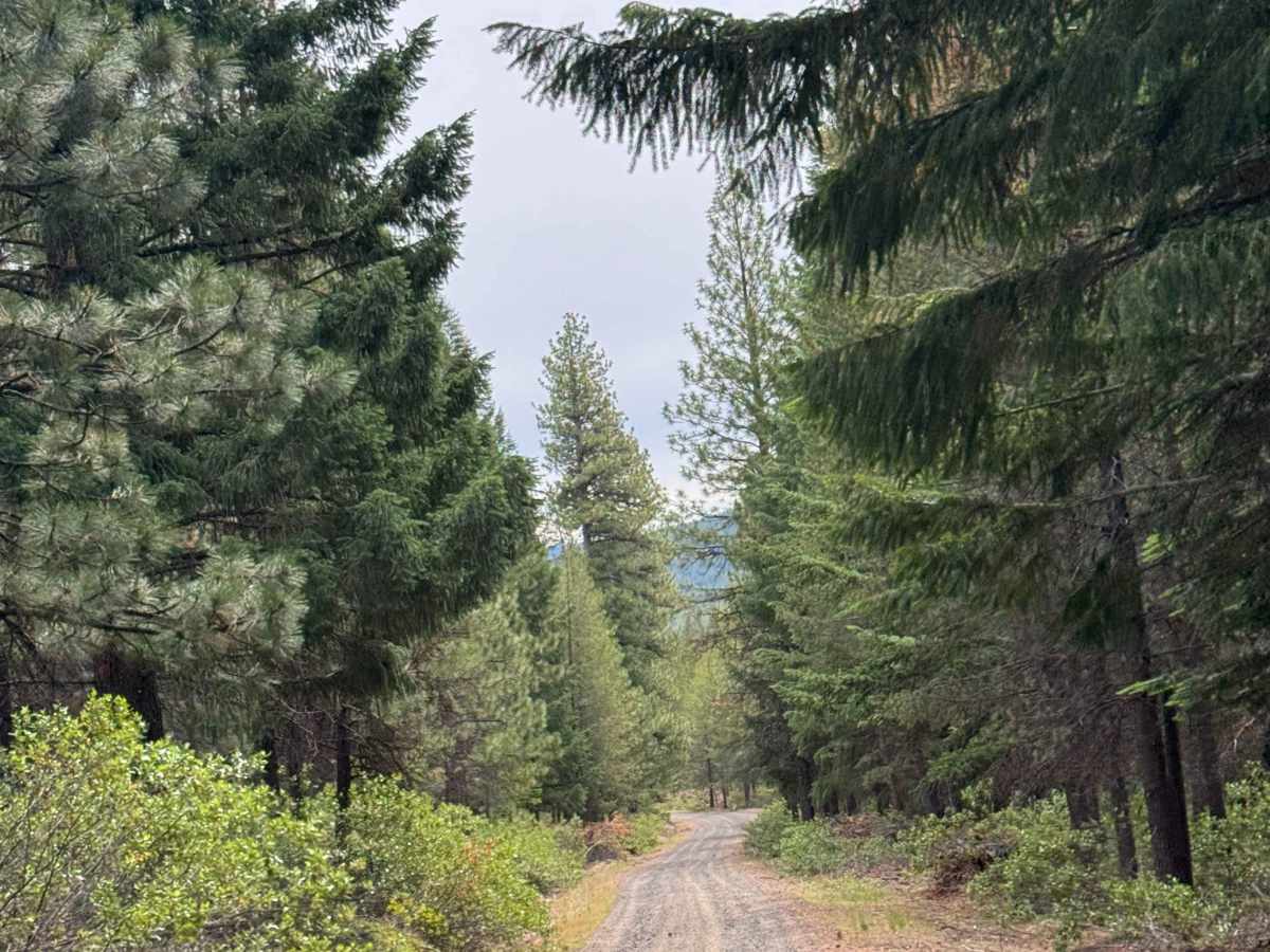
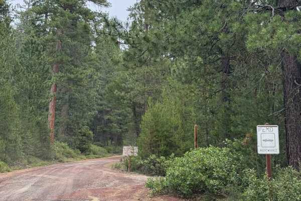
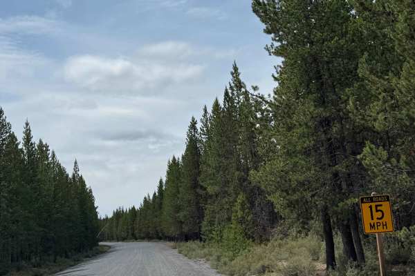
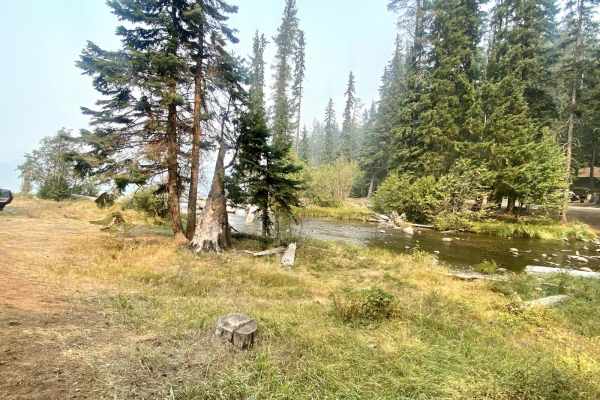
This is a gravel-based forest road in the Crescent OHV area. The trail is narrow with room to pass and has minor washboard along the trail. One small section of the trail is a smooth, sandy base, but it transitions back to gravel quickly. This trail is suitable for any vehicle type, and all types are allowed on this trail. Camping is allowed the entire length of this trail, and as the trail runs all the way to Muttonchop Butte, you will have views of the Cascade peaks in the distance and of Cowhorn Mountain. Cell phone service was weak along this trail, so travel prepared with all needed supplies. The nearest services are approximately 20 minutes from the beginning of this trail in Crescent or Chemult, Oregon.

Photos of FS 5825-000

Difficulty

Mostly gravel forest road in an OHV area with a mixture of sand in some places. Minor ruts and wash, suitable for all vehicle types.

Technical Rating

2

FS 5825-000 Trail can be accessed by the following ride types:

  • Single Track
  • 50 Inch
  • 60 Inch
  • High Clearance
  • Full Width

FS 5825-000 Map

The onX Offroad Difference

onX Offroad combines trail photos, descriptions, difficulty ratings, width restrictions, seasonality, and more in a user-friendly interface. Available on all devices, with offline access and full compatibility with CarPlay and Android Auto. Discover what you're missing today!

Open Trail Map