
Dirt Bike Trails
Near Challis, Idaho
Explore All Dirt Bike Trails Near Challis, Idaho
Dirt Bike Trails Near Challis, Idaho
Discover the best dirt bike trails near you. Browse trail maps, check difficulty ratings, and find your next adventure — whether you're looking for a quick ride or an all-day expedition.
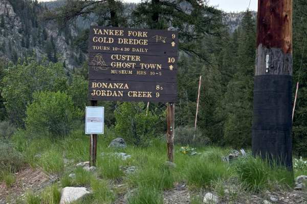
Custer Motorway (aka Yankee Fork Road)
The Custer Motorway is an approx 43-mile dirt road traveling the old Challis Bonanza Toll Road beginning at the Historic site of Sunbeam, Idaho, and ending in Challis, Idaho. The road starts as a wide well-maintained gravel road for approximately 10 miles to the historic mining town of Custer. Once ...
Learn more about Custer Motorway (aka Yankee Fork Road)
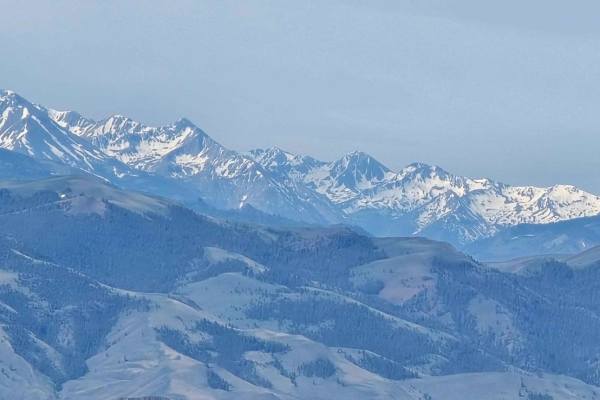
Challis to Spar Canyon via Lone Pine Peak
There are shorter ways to get to Spar Canyon on dirt from Challis, but this is, by far, the most beautiful way to get there. This 20-mile route takes you to just over 8000 feet of elevation on Lone Pine Peak. The trail is very steep in places, a bit off-camber in areas, and while it's wide enough fo...
Learn more about Challis to Spar Canyon via Lone Pine Peak
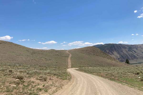
Leaton Gulch Up and Over Grouse Mountain
Tracks begin just east of the town of Challis, ID. Leaton Gulch Road (NF 111) climbs up steeply to the top of Grouse Mountain in the Pahsimeroi Mountains. This climb is about 3000 feet in elevation and features a narrow road with some tight switchbacks and steep climbs. Road is suitable for two-way ...
Learn more about Leaton Gulch Up and Over Grouse Mountain
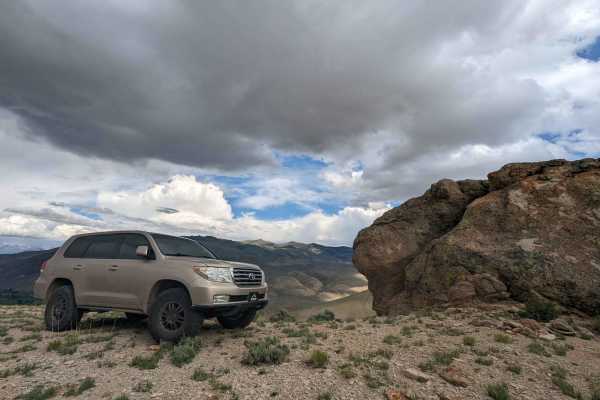
Old Stage Road - Salmon River Idaho
This track starts via a small and easy-to-miss turn to the West off of Highway 93. Immediately, the road turns to dirt and heads up a fairly steep grade. The road is a combination of soil and sand so despite recent rains there is very little mud. We chose to take a steep uphill turn off of the actua...
Learn more about Old Stage Road - Salmon River Idaho
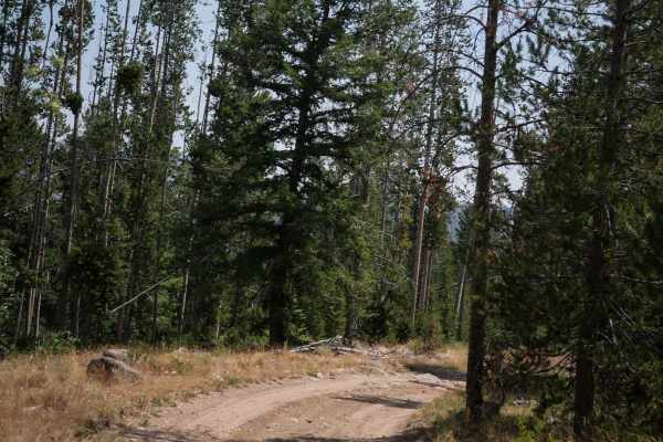
Challis Creek Road
This is an easy 10-mile route through the Challis National Forest that is a full-width graded road, accessible by any high-clearance vehicle. It goes north from the Custer Motorway, accesses Mosquito Flat Reservoir and Campground, and goes northeast for 10 miles until the intersection with Sleeping ...
Learn more about Challis Creek Road
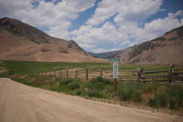
Sleeping Deer
This is an 8-mile segment of Sleeping Deer Road from the intersection with Challis Creek Road up to the turnoff for the Twin Peaks Lookout Tower. It starts off really easy, as a wide graded dirt road through some private property in some wide open low mountain valleys. It narrows up after the privat...
Learn more about Sleeping Deer
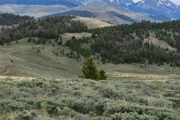
Lost River Range Loop
This 32.5-mile loop starts at the Leaton Gulch Up and Over Grouse Mountain trail, and runs south between the Lost River Range and the Pahsimeroi Range, taking you to the high point of just over 8400 feet. The climbs are steep in places, but the trails are good. Cattle are grazing here in the summer...
Learn more about Lost River Range Loop
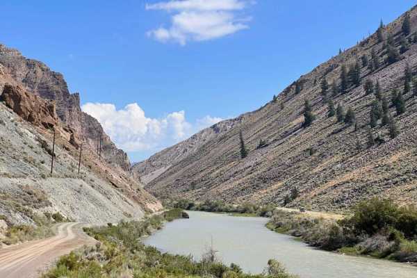
Dugway Trail
If you're looking to hop off the highway for a pretty view and find some river access, this trail has. The old iron bridge to drive across is a fun start or end to the trail. It is a one-lane bridge, though, so vehicles have to take turns to cross. The entire length of this trail follows along the r...
Learn more about Dugway Trail
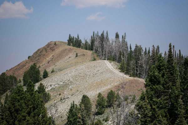
Fanny's Hole ATV
Fanny's Hole ATV trail is almost 5 miles long, starting on the south end at the Buster Lake Trailhead and going north to connect to Custer Motorway. The trailhead designates the trail for vehicles 50" or less. From the south, it's a wide two-track that gradually starts climbing up the hill into the ...
Learn more about Fanny's Hole ATV
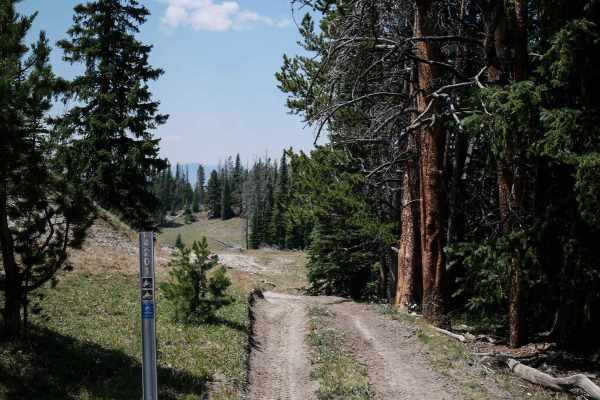
Beef Pasture ATV
Beef Pasture is one of the most accessible ATV trails in the small system of ATV trails accessed north of Clayton, Idaho. This one is vast, almost road width, with small loose rocks in the trail, but it is mostly smooth. There are no obstacles or ledges and hardly any rocks. It goes through a cattle...
Learn more about Beef Pasture ATV
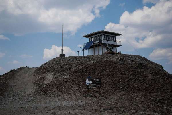
Twin Peaks Lookout Tower
The route up to the Twin Peaks Lookout Tower is a steep 2.3-mile climb, including 12 switchbacks, gaining 1,400 feet. It starts from Sleeping Deer Road and traverses the mountainside on a really shelfy road. It's one lane, with loose scree on the surface of the road, and it feels like you're climbin...
Learn more about Twin Peaks Lookout Tower
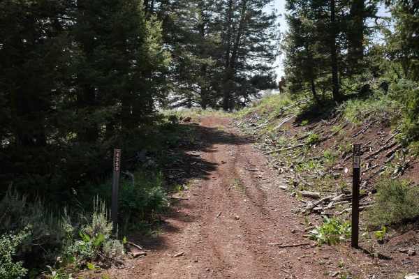
Leg Creek ATV
The Leg Creek ATV Trail is an easy 2.4-mile two-track through the Challis National Forest. It starts on Road 695 and winds its way through forest and hillsides to the intersection with Squaw Creek ATV, which is a much more challenging trail. It goes along a flat shelf path traversing the side of a m...
Learn more about Leg Creek ATV
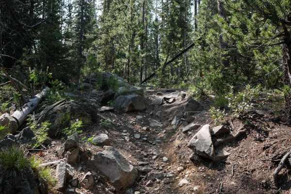
Buster Lake ATV
Buster Lake is a 4.4-mile long ATV Trail in the Challis National Forest between Stanley and Challis, Idaho. This trail has steep climbs and rocky sections that would be an intermediate challenge for ATVs, as well as several sections where the trail has narrowed up over time to look more like a singl...
Learn more about Buster Lake ATV
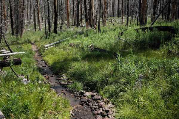
Squaw Creek
The Squaw Creek single track is 4 miles long, and is primarily an easy trail, except for several thin downed trees, sometimes elevated a foot above the ground, that have to be ridden over. Quite a few downed trees still need to be cut, which adds time and energy to your ride and could be significant...
Learn more about Squaw Creek
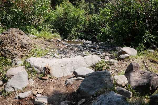
Squaw Creek ATV
Squaw Creek ATV trail is 2.5 miles long, starting from the trailhead at the end of Squaw Creek Road, north of Highway 75 from Clayton, Idaho. It begins as a wide two-track through the high desert/low alpine terrain full of sagebrush. The dirt trail starts climbing up the hillside immediately with lo...
Learn more about Squaw Creek ATV
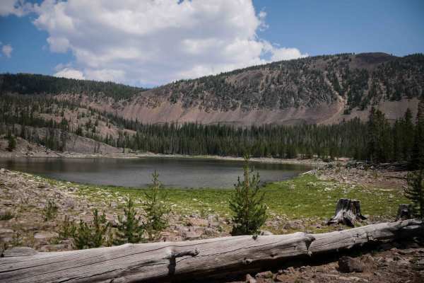
Challis Creek Lakes
Challis Creek Lakes is an advanced 4x4 route through the Challis National Forest that has long sections that are just completely full of hundreds of bowling ball-sized rocks, ruts, and troughs, making it slow and technical to navigate all the rocks. The trail starts from the Mosquito Flat Campground...
Learn more about Challis Creek Lakes
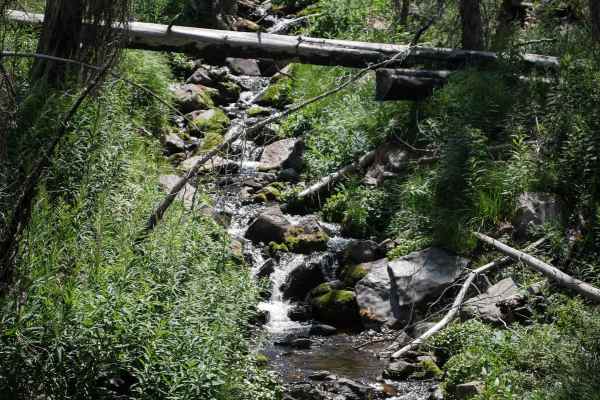
McKay - Eleven
McKay - Eleven is a more challenging single track in the Challis National Forest that connects Squaw Creek and Eleven Mile - Martin Creek. The northeast end starts on the Custer Motorway, on a dry hillside in tall pine trees. There is a ton of downfall here, and several logs are sticking out at acut...
Learn more about McKay - Eleven
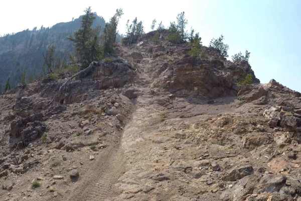
Peach-Cinnabar
The Peach-Cinnabar trail is a classic Idaho trail with significant challenges while climbing to Custer Lookout. When traveling from East to West, the trail has multiple sections of steep climbs with loose dirt and rocks. The penultimate climb is very steep and loose, with root obstacles as you climb...
Learn more about Peach-Cinnabar
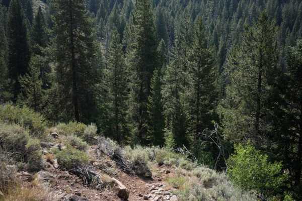
Eleven Mile - Martin Creek ATV
This is a 2.5-mile segment of trail that connects to the Eleven Mile - Martin Creek Singletrack. Although it's designated for vehicles 50" or less, sections of this trail have become narrow over time from mostly only being ridden by dirt bikers and would likely be too narrow now for an ATV. It looks...
Learn more about Eleven Mile - Martin Creek ATV
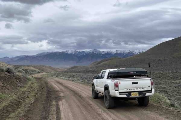
Spar Canyon
Spar Canyon provides access to a large number of trails in this area and serves as a graded smooth road to the area. While it's not paved, this trail is quite smooth and comfortable, especially once you are off the rock closer to the highway. Along this route, you can find spurs to trails, a couple ...
Learn more about Spar Canyon
ATV trails near Challis, Idaho
Explore ATV-friendly trails near you. These trails are accessible for vehicles up to 50 inches wide, perfect for ATVs and smaller off-road machines.
Custer Motorway (aka Yankee Fork Road)
The Custer Motorway is an approx 43-mile dirt road traveling the old Challis Bonanza Toll Road beginning at the Historic site of Sunbeam, Idaho, and ending in Challis, Idaho. The road starts as a wide well-maintained gravel road for approximately 10 miles to the historic mining town of Custer. Once ...
Learn more about Custer Motorway (aka Yankee Fork Road)
Challis to Spar Canyon via Lone Pine Peak
There are shorter ways to get to Spar Canyon on dirt from Challis, but this is, by far, the most beautiful way to get there. This 20-mile route takes you to just over 8000 feet of elevation on Lone Pine Peak. The trail is very steep in places, a bit off-camber in areas, and while it's wide enough fo...
Learn more about Challis to Spar Canyon via Lone Pine Peak
Leaton Gulch Up and Over Grouse Mountain
Tracks begin just east of the town of Challis, ID. Leaton Gulch Road (NF 111) climbs up steeply to the top of Grouse Mountain in the Pahsimeroi Mountains. This climb is about 3000 feet in elevation and features a narrow road with some tight switchbacks and steep climbs. Road is suitable for two-way ...
Learn more about Leaton Gulch Up and Over Grouse Mountain
Old Stage Road - Salmon River Idaho
This track starts via a small and easy-to-miss turn to the West off of Highway 93. Immediately, the road turns to dirt and heads up a fairly steep grade. The road is a combination of soil and sand so despite recent rains there is very little mud. We chose to take a steep uphill turn off of the actua...
Learn more about Old Stage Road - Salmon River Idaho
UTV/side-by-side trails near Challis, Idaho
Find UTV and side-by-side trails near you. These trails accommodate vehicles up to 60 inches wide, ideal for UTVs, side-by-sides, and wider off-road rigs.
Custer Motorway (aka Yankee Fork Road)
The Custer Motorway is an approx 43-mile dirt road traveling the old Challis Bonanza Toll Road beginning at the Historic site of Sunbeam, Idaho, and ending in Challis, Idaho. The road starts as a wide well-maintained gravel road for approximately 10 miles to the historic mining town of Custer. Once ...
Learn more about Custer Motorway (aka Yankee Fork Road)
Challis to Spar Canyon via Lone Pine Peak
There are shorter ways to get to Spar Canyon on dirt from Challis, but this is, by far, the most beautiful way to get there. This 20-mile route takes you to just over 8000 feet of elevation on Lone Pine Peak. The trail is very steep in places, a bit off-camber in areas, and while it's wide enough fo...
Learn more about Challis to Spar Canyon via Lone Pine Peak
Leaton Gulch Up and Over Grouse Mountain
Tracks begin just east of the town of Challis, ID. Leaton Gulch Road (NF 111) climbs up steeply to the top of Grouse Mountain in the Pahsimeroi Mountains. This climb is about 3000 feet in elevation and features a narrow road with some tight switchbacks and steep climbs. Road is suitable for two-way ...
Learn more about Leaton Gulch Up and Over Grouse Mountain
Old Stage Road - Salmon River Idaho
This track starts via a small and easy-to-miss turn to the West off of Highway 93. Immediately, the road turns to dirt and heads up a fairly steep grade. The road is a combination of soil and sand so despite recent rains there is very little mud. We chose to take a steep uphill turn off of the actua...
Learn more about Old Stage Road - Salmon River Idaho
The onX Offroad Difference
onX Offroad combines trail photos, descriptions, difficulty ratings, width restrictions, seasonality, and more in a user-friendly interface. Available on all devices, with offline access and full compatibility with CarPlay and Android Auto. Discover what you're missing today!
Open Trail Map