Challis Creek Lakes

Total Miles7.7
Technical Rating
6Moderate
Best TimeSummer, Fall
Trail TypeFull-Width Road
Accessible By
Open Trail Map

Trail Overview

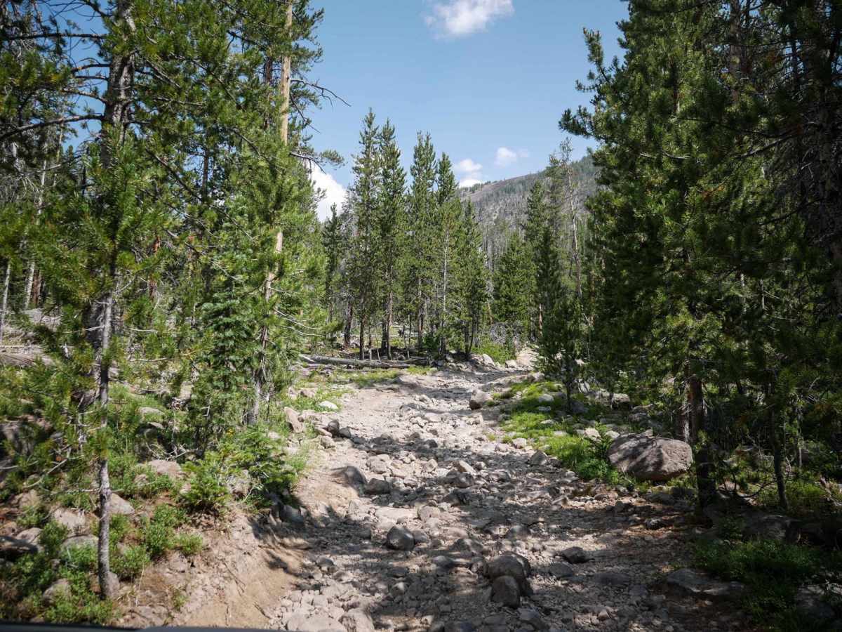
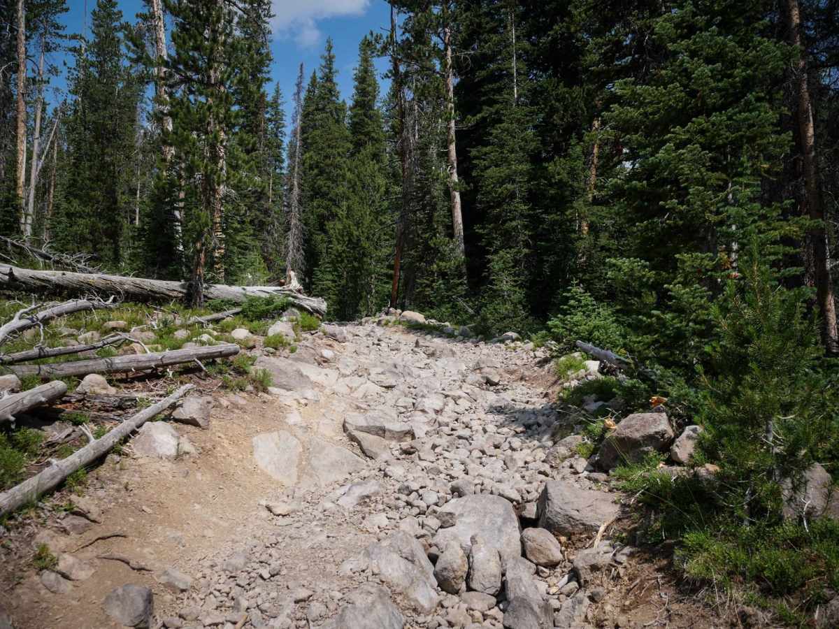
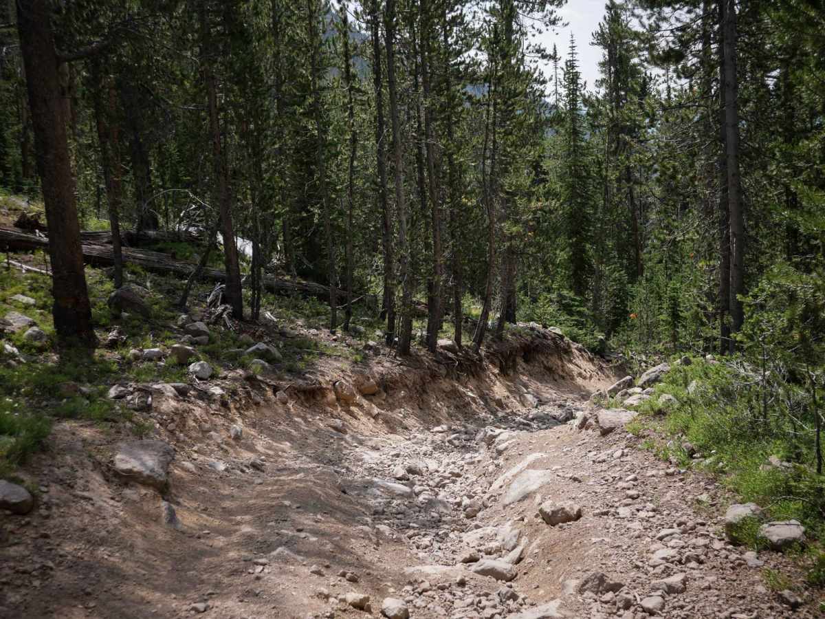
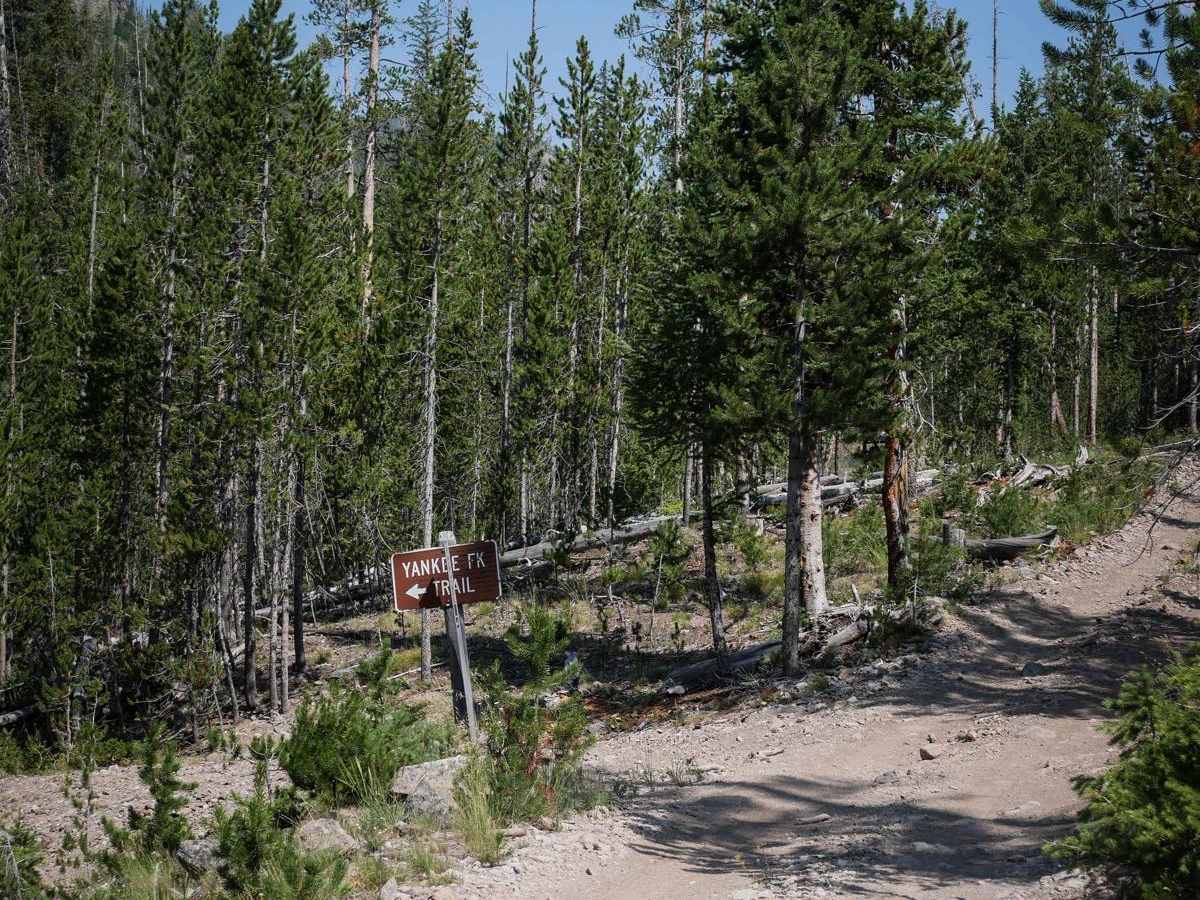
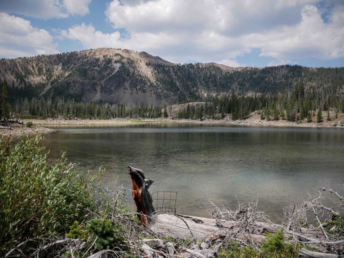
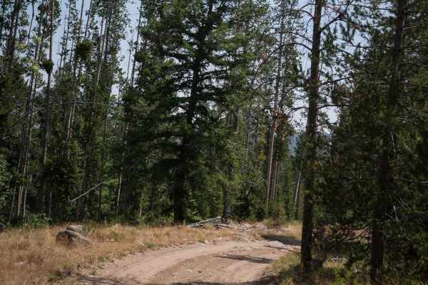
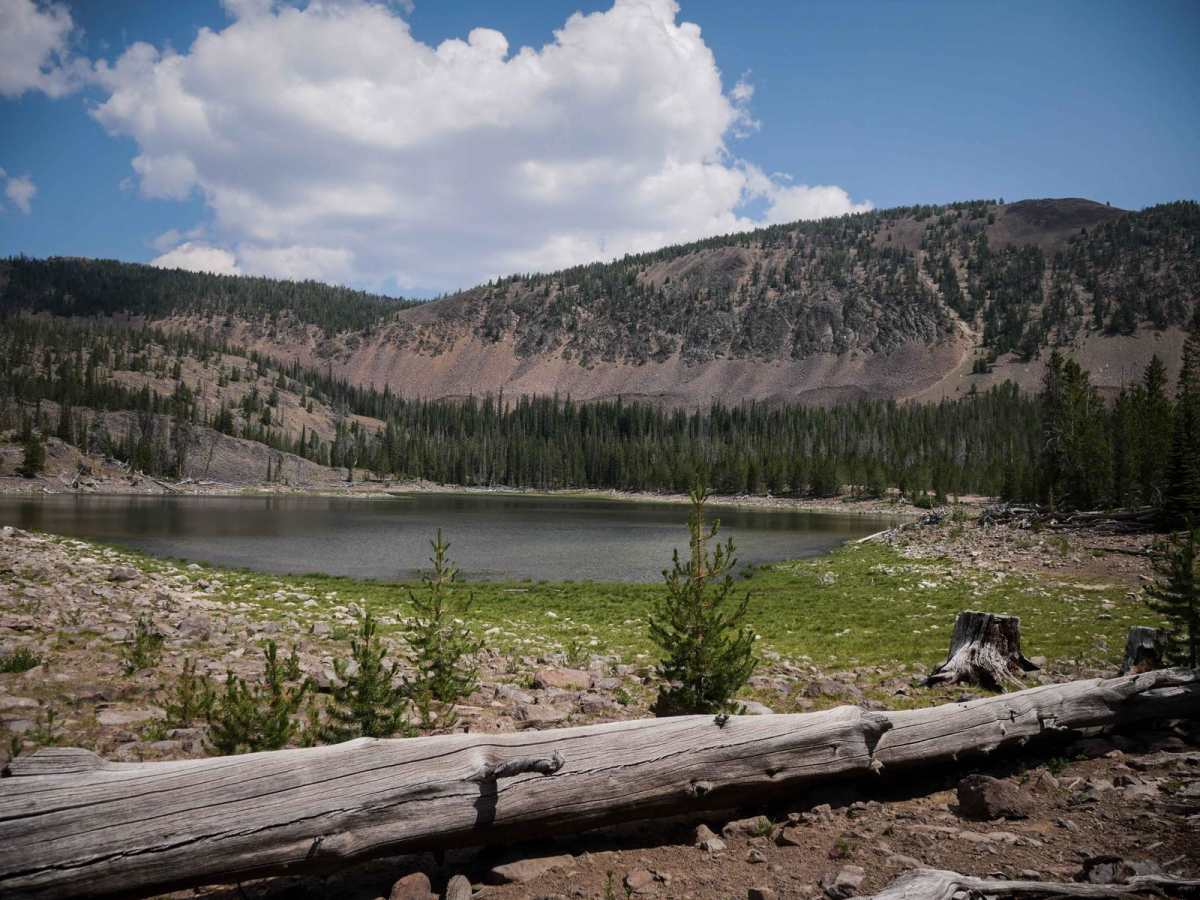
Challis Creek Lakes is an advanced 4x4 route through the Challis National Forest that has long sections that are just completely full of hundreds of bowling ball-sized rocks, ruts, and troughs, making it slow and technical to navigate all the rocks. The trail starts from the Mosquito Flat Campground, goes past the Mosquito Flat Reservoir, and climbs 2000 feet up to the Challis Creek Dam. The beginning is much easier. It starts out much smoother, with only small loose rocks and little stream crossings. It's narrow pretty much the whole way though, being one-laned, shelfy, and tight between the trees. This makes it especially more difficult in the rockier sections, as it has troughed S turns that are tight between a wall of trees. Sections are really steep, going straight up on loose marbles for several miles. About 2/3 of the way up, as of July 2024, there was a 2-foot wide log that was partially blocking the trail and would maybe make it impassible for full-width vehicles. The log was almost vertical, which made it hard to cut but created a really narrow pinch point. In the last stretch before the lake, there is a really steep climb for several hundred feet that will require being aggressive through the loose rock. The lake view at the top is really scenic, surrounded by mountains.

Photos of Challis Creek Lakes

Difficulty

While the beginning is easy, the majority of this trail is covered in big loose rocks, like bowling balls filling in a trough, making it an advanced difficulty for most 4x4 vehicles. This was a good challenge for a stock 1,000 RZR, requiring 4 low for the majority of the climbing, and took about an hour. This trail is probably most suitable for UTVs and dirt bikes as it was really narrow in spots.

Technical Rating

6

Status Reports

Add Status Report
Jay Rawlings
Aug 23, 2025
Open
DustyRough/Deteriorated
Chunky Monkey near the top
Butch McDaniel
Jul 09, 2025
2024 Polaris General XP 1000
Open
DustyRough/Deteriorated
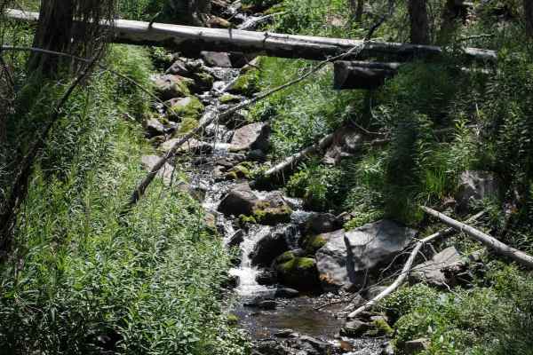
Starting out from Mosquito Flat Reservoir there were 4 SXS and a total of 8 people. The road starts out very easy and works its way up a draw. The further we climbed we started crossing shallow creeks. The further we climbed the road started getting more narrow and rocky. Within a mile or so from the lakes the road gets very steep in places and larger rocks cover the road. You just have to pick your path. One of the SXS with us was a RZR 570 and the driver didn’t feel comfortable going any further so he turned around. We don’t leave anyone behind so we didn’t go all the way to the lakes but hopefully we’ll have the opportunity next year.
Erin Gutish
Jul 02, 2025
2022 Sherco 300 SEF
Open
DustyMuddy/Wet
Definitely difficult on a dirtbike, but doable! I'm a women's b/c level rider and I was able to complete the trail but not without a few tip overs! The majority of the trail is great, some rocky sections but nothing major. The last mile and a half or so if a different story. It is just rocky uphills until you reach the lake. One section is basically a stream, so all the rocks are pretty wet. The trail was fun, but be aware!
PETE APPLE
Oct 12, 2024
2023 Can-Am Maverick X3
Open
DustyRough/Deteriorated
WE GAVE THIS A 4 ONLY BECAUSE OF THE ROCK AREAS WERE STEEP AND LOOSE

Challis Creek Lakes Trail can be accessed by the following ride types:

  • Single Track
  • 50 Inch
  • 60 Inch
  • High Clearance
  • Full Width

Challis Creek Lakes Map

The onX Offroad Difference

onX Offroad combines trail photos, descriptions, difficulty ratings, width restrictions, seasonality, and more in a user-friendly interface. Available on all devices, with offline access and full compatibility with CarPlay and Android Auto. Discover what you're missing today!

Open Trail Map