Challis Creek Road

Total Miles9.9
Technical Rating
1Easy
Best TimeSummer, Fall
Trail TypeFull-Width Road
Accessible By
Open Trail Map

Trail Overview

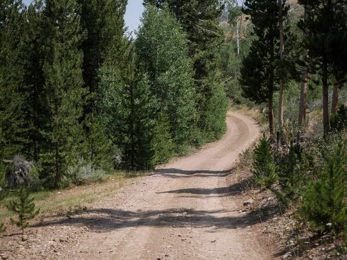
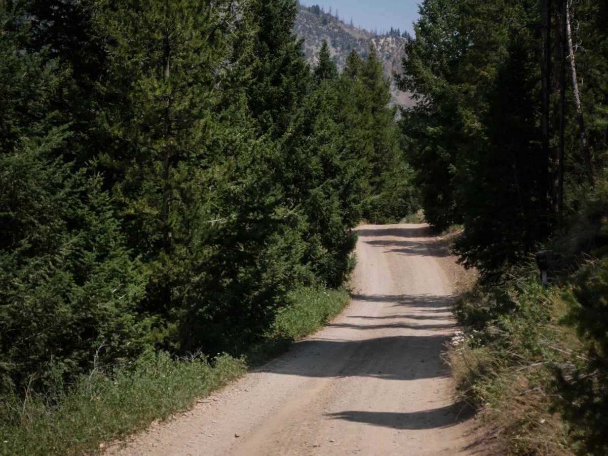
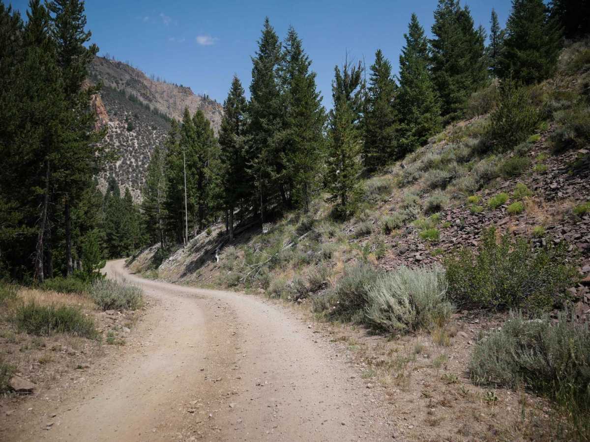
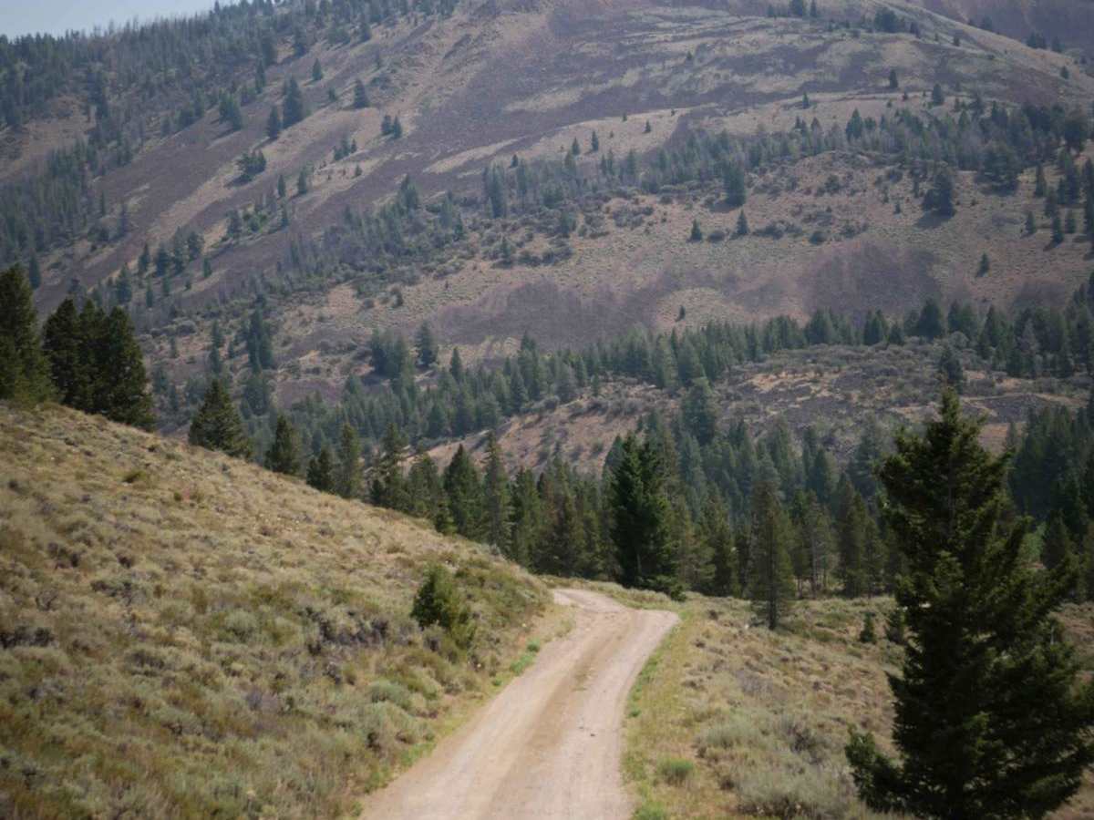
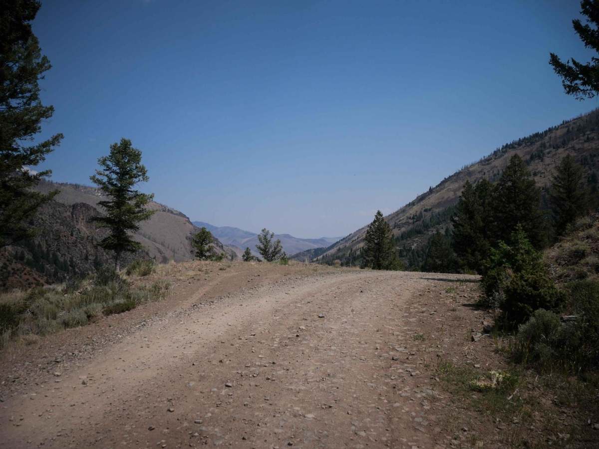
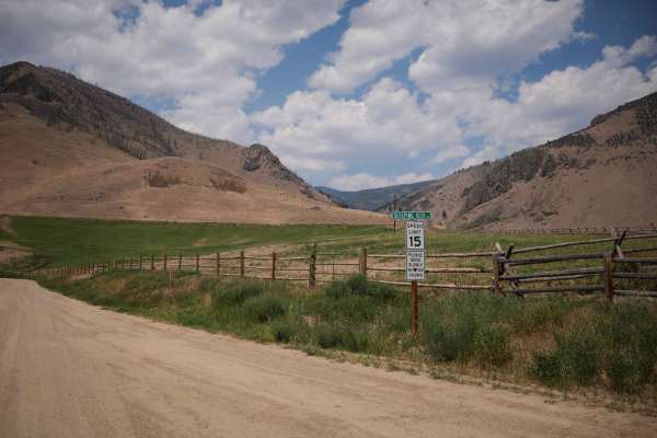
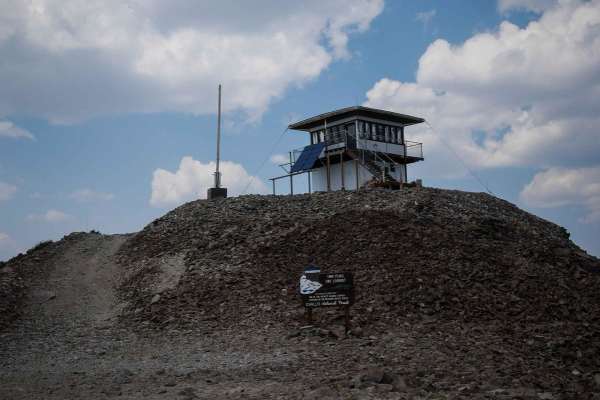
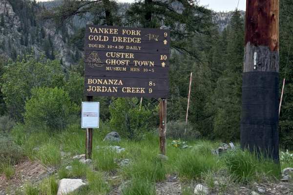
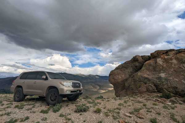
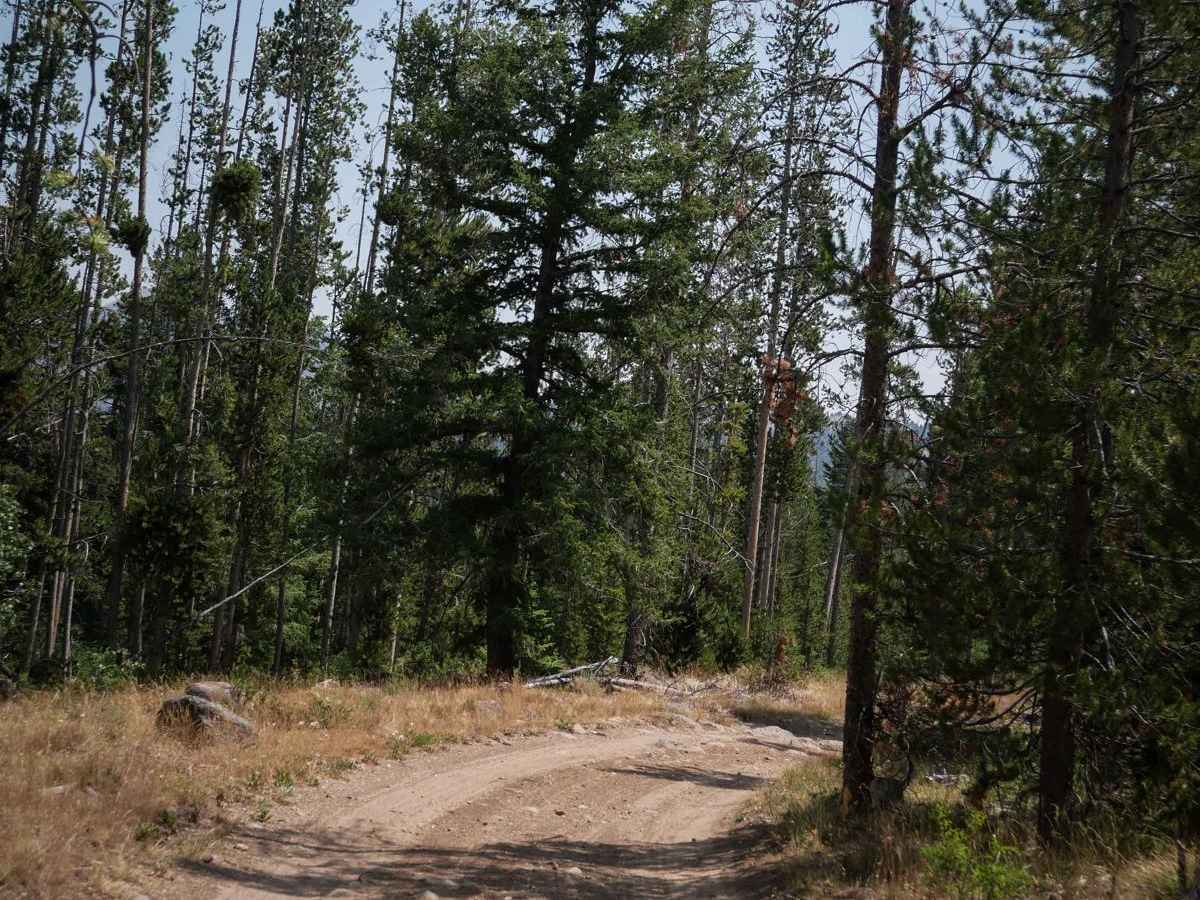
This is an easy 10-mile route through the Challis National Forest that is a full-width graded road, accessible by any high-clearance vehicle. It goes north from the Custer Motorway, accesses Mosquito Flat Reservoir and Campground, and goes northeast for 10 miles until the intersection with Sleeping Deer Road. It's mostly smooth and graded the whole way, with small loose rocks and gravel. There's a 6-inch deep creek crossing over smooth river rocks, and a cattle guard, and shelfier sections as it traverses the hillsides. The views are really nice the whole way of the surrounding mountains. This route will most likely be taken by those exploring up to the Twin Peaks Lookout Tower or as a scenic backway from Challis to the Custer Ghost Town, or by dirt bikers accessing the single track north of this road. It's overall easy with no obstacles.

Photos of Challis Creek Road

Difficulty

This is an easy graded road with no obstacles that is accessible for most any 4wd high clearance vehicles.

Technical Rating

1

Status Reports

Add Status Report
Andy Wickham
Sep 14, 2025
2017 Jeep Wrangler
Open
Only drove the first half of the trail from Custer Motorway to Mosquito Lake. When dry, passable for more passenger vehicles, but a little steep in places and a crossover or AWD would be a better suited. The lake and campsite are very scenic and quiet.

Challis Creek Road Trail can be accessed by the following ride types:

  • Single Track
  • 50 Inch
  • 60 Inch
  • High Clearance
  • Full Width

Challis Creek Road Map

The onX Offroad Difference

onX Offroad combines trail photos, descriptions, difficulty ratings, width restrictions, seasonality, and more in a user-friendly interface. Available on all devices, with offline access and full compatibility with CarPlay and Android Auto. Discover what you're missing today!

Open Trail Map