Sleeping Deer

Total Miles8
Technical Rating
2Easy
Best TimeSummer, Fall
Trail TypeFull-Width Road
Accessible By
Open Trail Map

Trail Overview

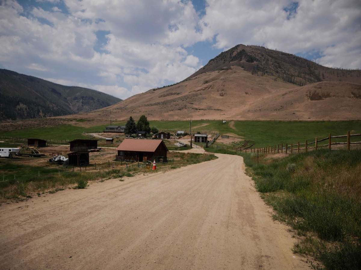
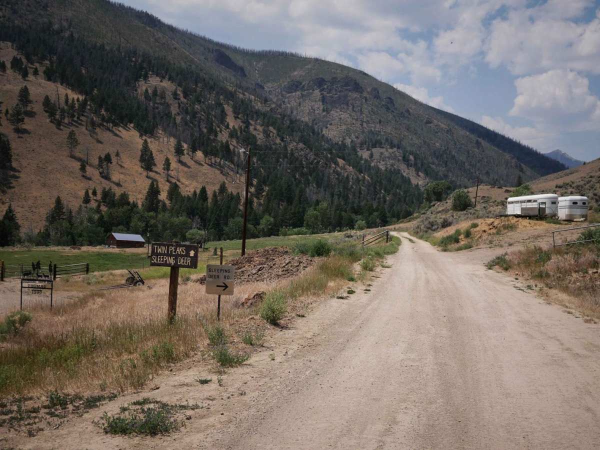
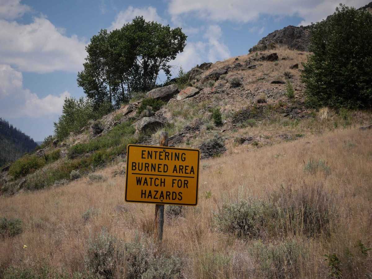
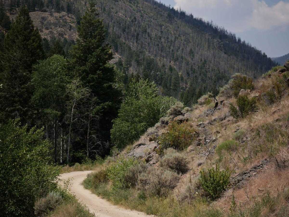
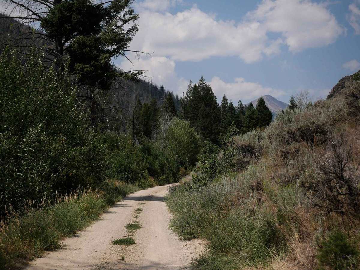
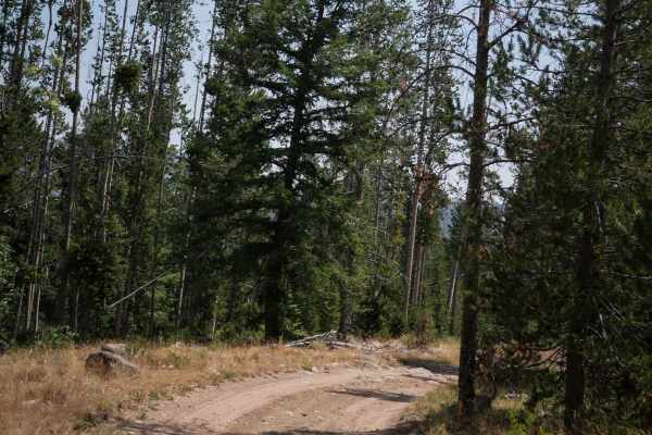
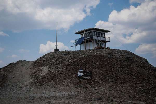
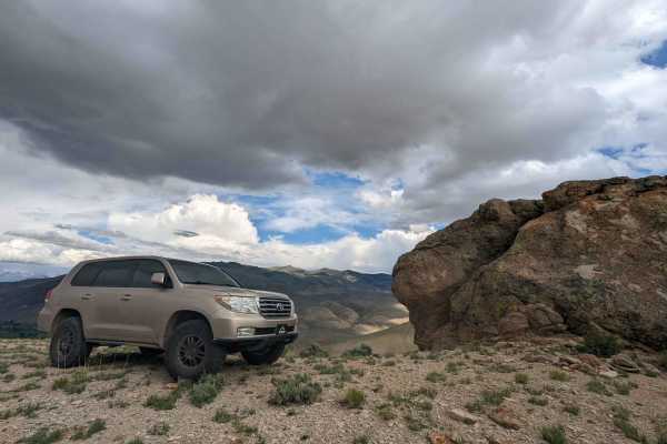
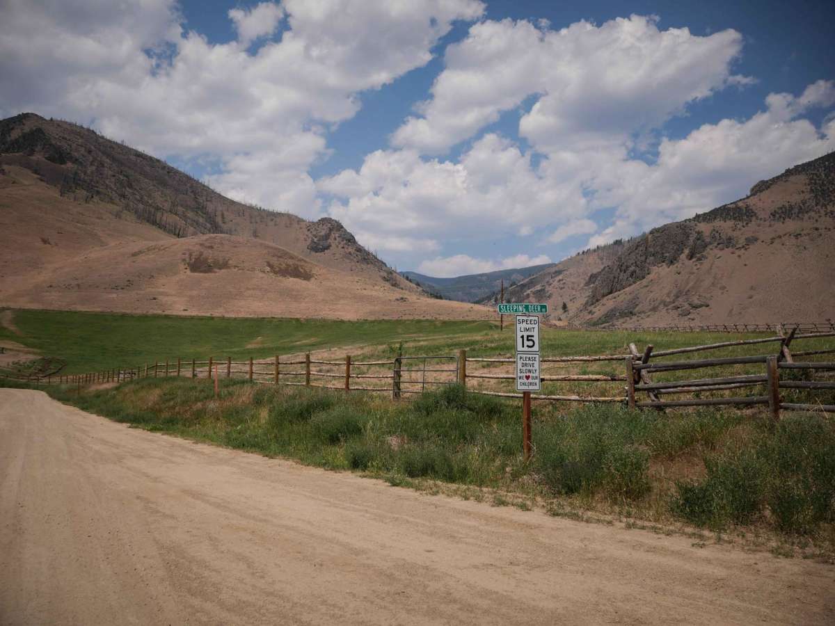
This is an 8-mile segment of Sleeping Deer Road from the intersection with Challis Creek Road up to the turnoff for the Twin Peaks Lookout Tower. It starts off really easy, as a wide graded dirt road through some private property in some wide open low mountain valleys. It narrows up after the private property and enters the pine forest. It's a constant and steady incline the whole way from east to west, gaining almost 3,200 feet in elevation. The road becomes less maintained, with lots of small pieces of rock, a few more ruts, uneven surfaces, and embedded rocky surfaces. There aren't any specific obstacles, but the road is narrow and shelfy as it traverses up the mountainside. It's one lane for the majority of the route, although there were pull-offs to pass another vehicle. You can see the Twin Peaks Lookout Tower as you get farther north, and go past a few old miner's cabins.

Photos of Sleeping Deer

Difficulty

This is an easier full-width route that has shelfy and narrow sections, and uneven rocks and ruts in the surface, but no significant obstacles. High clearance is advised.

Technical Rating

2

Sleeping Deer Trail can be accessed by the following ride types:

  • Single Track
  • 50 Inch
  • 60 Inch
  • High Clearance
  • Full Width

Sleeping Deer Map

The onX Offroad Difference

onX Offroad combines trail photos, descriptions, difficulty ratings, width restrictions, seasonality, and more in a user-friendly interface. Available on all devices, with offline access and full compatibility with CarPlay and Android Auto. Discover what you're missing today!

Open Trail Map