Trail Overview
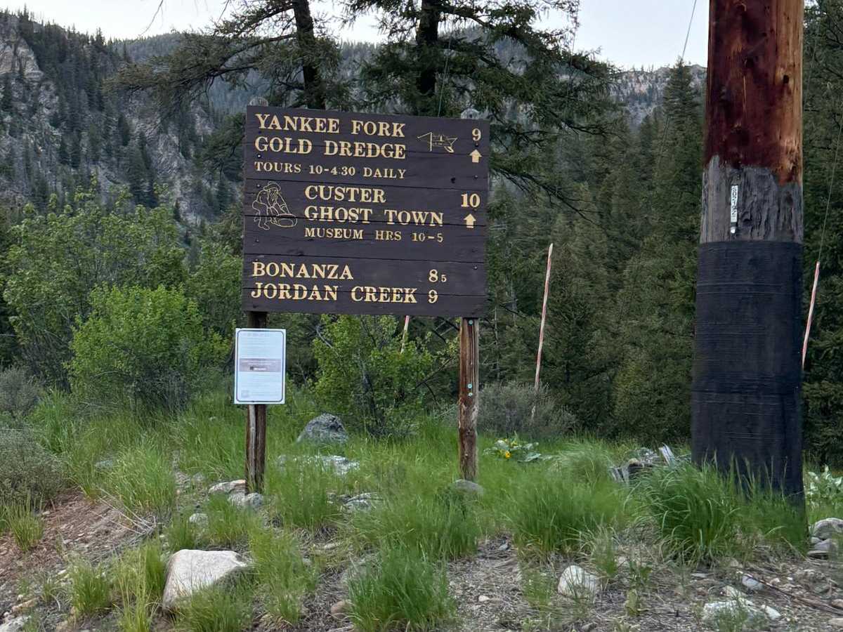
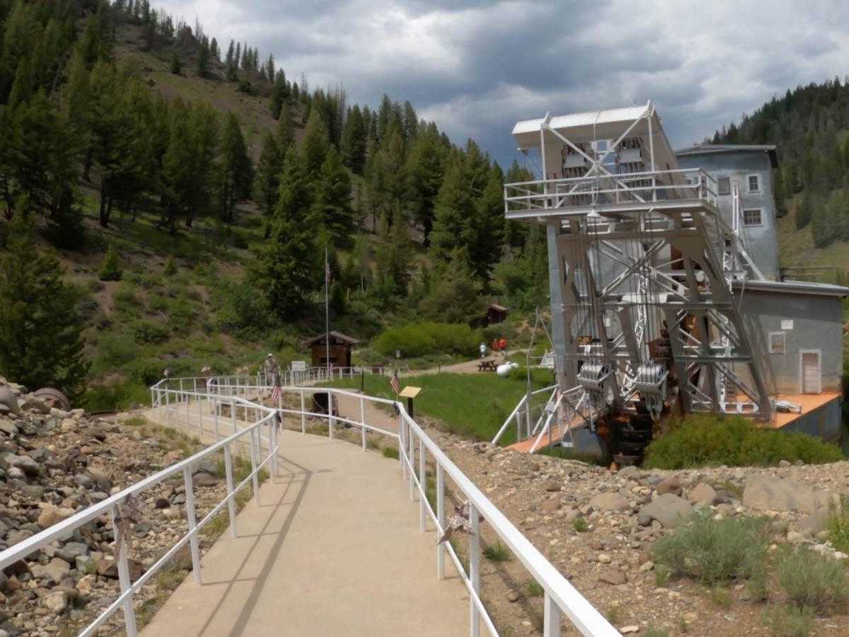
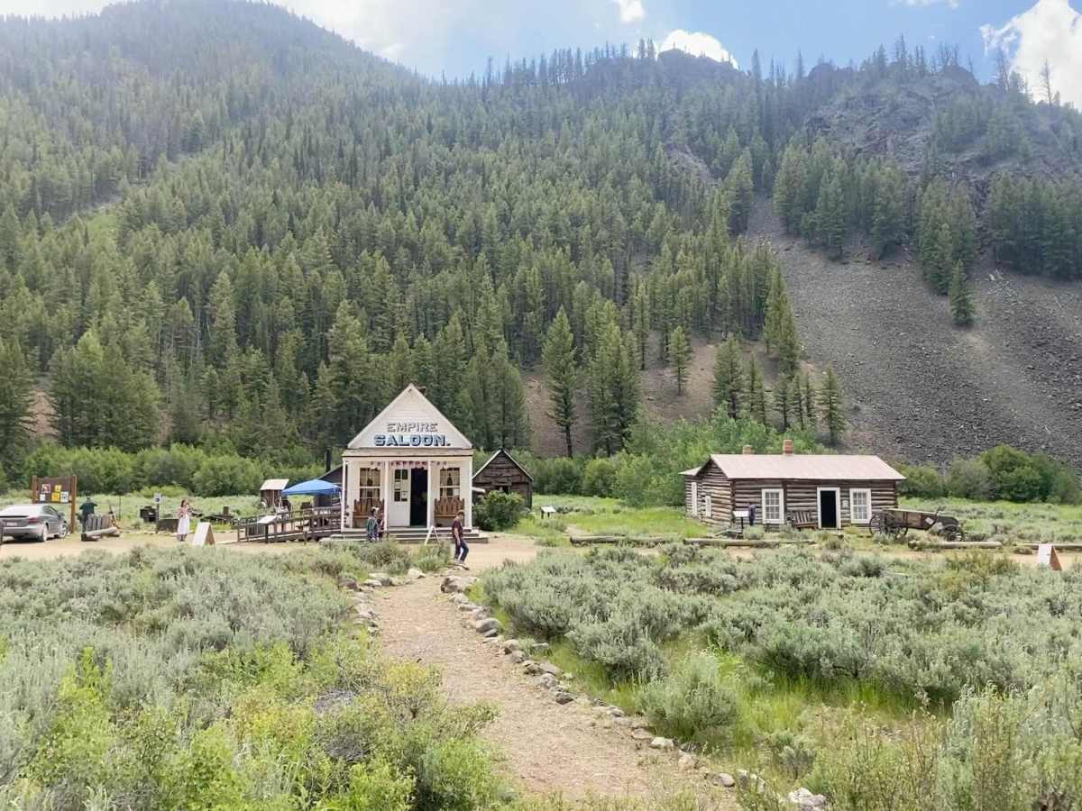
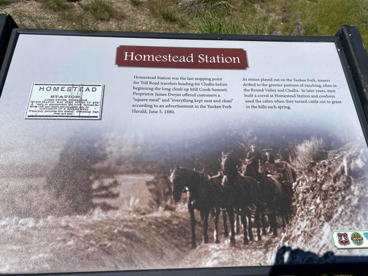
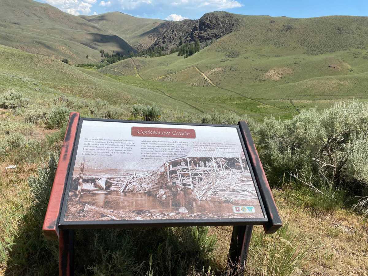
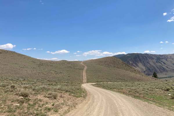
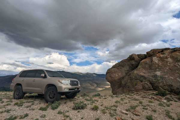
The Custer Motorway is an approx 43-mile dirt road traveling the old Challis Bonanza Toll Road beginning at the Historic site of Sunbeam, Idaho, and ending in Challis, Idaho. The road starts as a wide well-maintained gravel road for approximately 10 miles to the historic mining town of Custer. Once you leave Custer and head north the road becomes rough, rocky, and unmaintained requiring high clearance 4x4 vehicle. At this point, you may encounter down trees, washouts, and snow depending on the time of year. Plan for most of a day to explore depending on how long you stay at each site and how long it can take to drive the entirety of the road. Along the entire 43-mile adventure are numerous historical markers including the historic towns of Bayhorse and Custer, the Yankee Fork Dredge, and the remains of toll stops along the old road. The road starts along the Yankee Fork River which are spawning grounds for Chinook Salmon. Along the way are numerous tailing ponds with crazy blue colors due to the minerals. At approximately mile 8.5 is the old town of Bonanza and if you are interested a side excursion to the Bonanza Cemetery. Just after Bonanza is the historic Yankee Fork Dredge. The dredge offers tours daily from roughly Memorial Day to Labor from 10 am to 4:30 and costs $5 as of 6/2024. If you have the time this is definitely a worthwhile stop. After the dredge, you will reach the historic town of Custer. There is a walking tour of Custer that will show you where many of the buildings stood along with the history of those still standing. Tip - if you can visit during Custer Days it is a neat experience as most of the buildings are open along with Shootouts, homemade ice cream, butter churning, and gold panning. After leaving the townsite of Custer, the road becomes narrow, rough, and rocky but offers amazing views including the historic Custer Cemetery. Stops include Eleven Mile Barn, Twelve Mile Station, Homestead Station, and Corkscrew Grade. You can also make a side trip to Mosquito Flat Reservoir. If you are looking for a trip into Idaho's mining history this is the trip for you. Please recreate responsibly, pack it in, pack it out. Be prepared once leaving Custer you are entering Idaho's backcountry where conditions can be unpredictable.
Difficulty
The first 10 miles to Custer the road is wide and well maintained. After leaving Custer the road becomes narrow, rough, and rocky. Be prepared for down trees, washouts, and snow depending on the time of year.
History
See Salmon Challis National Forest website for descriptions of the stops. https://www.fs.usda.gov/detail/scnf/about-forest/districts/?cid=fsbdev3_029695

 Offroad