Leaton Gulch Up and Over Grouse Mountain

Total Miles19.4
Technical Rating
5Moderate
Best TimeFall, Summer, Spring
Trail TypeFull-Width Road
Accessible By
Open Trail Map

Trail Overview

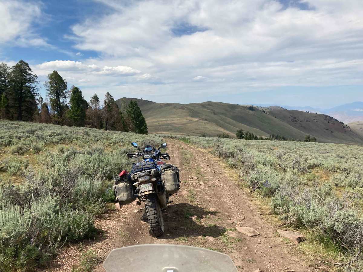
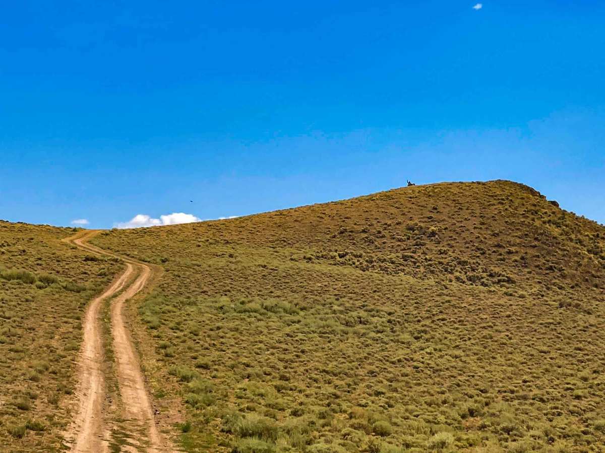
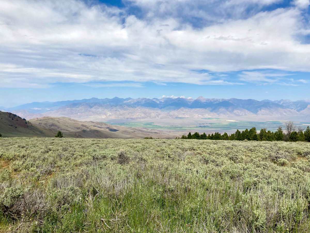
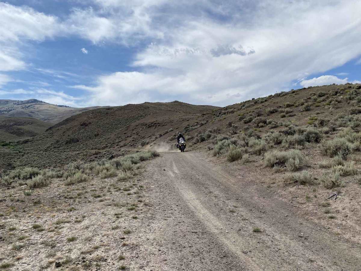
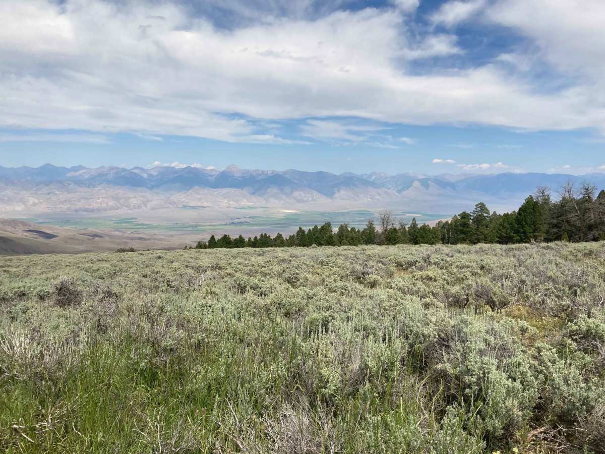
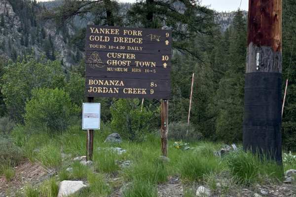
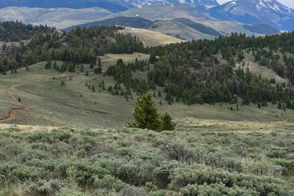
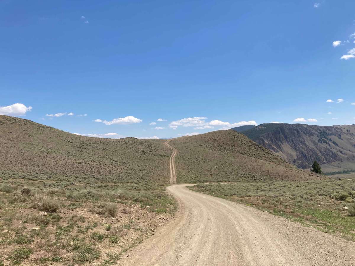
Tracks begin just east of the town of Challis, ID. Leaton Gulch Road (NF 111) climbs up steeply to the top of Grouse Mountain in the Pahsimeroi Mountains. This climb is about 3000 feet in elevation and features a narrow road with some tight switchbacks and steep climbs. Road is suitable for two-way traffic (pullouts in some areas). Views from the top are excellent on a clear day with the Salmon Mountains off in the distance to the West and the Pahsimeroi Valley off to the East. The upper section leading up and over the top can be rocky and narrow. It also contains some larger, chunky rock and off camber sections. Once over the top the east side opens up to faster gravel surfaced roads. Be on the lookout for pronghorn in this area as they are prolific. There are also several up and back offshoots of the road that lead up to picturesque viewpoints. This trail can be run in either direction without issue.

Photos of Leaton Gulch Up and Over Grouse Mountain

Difficulty

Moderate rating is due to the upper section's narrowing trail and the abundance of loose, large rocks (10+ inches). In several areas the road is off camber as well. Once over the top the road opens up again to a nice, easily traversed gravel road.

Technical Rating

5

Status Reports

Add Status Report
Butch McDaniel
Jul 25, 2024
2021 Honda Pioneer 1000
Open
Dusty
Very nice views once you’re on top of Grouse Mountain area. There’s a few towers on top. One has a rocky road but still very accessible. Driving over the top it opens up into another huge valley. Cold springs appear out of the sides of mountains. Fun ride

Leaton Gulch Up and Over Grouse Mountain Trail can be accessed by the following ride types:

  • Single Track
  • 50 Inch
  • 60 Inch
  • High Clearance
  • Full Width

Leaton Gulch Up and Over Grouse Mountain Map

The onX Offroad Difference

onX Offroad combines trail photos, descriptions, difficulty ratings, width restrictions, seasonality, and more in a user-friendly interface. Available on all devices, with offline access and full compatibility with CarPlay and Android Auto. Discover what you're missing today!

Open Trail Map