Lost River Range Loop

Total Miles31.2
Technical Rating
2Easy
Best TimeSummer, Fall
Trail TypeFull-Width Road
Accessible By
Open Trail Map

Trail Overview

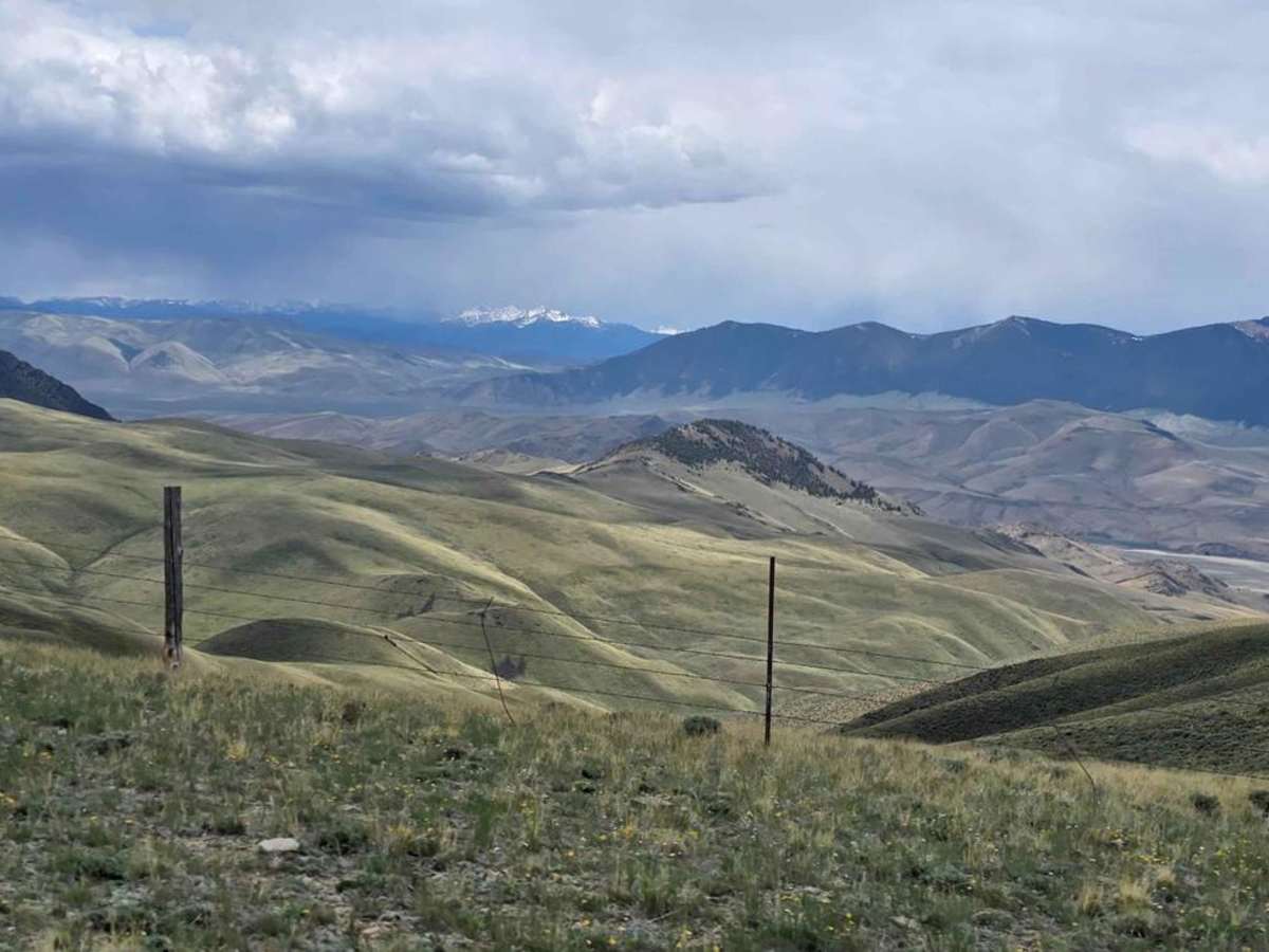
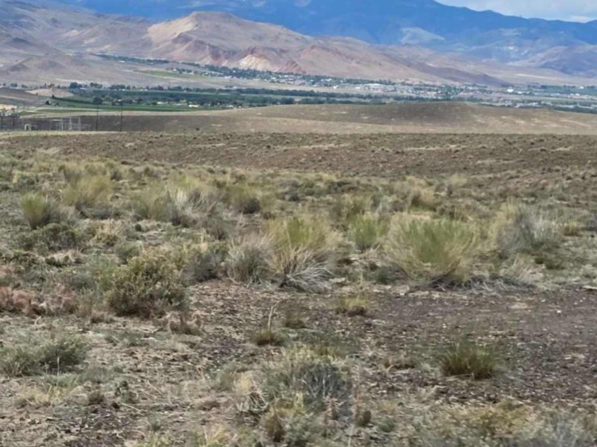
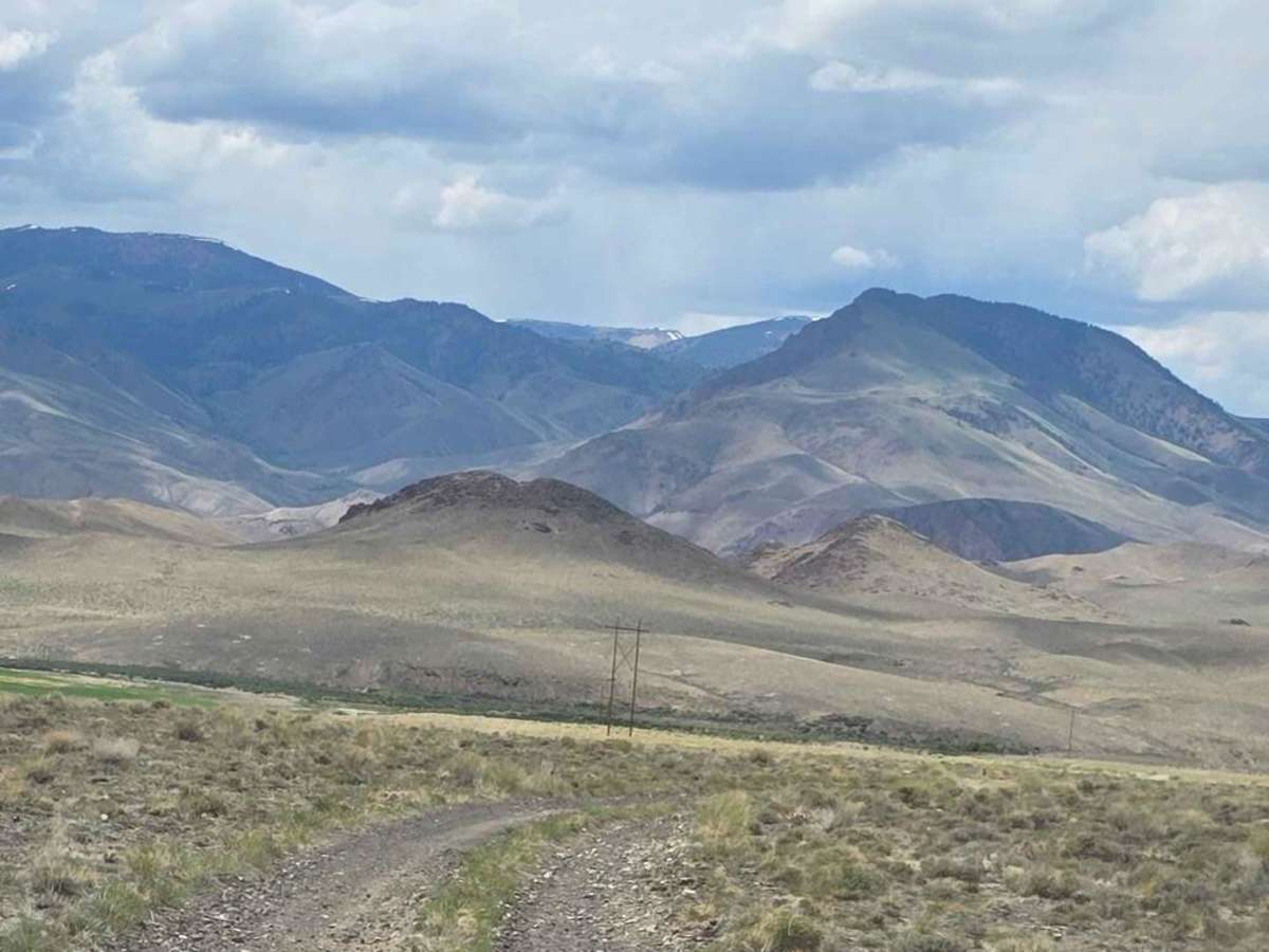
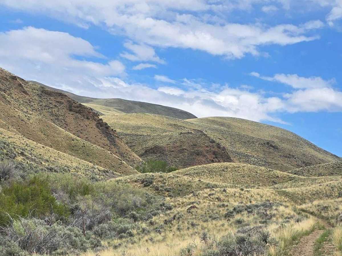
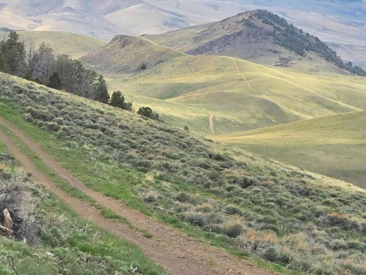
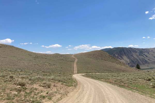
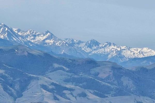
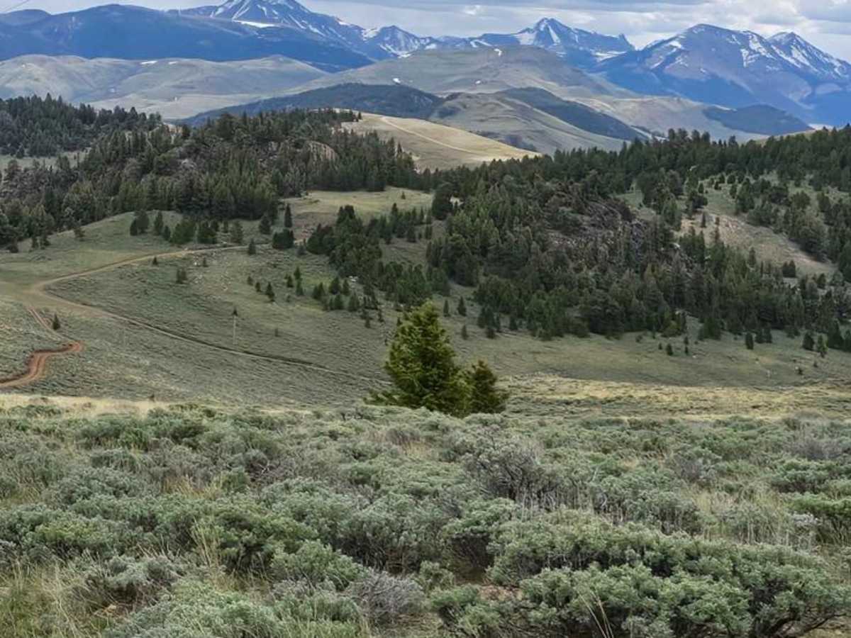
This 32.5-mile loop starts at the Leaton Gulch Up and Over Grouse Mountain trail, and runs south between the Lost River Range and the Pahsimeroi Range, taking you to the high point of just over 8400 feet. The climbs are steep in places, but the trails are good. Cattle are grazing here in the summertime, so be sure to leave all gates as you find them. A lot of the gate openings are cattle guards, but roughly 3 gates. There is a great possibility of seeing wildlife in this area, including elk, deer, pronghorn, rabbits, grouse, and other birds. At the south end of the loop, you circle back to the north towards Challis on dirt trails, keeping you off of the pavement.

Photos of Lost River Range Loop

Difficulty

The hills are steep, and there are some off-camber areas, but the trails are in good shape and easy to ride.

Technical Rating

2

Status Reports

Add Status Report
Jay Rawlings
Aug 23, 2025
Open
Dusty
Recently grades along the ridge. Few deer and antelope.

Lost River Range Loop Trail can be accessed by the following ride types:

  • Single Track
  • 50 Inch
  • 60 Inch
  • High Clearance
  • Full Width

Lost River Range Loop Map

The onX Offroad Difference

onX Offroad combines trail photos, descriptions, difficulty ratings, width restrictions, seasonality, and more in a user-friendly interface. Available on all devices, with offline access and full compatibility with CarPlay and Android Auto. Discover what you're missing today!

Open Trail Map