
Dirt Bike Trails
Near Cadillac, Michigan
Explore All Dirt Bike Trails Near Cadillac, Michigan
Dirt Bike Trails Near Cadillac, Michigan
Discover the best dirt bike trails near you. Browse trail maps, check difficulty ratings, and find your next adventure — whether you're looking for a quick ride or an all-day expedition.
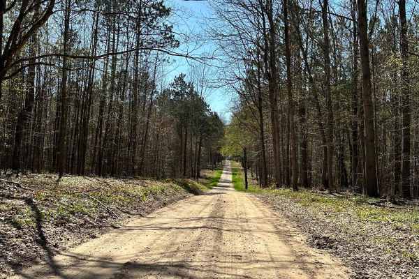
West 40 & 40 1/2 Road
West 40 & 40 1/2 Road is part of the Cadillac Area ORV/OHV Scenic Ride and has access to gas. This section of the Cadillac Area Scenic Ride is a DOT road open to ORV use only for access to gas. This section is a maintained gravel road. This is a family-friendly ORV/OHV ride created by the Cadillac A...
Learn more about West 40 & 40 1/2 Road
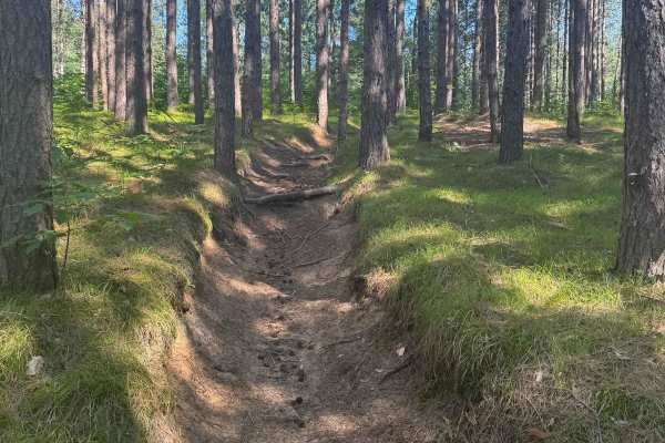
Missaukee Junction
Missaukee Junction offers a rugged and diverse challenge for riders tackling Michigan's trail system. Although technically classified as a 50" trail, some sections can get fairly narrow, testing both rider skill and machine handling. This trail is primarily ridden and maintained by dirt bikers, and ...
Learn more about Missaukee Junction
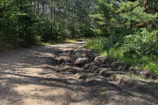
E 26-1/4 Trail
E 26-1/4 Trail is a wildly scenic 1.8-mile bidirectional trail within the Cadillac Forest Management Unit. Located between 28 3/4 Road and 26 1/4 it is easily accessible. This trail surface consists mostly of a sand/dirt combination. This route will surely keep you on your toes between the sandy ber...
Learn more about E 26-1/4 Trail
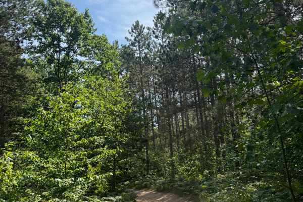
S 29 Trail
S 29 Trail is a laid-back and scenic bidirectional trail within the Cadillac Forest Management Unit. Located between South 29 Road and 28 3/4 Road, this trail is easily accessible. This trail surface consists of a mostly dirt and sand combination with a little bit of gravel mixed throughout. This ro...
Learn more about S 29 Trail
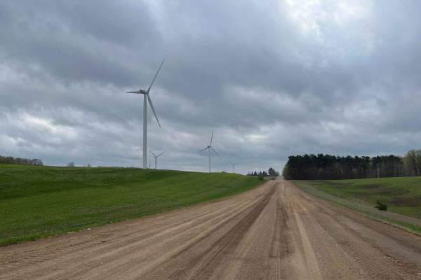
County Line Road
This trail begins on a standard dirt road with great views of the windmills and farm fields. The elevation lowers as you approach the entrance to the seasonal road, where you will enter a thick wooded area. This trail features a few obstacles and has plenty of wildlife/plant life to see. You will li...
Learn more about County Line Road
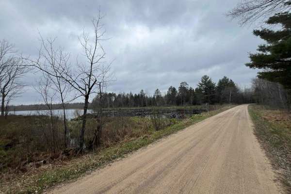
FS 9770
Enjoy the beautiful scenery on this US Forest Service seasonal road that passes through the Manistee National Forest in Wexford County near Cadillac, Michigan. This trail is beautiful year-round and offers the chance to view lots of different types of wildlife and plant life, including a diverse tre...
Learn more about FS 9770
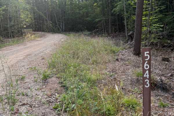
FS 5643
FS 5643 is a fun 1.2-mile bidirectional Michigan two-track trail within the Manistee National Forest. Located between S 29 Road and S 31 Road, this trail is easily accessible. This trail surface consists of dirt, gravel, sand, and grass throughout. This is a pretty straightforward trail with winding...
Learn more about FS 5643
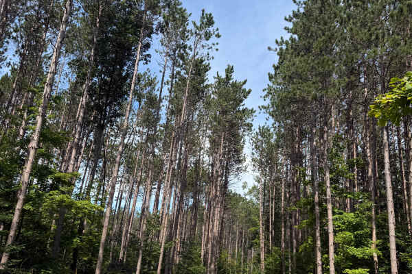
FS 5338 S
FS 5338 S is another laid-back and scenic 1.4-mile bidirectional trail within the Manistee National Forest. Located between FS 5348 South and FS 5338 North, this trail is easily accessible within this area's network of trails. You can either begin this trail directly off FS 5348 South or go down FS ...
Learn more about FS 5338 S
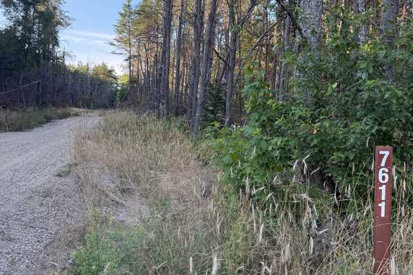
FS 7611
FS 7611 is a bidirectional Michigan two-track trail within the Manistee National Forest. Located off E 30 Road, this trail is easily accessible and is near some other incredible trails. This trail surface consists of a dirt and gravel combination. This is a pretty straightforward trail, but it has a...
Learn more about FS 7611
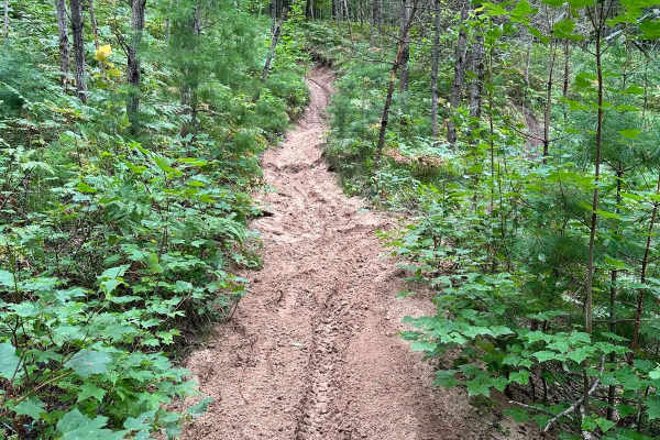
Sand Lake Motorcycle Trail
Sand Lake Motorcycle Trail is a nice skills test for riders in Michigan's lower peninsula. This trail has a little bit of everything. Sand, rocks, roots, hill climbs, ruts, and more. Although most riders could eventually get through this trail, it could be considered very difficult for learning ride...
Learn more about Sand Lake Motorcycle Trail
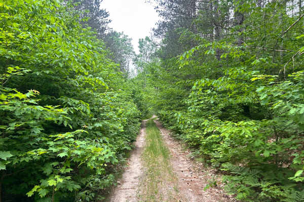
FS 5361
FS 5361 splits off the east side of FS 5338. It starts as a good-condition Forest Service road and gradually gets more overgrown, along with off-camber sections and downed trees/limbs in the trail. Cellular service is unavailable or very weak for most of the trail. Always check USFS postings for up-...
Learn more about FS 5361
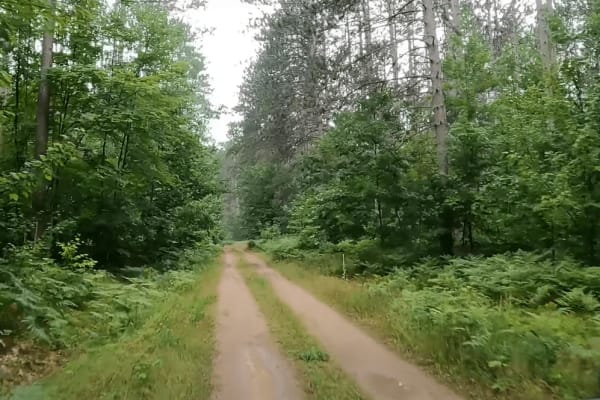
USFS 5401
5401 is a single-track dirt road that winds through the Manistee National Forest. This trail begins off of SM 35, or 50 1/2 Road in the midst of a CCC forest. On the eastern side of the trail, there is a southward spur that dead ends before entering private property. USFS 5401 continues west after t...
Learn more about USFS 5401
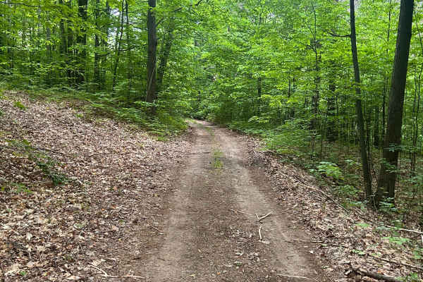
FS 5338 North
FS 5338 permits full-size vehicles; however, the trail is beginning to get overgrown and is lightly traveled, except for some pinstriping and some branches near windshield height. Trail consist of a gravel/sand base similar to most other USFS trails in the area. Cellular service is very spotty on th...
Learn more about FS 5338 North
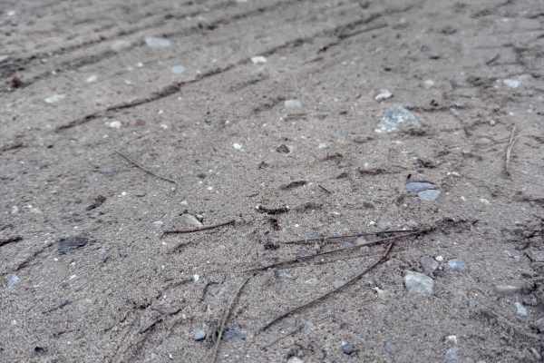
FS 5348 South
FS 5348 South is a beautiful bidirectional trail within the Manistee National Forest. Located just north of Lake Mitchell in Cadillac, this trail is easily accessible. Starting out, the trail surface consists mostly of a dirt, sand, and gravel combination. This trail quickly twists and turns through...
Learn more about FS 5348 South
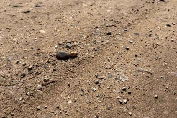
Stoddard Lake Road - FS 9987
FS 9987 is a laid-back, bidirectional 1.7-mile off-road trail within the Manistee National Forest. Located between East 20 1/2 Road and East No. 22 Road, this trail is easily accessible. This trail consists of a mostly gravel surface with a few areas of a dirt and sand combination. This route tracks...
Learn more about Stoddard Lake Road - FS 9987
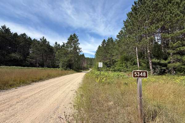
FS 5348 North
FS 5348 North is a gorgeous bidirectional trail within the Manistee National Forest. Located just north of Lake Mitchell in Cadillac, this trail is easily accessible. Starting out, the trail surface consists mostly of a dirt, sand, and gravel combination. This trail quickly twists and turns through ...
Learn more about FS 5348 North
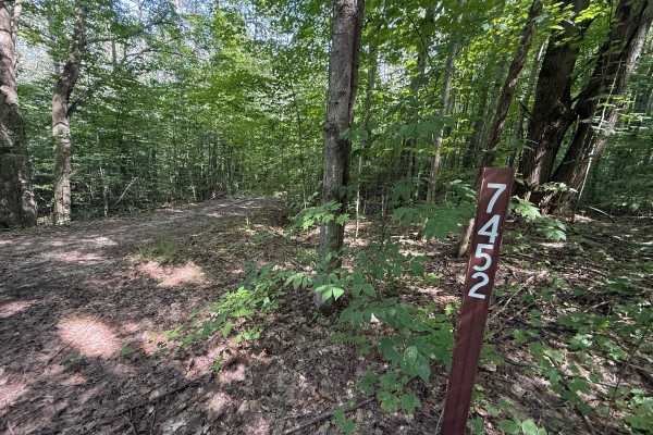
FS 7451
FS 7451 is a quick but unique bidirectional trail within the Manistee National Forest. Located between FS 9987 and FS 5348 North, this trail is easily accessible. Starting out, the trail surface consists mostly of a dirt and leaf combination. This trail quickly transitions into a thick section of tr...
Learn more about FS 7451
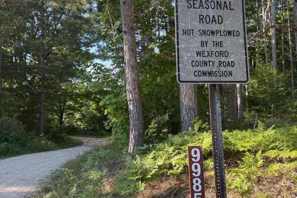
FS 9985
FS 9985 is a quick bidirectional off road trail within the Manistee National Forest. Located between East No. 22 Road and East 22 Road, this trail is easily accessible. This is a seasonal road that is not snowplowed by the Wexford County Road Commission. The trail surface consists of a mostly gravel...
Learn more about FS 9985

Cadillac Area ORV/OHV Scenic Ride - Part 12
Cadillac Area ORV/OHV Scenic Ride - Part 12 is part of the Cadillac Area ORV/OHV Scenic Ride. This section of the Cadillac Area Scenic Ride is open to all ORV/OHV vehicles. This section is a maintained gravel road for access to the Boon Country Store. This location sells gas and snacks. They are spe...
Learn more about Cadillac Area ORV/OHV Scenic Ride - Part 12
FS 9771
FS 9771 is a bidirectional trail within the Manistee National Forest. Located between East 22 Road and East 20 Road, this trail is easily accessible from either end. This trail is along a seasonal road that is not snowplowed by the Wexford County Road Commission. Starting out, you'll be on a mostly ...
Learn more about FS 9771
ATV trails near Cadillac, Michigan
Explore ATV-friendly trails near you. These trails are accessible for vehicles up to 50 inches wide, perfect for ATVs and smaller off-road machines.
West 40 & 40 1/2 Road
West 40 & 40 1/2 Road is part of the Cadillac Area ORV/OHV Scenic Ride and has access to gas. This section of the Cadillac Area Scenic Ride is a DOT road open to ORV use only for access to gas. This section is a maintained gravel road. This is a family-friendly ORV/OHV ride created by the Cadillac A...
Learn more about West 40 & 40 1/2 Road
Missaukee Junction
Missaukee Junction offers a rugged and diverse challenge for riders tackling Michigan's trail system. Although technically classified as a 50" trail, some sections can get fairly narrow, testing both rider skill and machine handling. This trail is primarily ridden and maintained by dirt bikers, and ...
Learn more about Missaukee Junction
E 26-1/4 Trail
E 26-1/4 Trail is a wildly scenic 1.8-mile bidirectional trail within the Cadillac Forest Management Unit. Located between 28 3/4 Road and 26 1/4 it is easily accessible. This trail surface consists mostly of a sand/dirt combination. This route will surely keep you on your toes between the sandy ber...
Learn more about E 26-1/4 Trail
S 29 Trail
S 29 Trail is a laid-back and scenic bidirectional trail within the Cadillac Forest Management Unit. Located between South 29 Road and 28 3/4 Road, this trail is easily accessible. This trail surface consists of a mostly dirt and sand combination with a little bit of gravel mixed throughout. This ro...
Learn more about S 29 Trail
UTV/side-by-side trails near Cadillac, Michigan
Find UTV and side-by-side trails near you. These trails accommodate vehicles up to 60 inches wide, ideal for UTVs, side-by-sides, and wider off-road rigs.
West 40 & 40 1/2 Road
West 40 & 40 1/2 Road is part of the Cadillac Area ORV/OHV Scenic Ride and has access to gas. This section of the Cadillac Area Scenic Ride is a DOT road open to ORV use only for access to gas. This section is a maintained gravel road. This is a family-friendly ORV/OHV ride created by the Cadillac A...
Learn more about West 40 & 40 1/2 Road
E 26-1/4 Trail
E 26-1/4 Trail is a wildly scenic 1.8-mile bidirectional trail within the Cadillac Forest Management Unit. Located between 28 3/4 Road and 26 1/4 it is easily accessible. This trail surface consists mostly of a sand/dirt combination. This route will surely keep you on your toes between the sandy ber...
Learn more about E 26-1/4 Trail
S 29 Trail
S 29 Trail is a laid-back and scenic bidirectional trail within the Cadillac Forest Management Unit. Located between South 29 Road and 28 3/4 Road, this trail is easily accessible. This trail surface consists of a mostly dirt and sand combination with a little bit of gravel mixed throughout. This ro...
Learn more about S 29 Trail
County Line Road
This trail begins on a standard dirt road with great views of the windmills and farm fields. The elevation lowers as you approach the entrance to the seasonal road, where you will enter a thick wooded area. This trail features a few obstacles and has plenty of wildlife/plant life to see. You will li...
Learn more about County Line Road
The onX Offroad Difference
onX Offroad combines trail photos, descriptions, difficulty ratings, width restrictions, seasonality, and more in a user-friendly interface. Available on all devices, with offline access and full compatibility with CarPlay and Android Auto. Discover what you're missing today!
Open Trail Map