Trail Overview
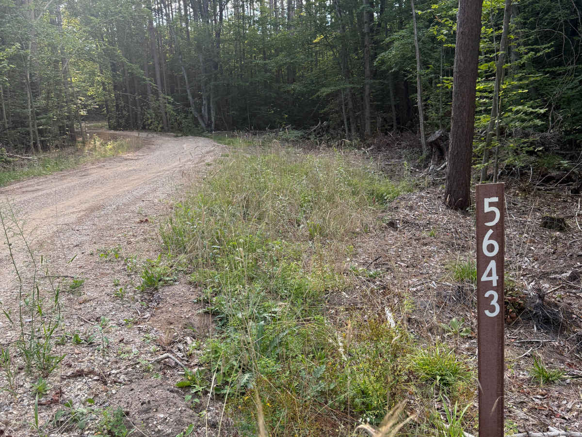
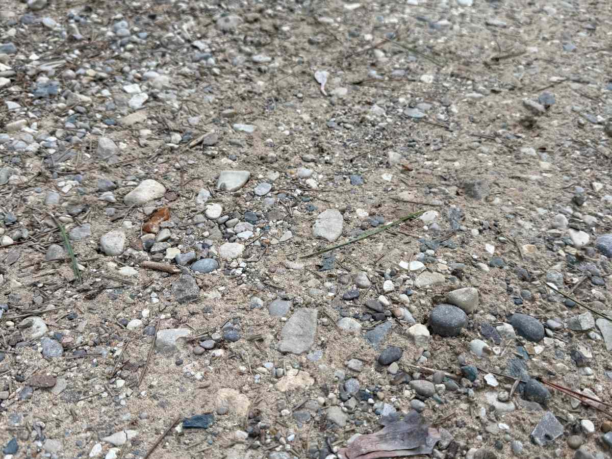
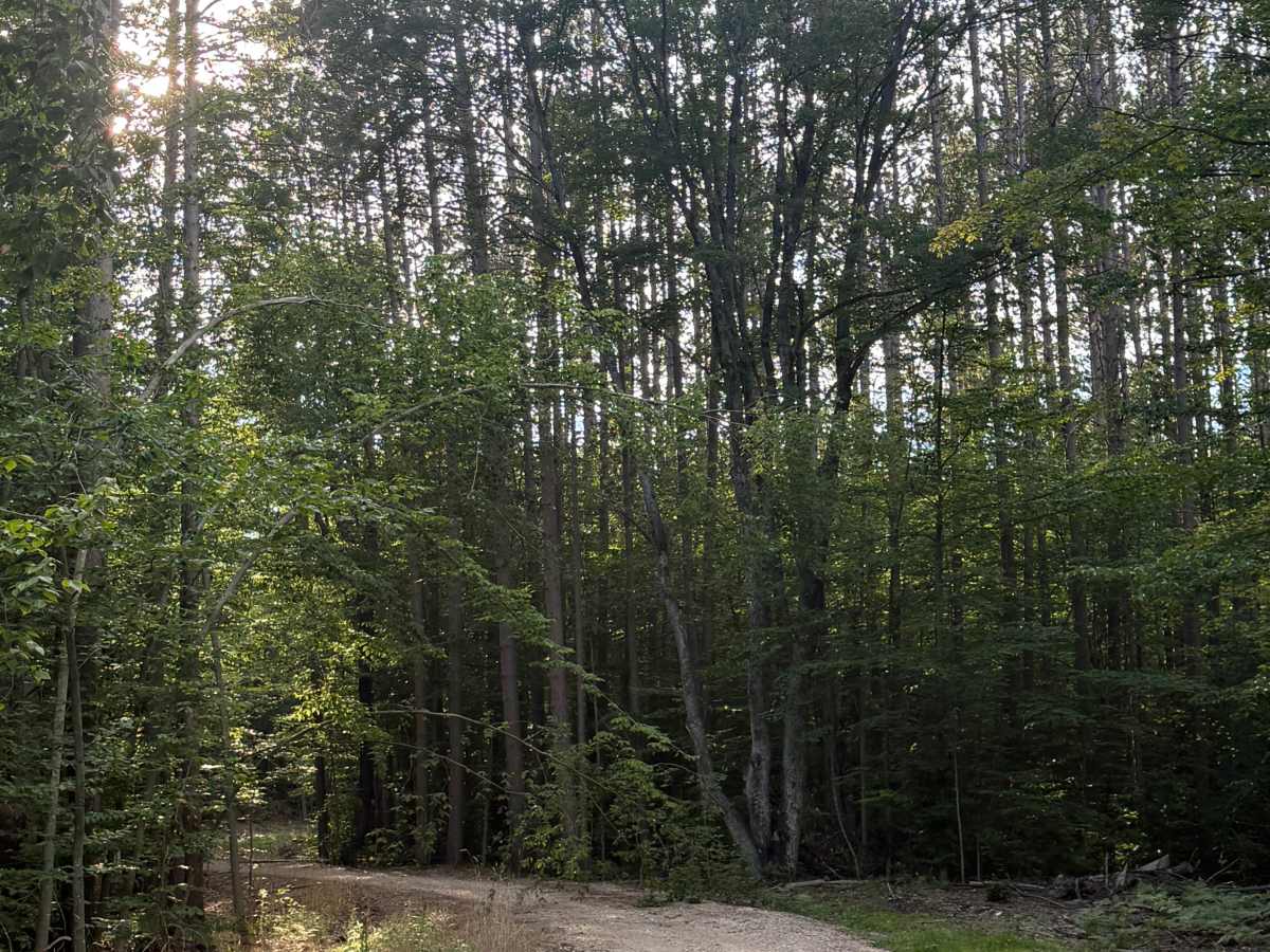
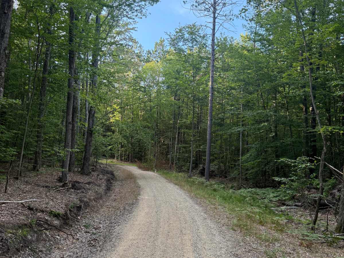
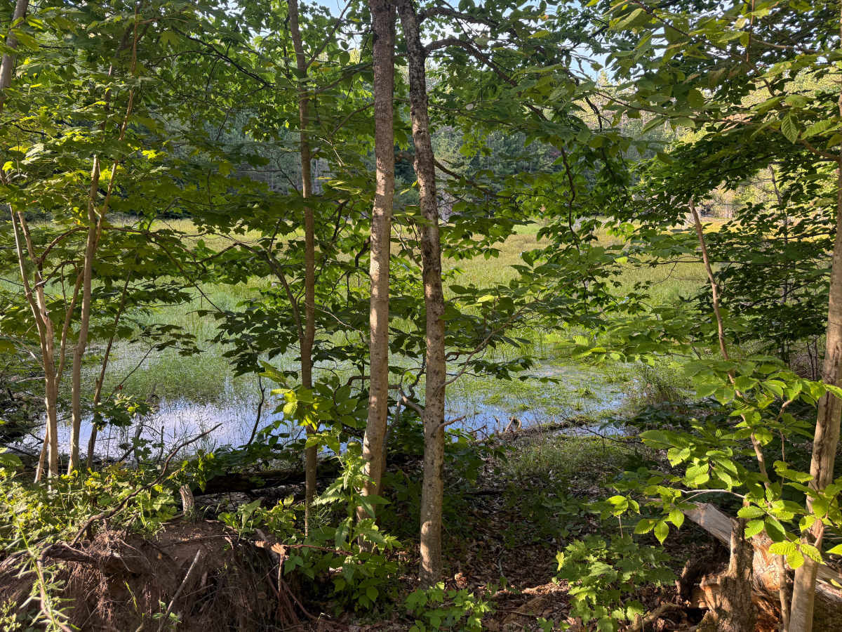
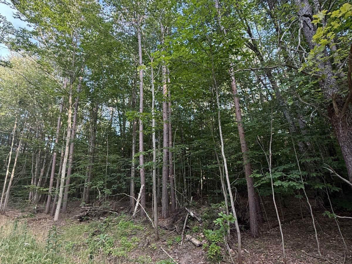
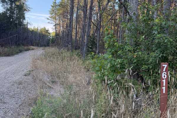
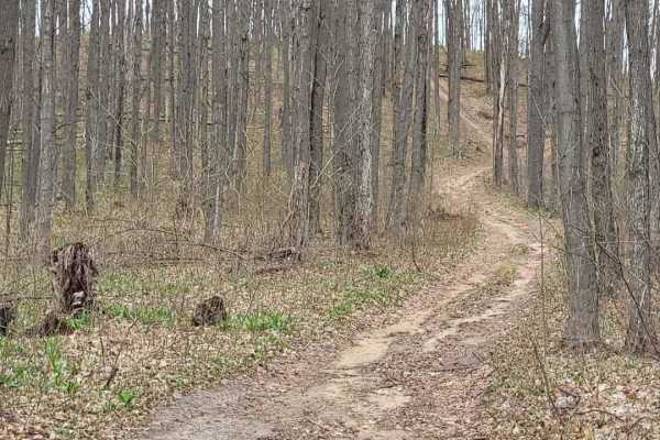
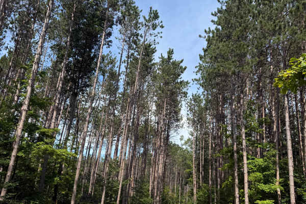
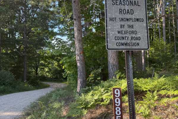
FS 5643 is a fun 1.2-mile bidirectional Michigan two-track trail within the Manistee National Forest. Located between S 29 Road and S 31 Road, this trail is easily accessible. This trail surface consists of dirt, gravel, sand, and grass throughout. This is a pretty straightforward trail with winding turns as you continue down the track, and it offers wonderful sights of the beautiful forest. You'll also come across a small pond right along this track. The trail on the western portion runs along private property. Keep to the trail and do not trespass. As always, PLEASE TREAD LIGHTLY and be respectful of our public lands so future generations can have access to these trails! If you start from the eastern end, towards the very end of the trail, you'll come across a large washout ditch. Short wheelbase vehicles shouldn't have a problem here. However, any longer wheelbase rig or a vehicle with a longer tail or one with a bad departure angle may run into trouble here and bottom out. This is an obstacle worth noting. It's a very sandy, dirt-eroded section. Recent rainfall can cause unfavorable conditions on the trail, including downed trees, mud holes, and washouts. Come Prepared! This is not a difficult trail, but it contains a lot of fun and gives access to other trails as well as local hiking, hunting, and other recreation.
Difficulty
This trail was given a Technical Rating & Difficulty of 4 due to the uneven, rutted first section with loose sand, erosion, and a wash at the end of the track if you begin from the east. This has a short, steep ledge, and the route is typically one vehicle wide with minimal places to pass.