
Dirt Bike Trails
Near Baldwinville, Massachusetts
Explore All Dirt Bike Trails Near Baldwinville, Massachusetts
Dirt Bike Trails Near Baldwinville, Massachusetts
Discover the best dirt bike trails near you. Browse trail maps, check difficulty ratings, and find your next adventure — whether you're looking for a quick ride or an all-day expedition.
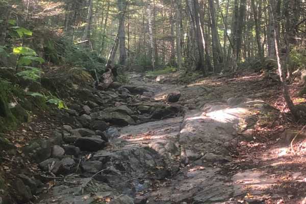
Cobble Hill Road Trail
This trail starts at the end of Cobble Hill Rd and ends at Stones Mill Rd. It is primarily uphill on wet, uneven, rocky terrain consisting of large rocks to climb over and loose gravel. There are a lot of steep drops that a stock vehicle may not be able to handle. Along the trail lies a small cemete...
Learn more about Cobble Hill Road Trail
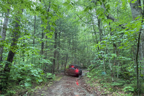
Old Antrim Rd to Weston Rd to Depot Rd
This ride wanders through three sections of Class 6 roads. You can do this ride in either direction. We traveled North to South but passed others doing the opposite. This route will take you through dense old-growth NH forests and up and down Ball Hill. The terrain is muddy, rocky, and hilly. The fi...
Learn more about Old Antrim Rd to Weston Rd to Depot Rd
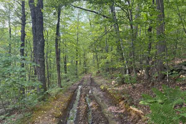
Brimstone Corner Road
This Class 6 road can be accessed from the north on Brimstone Corner Road (paved section), from the southeast on Old Antrim Road (Class 6), or from the southwest on Weston Road (Class 6). This fairly easy route and is a Class 6 winding road through NH's old-growth forest. The trail is a dirt road wi...
Learn more about Brimstone Corner Road
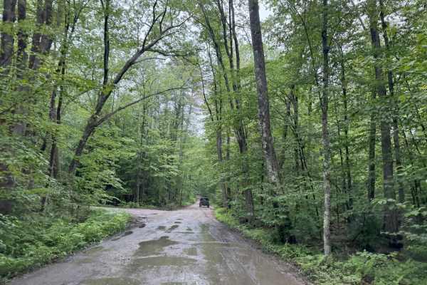
Old Windsor Mountain Road to Sulpher Hill Road
This route travels on two NH Class 6 roads up and down Windsor Mountain and up and down Sulpher Hill. Like all Class 6 roads, these roads contain many easy sections and numerous challenging sections. The trail starts on a long uphill climb up the east side of Windsor Mountain. The ascent has several...
Learn more about Old Windsor Mountain Road to Sulpher Hill Road
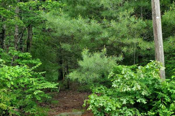
Sully's Way
This track is very overgrown. If you like your paint, don't go down it. It does open up after the beginning, but it's super tight to start with branches all over the sides and top of your rig. The cell service is decent, but the GPS gets a little confused at times. The majority of the track is dirt;...
Learn more about Sully's Way
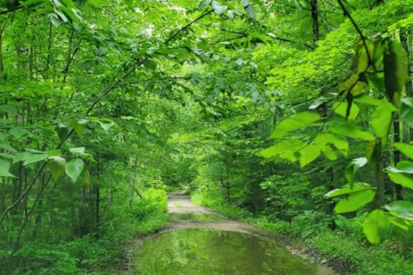
Hampden Road
Level 1, besides one water crossing, which I'd give a 2 for a 4x4, single track wide, mostly rough gravel, overgrown slightly, will cause some scraping on the paint, it's maintained a little bit with clearing trees that fell, starts in Stafford Springs, Connecticut then ends in Hampden Massachusetts...
Learn more about Hampden Road
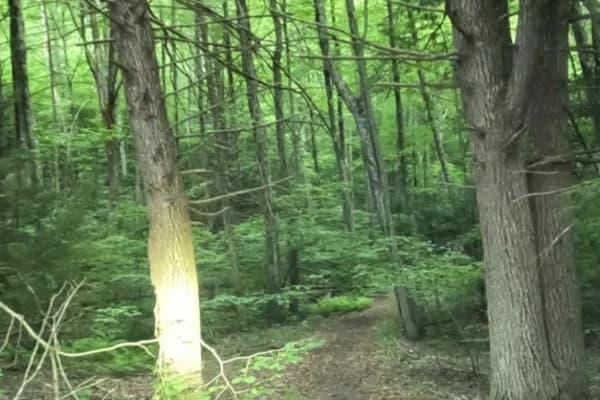
Old Spencer Road
This track is very overgrown;it's super tight to start with branches all over the sides and top of your rig. The cell service is decent, but the GPS gets a little confused at times. The majority of the track is dirt;there are some decent-sized boulders you'll have to crawl over, there is a spot with...
Learn more about Old Spencer Road
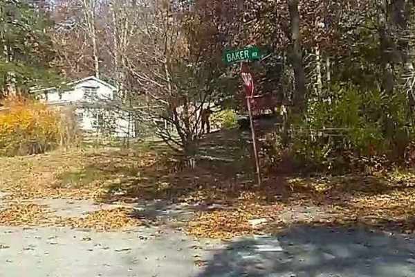
Baker & Cruff Roads
Baker Road starts with a "1" rated car-friendly mixed gravel and paved section. It becomes a "2" rated two-track when it crosses Quaddick Town Farm Road. Most people enter the trail here to avoid houses. As it crosses Wakefield Pond Road it becomes "3" rated (4WD needed), uphill on loose and medium ...
Learn more about Baker & Cruff Roads
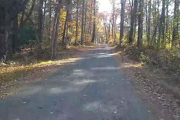
Wakefield Pond & Silver Brook Roads
This trail starts with a "1" rating until you pass the two houses (slowly please), then becomes an upper "3" rating as it is poorly maintained and often muddy until it enters Rhode Island which is better at maintaining it. The trail terminates at the junction of Border Trail and Munyon Trail in the ...
Learn more about Wakefield Pond & Silver Brook Roads
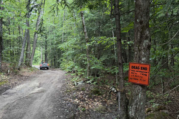
Dummer Road
New Hampshire Class VI road / multi-use trail. This dirt road includes several low areas that show signs of flooding after heavy rain. Use caution near wooden planks covering rusted culverts, as exposed metal may puncture tires. The route is shortened for off-highway vehicles, and signage at the end...
Learn more about Dummer Road
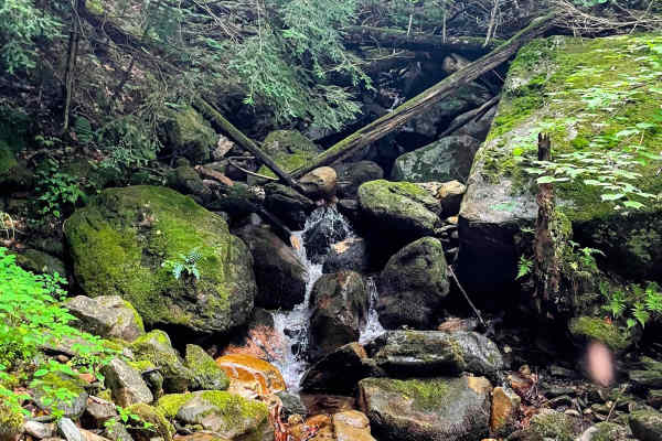
Torrey Mountain Road
This is an unmaintained road in Florida, Massachusetts. The northern end is about a mile from the eastern portal of the Hoosac Tunnel, once the world's second-largest tunnel, and climbs southward out of the beautiful Deerfield River valley. One of the more challenging trails in the Berkshires, this ...
Learn more about Torrey Mountain Road
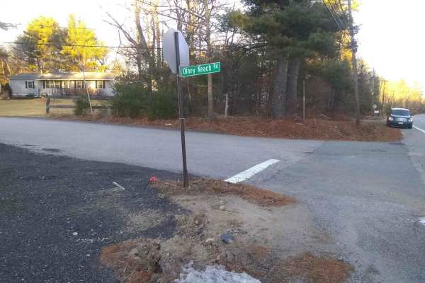
Olney Keach Road
Head down Onley Keach Road and begin once the pavement turns to dirt just after the houses. This trail is a dirt and gravel road. It will loosen your filings and shed parts from your vehicle. The trail's main redeeming value is that it forms the Eastern border of the Northeast Rhode Island Trail Net...
Learn more about Olney Keach Road
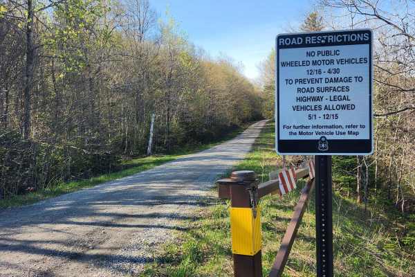
US FSR 74
This is a well-maintained gravel road flanked by forests and dispersed campsites on either side. There is a gate at the entrance which is closed from December 15th to May 1st. Camping is allowed at the dispersed campsites which include space for 1-2 cars and a fire ring but no bathrooms. There are n...
Learn more about US FSR 74
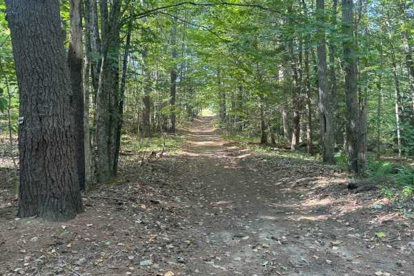
Hersey Road
This is a Class VI road in Danville, New Hampshire. You can access the trail from the east off of State Route 111A, turning onto the Hersey Road paved section. Trail access is to the left at the split (GH Carter Drive goes right), up into the woods. Follow signage for Beehive Hut at the split for th...
Learn more about Hersey Road
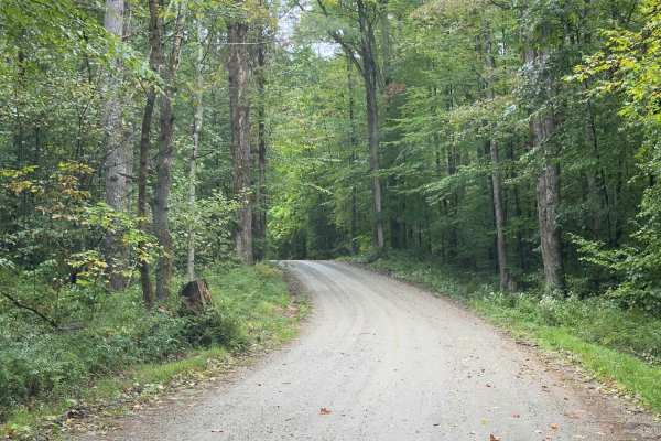
Klondike Road
Serving as a perfect connection point to other trails, this trail is an easy dirt road with limited obstacles. Overall, it's a well-graded forest road winding through mixed hardwoods. The trail is wide enough for comfortable passing, and grades are mild. There's potential for shallow standing water ...
Learn more about Klondike Road
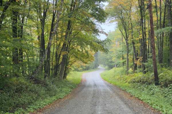
County Road Connection
Serving as a connection trail to County Road or the Klondike Trail, this trail is a simple, wide dirt road. Winding through the Vermont forest, you will be surrounded by a mix of hardwoods. It's a comfortable trail, with room to pass. If there's rain or wet ground, prepare to be muddy.
Learn more about County Road Connection
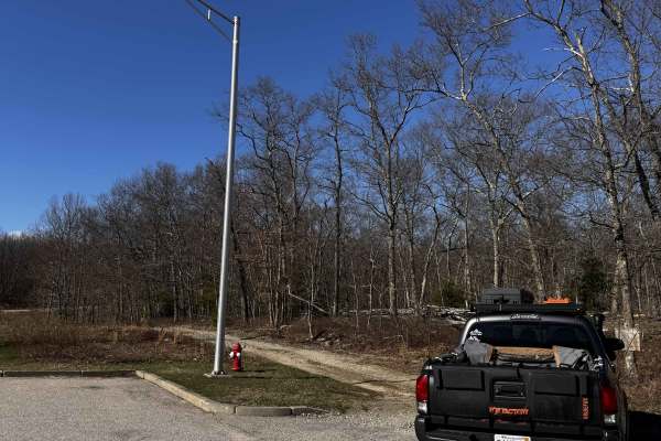
Hanton City Road
Public road that is no longer maintained. Can approach from west off of Decotis Farm Road or from East off of West Reservoir Road. Approaching from Decotis, the road begins at the cul-de-sac. Parts of the road still have remnants of pavement before it was abandoned. The route was dry when mapped and...
Learn more about Hanton City Road
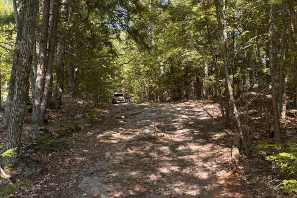
Mountain Road
Mountain Road is a New Hampshire Class VI road. Coming from the south, the route stays right, indicated by a Class VI sign, as Swamp Road goes left. Cow Pastures can be seen to the right as you begin your first climb onto Mountain Road. You will come back down to an intersection for Mountain View Sp...
Learn more about Mountain Road
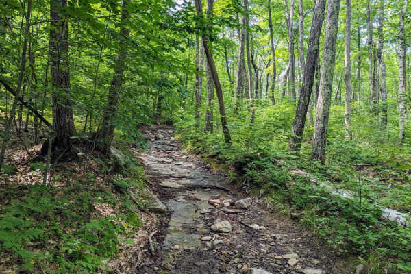
Old Military Road/TH-35
If entering from the south, the hard part is first. The northern end of the trail is an easy dirt track. Coming up the hill from the south are many differential dingers and under carriage crunchers. The trail gets a bit narrow at times but is easily passed with a good spotter. The rougher parts skir...
Learn more about Old Military Road/TH-35
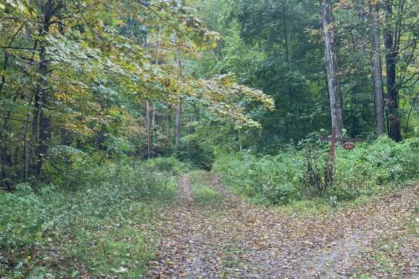
Benedict Trail
This trail starts as a regular dirt road, transforming into a narrow two-track with large ruts and holes. The surface of the trail breaks up on the steeper grades, and there is a potential for deep water crossings. In the image, the water is just over a foot deep. Most high-clearance 4x4 vehicles wi...
Learn more about Benedict Trail
ATV trails near Baldwinville, Massachusetts
Explore ATV-friendly trails near you. These trails are accessible for vehicles up to 50 inches wide, perfect for ATVs and smaller off-road machines.
Cobble Hill Road Trail
This trail starts at the end of Cobble Hill Rd and ends at Stones Mill Rd. It is primarily uphill on wet, uneven, rocky terrain consisting of large rocks to climb over and loose gravel. There are a lot of steep drops that a stock vehicle may not be able to handle. Along the trail lies a small cemete...
Learn more about Cobble Hill Road Trail
Old Antrim Rd to Weston Rd to Depot Rd
This ride wanders through three sections of Class 6 roads. You can do this ride in either direction. We traveled North to South but passed others doing the opposite. This route will take you through dense old-growth NH forests and up and down Ball Hill. The terrain is muddy, rocky, and hilly. The fi...
Learn more about Old Antrim Rd to Weston Rd to Depot Rd
Brimstone Corner Road
This Class 6 road can be accessed from the north on Brimstone Corner Road (paved section), from the southeast on Old Antrim Road (Class 6), or from the southwest on Weston Road (Class 6). This fairly easy route and is a Class 6 winding road through NH's old-growth forest. The trail is a dirt road wi...
Learn more about Brimstone Corner Road
Old Windsor Mountain Road to Sulpher Hill Road
This route travels on two NH Class 6 roads up and down Windsor Mountain and up and down Sulpher Hill. Like all Class 6 roads, these roads contain many easy sections and numerous challenging sections. The trail starts on a long uphill climb up the east side of Windsor Mountain. The ascent has several...
Learn more about Old Windsor Mountain Road to Sulpher Hill Road
UTV/side-by-side trails near Baldwinville, Massachusetts
Find UTV and side-by-side trails near you. These trails accommodate vehicles up to 60 inches wide, ideal for UTVs, side-by-sides, and wider off-road rigs.
Cobble Hill Road Trail
This trail starts at the end of Cobble Hill Rd and ends at Stones Mill Rd. It is primarily uphill on wet, uneven, rocky terrain consisting of large rocks to climb over and loose gravel. There are a lot of steep drops that a stock vehicle may not be able to handle. Along the trail lies a small cemete...
Learn more about Cobble Hill Road Trail
Old Antrim Rd to Weston Rd to Depot Rd
This ride wanders through three sections of Class 6 roads. You can do this ride in either direction. We traveled North to South but passed others doing the opposite. This route will take you through dense old-growth NH forests and up and down Ball Hill. The terrain is muddy, rocky, and hilly. The fi...
Learn more about Old Antrim Rd to Weston Rd to Depot Rd
Brimstone Corner Road
This Class 6 road can be accessed from the north on Brimstone Corner Road (paved section), from the southeast on Old Antrim Road (Class 6), or from the southwest on Weston Road (Class 6). This fairly easy route and is a Class 6 winding road through NH's old-growth forest. The trail is a dirt road wi...
Learn more about Brimstone Corner Road
Old Windsor Mountain Road to Sulpher Hill Road
This route travels on two NH Class 6 roads up and down Windsor Mountain and up and down Sulpher Hill. Like all Class 6 roads, these roads contain many easy sections and numerous challenging sections. The trail starts on a long uphill climb up the east side of Windsor Mountain. The ascent has several...
Learn more about Old Windsor Mountain Road to Sulpher Hill Road
The onX Offroad Difference
onX Offroad combines trail photos, descriptions, difficulty ratings, width restrictions, seasonality, and more in a user-friendly interface. Available on all devices, with offline access and full compatibility with CarPlay and Android Auto. Discover what you're missing today!
Open Trail Map