Hersey Road

Total Miles1.1
Technical Rating
2Easy
Best TimeSummer, Fall
Trail TypeFull-Width Road
Accessible By
Open Trail Map

Trail Overview

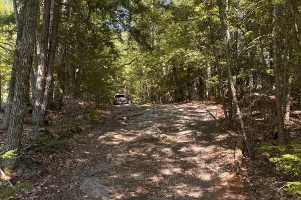
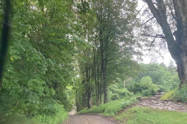
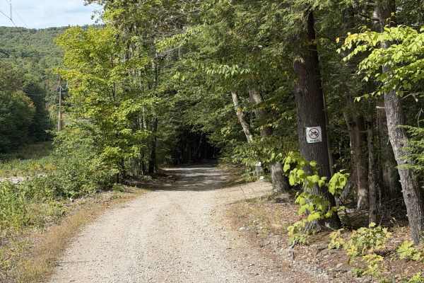
This is a Class VI road in Danville, New Hampshire. You can access the trail from the east off of State Route 111A, turning onto the Hersey Road paved section. Trail access is to the left at the split (GH Carter Drive goes right), up into the woods. Follow signage for Beehive Hut at the split for the beginning of Hersey Road Class VI section. The track is just over a mile long and crosses through powerlines and by some wetlands. Mind the map, as there are plenty of offshoots that go onto private property. Trail terminates when it meets back up with GH Carter Drive. Take a left at the end to return to Route 111A. Be respectful of locals as the trail follows right along their backyards.

Photos of Hersey Road

Difficulty

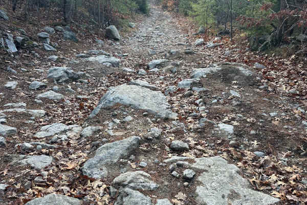
This trail is tight and overgrown in some places. Fallen trees make it difficult for taller vehicles; mind your heads. A couple of small off-camber areas are also present.

Technical Rating

2

Status Reports

Add Status Report
Ari J
Oct 17, 2026
2016 Ram 1500
Open
Muddy/WetRough/Deteriorated
First time driving with 4x4 in my Ram. Had no issues getting through, the trail goes further than what is highlighted on the map. A few of the marshy sections had about 6" of water in them. Lots of brush made it pretty scratchy but other than that no problems with a 6" lift.
Erik Sandgren
Oct 03, 2026
2021 GMC Sierra 1500 AT4 w/157" wheelbase. 2" added lift
Open
NormalMuddy/Wet
One large, maybe 1' deep, 30' long puddle. Towards the end, the trail side growth is very tight. Lots of rubbing plants/branches with very large scratching potential. Do not need 4×4 on this trail. A couple large stones protruding about 15" in near-center of trail. You'll want some decent ground clearance on your rig, but a stock pickup could navigate this. Fun little trail! Definitely NARROW in spots. Not the actual trail, but the growth.
Chris Lake
Sep 01, 2026
Open
Muddy/Wet
Pat Murphy
May 29, 2026
2025 Ford Bronco
Obstructed
Downed Tree
We encountered two down trees toward the end of the trail. One tree was broken in half and I towed it down with my rope, but it’s a tough, technical climb to get over the log. It was too big to pull all the way out. Second tree was full down in super wet mud, I had to move some bigger branches by hand while balancing on the main log so we could climb over.
george d
Apr 24, 2026
Open
NormalMuddy/Wet
Easy trail some water crossings they wernt too deep but I’m sure after some rain it could be the trail goes farther than the map shows you can keep going to Odell rd (could also be accessed from Odell rd)
turner molenaar
Mar 21, 2026
Open
Muddy/WetSnow/Ice
Great trail some muddy parts you need to power through. Trail system is much larger than what is indicated by the map. Lots of other sections to explore
Mike C
Jan 10, 2026
Open
Snow/Ice
Very icy but passable. some rocks and one big dip near pond. Slow speed is recommended I stayed on main trail but appears to be some activity along power lines but I wasn’t sure if legal.
Anthony D’Ampolo
Nov 08, 2025
2007 Toyota FJ Cruiser
Open
NormalMuddy/Wet
Heavy leaf cover and some rocks do jump out at you, but it is a fun trail. Very relaxed with a small pond crossing which is a pretty cool sight. Highly recommend being respectful and careful while wheeling, we had someone’s dog walk up to us while crawling. Trail goes behind private land and peoples houses so be respectful.

Hersey Road Trail can be accessed by the following ride types:

  • Single Track
  • 50 Inch
  • 60 Inch
  • High Clearance
  • Full Width

Hersey Road Map

The onX Offroad Difference

onX Offroad combines trail photos, descriptions, difficulty ratings, width restrictions, seasonality, and more in a user-friendly interface. Available on all devices, with offline access and full compatibility with CarPlay and Android Auto. Discover what you're missing today!

Open Trail Map