County Road Connection

Total Miles2
Technical Rating
2Easy
Best TimeSpring, Fall, Summer
Trail TypeFull-Width Road
Accessible By
Open Trail Map

Trail Overview

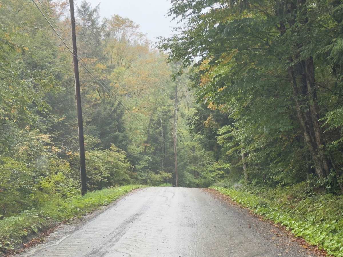
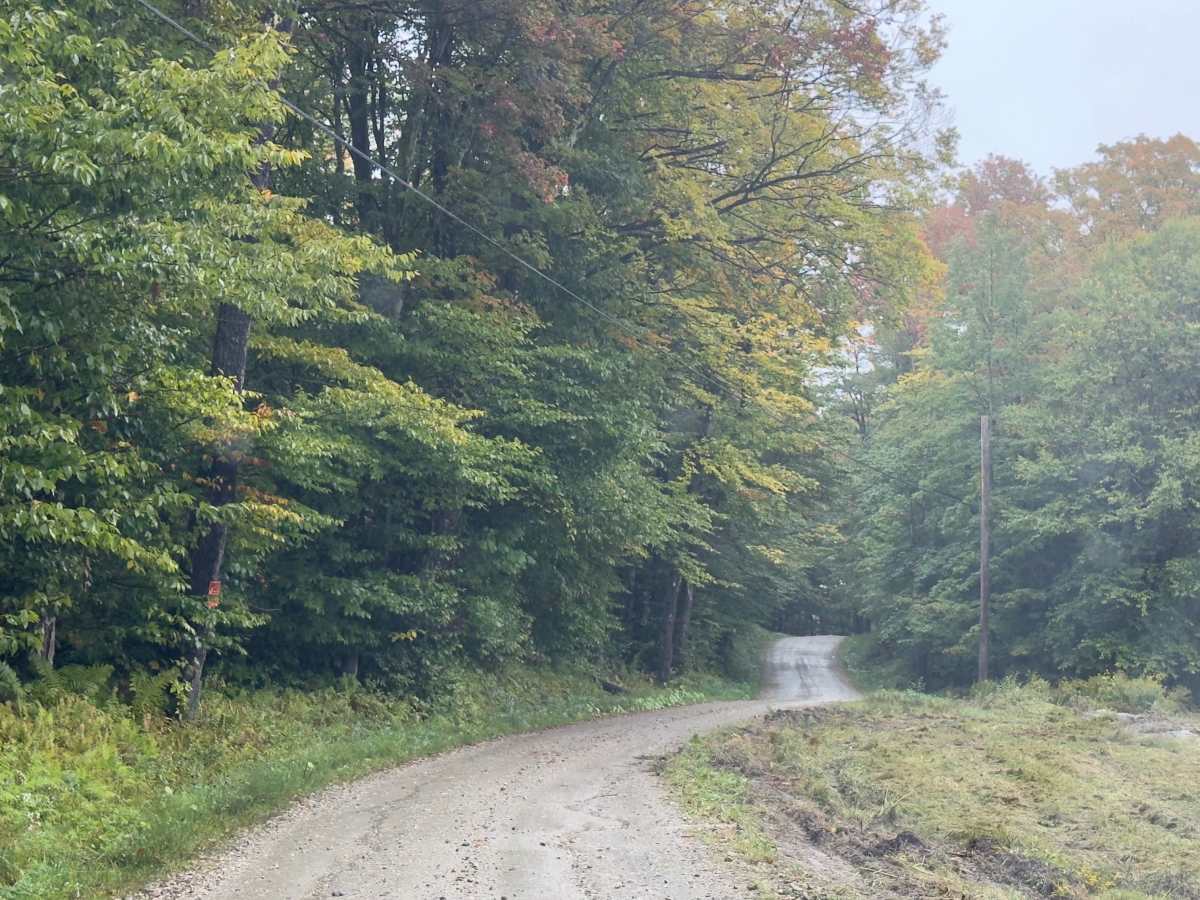
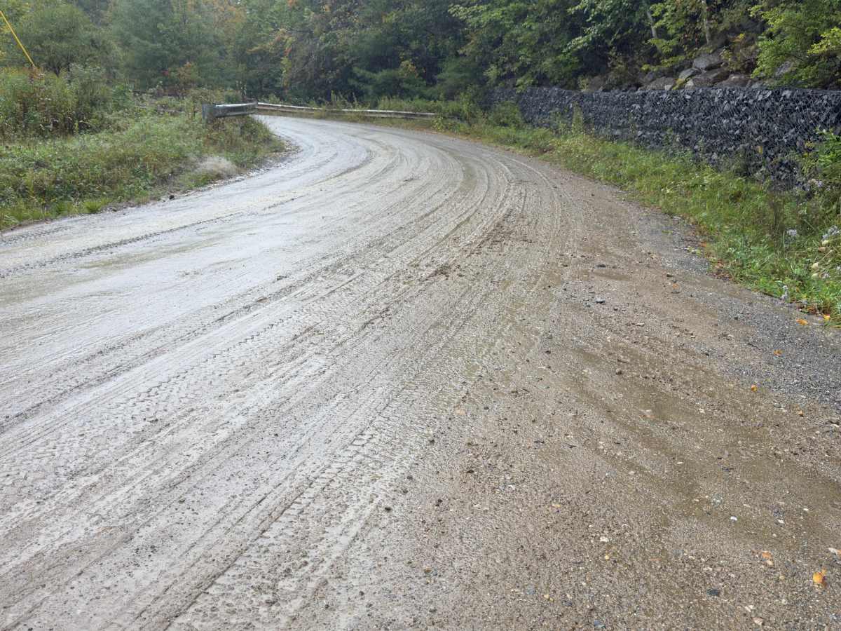
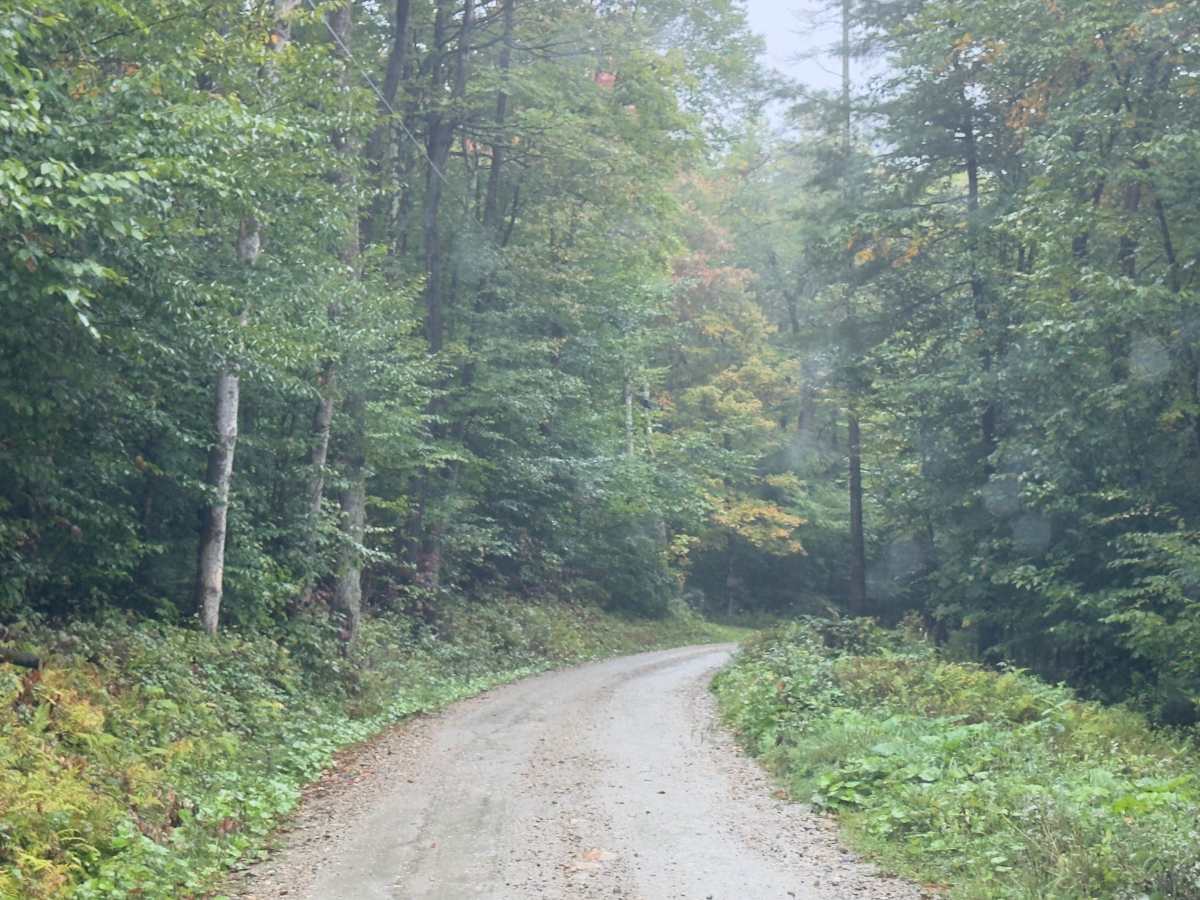
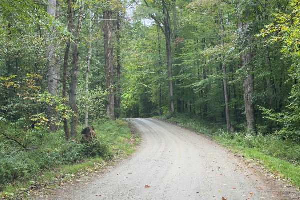
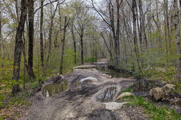
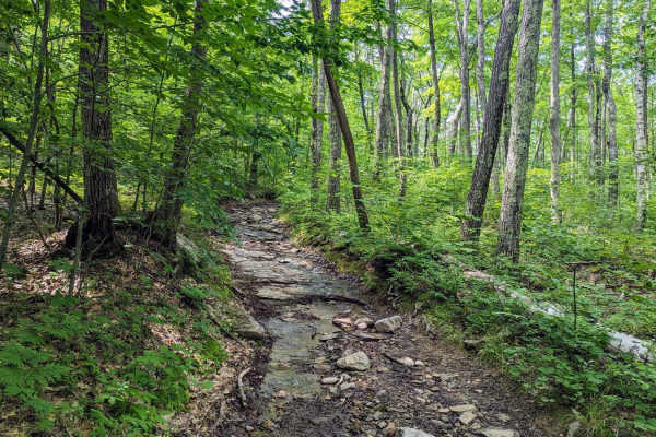
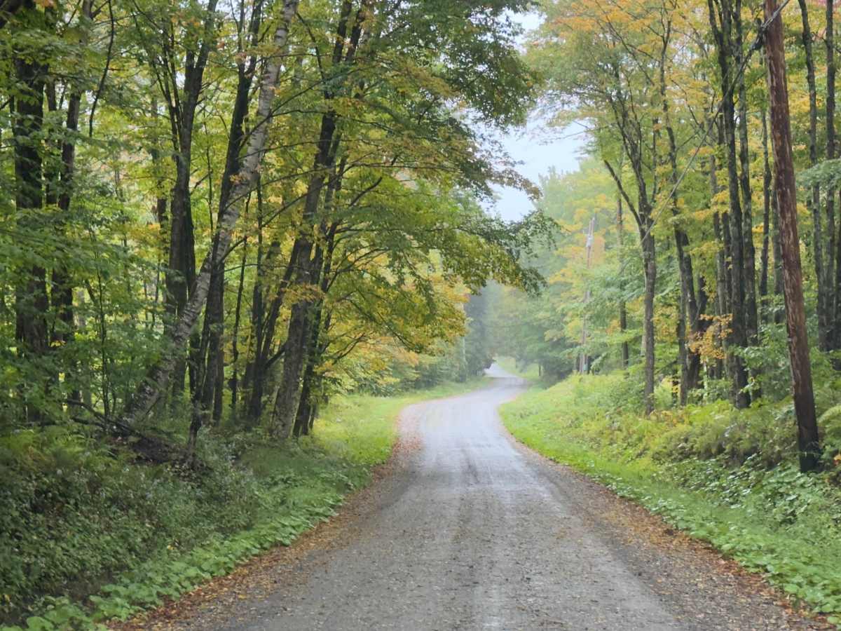
Serving as a connection trail to County Road or the Klondike Trail, this trail is a simple, wide dirt road. Winding through the Vermont forest, you will be surrounded by a mix of hardwoods. It's a comfortable trail, with room to pass. If there's rain or wet ground, prepare to be muddy.

Photos of County Road Connection

Difficulty

The trail is easy and suitable for most vehicles, but it can get muddy. Watch for blind corners.

Technical Rating

2

County Road Connection Trail can be accessed by the following ride types:

  • Single Track
  • 50 Inch
  • 60 Inch
  • High Clearance
  • Full Width

County Road Connection Map

The onX Offroad Difference

onX Offroad combines trail photos, descriptions, difficulty ratings, width restrictions, seasonality, and more in a user-friendly interface. Available on all devices, with offline access and full compatibility with CarPlay and Android Auto. Discover what you're missing today!

Open Trail Map