
Beginner Off-Road Trails
Near Welby, Colorado
Explore All Beginner Trails Near Welby, Colorado
Beginner Off-Road Trails Near Welby, Colorado
Discover the best beginner-friendly off-road trails near you. These easier, lower-rated trails are a great place to start — browse trail maps, check difficulty ratings, and find your next adventure.
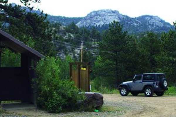
Gross Reservoir
This is a super fun, single lane road to amazing camping. You'll camp above the reservoir and fish, canoe, kayak and relax. No swimming. Open to licensed and unlicensed vehicles. Trail is open from May 15 to November 30.
Learn more about Gross Reservoir
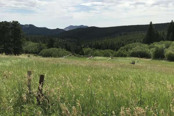
Magnolia Road East
Magnolia Road East is a scenic, well-graded 7-mile dirt road connecting Nederland to the Aspen Meadows area in the Colorado foothills. Ranging from 8,040 to 8,690 feet in elevation, this route offers views of Tungsten Mountain and Forsythe Rock, serving as a peaceful alternative to Boulder Canyon.
...
Learn more about Magnolia Road East
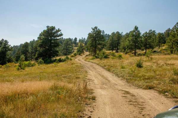
Peewink
Peewink is a scenic, beginner-friendly trail ideal for stock four-wheel-drive vehicles, SxSs, and dirt bikes looking for easy access to beautiful dispersed camping in the Roosevelt National Forest. Spanning approximately 1.9 miles near Nederland, Colorado, this route winds through dense pine forests...
Learn more about Peewink
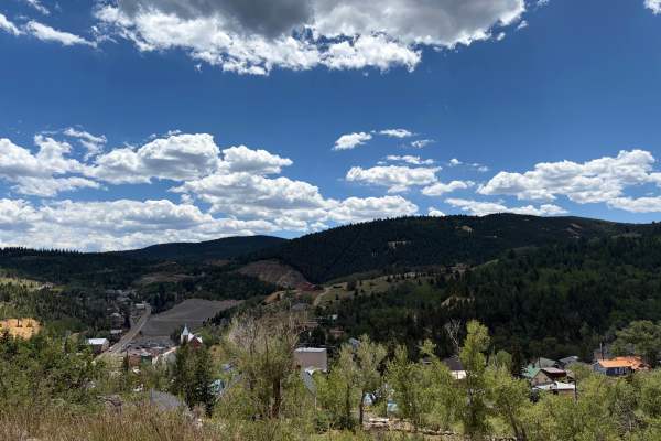
Barrett Street
Barrett Street begins as a paved road before quickly transitioning to gravel as it climbs above Central City. The route is generally smooth and easy to travel, with broad views of town, several scenic pullouts, and a few short offshoot trails worth exploring. Watch for loose gravel, local traffic, a...
Learn more about Barrett Street
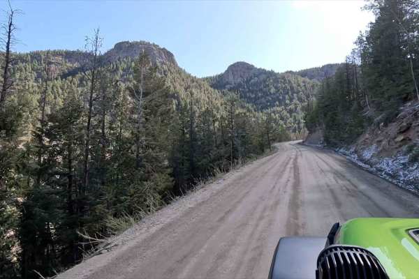
Little Bear Creek Road - FS 151
Little Bear Creek Road (FS 151) provides an excellent scenic alternative to paved routes when traveling between the CO-103 corridor and Idaho Springs. This 6.2-mile well-maintained dirt road offers stunning mountain views while remaining accessible to any vehicle - despite intimidating warning signs...
Learn more about Little Bear Creek Road - FS 151

Missouri Gulch Road - CR 15S/15N
This trail begins off Highway 119 and just south of the start of the Pickle Gulch trail. The majority of this trail consists of a dirt road, with some single-lane sections winding through private property. Pay attention to and respect private property signage. You'll see many ruins of old mining act...
Learn more about Missouri Gulch Road - CR 15S/15N
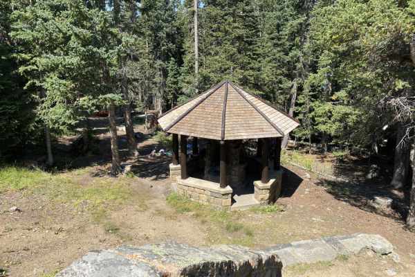
Old Squaw Pass East
This trail begins off of Squaw Pass Road. At the trailhead, you will see a sign for "Historic Arapaho Springs". This is an easier trail in dry conditions, accessible by stock 4WD vehicles and higher clearance 2WD. In wet or snowy conditions, 4WD is recommended. The trails are comprised of dirt and r...
Learn more about Old Squaw Pass East
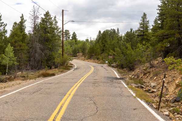
Nevadaville Loop
Nevadaville Loop is a graded, wide gravel road that offers a flowy and easy drive through Colorado's historic mining country. The route is washboarded in places but remains free of obstacles, making it suitable for most vehicles in dry conditions. Along the way, you'll pass through the residential a...
Learn more about Nevadaville Loop
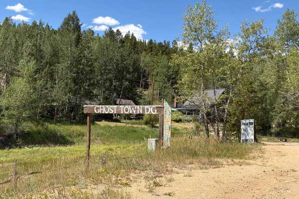
Upper Russell Gulch Road
Upper Russell Gulch Road is an easy gravel route through a historic mountain community. The road is wide, smooth, and suitable for most vehicles in dry conditions. The route passes forested hillsides, old utility structures, and several historic buildings. There are no major obstacles, though driver...
Learn more about Upper Russell Gulch Road
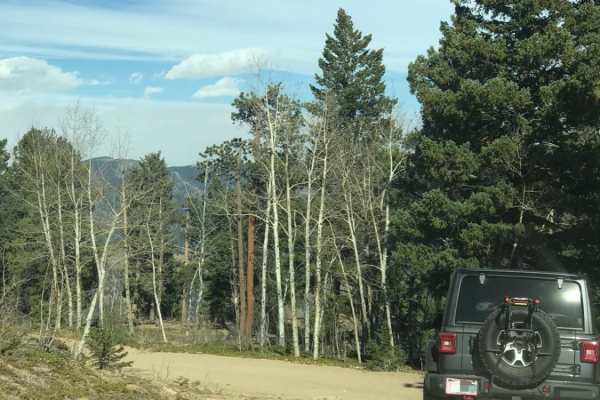
Santa Fe Trail
This is an easy, one-way trail with a few places to pass and some rocky and washed-out sections. You'll find a handful of dispersed campsites and great views of Idaho Springs. The end of the trail is a gate leading to private property, and there is plenty of room to turn around.
Learn more about Santa Fe Trail
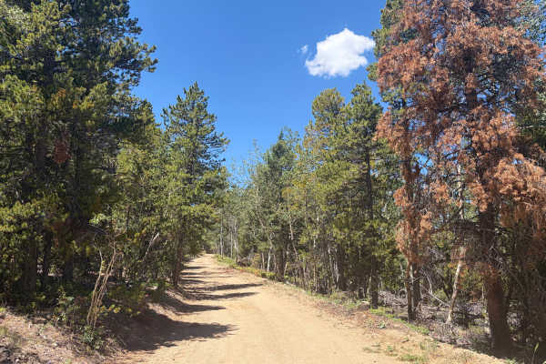
Church Placer Road
Church Placer Road is an easy gravel route through forest, aspen groves, open meadows, and mountain terrain. The road is generally smooth and wide enough for full-size vehicles, with only a few rocky sections, loose gravel, light washboarding, and a cattle guard along the way. There are no major obs...
Learn more about Church Placer Road
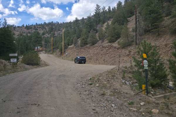
Two Brothers Road
Two Brothers Road is a simple dirt road with scenic views, lots of leftover mining equipment as well as sealed mine shafts littering the road, and, depending on the time of year, wash-boarding so bad your fillings will rattle out. At the north end of the road, concrete briefly interrupts the dirt be...
Learn more about Two Brothers Road
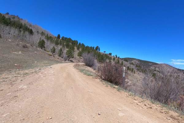
Switzerland Trail - North
This trail continues from the famous Switzerland Trail on the north side of Gold Hill Road and exits on Sawmill Road. It offers varied rocky terrain similar to the southern Switzerland Trail, with the addition of deep mud holes, scenic views, and an early option to explore the in-and-out Knob Hill t...
Learn more about Switzerland Trail - North
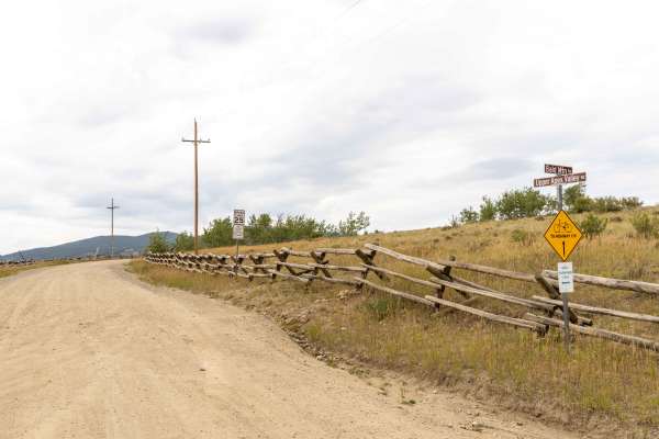
Apex Road
Apex Road is a scenic, historic route perfect for beginners and intermediate offroaders looking to explore Colorado's rich mining heritage while enjoying beautiful mountain vistas. Starting from Central City and heading north to Tolland, this trail transitions from a smooth, graded gravel road in th...
Learn more about Apex Road
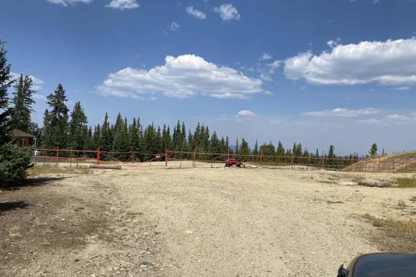
Old Squaw Pass Central
This trail can accessed from either the Squaw Mountain Lookout trail or the Old Squaw Pass East Trail. The trail is blocked in the middle by a gated section of private property which prevents you from accessing the full trail at one time. The trail consists of dirt and rock road that is easily acce...
Learn more about Old Squaw Pass Central
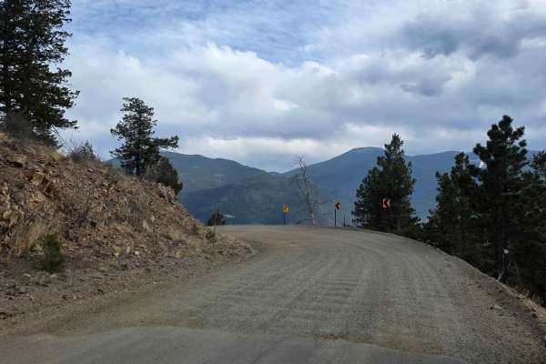
Virginia Canyon Road
Virginia Canyon Road is a simple dirt road with scenic views and lots of leftover mining equipment. While the road is generally plenty wide, there are occasionally times when you will share the road with mining company trucks hauling large vehicles and taking up space. This may require some maneuver...
Learn more about Virginia Canyon Road
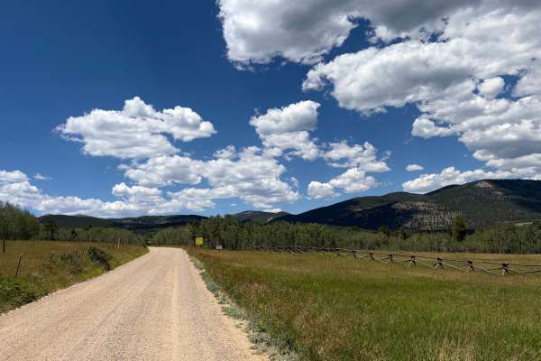
Columbine Road
Columbine Road is an easy gravel route through open meadows, aspen groves, and forested mountain terrain. The road provides access to Columbine Campground and a large OHV staging area. Regular cars were on the road; nothing challenging here. The road is generally wide, smooth, and suitable for most ...
Learn more about Columbine Road
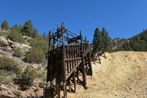
Virginia Canyon Road 279
Virginia Canyon Road 279 is a wide, generally well-maintained gravel road climbing above Idaho Springs. The route offers expansive views across the surrounding mountains and down toward town while passing through a mix of pine forest, exposed hillsides, and historic mining areas. Remnants of old woo...
Learn more about Virginia Canyon Road 279
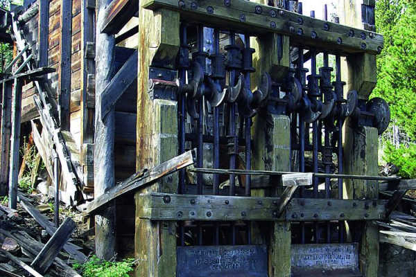
West Magnolia
West Magnolia is a scenic, beginner-friendly offroad route winding through the Roosevelt National Forest near Rollinsville, offering a network of intersecting forest roads, dispersed camping, and access to historic mining ruins. Spanning approximately 4.2 miles, this trail starts at an elevation of ...
Learn more about West Magnolia
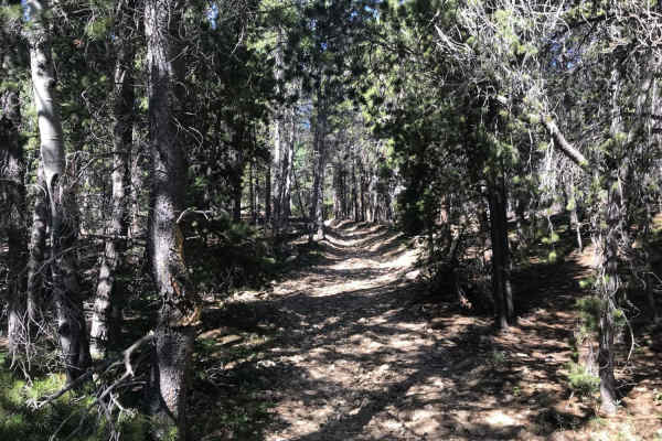
Buckeye Mountain Road 512.1
A fun, out and back trail with a great campsite a few hundred feet up the trail, and an abandoned mining site just past that. The trail is fairly narrow. 4WD wasn't required, but definitely helpful on the loose rock and dirt. The trail culminates at the border with private property and a closed gate...
Learn more about Buckeye Mountain Road 512.1
Beginner ATV trails near Welby, Colorado
Explore ATV-friendly trails near you. These trails are accessible for vehicles up to 50 inches wide, perfect for ATVs and smaller off-road machines.
Gross Reservoir
This is a super fun, single lane road to amazing camping. You'll camp above the reservoir and fish, canoe, kayak and relax. No swimming. Open to licensed and unlicensed vehicles. Trail is open from May 15 to November 30.
Learn more about Gross Reservoir
Peewink
Peewink is a scenic, beginner-friendly trail ideal for stock four-wheel-drive vehicles, SxSs, and dirt bikes looking for easy access to beautiful dispersed camping in the Roosevelt National Forest. Spanning approximately 1.9 miles near Nederland, Colorado, this route winds through dense pine forests...
Learn more about Peewink
Barrett Street
Barrett Street begins as a paved road before quickly transitioning to gravel as it climbs above Central City. The route is generally smooth and easy to travel, with broad views of town, several scenic pullouts, and a few short offshoot trails worth exploring. Watch for loose gravel, local traffic, a...
Learn more about Barrett Street
Upper Russell Gulch Road
Upper Russell Gulch Road is an easy gravel route through a historic mountain community. The road is wide, smooth, and suitable for most vehicles in dry conditions. The route passes forested hillsides, old utility structures, and several historic buildings. There are no major obstacles, though driver...
Learn more about Upper Russell Gulch Road
Beginner UTV/side-by-side trails near Welby, Colorado
Find UTV and side-by-side trails near you. These trails accommodate vehicles up to 60 inches wide, ideal for UTVs, side-by-sides, and wider off-road rigs.
Gross Reservoir
This is a super fun, single lane road to amazing camping. You'll camp above the reservoir and fish, canoe, kayak and relax. No swimming. Open to licensed and unlicensed vehicles. Trail is open from May 15 to November 30.
Learn more about Gross Reservoir
Peewink
Peewink is a scenic, beginner-friendly trail ideal for stock four-wheel-drive vehicles, SxSs, and dirt bikes looking for easy access to beautiful dispersed camping in the Roosevelt National Forest. Spanning approximately 1.9 miles near Nederland, Colorado, this route winds through dense pine forests...
Learn more about Peewink
Barrett Street
Barrett Street begins as a paved road before quickly transitioning to gravel as it climbs above Central City. The route is generally smooth and easy to travel, with broad views of town, several scenic pullouts, and a few short offshoot trails worth exploring. Watch for loose gravel, local traffic, a...
Learn more about Barrett Street
Upper Russell Gulch Road
Upper Russell Gulch Road is an easy gravel route through a historic mountain community. The road is wide, smooth, and suitable for most vehicles in dry conditions. The route passes forested hillsides, old utility structures, and several historic buildings. There are no major obstacles, though driver...
Learn more about Upper Russell Gulch Road
The onX Offroad Difference
onX Offroad combines trail photos, descriptions, difficulty ratings, width restrictions, seasonality, and more in a user-friendly interface. Available on all devices, with offline access and full compatibility with CarPlay and Android Auto. Discover what you're missing today!
Open Trail Map