Trail Overview
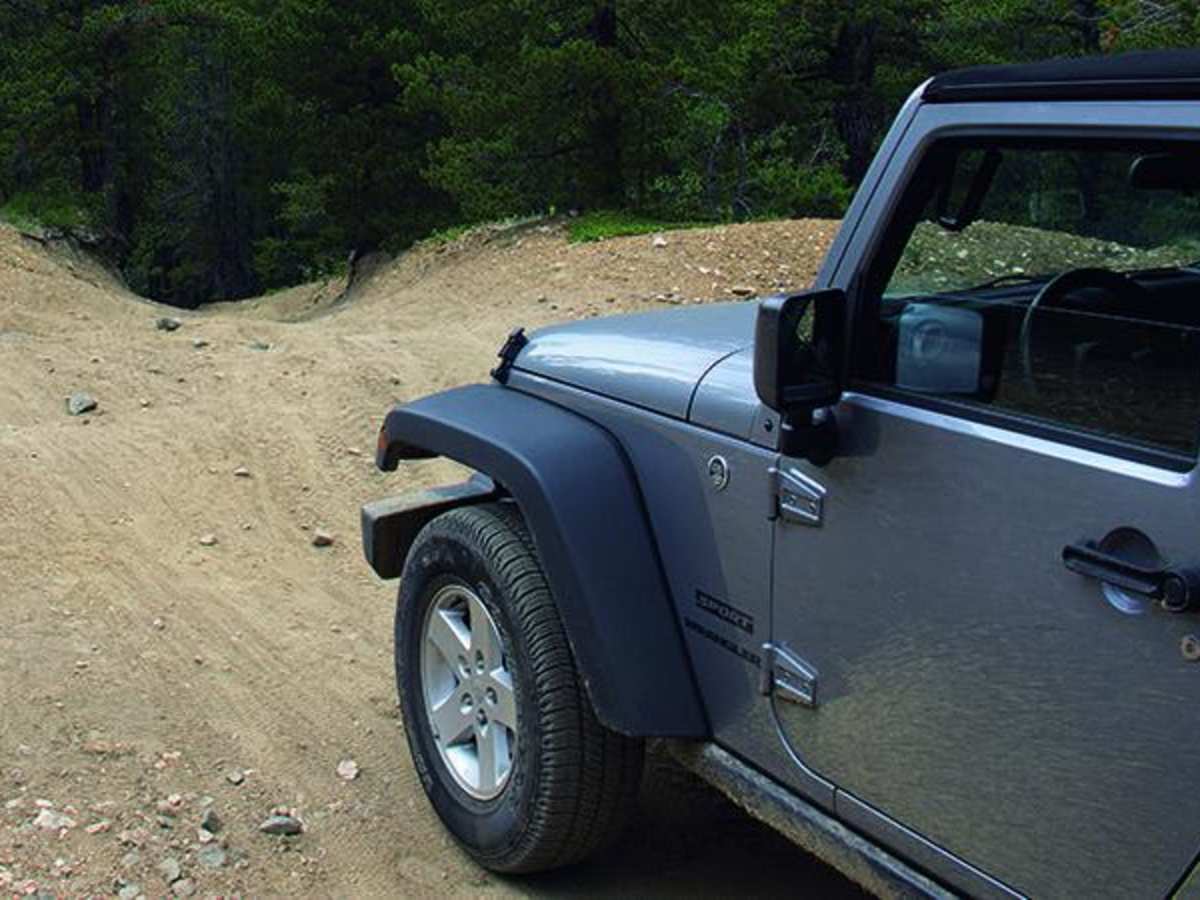
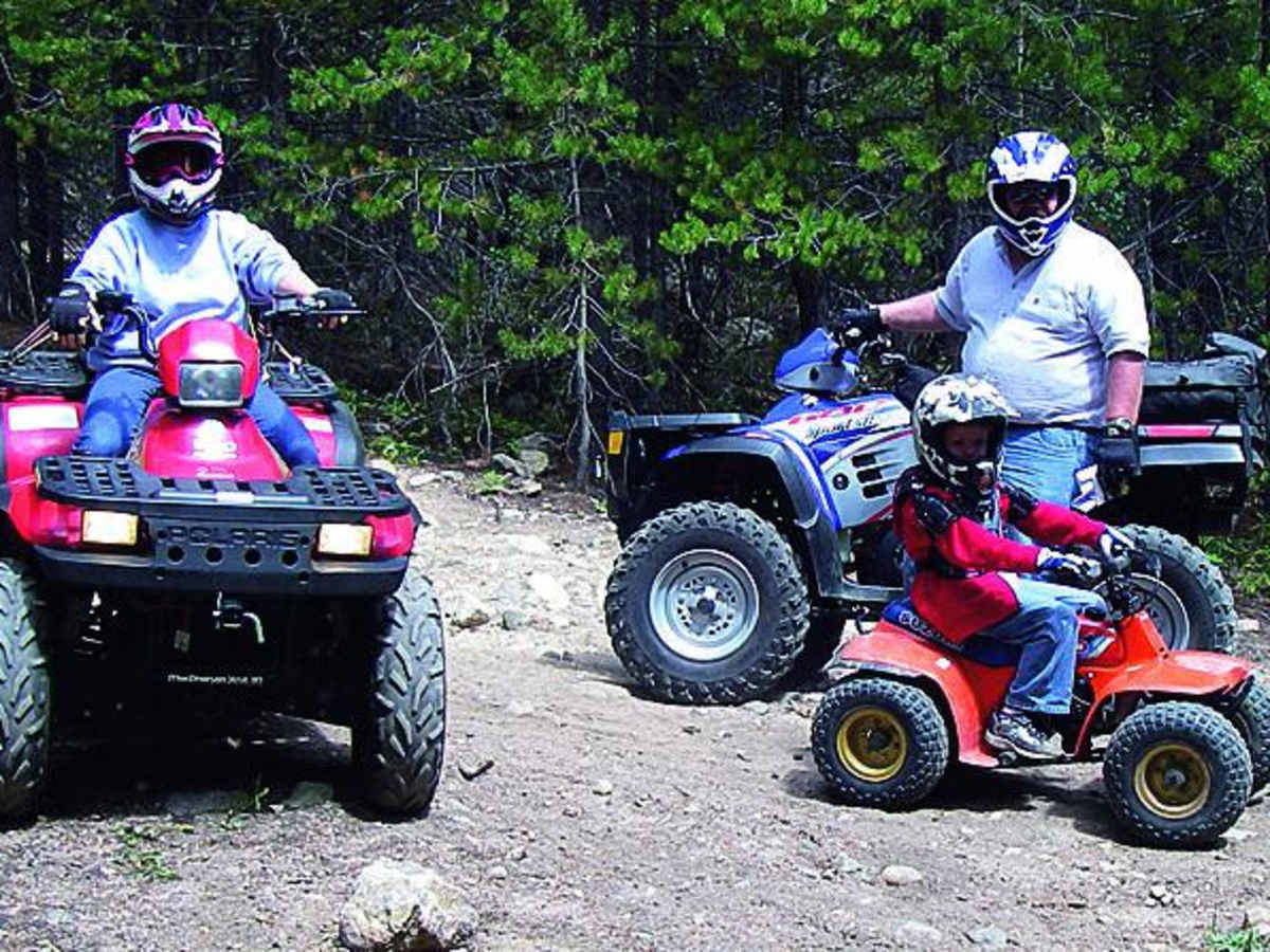
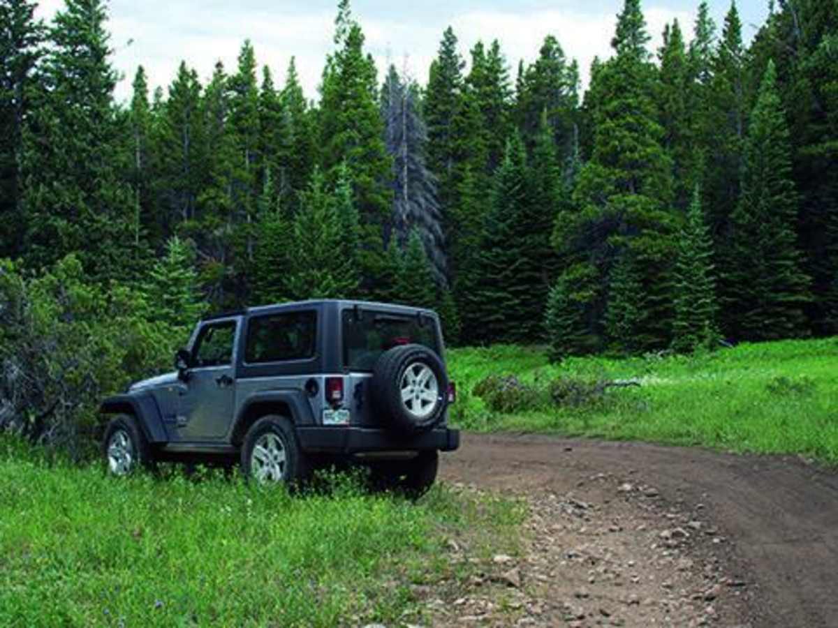
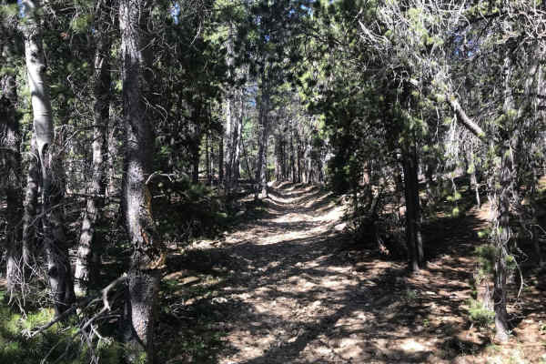
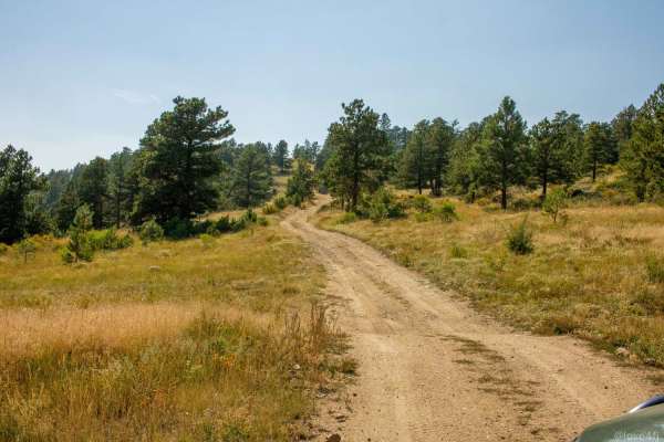
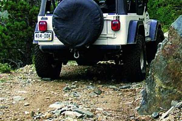
West Magnolia is a scenic, beginner-friendly offroad route winding through the Roosevelt National Forest near Rollinsville, offering a network of intersecting forest roads, dispersed camping, and access to historic mining ruins. Spanning approximately 4.2 miles, this trail starts at an elevation of 8,512 feet and climbs to a peak of 9,335 feet with a technical rating of 2. It is ideal for high-clearance four-wheel-drive vehicles, SUVs, and SxSs, though dirt bikes are strictly prohibited. The route features narrow passages, rolling undulations, and a notably steep downhill section that can become heavily rutted after severe summer rainstorms.
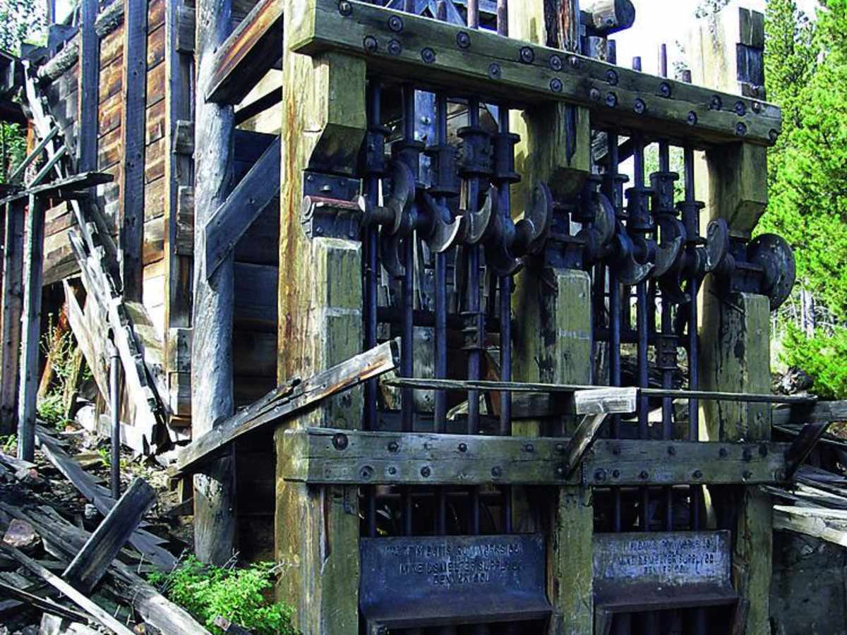
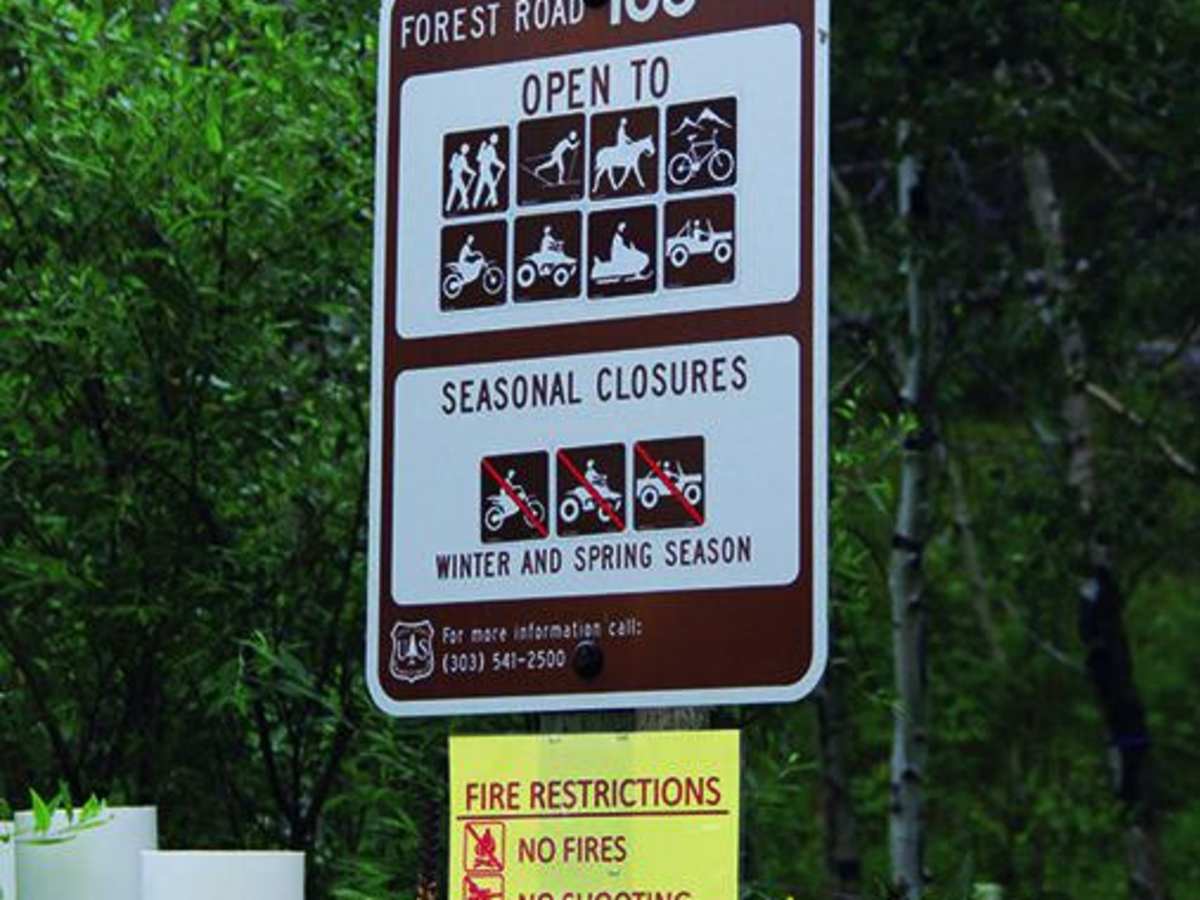
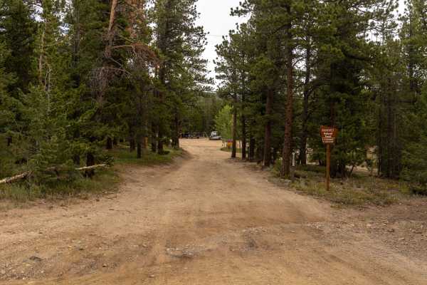
Open seasonally from May 15 to November 30, the trail serves as an excellent gateway to outdoor recreation with designated camping areas most easily accessed via the northern entrance. History buffs can explore the nearby Champion Mine, which operated until 1940 and produced gold and silver for the historic townsite of Phoenix, featuring a 10-stamp press mill that remains a worthwhile short hike from the route. Accessing the southern trailhead is straightforward: from Rollinsville on Highway 119, drive just south of mile marker 21, head west for 0.8 miles on County Road 16, and turn right uphill onto Forest Service Road 105. Alternatively, the northern end can be reached by parking at the lot on Highway 119 about a mile north of the Highway 72 intersection and following West Magnolia Road west for 1.4 miles to Forest Service Road 355 on the left.
History
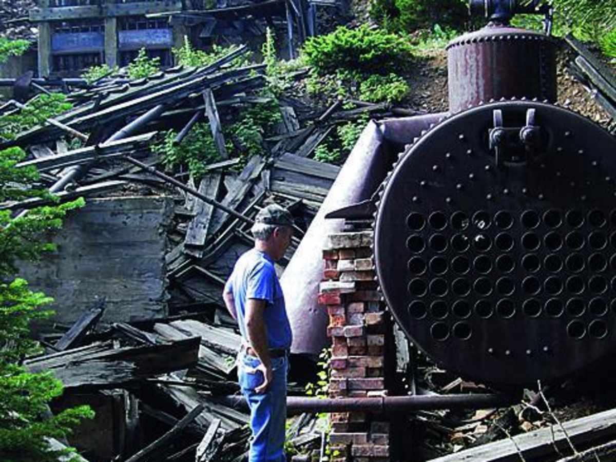
The nearby Champion Mine operated until roughly 1940, producing gold and silver. It featured a 250-foot deep main shaft with cross-cut shafts ranging from 80 to 150 feet long, supporting a small company town named Phoenix. Several historic buildings, including an assay office, boarding house, blacksmith shop, pump house, and the president's cottage, originally stood at the site. A historic 10-stamp press mill still remains at the location and is a popular destination for visitors willing to hike to it.

 Offroad