Trail Overview
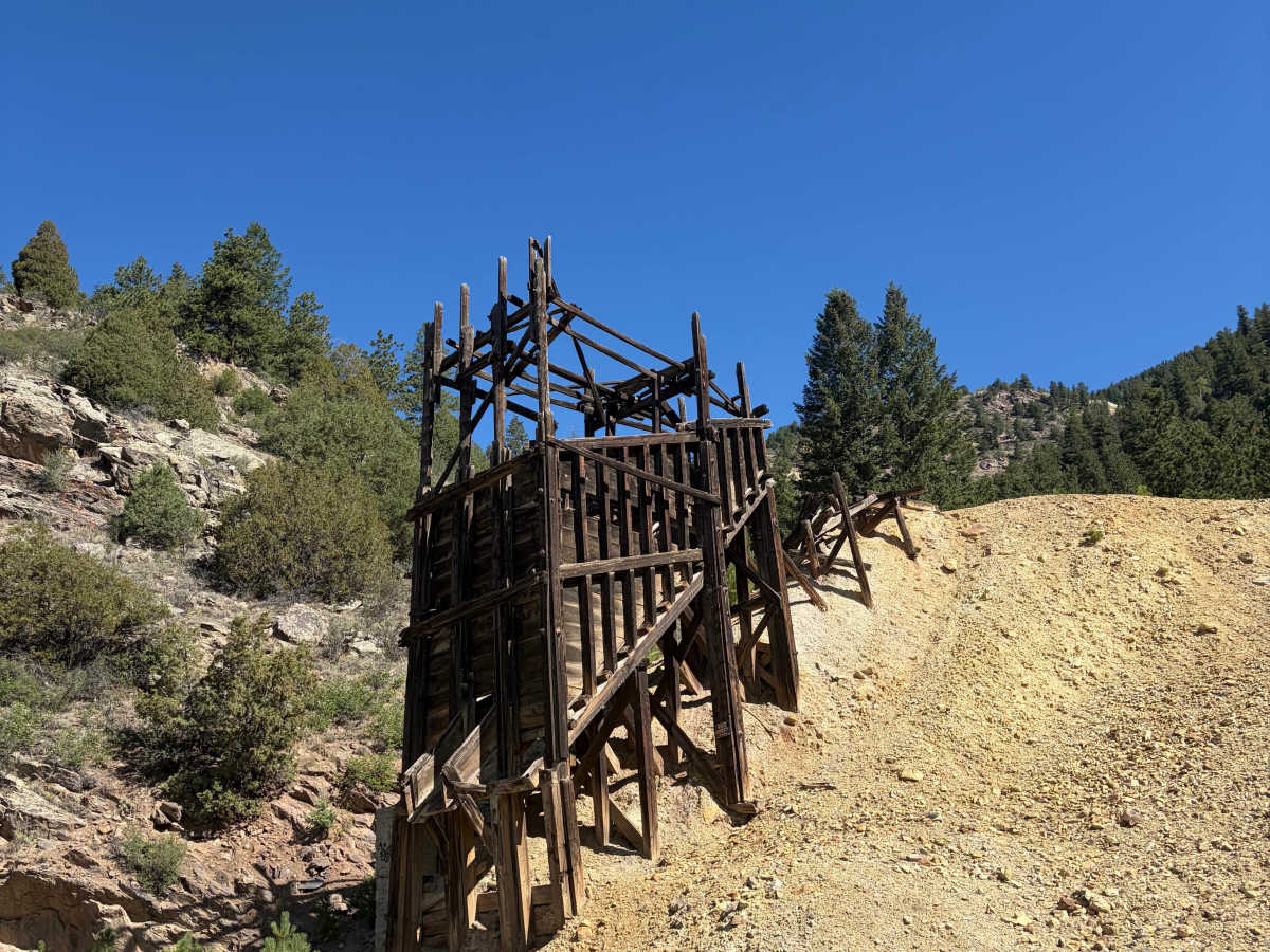
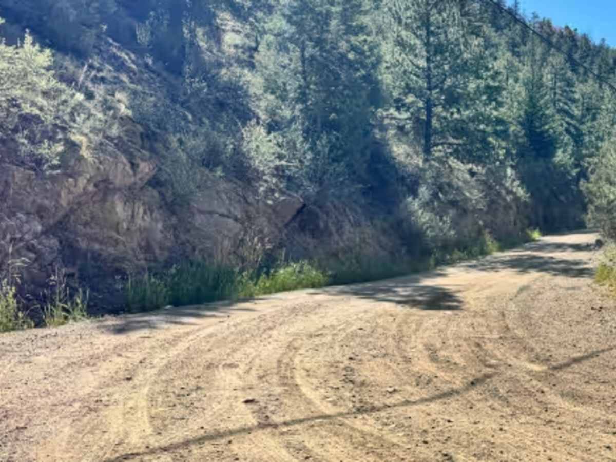
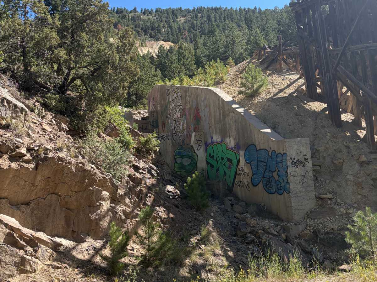
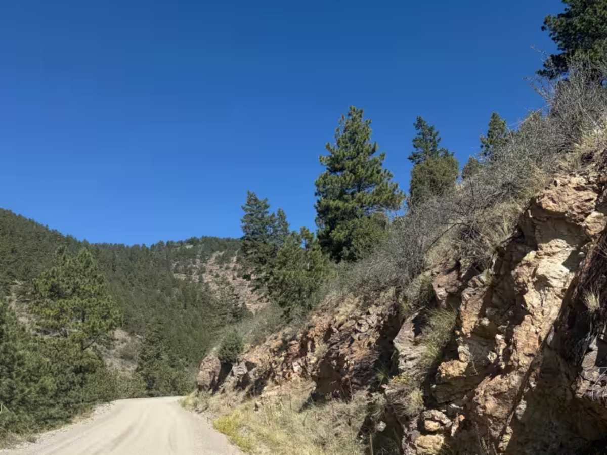
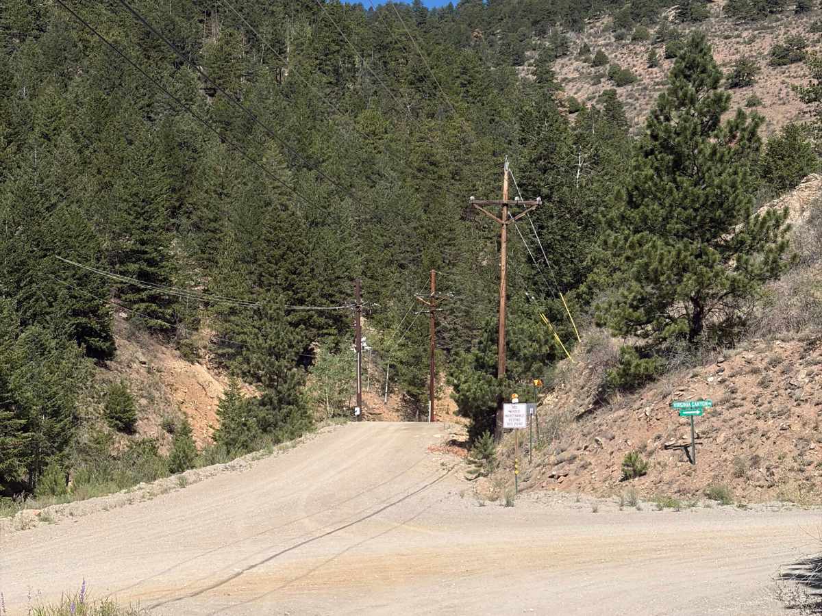
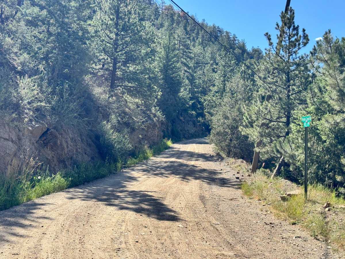
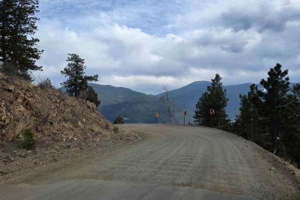
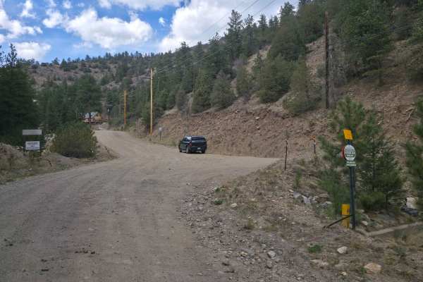
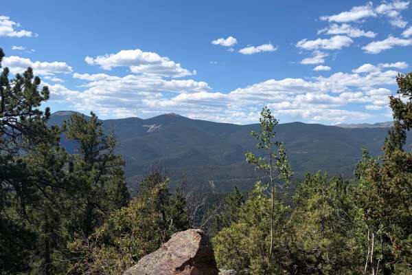
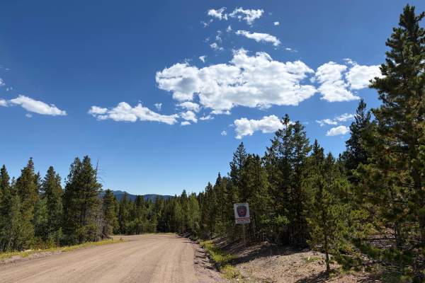
Virginia Canyon Road 279 is a wide, generally well-maintained gravel road climbing above Idaho Springs. The route offers expansive views across the surrounding mountains and down toward town while passing through a mix of pine forest, exposed hillsides, and historic mining areas. Remnants of old wooden mining structures and other abandoned infrastructure can be seen beside the road, adding historical interest to an otherwise relaxed scenic drive. Several wider areas and pullouts provide room to stop briefly, allow another vehicle to pass, or take in the views. The road consists primarily of compact gravel with occasional loose rock, shallow washboarding, and minor surface erosion. Most sections are wide enough for comfortable travel, and the available pullouts make meeting oncoming traffic relatively easy. As the route gains elevation, drivers are treated to increasingly broad views of Idaho Springs and the surrounding mountain valleys. The road passes rocky cuts, forested slopes, utility lines, and several visible remnants of the area’s mining history. There are no major technical obstacles under normal, dry conditions. Virginia Canyon Road 279 is rated easy because of its broad roadway, graded surface, and lack of significant obstacles. Drivers should still watch for loose gravel, potholes, washboarding, falling rock, and occasional erosion near the road edges. Most vehicles should be capable of traveling the road during dry conditions, although additional ground clearance and all-terrain tires may be helpful if the surface has deteriorated. Rain, snow, ice, or recent grading activity can substantially change road conditions. The primary highlights are the elevated views overlooking Idaho Springs, surrounding mountain scenery, and historic mining remains located along the route. Use caution around abandoned structures, unstable slopes, and old mine features. These areas may contain weakened wood, loose rock, hidden openings, or other hazards. Stay on the established roadway and use existing pullouts rather than creating new parking areas. Do not climb on or enter abandoned mining structures. Conditions may become muddy, icy, or snow-covered during poor weather, so check current access and road status before traveling.