Trail Overview
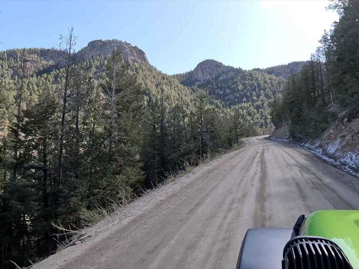
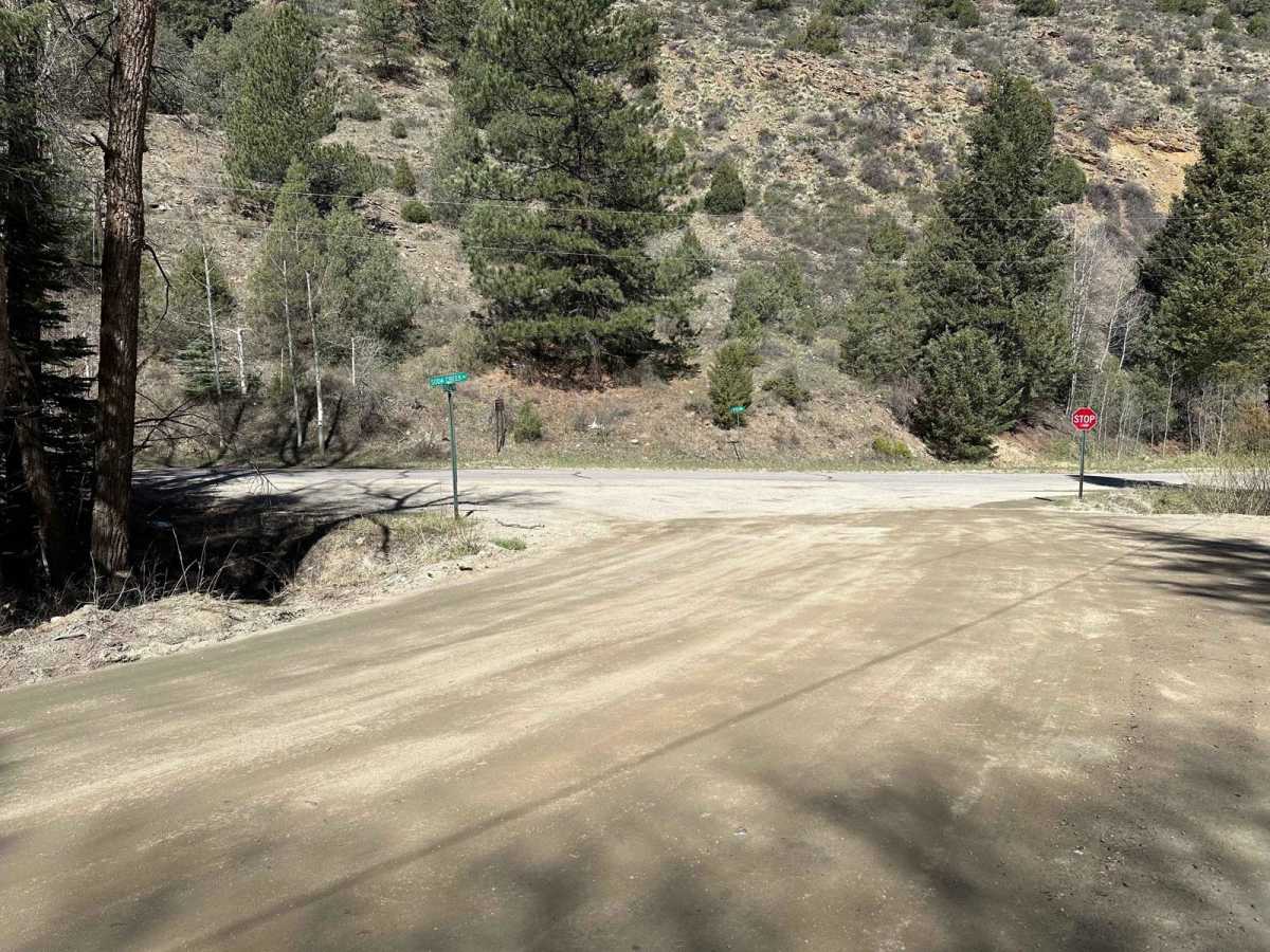
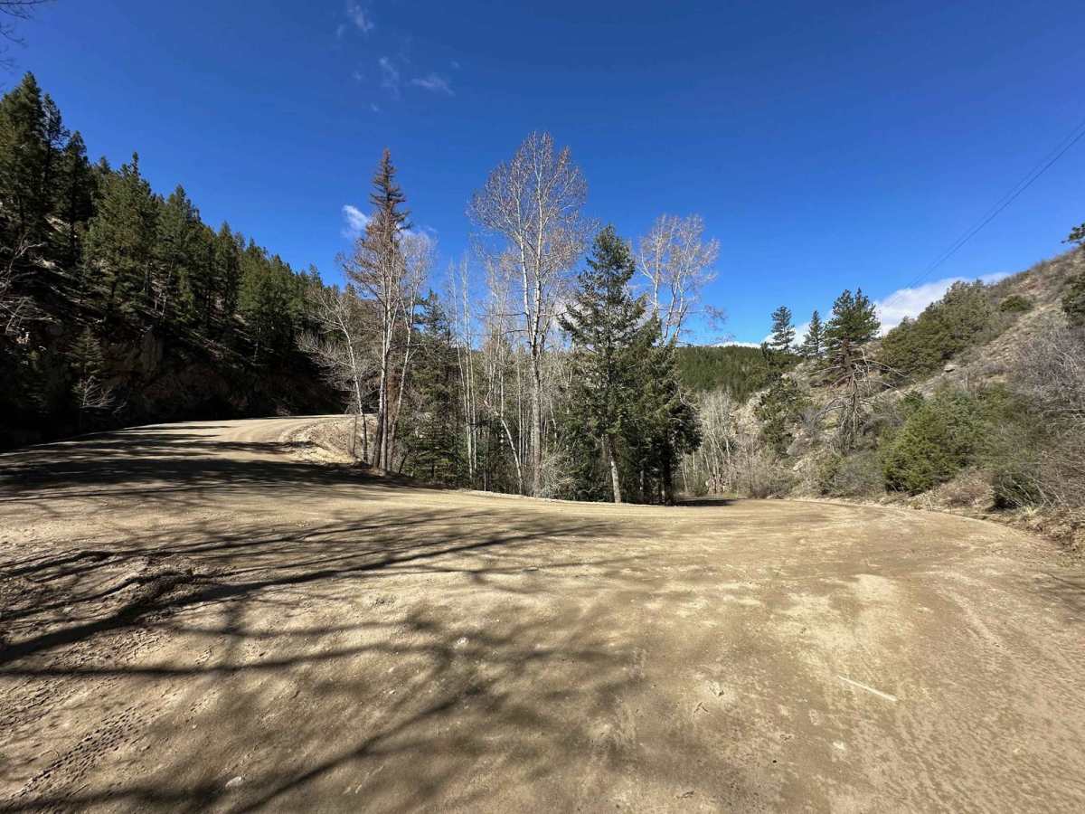
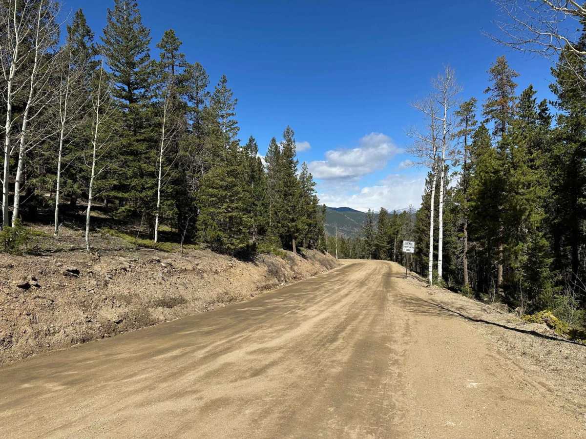
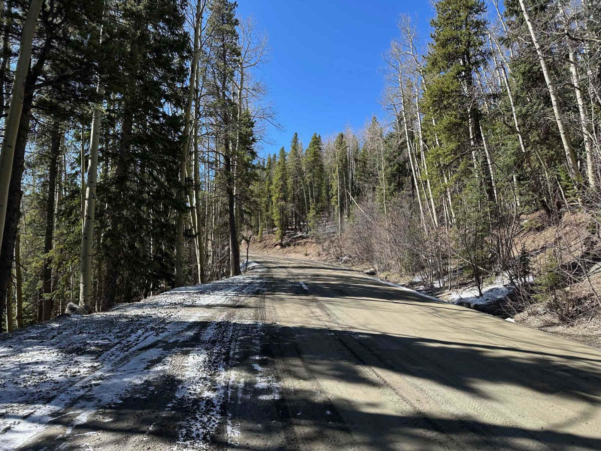
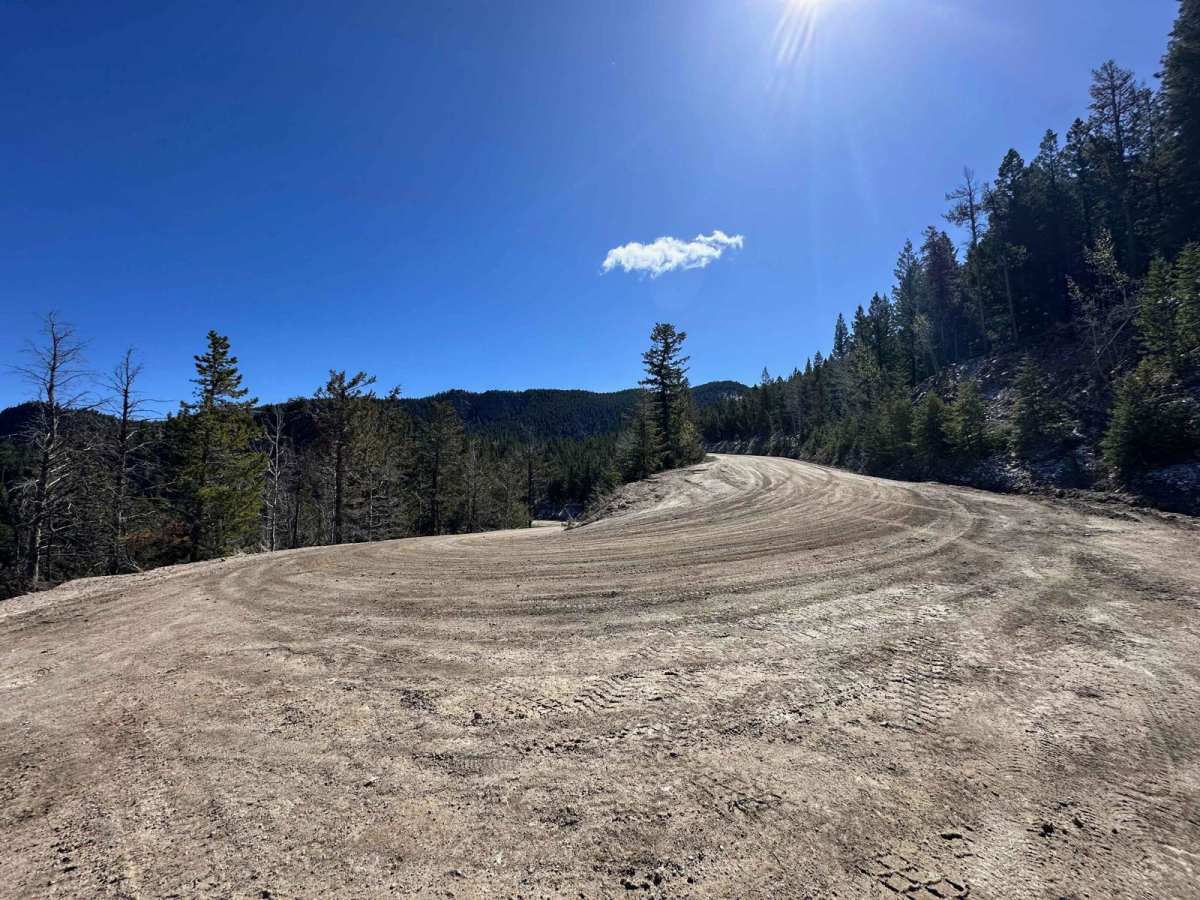
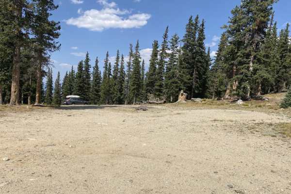
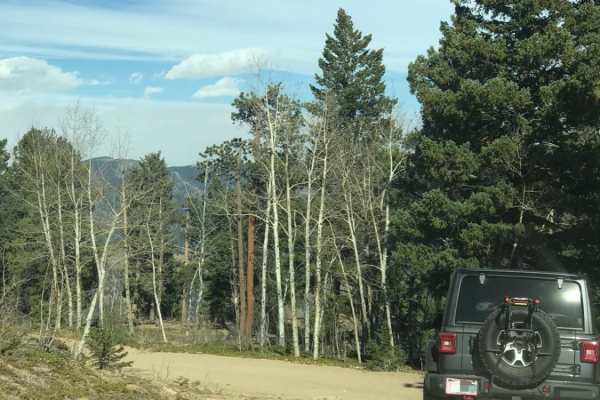
Little Bear Creek Road (FS 151) provides an excellent scenic alternative to paved routes when traveling between the CO-103 corridor and Idaho Springs. This 6.2-mile well-maintained dirt road offers stunning mountain views while remaining accessible to any vehicle - despite intimidating warning signs that might deter less experienced drivers. The route serves as a reliable connector between Soda Creek Road (a couple of miles south of I-70/Idaho Springs) and the junction of CO-103 and CO-422. Most drivers can complete the journey in approximately 30 minutes, making it both practical and scenic. The road maintains consistent grading throughout, with only minor washboard sections around some hairpin turns on the eastern end. Vehicle Requirements: Any 4WD vehicle can easily handle this route. Stock 2WD vehicles should have no difficulty on the maintained portions. The road shows clear signs of regular local use. Direction Recommendations: Traveling west to east (Idaho Springs toward CO-103) offers the best scenic experience, as the uphill direction allows drivers to better appreciate mountain views. The eastern hairpin turns near Warren Gulch provide exceptional vistas of Front Range peaks, including Colorado Mines Peak, Stanley Mountain, and Mount Flora along the Continental Divide. Important Navigation Note: A junction partway along the route connects to FS 155, with legitimate warning signs about GPS reliability. This route passes through private property and should be avoided. Stay on the main Little Bear Creek Road to remain on public forest land. Seasonal Considerations: Signs at the eastern entrance indicate the road isn't maintained during winter weather. Expect seasonal closures during snow months. The route was completely snow-free and easily passable in mid-May. Road Sharing: Residents frequently use this road, creating potential for unexpected encounters around curves. Drive defensively and be prepared to yield at narrow sections. The road generally provides adequate width for passing, but courtesy and awareness are essential. This trail appeals particularly to drivers seeking either a practical mountain connector route or an accessible off-pavement experience without technical challenges. The combination of scenic beauty, reliable road conditions, and easy access makes it an excellent introduction to forest service roads for less experienced off-road drivers.
History
Little Bear Creek Road serves as a maintained forest service connector route in the Arapaho National Forest, managed by the Clear Creek Ranger District. The road provides historical access between mining areas and maintains its role as a practical transportation corridor for local residents.