Apex Road

Total Miles11.4
Technical Rating
3Easy
Best TimeSummer, Fall, Spring
Trail TypeFull-Width Road
Accessible By
Open Trail Map

Trail Overview

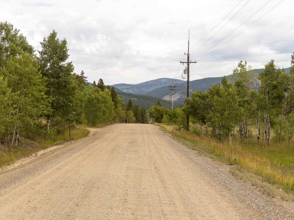
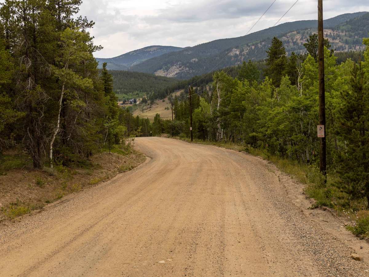
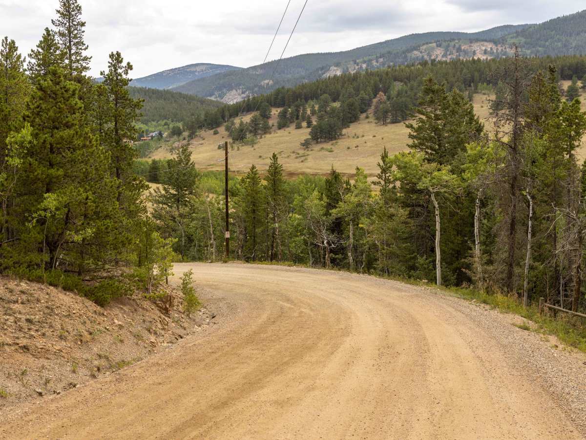
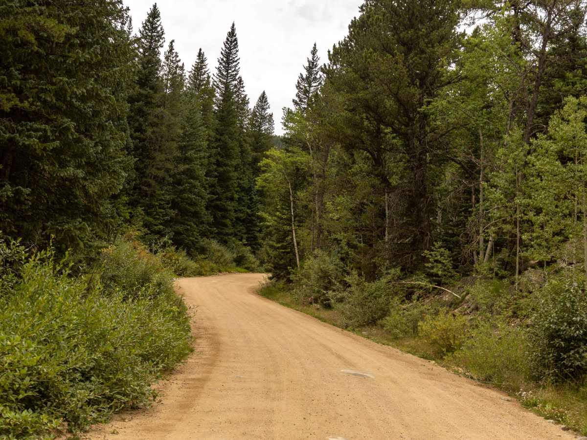
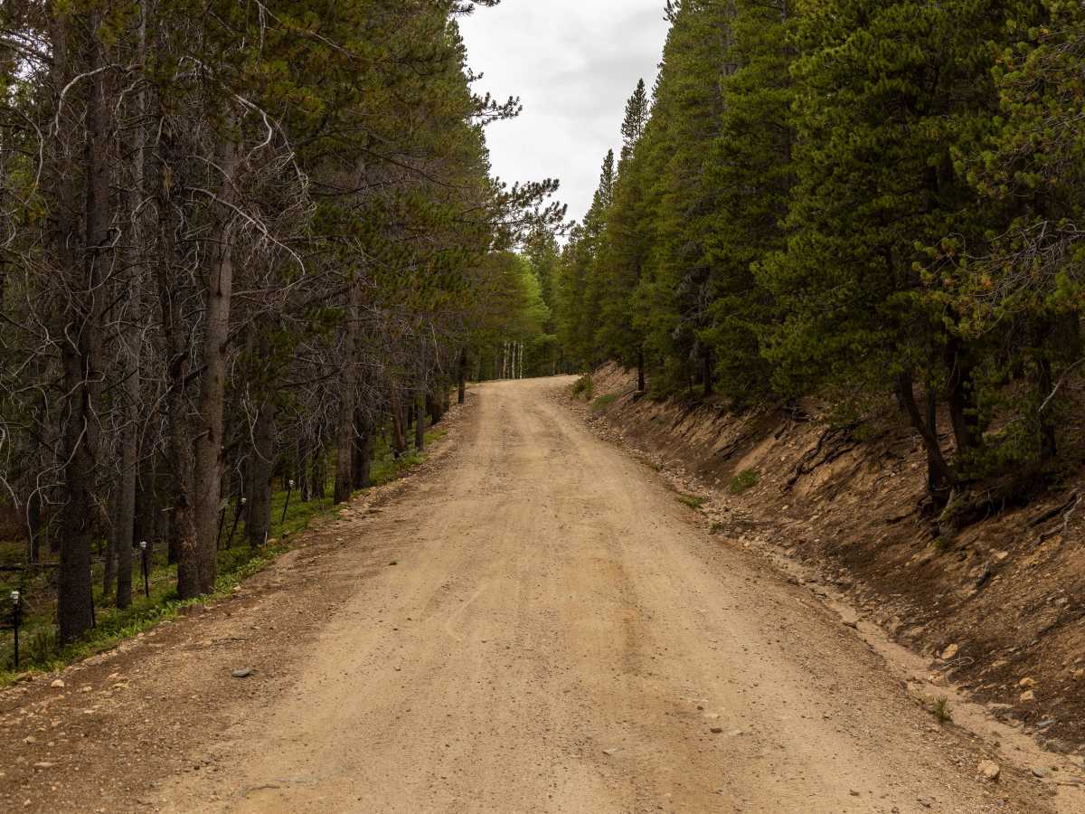
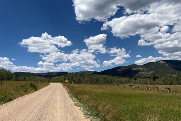
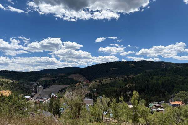
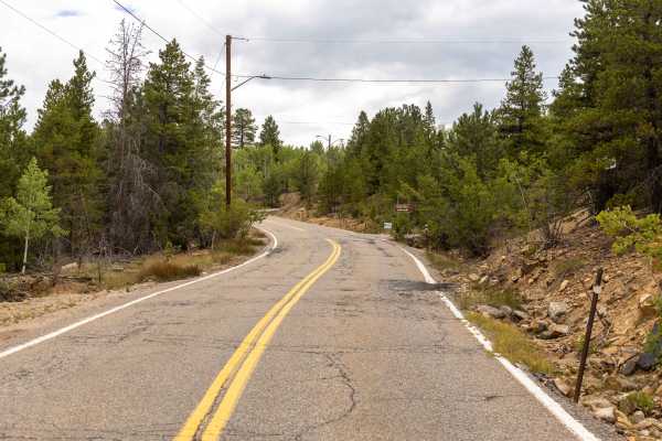
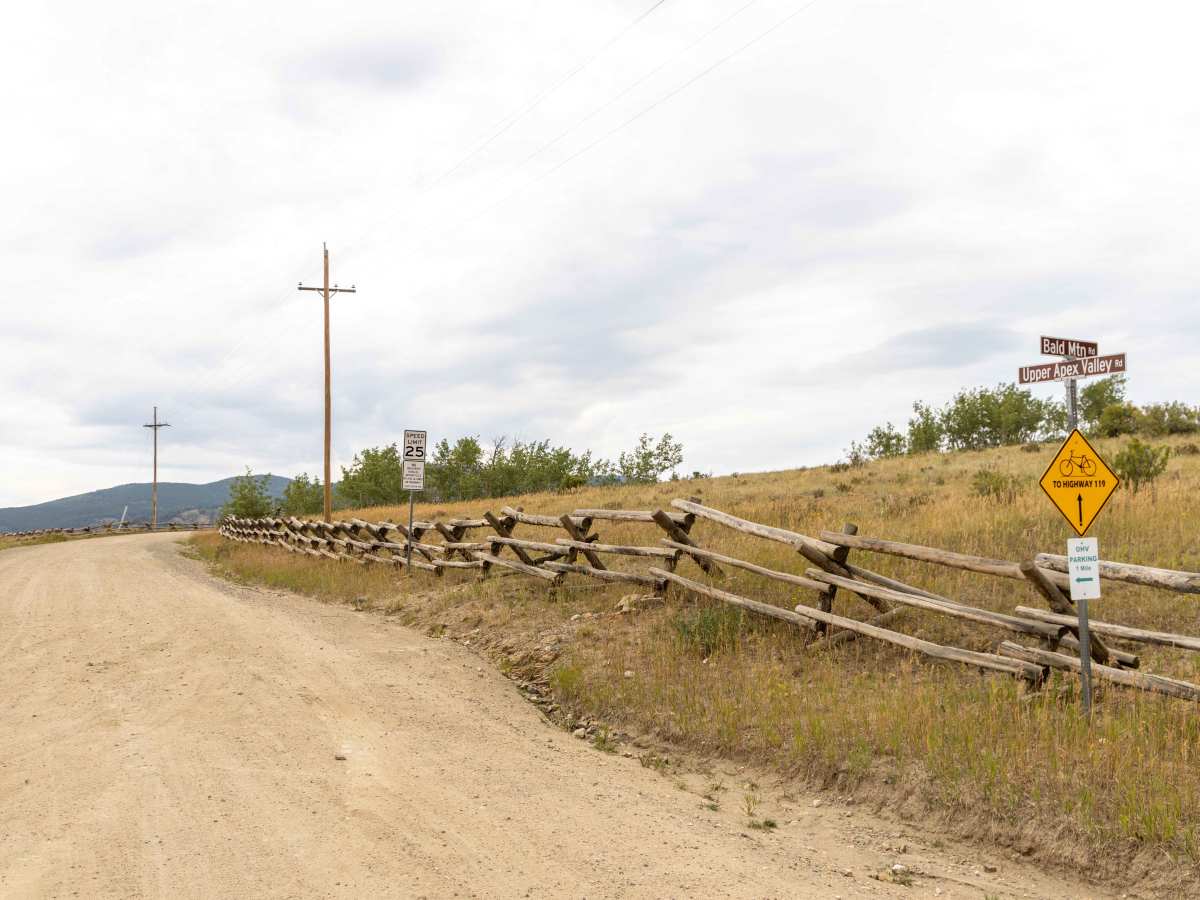
Apex Road is a scenic, historic route perfect for beginners and intermediate offroaders looking to explore Colorado's rich mining heritage while enjoying beautiful mountain vistas. Starting from Central City and heading north to Tolland, this trail transitions from a smooth, graded gravel road in the south to a progressively rougher, unpaved track as it winds through the pine forests. The route is highly accessible for stock, high-clearance four-wheel-drive vehicles, SUVs, and SxSs during dry conditions, offering a scenic drive that showcases the rugged beauty of the Front Range. As the trail advances north and joins Elk Park Road, the terrain becomes bumpier with minor erosion, shallow ruts, and loose rock, requiring careful line selection to avoid bottoming out on the uneven surface. The northern descent introduces mud puddles beneath the forest canopy and steeper hillsides that can become slick and challenging after rain or snowmelt. Along the route, travelers will discover several dispersed camping opportunities, making it an excellent multi-day hub for hunters, hikers, and campers seeking deep forest immersion. This trail serves as a gateway to other legendary offroad trails in the area, such as Mammoth Gulch and Kingston Peak, allowing drivers to customize their journey through the historic Gilpin County mining district. Standard four-wheel-drive is highly recommended, especially on the northern end, to safely navigate the rocky, undulating sections and any potential muddy patches.

Photos of Apex Road

Difficulty

While there are no major obstacles, the hills do have loose rocks and ruts on them, with puddles in the trees as you descend on the northern end of the trail. This trail has the potential to be challenging during or after a moisture event.

History

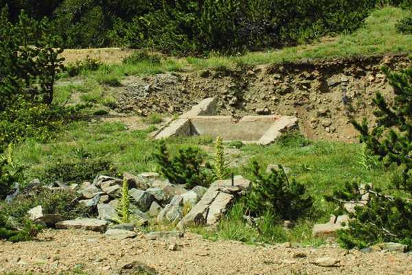
Apex Road passes near the historic ghost town of Apex, which was established in 1891 during Colorado's gold rush. At its height, the town had a population of approximately 1,000 residents and featured amenities such as hotels, a dance hall, and its own newspaper. Remnants of this historic mining settlement remain visible along the route, which also provides access to neighboring historical tracks such as Mammoth Gulch and Kingston Peak.

Technical Rating

3

Status Reports

Add Status Report
j Willis
Aug 11, 2026
Open
Dusty
I don’t think this is ATV SXS Rated
ADAM RUSH
Aug 01, 2026
2023 Ford Bronco
Open
Normal
javier Martinez
Aug 01, 2026
2025 Jeep Wrangle 4dr 4xe
Open
First 1/3 service road with some pav/chip-n-seal. Middle is slight incline with small rocks and loose gravel. End is rough but not rough enough to stop a Nissan coup and ram 2500 4dr long box.
Blake Harper
Aug 01, 2026
2021 Ford F-Series
Open
Rough/Deteriorated
Not especially interesting or fun. Trail is completely full of watermelon size rocks making travel slow going, even at 15 psi. Idk why people do this if there aren’t any good trails to run or hike up here and practically no campgrounds with good views or seclusion. Do people feel like it’s fun to “wheel” this? lol
Josh Popejoy
Jul 23, 2026
2025 Chevrolet Colorado
Open
Normal
Beautiful day and had a great view at the top of the trail. Pretty boney with a couple of spots you may need to choose your line to avoid scraping but pretty easy and passable. Should be good with 8+ inches clearance. Take it slow and stay wide on the sharp turn at Kingston peak rd.
Logan
Jun 22, 2026
2022 Ford F-Series
Open
Normal
Washout at hairpin with start of Kingston peak north was deep. Id be cautious
Ben Sheets
Jun 20, 2026
2024 Toyota Land Cruiser
Open
There’s one washout getting deeper. The trail doesn’t allow much other than just nose straight in.
Jon
Jun 19, 2026
2021 BMW RnineT
Open
NormalDusty
Dusty, a little more crowded in the afternoon. Nice riding. the road is fully open, no snow anywhere. There was some larger puddles that were a blast to fly through on the bike. Great day
Rene Cruz
Jun 09, 2026
2009 Ford F150
Open
NormalDusty
There was a lot of equipment out there fixing up the roads. Almost no washboards. Smooth sailing the whole way for us.
Jeffrey Smith
Jun 06, 2026
Open
Rough/Deteriorated
Entered from Tolland southbound to the Kingston Peak turnoff. The trail was dry and pretty rocky. Not too technical, but you will definitely need to air down.
Wiky
May 31, 2026
2007 Toyota Tacoma
Open
Normal
CJ C
May 23, 2026
Open
Muddy/Wet
Trail was open with some slight sow and water runoff.
Shawn Doyle
Apr 06, 2026
Obstructed
Deep Snow
Mammoth gulch is impassable, deep and soft ice makes you sink instantly
Erik Neitzel
Apr 04, 2026
2022 Jeep Gladiator
Obstructed
Deep Snow
The trail is clear until the intersection of Kingston Peak Rd., where deep snow drifts prevent going further.
David King
Feb 09, 2026
2024 Jeep Compas
Open
NormalSnow/Ice
Snow and ice around Apex that require a little extra umpf to get up and some rocky river beds that require a little patience

Apex Road Trail can be accessed by the following ride types:

  • Single Track
  • 50 Inch
  • 60 Inch
  • High Clearance
  • Full Width

Apex Road Map

The onX Offroad Difference

onX Offroad combines trail photos, descriptions, difficulty ratings, width restrictions, seasonality, and more in a user-friendly interface. Available on all devices, with offline access and full compatibility with CarPlay and Android Auto. Discover what you're missing today!

Open Trail Map