
Beginner Off-Road Trails
Near Seven Devils, North Carolina
Explore All Beginner Trails Near Seven Devils, North Carolina
Beginner Off-Road Trails Near Seven Devils, North Carolina
Discover the best beginner-friendly off-road trails near you. These easier, lower-rated trails are a great place to start — browse trail maps, check difficulty ratings, and find your next adventure.
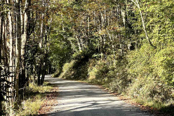
Lee Gualtney Road
Lee Gualtney Road is another enjoyable scenic route through the North Carolina High Country and is similar in character to nearby Andy Hicks Road. The road provides users with an easy and relaxing drive through the mountainous terrain and is free from major obstacles under normal conditions. While t...
Learn more about Lee Gualtney Road
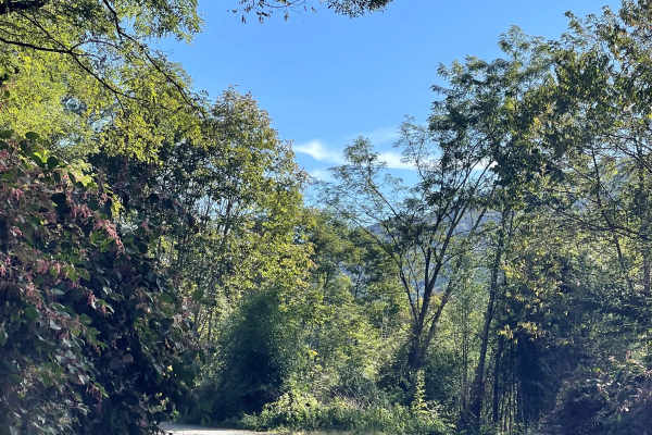
Mill Ridge
Mill Ridge provides users with a scenic connection to the Blue Ridge Parkway along a rough and somewhat rutted two-lane-wide gravel road. Compared with many of the easier gravel routes in the surrounding area, Mill Ridge offers a slightly more rugged driving experience due to several sections of lar...
Learn more about Mill Ridge
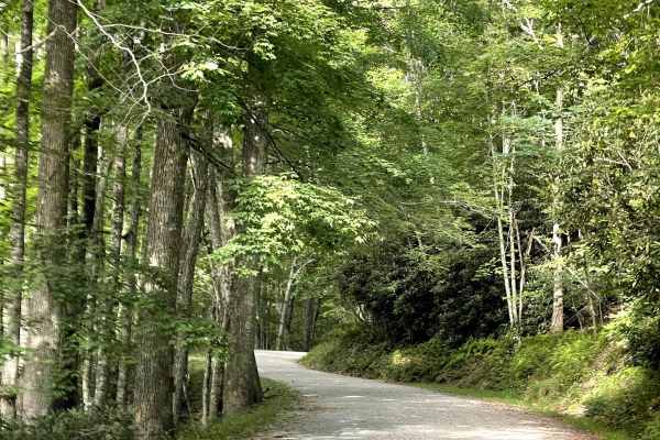
Clarence Newton Road
Clarence Newton Road is a beautiful, well-maintained county gravel road that follows a mountain ridge near Blowing Rock, offering views of the surrounding area along the way. Fall brings colorful foliage, followed by more expansive views as the leaves drop and open sightlines through the trees. The ...
Learn more about Clarence Newton Road
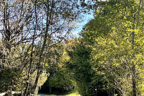
Shawnee Road
Shawnee Road is another scenic route through the North Carolina High Country that is similar in character to many of the surrounding roads. The trail provides an easy and enjoyable drive, with no major obstacles under normal conditions and terrain suitable for all vehicles. What helps Shawnee Road s...
Learn more about Shawnee Road
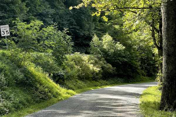
Edgemont Road
Edgemont Road is a prime example of what Western North Carolina wheeling is all about. Tucked just below Grandfather Mountain State Park and paralleling the Blue Ridge Parkway, this well-maintained, two-lane hard-packed gravel road is free of major obstacles and suitable for all vehicle types. Sever...
Learn more about Edgemont Road
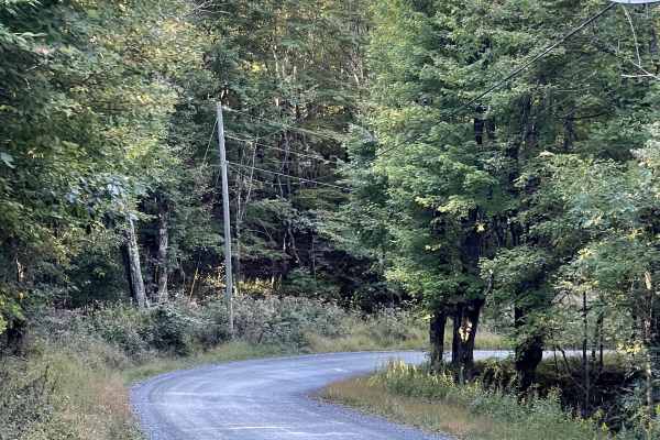
Andy Hicks Road
Andy Hicks Road is a must-run trail for anyone exploring the North Carolina High Country. The road itself is similar to many of the other scenic routes in the area, offering an easy drive that allows users to focus more on the surrounding landscape than on navigating difficult terrain. What truly se...
Learn more about Andy Hicks Road
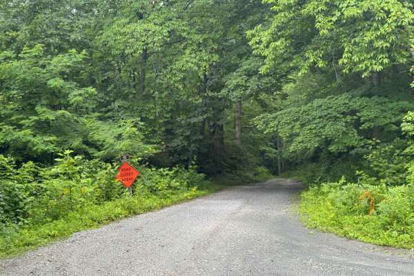
Roseboro Gragg - FS 192
Roseboro Gragg is a rugged, narrow offshoot from Edgemont Road that offers a slightly more challenging drive compared to other trails in the area. The trail is generally manageable for most vehicles with moderate ground clearance, but caution is recommended due to a handful of small ruts, potholes, ...
Learn more about Roseboro Gragg - FS 192
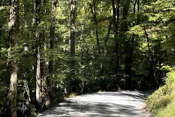
Shulls Mill
Shulls Mill Road provides users with another scenic connection to the Blue Ridge Parkway and offers an easy drive through the beautiful North Carolina High Country. Similar to nearby Mill Ridge, the road is approximately two lanes wide and consists primarily of a well-traveled gravel surface. Unlike...
Learn more about Shulls Mill
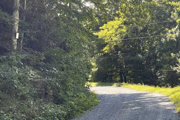
Rackett Branch Road
Rackett Branch Road is an out-and-back trail that is well maintained but features larger, loosely packed gravel stones throughout much of the route. The larger gravel can make vehicles feel unstable, especially since the majority of the trail consists of a steady ascent toward the summit. Drivers sh...
Learn more about Rackett Branch Road
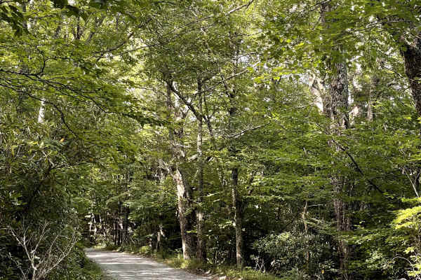
Carroll Gragg Road
Carroll Gragg Road is a well-maintained gravel road that is approximately two lanes wide for most of its length. Several signs along the route advise drivers to use caution and engage 4WD, but the entire trail was completed in 2WD without encountering any major obstacles. The road surface is general...
Learn more about Carroll Gragg Road
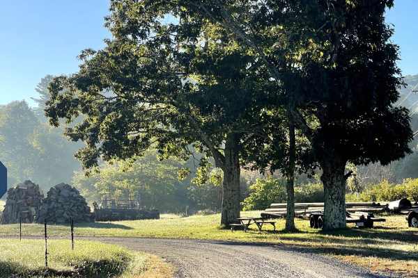
Rominger Road
Rominger Road is a scenic two-lane road that provides users with another easy and enjoyable route through the North Carolina High Country. The road is free from major obstacles and is suitable for all vehicles under normal conditions, making it a great option for anyone looking to explore the area w...
Learn more about Rominger Road
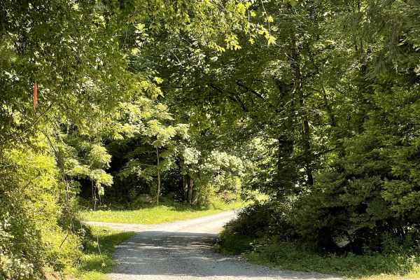
Globe Road
Globe Road is a scenic gravel route that connects users to Edgemont Road and FS 192, providing another opportunity to explore the back roads of Western North Carolina. This trail continues the area’s excellent off-roading experience and consists of a well-maintained, hard-packed gravel surface that ...
Learn more about Globe Road
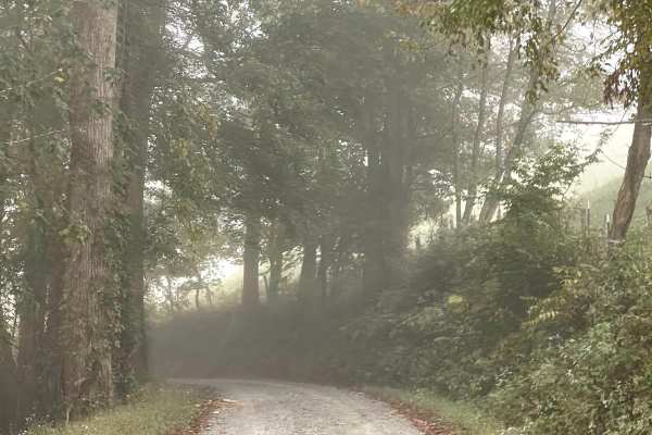
Long Ridge Road
Long Ridge Road is a scenic single-lane road that provides users with an alternate route between Watauga River Road and Rominger Road. Although primarily one lane wide, there is adequate room in several locations for vehicles to safely pass when encountering traffic traveling in the opposite directi...
Learn more about Long Ridge Road
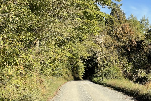
Laurel Creek Road
Laurel Creek Road is another scenic two-lane road that offers users an easy and relaxing drive through the beautiful North Carolina High Country. The road is free from major obstacles and is suitable for all vehicles under normal conditions, making it a great option for anyone exploring the area wit...
Learn more about Laurel Creek Road
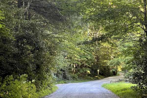
Flannary Fork Road
Flannary Fork Road is a well-maintained gravel county road nestled along the Blue Ridge Parkway near Grandfather Mountain. The route is free of major obstacles and remains approximately two lanes wide for most of its length, with the only exception being a single-lane bridge. Despite this narrower s...
Learn more about Flannary Fork Road
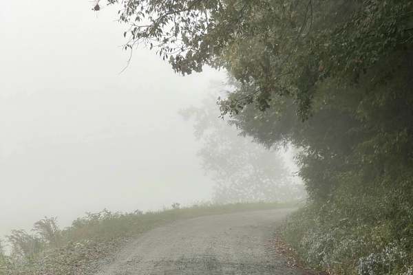
Watauga River Road
Watauga River Road is a scenic through trail that follows the Watauga River along a somewhat bumpy but well-maintained gravel road. The trail is approximately two lanes wide throughout and is free from major obstacles, making it suitable for all vehicles under normal conditions. While the gravel sur...
Learn more about Watauga River Road
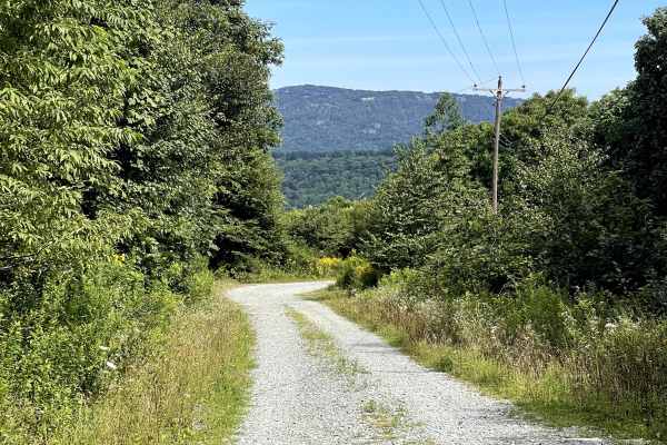
Grandmother Mountain
Grandmother Mountain Trail is accessed by following Carroll Gragg Road and taking the right fork at the trail junction. This route provides access to the summit of Grandmother Mountain and consists of a well-maintained, two-lane gravel road free of major obstacles. As the trail climbs toward the sum...
Learn more about Grandmother Mountain
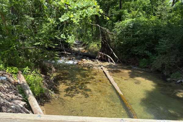
Globe Road
Globe Road is a well-maintained dirt road that serves as a connector between Blowing Rock and Upton, linking the northern section of Pisgah National Forest to its more central areas where additional trails are found. The road to the north passes through private property with houses located close to ...
Learn more about Globe Road
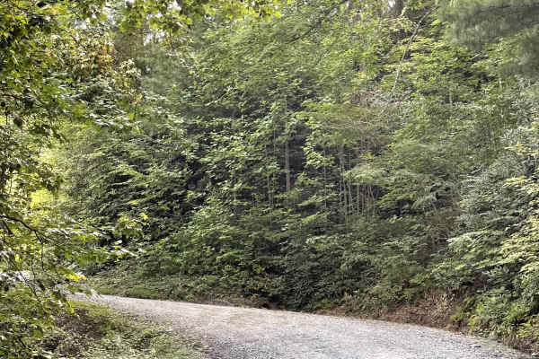
Little Bald Mountain
Little Bald Mountain is a trail accessed directly from the Blue Ridge Parkway and consists of well-maintained, hard-packed dirt. This area has recently reopened following extensive restoration work to repair damage caused by Hurricane Helene. The trail is free from major obstacles and is accessible ...
Learn more about Little Bald Mountain
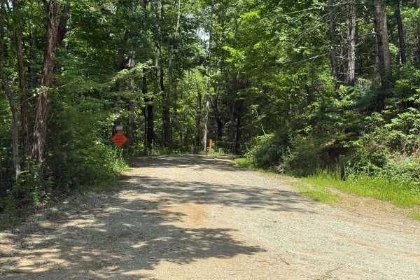
Thunderhole - FS 4071
Thunderhole is a small offshoot of Edgemont Road that features a narrower and slightly rougher trail. The majority of the route is well-maintained gravel, though a few ruts and small muddy sections are scattered throughout. While the trail is accessible to most vehicles, some ground clearance is rec...
Learn more about Thunderhole - FS 4071
Beginner ATV trails near Seven Devils, North Carolina
Explore ATV-friendly trails near you. These trails are accessible for vehicles up to 50 inches wide, perfect for ATVs and smaller off-road machines.
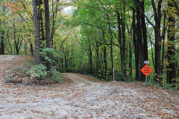
Lost Cove - FS 464A
Located within Pisgah National Forest, Lost Cove (Forest Service Road 464A) is a gravel-over-dirt road that is generally well maintained. It is an out-and-back route about one mile long and leads to the hiking-only Lost Cove Trail, which connects to Upper and Lower Little Lost Cove Falls. A small wa...
Learn more about Lost Cove - FS 464A
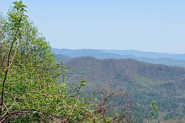
Maple Sally
This dirt road is a scenic drive in the Grandfather District of Pisgah National Forest. It is open year-round and can be traveled in either direction. Gravel bikes and mountain bikes are popular on this road. There are 2 mountain bike trails that either start or finish on this road. There are some c...
Learn more about Maple Sally
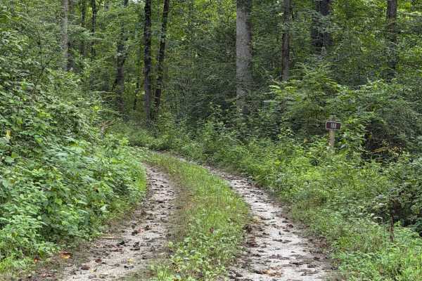
Frankum Creek - FS 188
Coming up onto the trail off of Globe Mountain Road, you will arrive at Frankum Creek - FS 188. Overgrown vegetation covers both sides of the gravel road from beginning to end but is tolerable. During rainy months, some parts of the road can become muddy and rut out which may make it difficult to 2W...
Learn more about Frankum Creek - FS 188
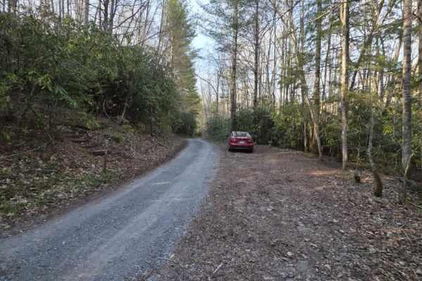
Bitter End - Lacy Trap
Bitter End – Lacy Trap is a moderately easy out-and-back trail that offers a mix of surface variation and light obstacles throughout. The trail begins with an entrance that may appear to lead onto private land, but it is a designated route—continue through the gate and cross both cattle guards to ac...
Learn more about Bitter End - Lacy Trap
Beginner UTV/side-by-side trails near Seven Devils, North Carolina
Find UTV and side-by-side trails near you. These trails accommodate vehicles up to 60 inches wide, ideal for UTVs, side-by-sides, and wider off-road rigs.
Lost Cove - FS 464A
Located within Pisgah National Forest, Lost Cove (Forest Service Road 464A) is a gravel-over-dirt road that is generally well maintained. It is an out-and-back route about one mile long and leads to the hiking-only Lost Cove Trail, which connects to Upper and Lower Little Lost Cove Falls. A small wa...
Learn more about Lost Cove - FS 464A
Maple Sally
This dirt road is a scenic drive in the Grandfather District of Pisgah National Forest. It is open year-round and can be traveled in either direction. Gravel bikes and mountain bikes are popular on this road. There are 2 mountain bike trails that either start or finish on this road. There are some c...
Learn more about Maple Sally
Frankum Creek - FS 188
Coming up onto the trail off of Globe Mountain Road, you will arrive at Frankum Creek - FS 188. Overgrown vegetation covers both sides of the gravel road from beginning to end but is tolerable. During rainy months, some parts of the road can become muddy and rut out which may make it difficult to 2W...
Learn more about Frankum Creek - FS 188
Bitter End - Lacy Trap
Bitter End – Lacy Trap is a moderately easy out-and-back trail that offers a mix of surface variation and light obstacles throughout. The trail begins with an entrance that may appear to lead onto private land, but it is a designated route—continue through the gate and cross both cattle guards to ac...
Learn more about Bitter End - Lacy Trap
The onX Offroad Difference
onX Offroad combines trail photos, descriptions, difficulty ratings, width restrictions, seasonality, and more in a user-friendly interface. Available on all devices, with offline access and full compatibility with CarPlay and Android Auto. Discover what you're missing today!
Open Trail Map