Flannary Fork Road

Total Miles1.7
Technical Rating
1Easy
Best TimeSpring, Summer, Fall, Winter
Trail TypeFull-Width Road
Accessible By
Open Trail Map

Trail Overview

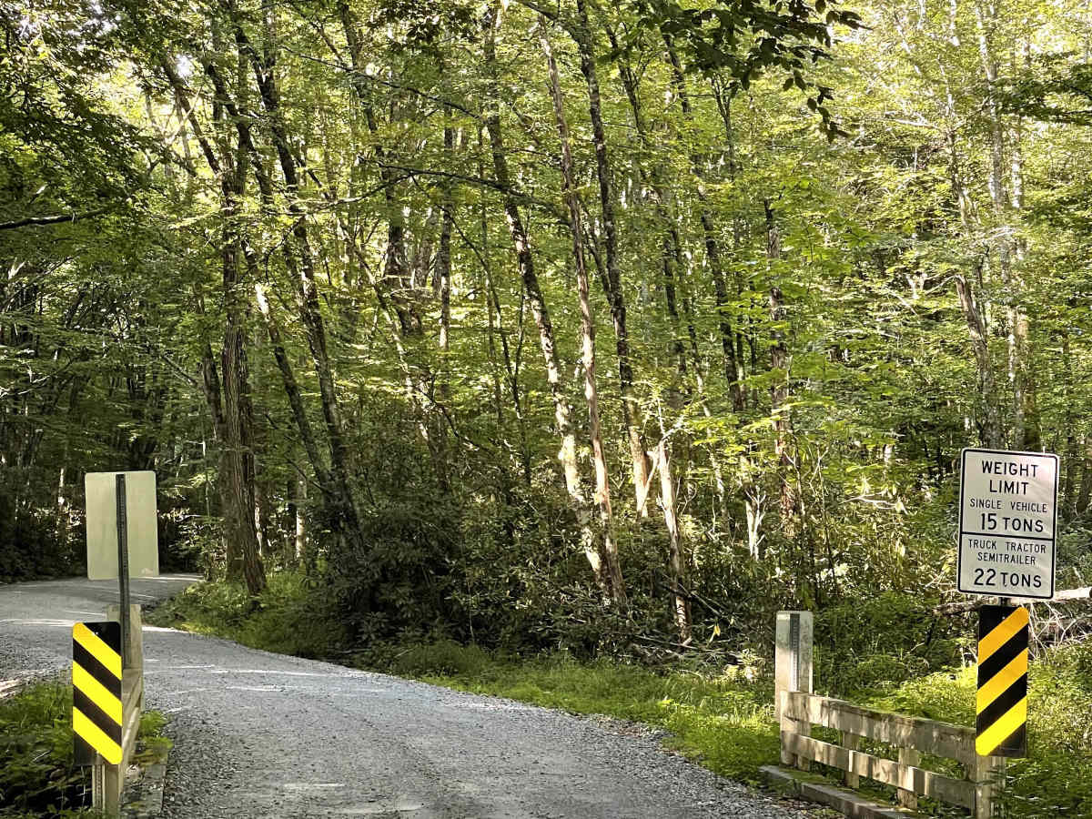
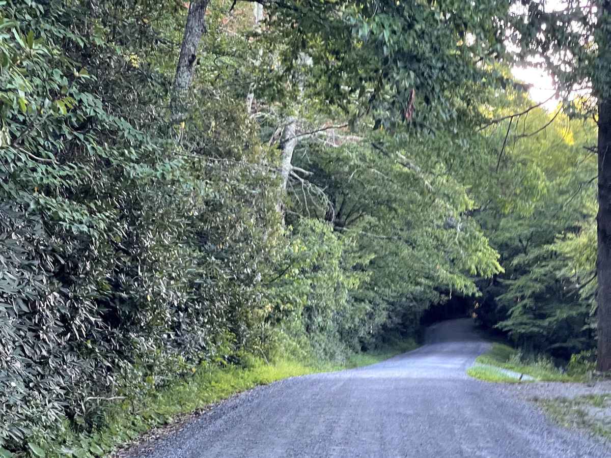
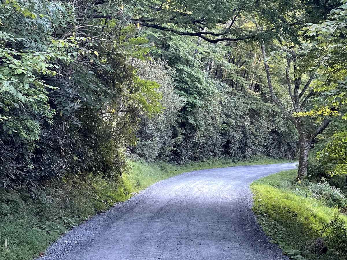
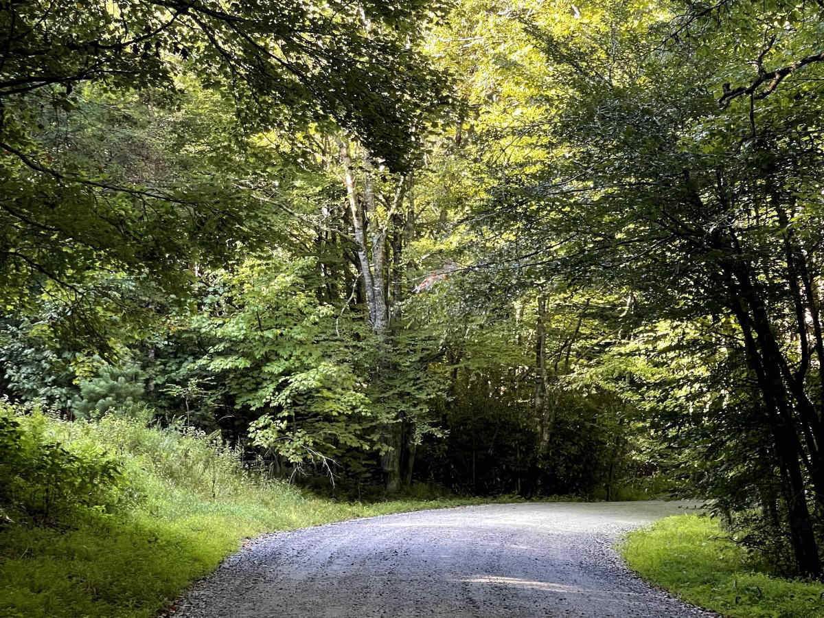
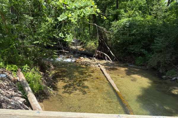
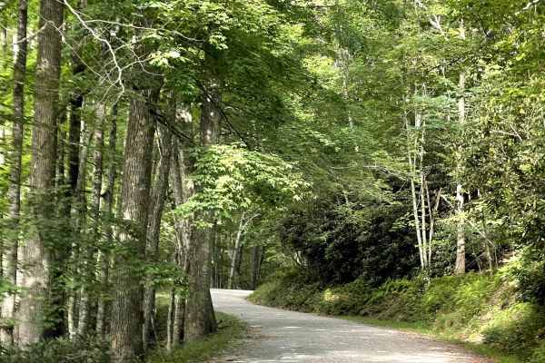
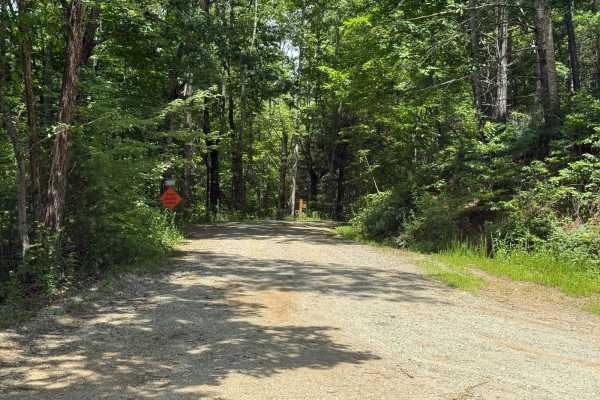
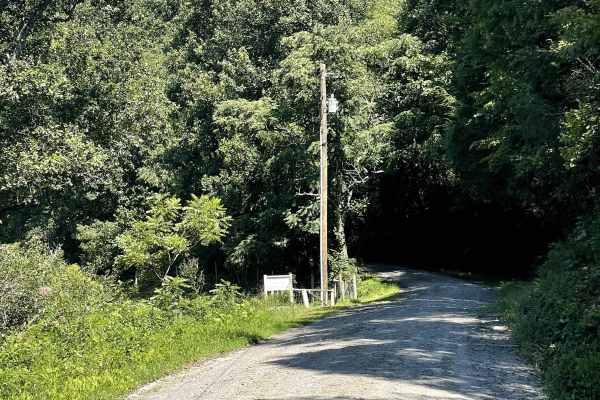
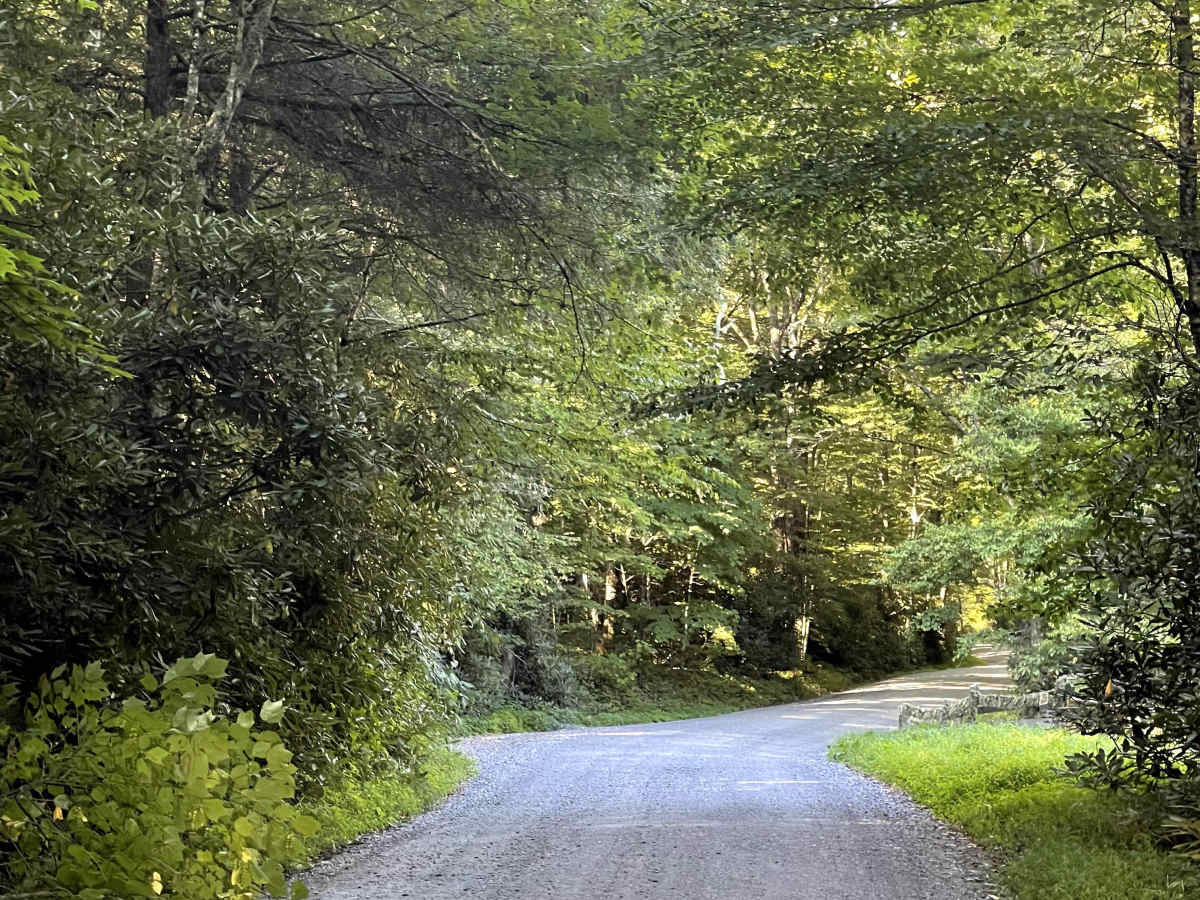
Flannary Fork Road is a well-maintained gravel county road nestled along the Blue Ridge Parkway near Grandfather Mountain. The route is free of major obstacles and remains approximately two lanes wide for most of its length, with the only exception being a single-lane bridge. Despite this narrower section, the road is easy to navigate and is suitable for most 2WD and 4WD vehicles. There are no designated camping opportunities available along this route, so plan to explore the area as a day trip. While the road itself is relatively easy, the surrounding mountain scenery makes Flannary Fork Road a worthwhile addition to any route in the area. Its proximity to the Blue Ridge Parkway and Grandfather Mountain also makes it a convenient option for exploring the region.

Photos of Flannary Fork Road

Difficulty

Easy gravel road suitable for most vehicles.

Technical Rating

1

Flannary Fork Road Trail can be accessed by the following ride types:

  • High Clearance
  • Full Width

Flannary Fork Road Map

The onX Offroad Difference

onX Offroad combines trail photos, descriptions, difficulty ratings, width restrictions, seasonality, and more in a user-friendly interface. Available on all devices, with offline access and full compatibility with CarPlay and Android Auto. Discover what you're missing today!

Open Trail Map