
Beginner Off-Road Trails
Near Scio, Oregon
Explore All Beginner Trails Near Scio, Oregon
Beginner Off-Road Trails Near Scio, Oregon
Discover the best beginner-friendly off-road trails near you. These easier, lower-rated trails are a great place to start — browse trail maps, check difficulty ratings, and find your next adventure.
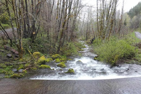
Horse Creek Road
Horse Creek Road connects the Santiam State Forest entrance area with the Molalla River. It starts on South Family Camp Road and goes to the South Fork Molalla River Road. The Santiam State Forest may be closed because of forest fire damage. Horse Creek Road crosses several private properties, so cl...
Learn more about Horse Creek Road
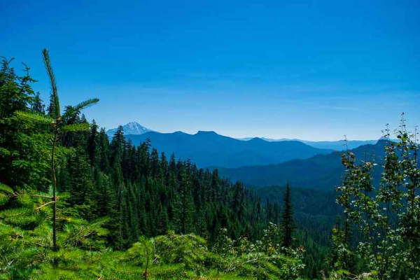
Lucky Butte Lakes
Depending on your starting location, North or South, either end of this trail is an great place to start. There are plenty of campsites and day use areas to stage your group in or just relax before heading out on the trail. For the South to North route, starting at the Yellowbottom Campground and da...
Learn more about Lucky Butte Lakes
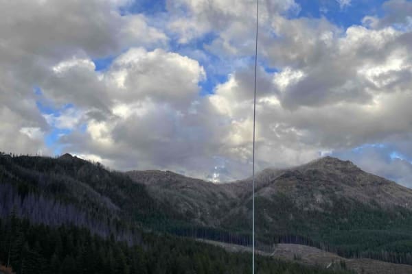
Niagara 20
The start of this road is steep, with washboards and loose gravel. So put it in four-wheel drive or go slow to help keep them from getting worse. Dispersed camping along the way to get to Niagara 20, which is where you are headed. But not the only place up here. Some spots on Niagara 20 are also ste...
Learn more about Niagara 20
Niagara Road
The start of this road is steep, with washboards and loose gravel. So put it in four-wheel drive or go slow to help keep them from getting worse. Dispersed camping along the way to get to Niagara 20, which is where you are headed. But not the only place up here. Some spots on Niagara 20 are also ste...
Learn more about Niagara Road
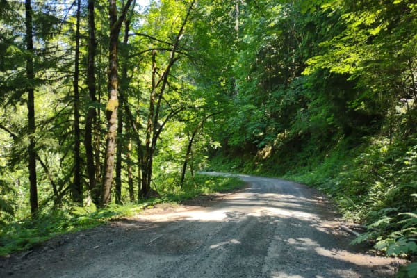
Moose Mountain- FS 2027
Moose Mountain Road, also known as FS 2027, is accessed from US Hwy 20 by turning at Moose Creek Road and crossing the bridge over the South Santiam River. This road is easy gravel, with some potholes and a few sections of larger loose rock. It is mostly single-lane with turnouts. The road passes th...
Learn more about Moose Mountain- FS 2027
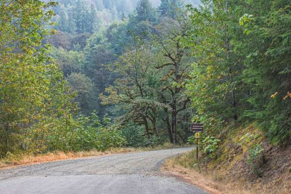
Gordon
Gordon road is a no camping area with signs posted at the beginning. The road offers gravel and a natural mixed surface, that is single wide with room to pull over for vehicles to pass, there are also many potholes on this road. The road runs through the Willamette National Forest and is an access r...
Learn more about Gordon
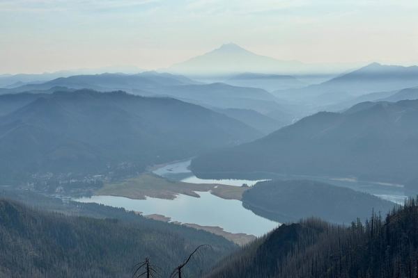
Hall Ridge
Start at the west end of the bridge over the Breitenbush River, right beside the town of Detroit on Highway 22. Turn north onto French Creek Road (also signed as NF-2223). This road is paved at first and leaves the highway heading north. Follow the paved French Creek Road until you reach a junction ...
Learn more about Hall Ridge
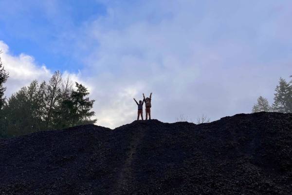
Ry's Mainline Connection
As you head past Crooked Creek OHV you will follow the blacktop straight into a dense beautiful forest. The road turns to gravel and winds its way up the mountain. You can hunt mushrooms, hike, hunt and fish streams in the area. You have plenty of spur roads and OHV trails to access and explore alo...
Learn more about Ry's Mainline Connection

NF 2212
This route takes you from NF 11 (Quartzville Scenic Byway) to Detroit Reservoir via the Lucky Buttes Lakes Trail and NF 2212. It follows paved NF11 until you reach NF 1155 (Lucky Buttes Lakes Trail) and follows that until a crossroads, when you will choose to go north and continue on NF 2212, which ...
Learn more about NF 2212
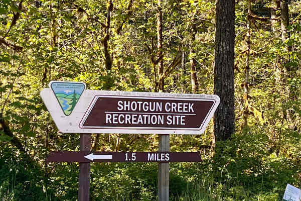
Shotgun to McGowan - Mainline
This is a great weekend drive. Go north on Marcola Road out of Springfield. Shotgun Creek Road is on the left just after you pass the covered bridge. Head up to the fork and take a right towards Crooked Creek Staging Area where you will head straight until you reach FS 15-2-24, as you head up the hi...
Learn more about Shotgun to McGowan - Mainline
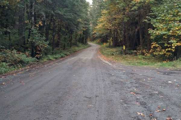
Soda Fork - 2041
This is an easy forest service road that connects US Highway 20 to an extensive forest road network. Much of it is wide enough for two vehicles to meet, but parts are single-lane with turnouts. While the road isn't difficult, there are areas where there is a significant drop-off next to the road and...
Learn more about Soda Fork - 2041
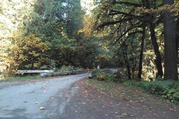
Soda Fork Mainline - FS 2043
This is another easy gravel forest road that connects to the larger road system. There are options to connect to the intersection where FS 2041 and 2027 meet via the FS 2043-320 road or continue east on FS 2043 to connect to 2047 and 2049 which opens more possibilities to continue east and north. Th...
Learn more about Soda Fork Mainline - FS 2043
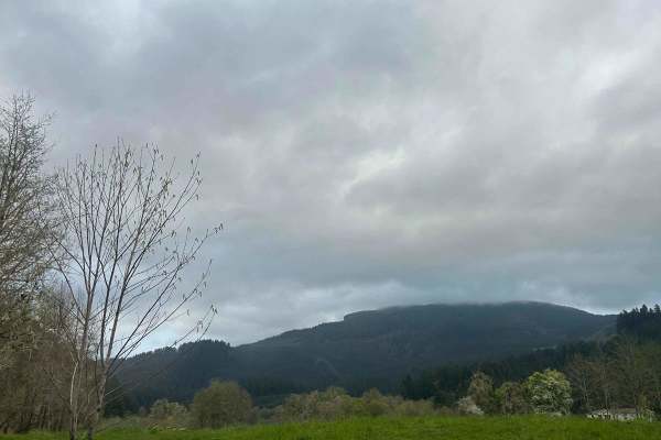
Mary's Peak to Harlan
The first mile to mile and a half is full of potholes, then it smooths out. There are dispersed camping spots along the way along with a couple of streams and views when it opens up. Throughout the trail, there are offshoots for further exploration. Winter travel is not recommended due to high pileu...
Learn more about Mary's Peak to Harlan
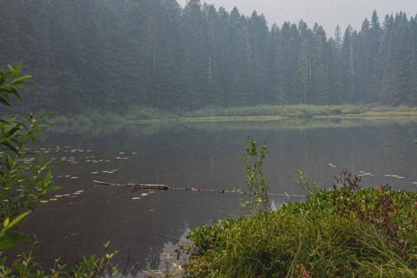
Gordon Lakes
Gordon Lakes is a short typically unmaintained gravel road, that has been worn down over the years, so in spots, it can be muddy when wet and has a few smaller potholes. The road runs through the Willamette National Forest and is an access road to get to Gordon Lakes Trailhead East #3386. It is a ve...
Learn more about Gordon Lakes
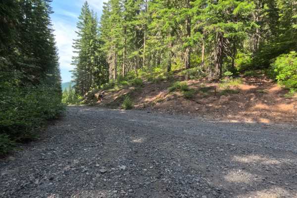
Elk Lake - FS 4697
The Elk Lake - FS 4697 trail is a beautifully scenic, 6.9-mile unmaintained forest service road that climbs steadily through a dense, vibrant woodland canopy. The journey serves as the primary access route to the popular parking area for the Gold Butte Lookout before ultimately winding its way down ...
Learn more about Elk Lake - FS 4697

Green Mountain Gravel Pits
This route takes you off the main Green Mountain Road, up Green Mountain Middle Road, and to a few gravel pit areas. The route provides a few views of the city of Colton and other cities farther out. The pits are locations with some four-wheeling obstacles and is where a lot of people go to shoot th...
Learn more about Green Mountain Gravel Pits
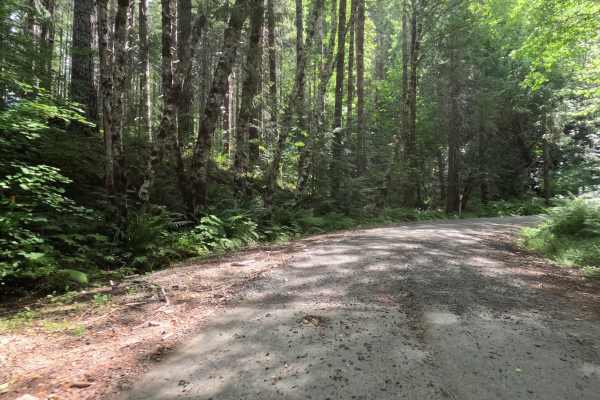
Fox Creek Ridge - FS 4698
Fox Creek Ridge - FS 4698 is a 6.3-mile graded gravel forest service road that provides an exceptionally peaceful backcountry transit. The wide, forgiving path weaves effortlessly through a beautiful, dense canopy of towering evergreen trees, offering ample shade with dappled sunlight filtering thro...
Learn more about Fox Creek Ridge - FS 4698
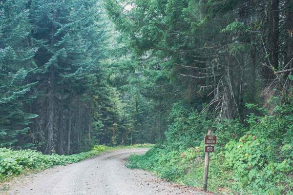
Quentin Creek
Quentin Creek road number 1513 runs through the Willamette National Forest. It is an easy gravel road with some areas that get steep and curvy. This road is not short of thick beautiful trees and lush vegetation that line the road. Depending on the time of year you might run into downed trees after ...
Learn more about Quentin Creek
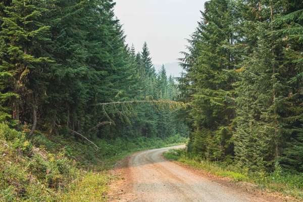
Latiwi Creek
Latiwi Creek road runs through the Willamette National Forest and is an access road to Houserock Falls Trailhead and House Rock Campground. The road is a single-lane road, with spots to pull over, downed trees are common in this area, and some are low hanging over the road, making it difficult for t...
Learn more about Latiwi Creek
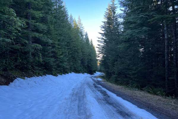
Green Mountain Road
This is one of the main roads heading up to Goat Mountain. There are many spur roads you can take off of Green Mountain Road; just make sure to check the status of gate closures. The area is full of 4x4 and ATV trails. There is snow covering a majority of the road during the winter months.
Learn more about Green Mountain Road
Beginner ATV trails near Scio, Oregon
Explore ATV-friendly trails near you. These trails are accessible for vehicles up to 50 inches wide, perfect for ATVs and smaller off-road machines.
Moose Mountain- FS 2027
Moose Mountain Road, also known as FS 2027, is accessed from US Hwy 20 by turning at Moose Creek Road and crossing the bridge over the South Santiam River. This road is easy gravel, with some potholes and a few sections of larger loose rock. It is mostly single-lane with turnouts. The road passes th...
Learn more about Moose Mountain- FS 2027
Gordon
Gordon road is a no camping area with signs posted at the beginning. The road offers gravel and a natural mixed surface, that is single wide with room to pull over for vehicles to pass, there are also many potholes on this road. The road runs through the Willamette National Forest and is an access r...
Learn more about Gordon
Shotgun to McGowan - Mainline
This is a great weekend drive. Go north on Marcola Road out of Springfield. Shotgun Creek Road is on the left just after you pass the covered bridge. Head up to the fork and take a right towards Crooked Creek Staging Area where you will head straight until you reach FS 15-2-24, as you head up the hi...
Learn more about Shotgun to McGowan - Mainline
Soda Fork - 2041
This is an easy forest service road that connects US Highway 20 to an extensive forest road network. Much of it is wide enough for two vehicles to meet, but parts are single-lane with turnouts. While the road isn't difficult, there are areas where there is a significant drop-off next to the road and...
Learn more about Soda Fork - 2041
Beginner UTV/side-by-side trails near Scio, Oregon
Find UTV and side-by-side trails near you. These trails accommodate vehicles up to 60 inches wide, ideal for UTVs, side-by-sides, and wider off-road rigs.
Moose Mountain- FS 2027
Moose Mountain Road, also known as FS 2027, is accessed from US Hwy 20 by turning at Moose Creek Road and crossing the bridge over the South Santiam River. This road is easy gravel, with some potholes and a few sections of larger loose rock. It is mostly single-lane with turnouts. The road passes th...
Learn more about Moose Mountain- FS 2027
Gordon
Gordon road is a no camping area with signs posted at the beginning. The road offers gravel and a natural mixed surface, that is single wide with room to pull over for vehicles to pass, there are also many potholes on this road. The road runs through the Willamette National Forest and is an access r...
Learn more about Gordon
Shotgun to McGowan - Mainline
This is a great weekend drive. Go north on Marcola Road out of Springfield. Shotgun Creek Road is on the left just after you pass the covered bridge. Head up to the fork and take a right towards Crooked Creek Staging Area where you will head straight until you reach FS 15-2-24, as you head up the hi...
Learn more about Shotgun to McGowan - Mainline
Soda Fork - 2041
This is an easy forest service road that connects US Highway 20 to an extensive forest road network. Much of it is wide enough for two vehicles to meet, but parts are single-lane with turnouts. While the road isn't difficult, there are areas where there is a significant drop-off next to the road and...
Learn more about Soda Fork - 2041
The onX Offroad Difference
onX Offroad combines trail photos, descriptions, difficulty ratings, width restrictions, seasonality, and more in a user-friendly interface. Available on all devices, with offline access and full compatibility with CarPlay and Android Auto. Discover what you're missing today!
Open Trail Map