Trail Overview
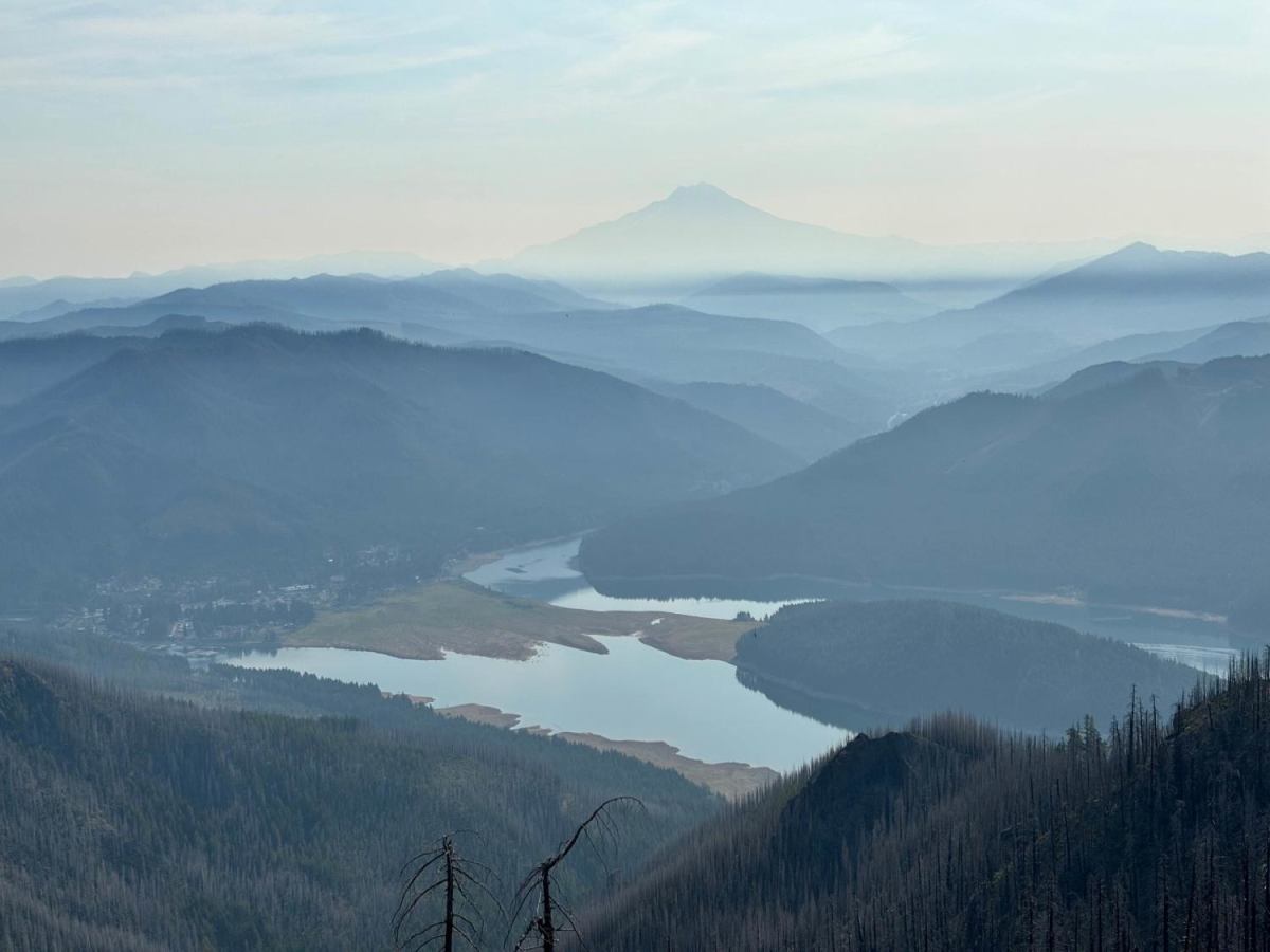
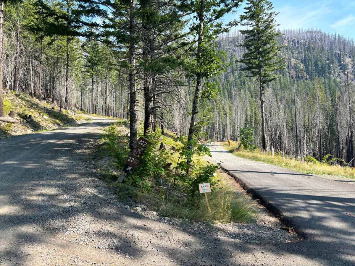
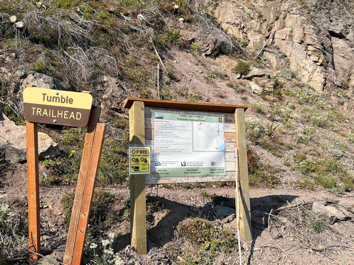
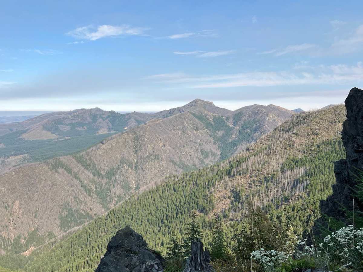
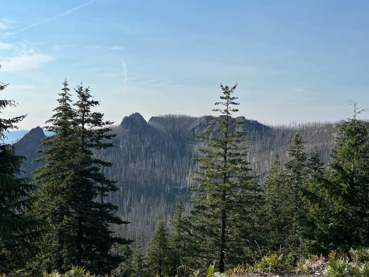
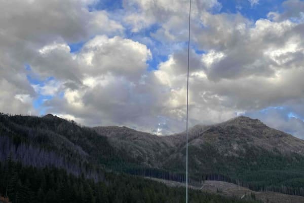
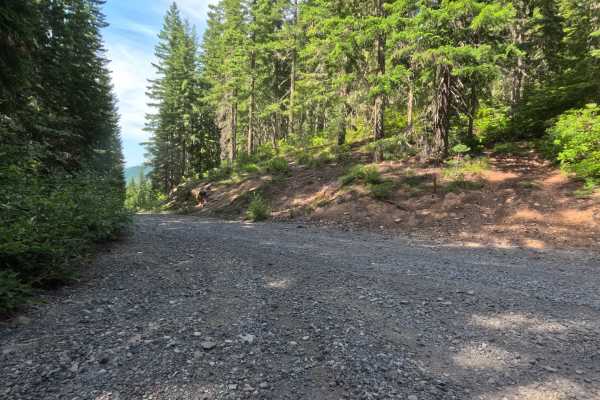
Start at the west end of the bridge over the Breitenbush River, right beside the town of Detroit on Highway 22. Turn north onto French Creek Road (also signed as NF-2223). This road is paved at first and leaves the highway heading north. Follow the paved French Creek Road until you reach a junction with FR-2207. Stay left onto FR-2207; the pavement ends here, and the road becomes gravel as it begins to climb. Continue climbing on the gravel road toward the Tumble Lake Trailhead. Drive just past the Tumble Lake Trailhead parking area and stay left onto NF-2223-520. Remain on NF-2223-520 as it passes Whitman Rock and opens up views of Detroit Lake. When the road forks again, stay left onto NF-525. This section curves eastward toward the cluster of new radio towers on the ridge. At the junction where a short side road (NF-527) branches right to the radio towers themselves, stay left and keep following the main ridge road, still NF-525. Drive to the end of NF-525. where the road stops (often a gate or turnaround). From the end of the road, walk eastward along the open ridge a short distance for outstanding panoramic views of Mount Jefferson and Detroit Lake.
Difficulty
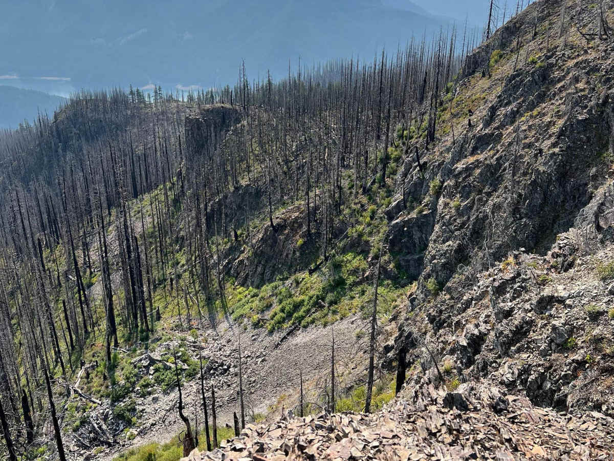
Most of the route follows a wide, well-graded gravel road that climbs roughly 2000 feet over about nine miles. As you approach the very top of Hall Ridge, the road narrows to single-vehicle width with little room to pass and an extremely steep drop-off immediately alongside.