
Beginner Off-Road Trails
Near Perth, New York
Explore All Beginner Trails Near Perth, New York
Beginner Off-Road Trails Near Perth, New York
Discover the best beginner-friendly off-road trails near you. These easier, lower-rated trails are a great place to start — browse trail maps, check difficulty ratings, and find your next adventure.
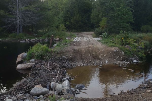
Tannery Rd
Tannery road is a nice connecting off-road trail between Rt 125 and Rt 30. From north to south it starts off with a rocky uphill that transitions to some nice wooded trail. There is a beaver dam/ stream crossing with a small bridge in one spot and water crossing in another. The trail is mostly d...
Learn more about Tannery Rd
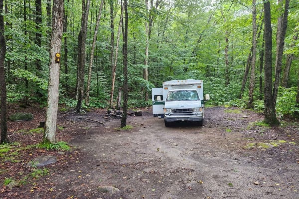
Hope Falls Road
This is a seasonal dirt road, but well-maintained in the summer. The trail leads to the Tenant Falls trailhead and roadside camping. Big parking area/turnaround at the end of the road. There are four first-come first first-served campsites just off the road. Sites 1-3 are flat walk-ins 200' - 300' f...
Learn more about Hope Falls Road
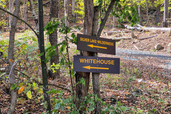
West River Road
Along this well-maintained gravel out-and-back route, travelers will enjoy spectacular views as the road winds beside the West Branch of the Sacandaga River. The surrounding landscape transitions between hardwood and pine forests, offering several excellent camping opportunities—particularly near th...
Learn more about West River Road
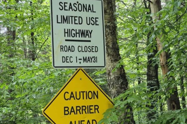
Powley Road
This trail is open from May 31 to December 1. It is a seasonal road that has varying surface types but is primarily gravel and offers plenty of opportunities to see wildlife. Deer are often spotted trailside and in June, snapping turtles are digging nest sites right on the road surface. Plenty of ca...
Learn more about Powley Road
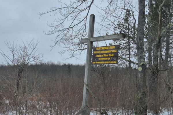
Partridge Run
The trail consists of a broad gravel base that is regularly maintained by the state. Be aware that active logging occurs at all times of the year in this area so always keep an eye for trucks and other equipment. Along this route you will find many hiking trails and multiple opportunities to park an...
Learn more about Partridge Run
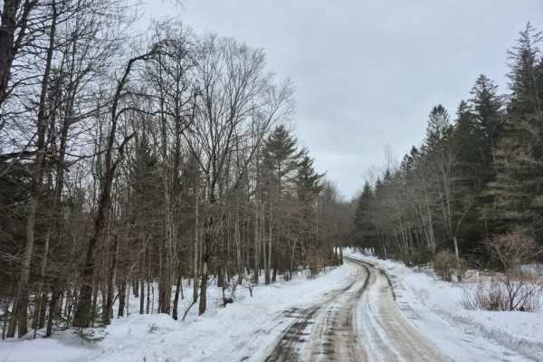
Cook Hill Road
The trail consists of a broad gravel base that is regularly maintained by the state. Like other trails in this area, there is active logging occurring at all times of the year, so always keep an eye out for trucks and other equipment. Several stone foundation ruins can be found along this route, inc...
Learn more about Cook Hill Road
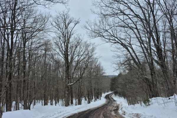
Peasley Road
The trail consists of a broad gravel base that is regularly maintained. Drivers can expect a stable surface with minimal challenges. Logging operations are common in this area, so the road may be freshly plowed or graded to accommodate the logging trucks and heavy equipment. At the western end of th...
Learn more about Peasley Road
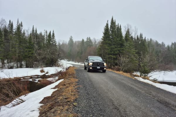
Jerseyfield Road
Expect varying trail conditions from loose rocky uphill climbs and muddy/soupy ruts in certain sections. There is plenty to see as you follow a portion of the Jerseyfield Railroad, including an old locomotive shell as you approach the start of the dirt road. NO ATV or SXS access is permitted on this...
Learn more about Jerseyfield Road
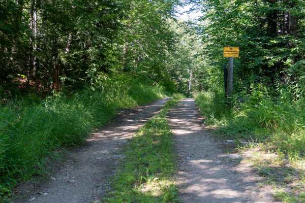
Robbs Creek Road
The trail begins as an easy two-track winding through the forest, with noticeably tighter vegetation than many of the surrounding roads. It closely follows the scenic Robb Creek for much of the drive, passing ponds, wetlands, and lush forest that make this one of the most beautiful routes in the are...
Learn more about Robbs Creek Road
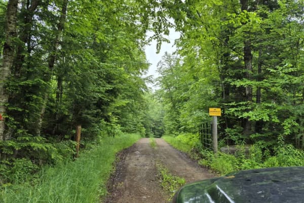
Fly Creek Road
Lyme Adirondacks Timberland Company owns and maintains this track and the surrounding land. ATVs and Snowmobiles are NOT permitted on this track, but Mountain Bikers can often be found along its route, so be aware. Also, be aware that this road's woods are active logging land. Consequently, you may ...
Learn more about Fly Creek Road
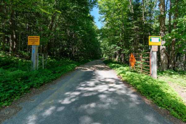
Elm Lake Road
This is the main access road into the Speculator Tree Farm Conservation Easement and serves as the gateway to several surrounding wilderness areas. Most of the easement's forest roads branch off from this route, making it an excellent starting point for exploring the area. The road is wide, well-gra...
Learn more about Elm Lake Road
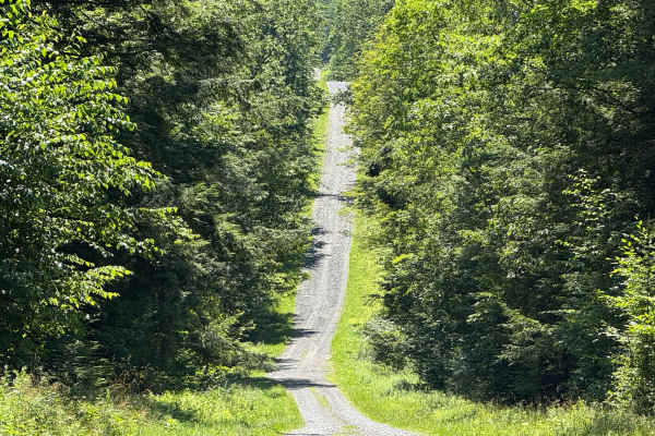
Morey Road
This easily navigable road has numerous wide sections that allow for pulling over to pass oncoming traffic. Along the route, you'll find access to several hiking trailheads and a designated parking area. Notably, an old cemetery is located near the beginning of the road, adding a touch of local hist...
Learn more about Morey Road
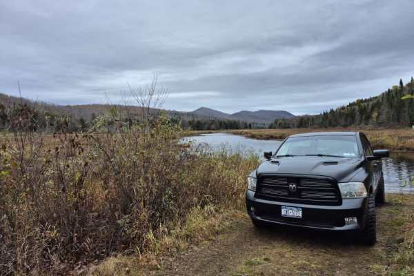
Pines Lake Road
This relatively smooth out-and-back trail will take you through the pine woods of the Southern Adirondack region. There are many opportunities to drive onto trail spurs that will lead you to great spots to photograph your rig or your group and also to a hiking trail that leads to Kunjamunk Cave.
Learn more about Pines Lake Road
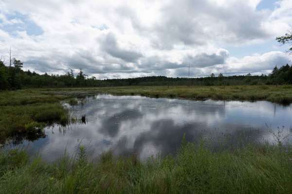
Perkins Clearing Road
This wide, graded road with a gravel surface is the main access route in and out of the Perkins Clearing Conservation Easement. The road is in fantastic condition overall and clearly well maintained, although some sections have washboard. It is a seasonal road, and ATVs are not permitted. There are ...
Learn more about Perkins Clearing Road
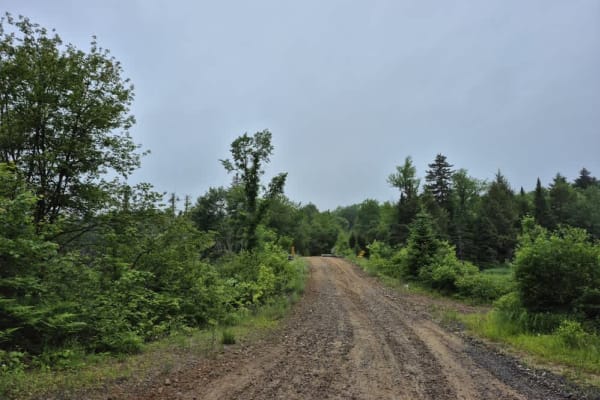
Long Level Road
This track and the surrounding land are owned and maintained by Lyme Adirondacks Timberland Company. ATVs and Snowmobiles are NOT permitted on this track, but Mountain Bikers can often be found along its route, so be aware. Also, be aware that the woods this road cuts through are active logging land...
Learn more about Long Level Road
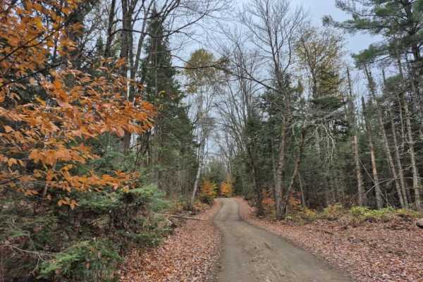
Hatchery Brook Road
This is an active logging road open to the public that is well-maintained and consists mainly of packed dirt and sand. The trail begins at a high point and winds its way down to the edge of a marsh, where, depending on the time of year, you can spot the elusive Adirondack moose.
Learn more about Hatchery Brook Road
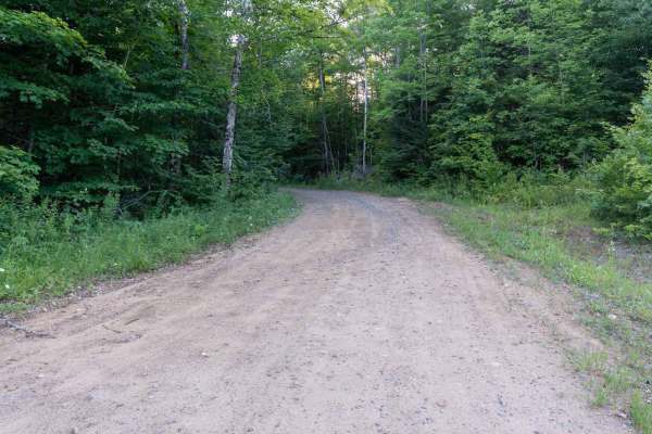
Mud Lake Road
This easy dirt road winds through the Speculator Tree Farm Conservation Easement, alternating between dense forest and wide open meadows. During the summer, the meadows come alive with colorful wildflowers, and the area offers excellent opportunities to spot wildlife. The changing scenery makes for ...
Learn more about Mud Lake Road
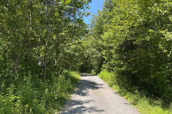
Burnt Hill Road
This is a loose gravel road with no technical obstacles, making it easily drivable under most conditions. A few moderate-sized puddles may form after rainfall, often muddy but generally manageable. There are ample pull-off areas throughout, and some sections are wide enough to accommodate two vehicl...
Learn more about Burnt Hill Road
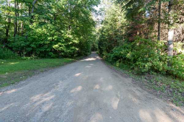
Doug Mountain Road
This road begins as an easy dirt route with a few gravel sections through the Speculator Tree Farm Conservation Easement. As you continue, the road narrows into a grassy two-track with vegetation growing down the center. The drive alternates between dense forest and wide open meadows, creating a nic...
Learn more about Doug Mountain Road
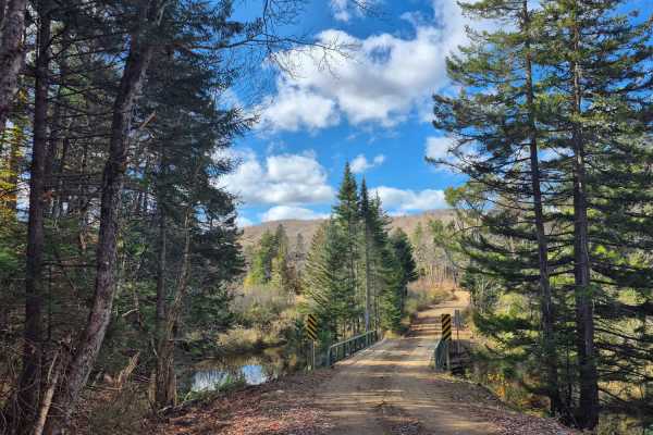
Old Military Road
This seasonal road winds through private timberland and offers travelers a mix of terrain, from compact gravel stretches to loose sand and dirt sections. Although the road is generally well-maintained, conditions can vary depending on recent weather and logging activity. The land along the entire ro...
Learn more about Old Military Road
Beginner ATV trails near Perth, New York
Explore ATV-friendly trails near you. These trails are accessible for vehicles up to 50 inches wide, perfect for ATVs and smaller off-road machines.
Tannery Rd
Tannery road is a nice connecting off-road trail between Rt 125 and Rt 30. From north to south it starts off with a rocky uphill that transitions to some nice wooded trail. There is a beaver dam/ stream crossing with a small bridge in one spot and water crossing in another. The trail is mostly d...
Learn more about Tannery Rd
Military Road
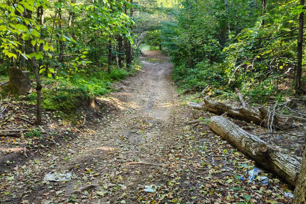
Sandy dirt road connecting from Cold Brook to Norway. It is a seasonal road only open during the summer months. They have recently resurfaced part of the road, making it easier for non-lifted vehicles. The sand can make it slow going epically for motorcycles. There are a few side trails with sand pi...
Learn more about Military Road
Southeast Corners Road
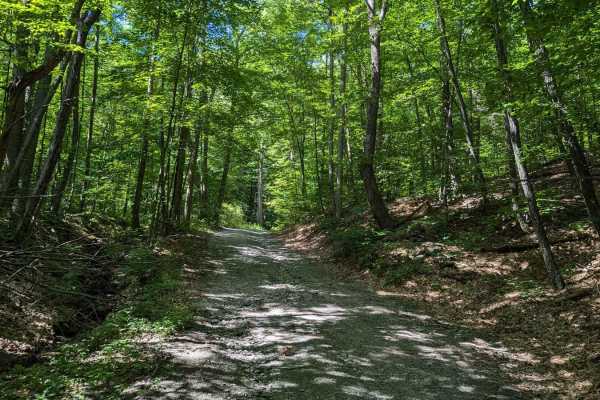
Vermont Class 4 Road: This is an easy drive through a notch between Little Equinox and Pendock Hill. The trail is sometimes steep, especially on the eastern slope, but includes nothing too technical. The road parallels Skyline Drive, the longest paved toll road in the US for some of the eastern clim...
Learn more about Southeast Corners Road
County Road Connection
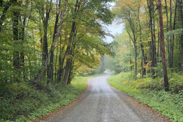
Serving as a connection trail to County Road or the Klondike Trail, this trail is a simple, wide dirt road. Winding through the Vermont forest, you will be surrounded by a mix of hardwoods. It's a comfortable trail, with room to pass. If there's rain or wet ground, prepare to be muddy.
Learn more about County Road Connection
Beginner UTV/side-by-side trails near Perth, New York
Find UTV and side-by-side trails near you. These trails accommodate vehicles up to 60 inches wide, ideal for UTVs, side-by-sides, and wider off-road rigs.
Tannery Rd
Tannery road is a nice connecting off-road trail between Rt 125 and Rt 30. From north to south it starts off with a rocky uphill that transitions to some nice wooded trail. There is a beaver dam/ stream crossing with a small bridge in one spot and water crossing in another. The trail is mostly d...
Learn more about Tannery Rd
Military Road
Sandy dirt road connecting from Cold Brook to Norway. It is a seasonal road only open during the summer months. They have recently resurfaced part of the road, making it easier for non-lifted vehicles. The sand can make it slow going epically for motorcycles. There are a few side trails with sand pi...
Learn more about Military Road
County Road Connection
Serving as a connection trail to County Road or the Klondike Trail, this trail is a simple, wide dirt road. Winding through the Vermont forest, you will be surrounded by a mix of hardwoods. It's a comfortable trail, with room to pass. If there's rain or wet ground, prepare to be muddy.
Learn more about County Road Connection
Rock City Road
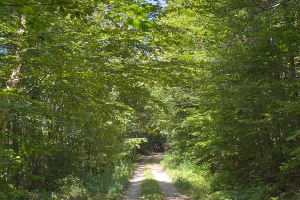
This trail is a simple two-track side road completely in the woods. Areas are subject to becoming overgrown, especially halfway, where there is an opening from the trees. When you reach the end of the trail, there is a secluded campsite that puts you far from most others; however, it is often full.
Learn more about Rock City Road
The onX Offroad Difference
onX Offroad combines trail photos, descriptions, difficulty ratings, width restrictions, seasonality, and more in a user-friendly interface. Available on all devices, with offline access and full compatibility with CarPlay and Android Auto. Discover what you're missing today!
Open Trail Map