Trail Overview
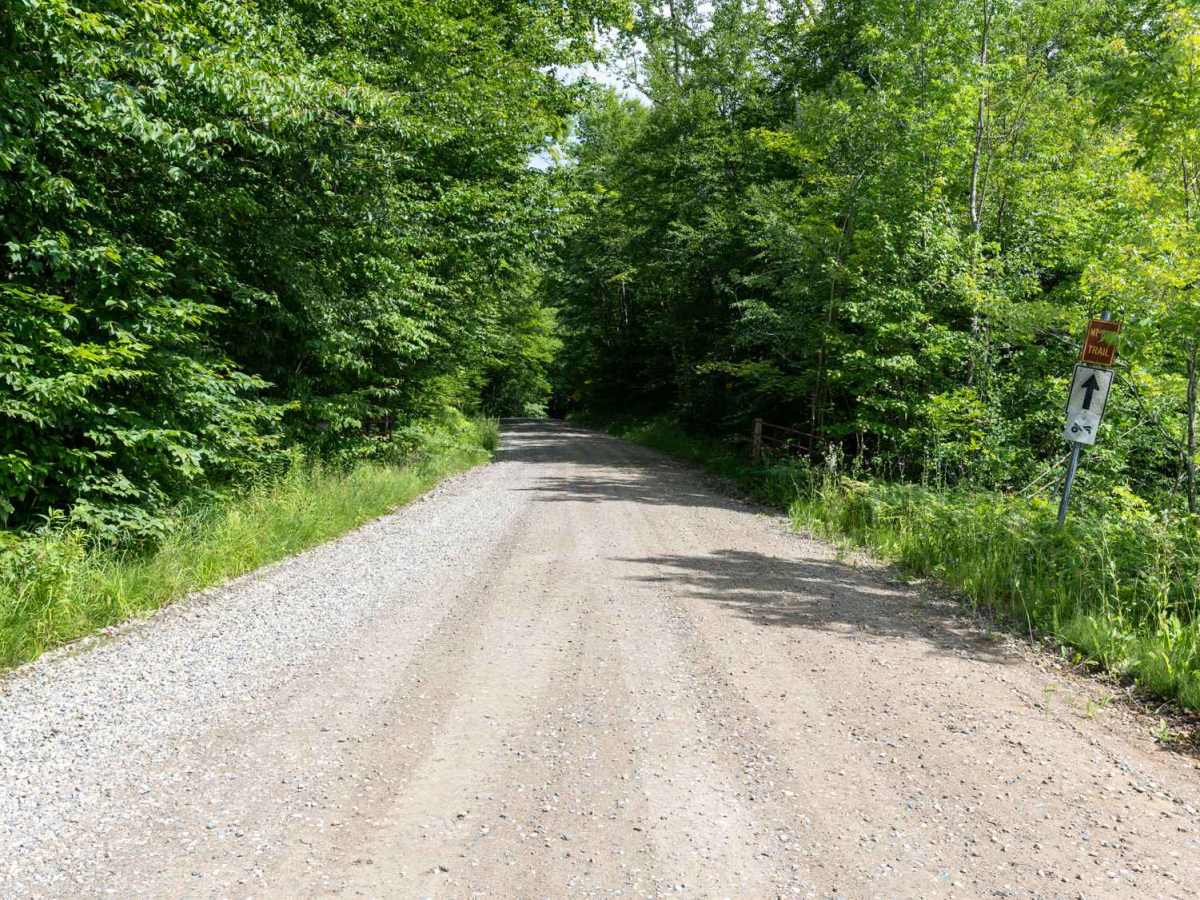
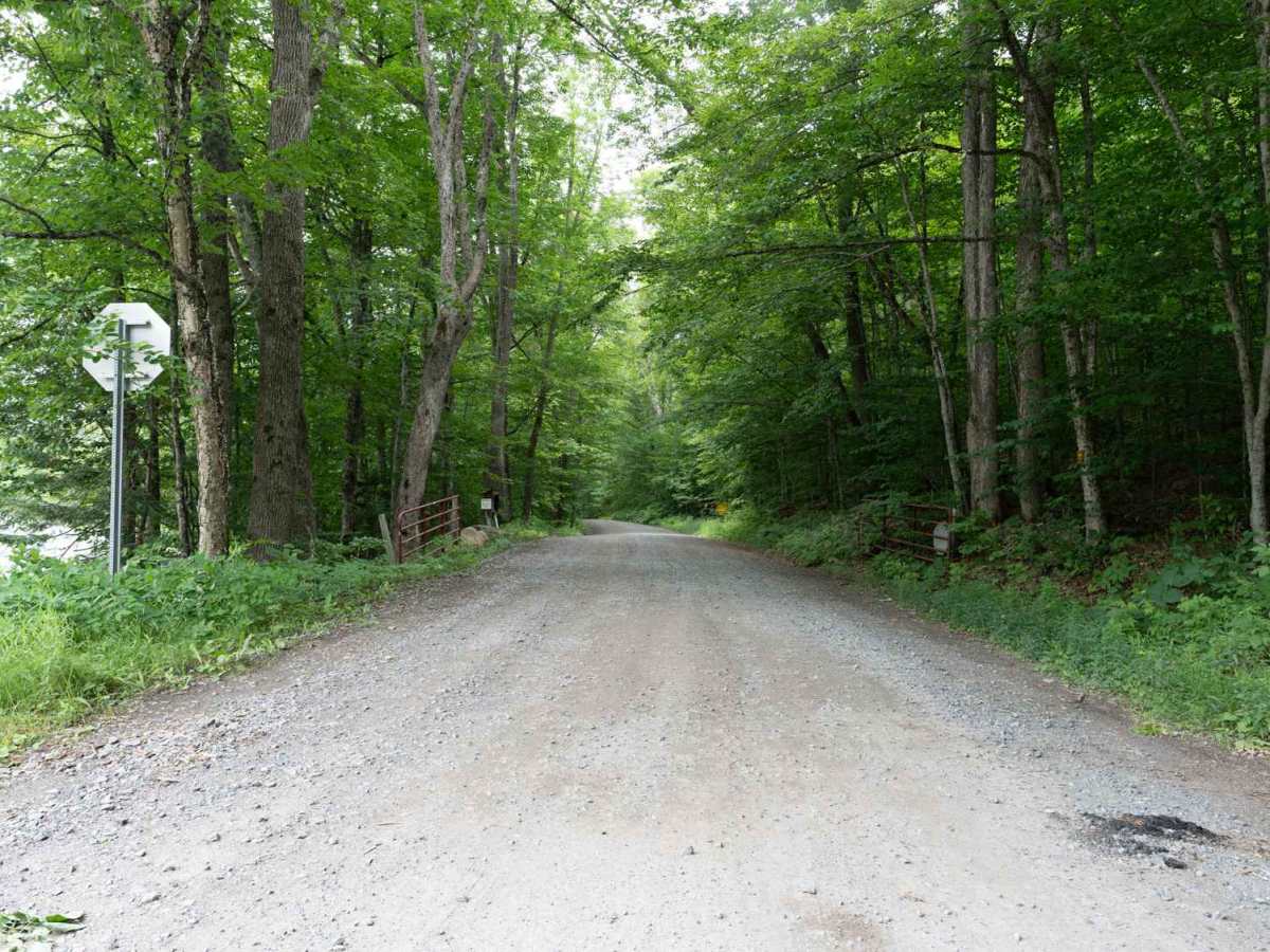
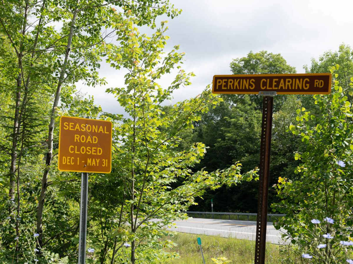
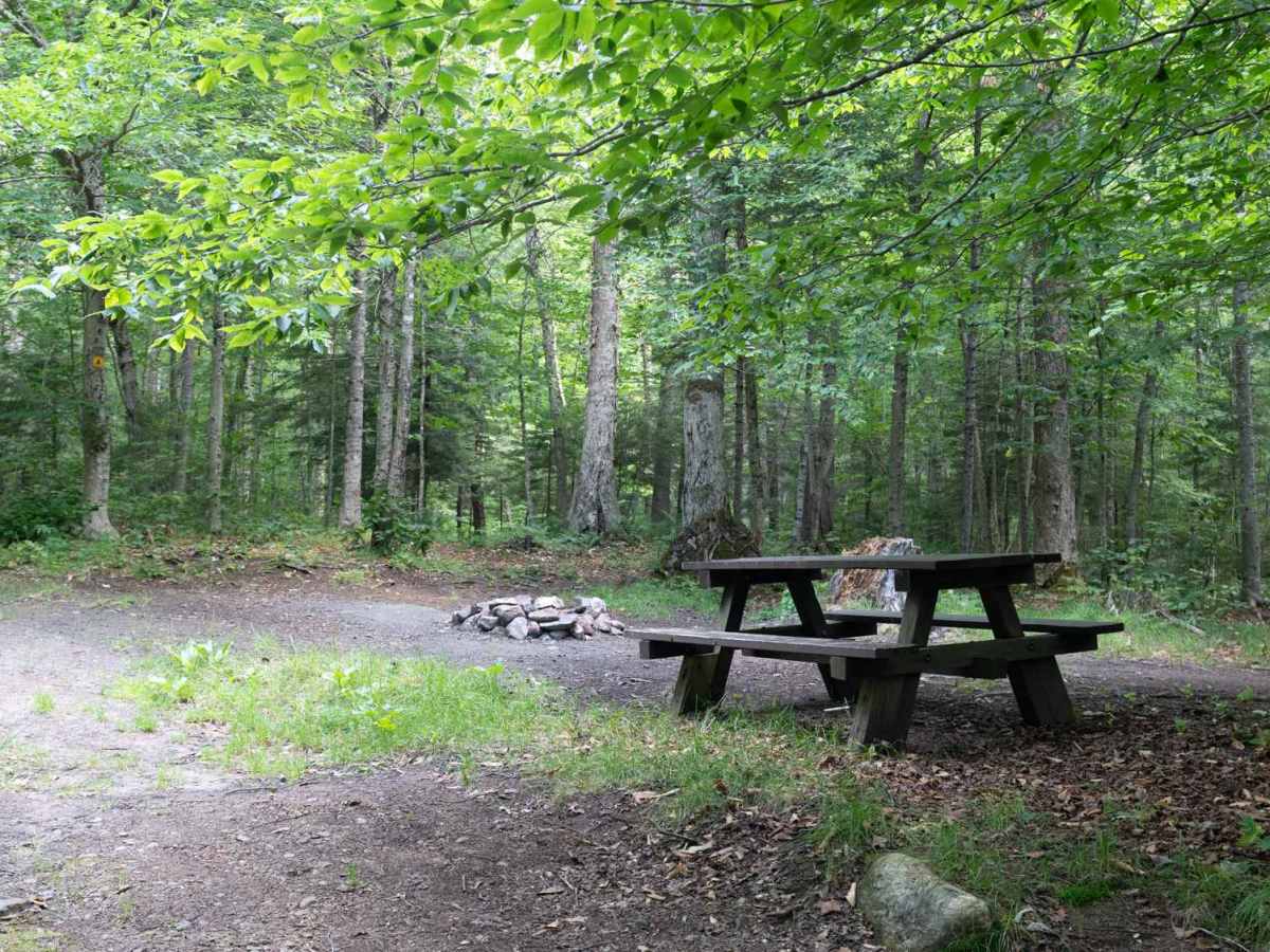
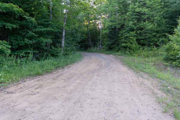
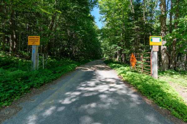
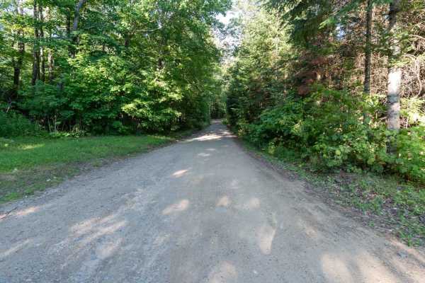
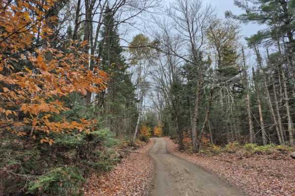
This wide, graded road with a gravel surface is the main access route in and out of the Perkins Clearing Conservation Easement. The road is in fantastic condition overall and clearly well maintained, although some sections have washboard. It is a seasonal road, and ATVs are not permitted. There are numerous designated camp spots along the route, which are marked on the map at the entrance.
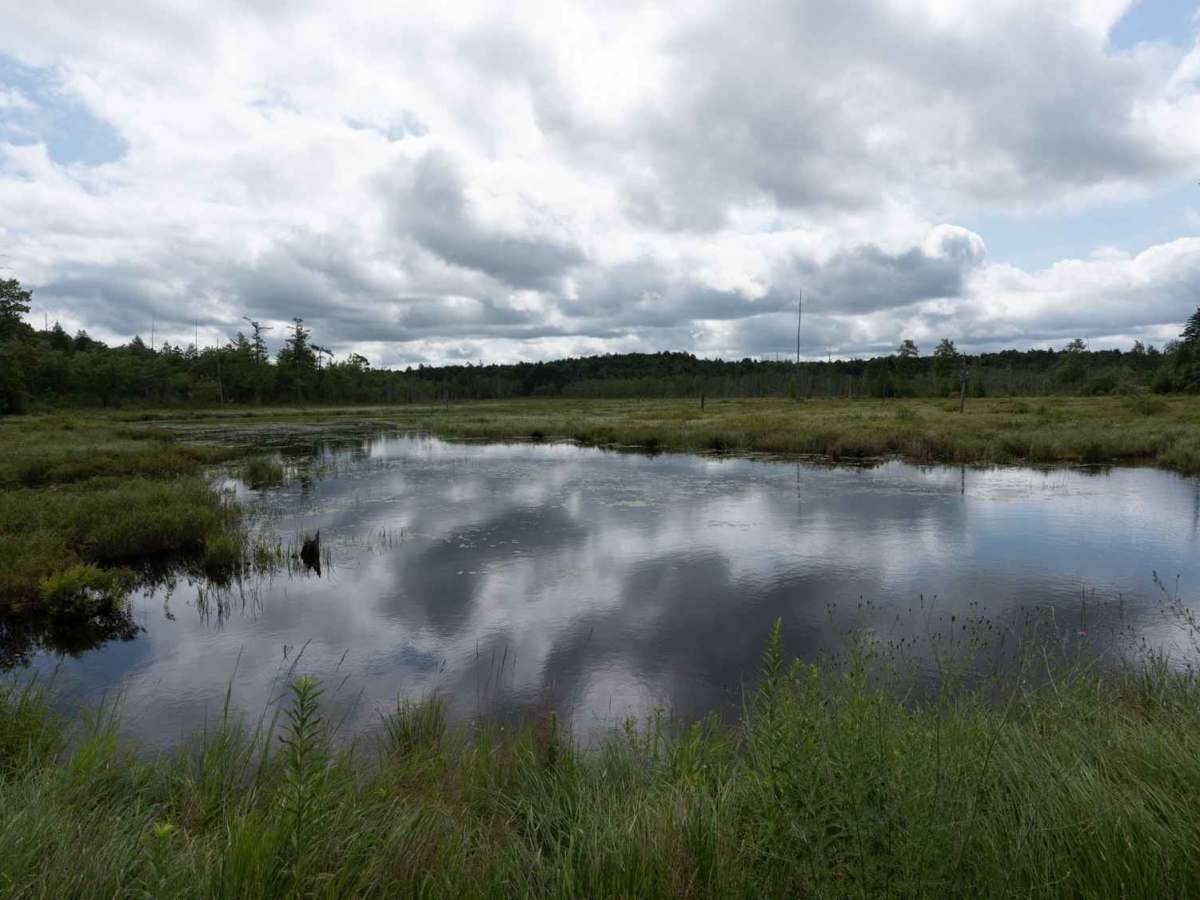
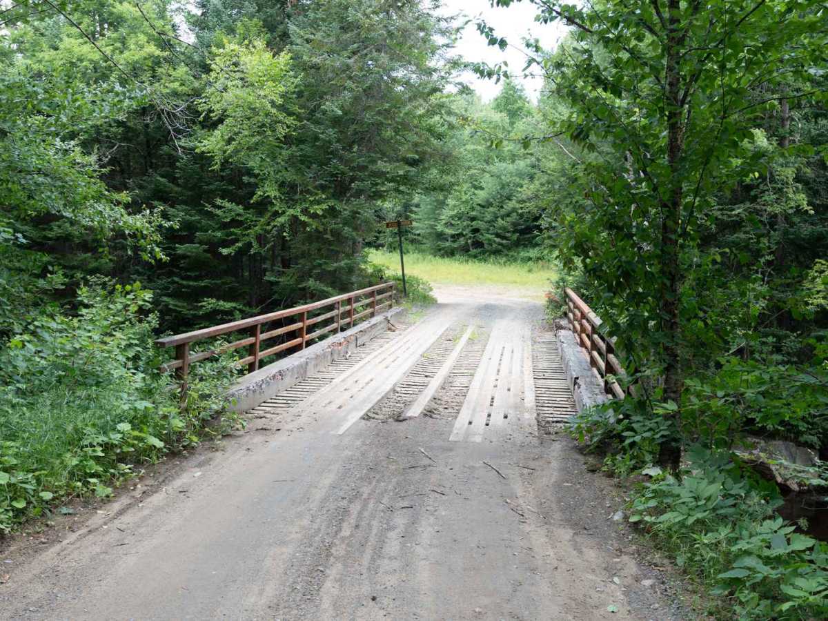
The road has some elevation changes, including a few steeper climbs and dips. Keep an eye out for wildlife as you travel. Along the way, the forest opens up to reveal beautiful ponds and swamps, adding plenty of scenic variety to the drive. You'll also cross the Jessup River on an old logging bridge and pass Mason Lake, where there are additional camp spots and a designated deer area along the water. Overall, this is a beautiful and well-maintained route with plenty of opportunities for camping, wildlife viewing, and enjoying the Adirondack landscape.
Difficulty
This trail is rated 1/10 due to the wide, well graded surface and excellent overall condition. There are some steep climbs, dips, and washboard sections, but no significant technical obstacles.