
Beginner Off-Road Trails
Near Pecan Acres, Texas
Explore All Beginner Trails Near Pecan Acres, Texas
Beginner Off-Road Trails Near Pecan Acres, Texas
Discover the best beginner-friendly off-road trails near you. These easier, lower-rated trails are a great place to start — browse trail maps, check difficulty ratings, and find your next adventure.
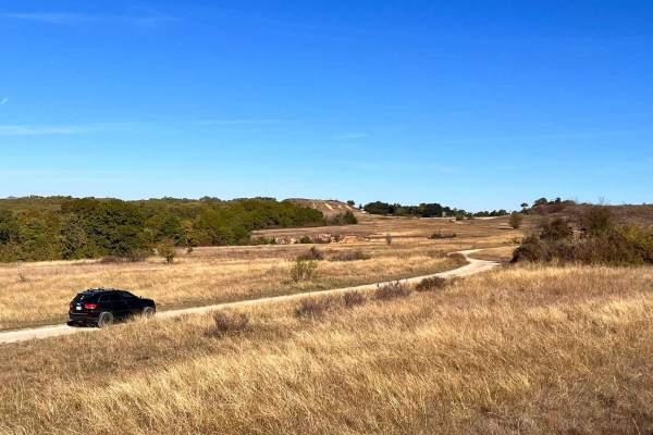
920B Spur
920B Spur is an easy, scenic 0.7-mile out-and-back route in the Lyndon B. Johnson National Grasslands, perfect for beginners, families, and offroaders looking for a quick, relaxed drive below Overlook Bluff. Branching off from Forest Service Road 920, this short trail descends approximately 100 feet...
Learn more about 920B Spur
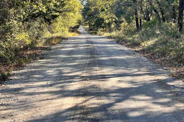
Overloop Bluff
Overloop Bluff is an easy, scenic offroad route in Texas's Northwest OHV Park that offers spectacular views and accessible driving for all experience levels. Winding up a steady incline, this well-maintained forest road reaches a beautiful lookout point that provides panoramic views of the surroundi...
Learn more about Overloop Bluff
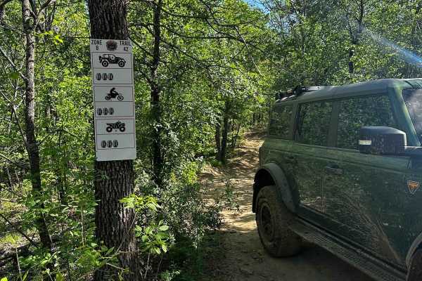
B-42
B-42 is a trail that connects north to south through the middle of B-26 Spider Web Loop and also provides access to B-43 trail. Along this trail, deep ruts have formed which can make passage difficult, especially during wet weather. Additionally, there are optional very deep mud holes on the trail, ...
Learn more about B-42
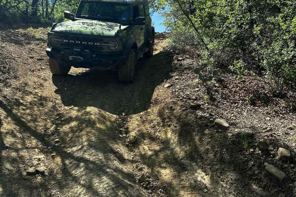
B-44
B-44 is a short, easy trail that branches off of B-26E Spider Web Loop. This trail starts with a loose, rocky, and slightly rutted descent that runs parallel to B-26 Spider Web Loop. After the descent, the trail winds through trees and leads to an intersection of B-26D Spider Web Loop and B-43 trail...
Learn more about B-44
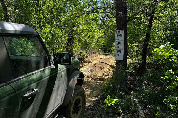
B-45
B-45 is a short intermediate trail that branches off of B-26D Spider Web Loop. This trail has a small, rocky, and narrow feature at the entry, which is the most difficult part of the trail. It then leads to a winding, off-camber climb that reconnects to Spider Web Loop Trail B-26E.
Learn more about B-45
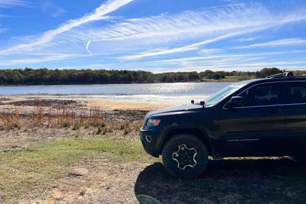
Hopewell Road
Hopewell Road is an easy, scenic 1.6-mile gravel route through the Lyndon B. Johnson (LBJ) National Grasslands, making it an ideal destination for beginners, campers, and those looking for a relaxed outdoor getaway. Starting at an elevation of around 1,001 feet and gently descending to 882 feet at C...
Learn more about Hopewell Road
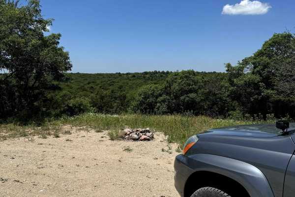
Scenic Overlook - 900H
This trail has a beautiful view with multiple campsites. It is a branch off the Mesa - 900 trail and connects back to it on both sides. The campsites have stone fire pits and the entire trail is surrounded by flowers overlooking a scenic view to the north. Be sure to check for campsite availability ...
Learn more about Scenic Overlook - 900H
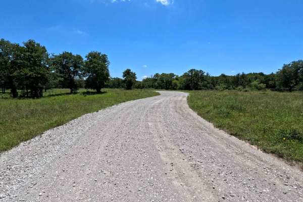
Gravel Pit - 904
This is an access point to the LBJ Grasslands system of trails. There is a lot of room to air down and secure gear just inside the gate if needed. Be aware of horseback riders coming in from the farms in the area, as these are mixed-use trails. You can expect two-way traffic on this road, so drive c...
Learn more about Gravel Pit - 904
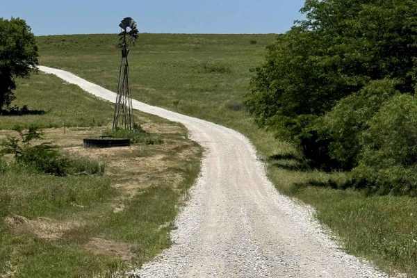
Mesa - 900
This is a well-maintained gravel road through the scenic LBJ Grasslands. There are no major obstacles or water crossings, but lots of campsites and photo ops. Find somewhere to pull off and have a picnic, or use one of the pavilions near the trailhead. This is the perfect trail for people looking fo...
Learn more about Mesa - 900
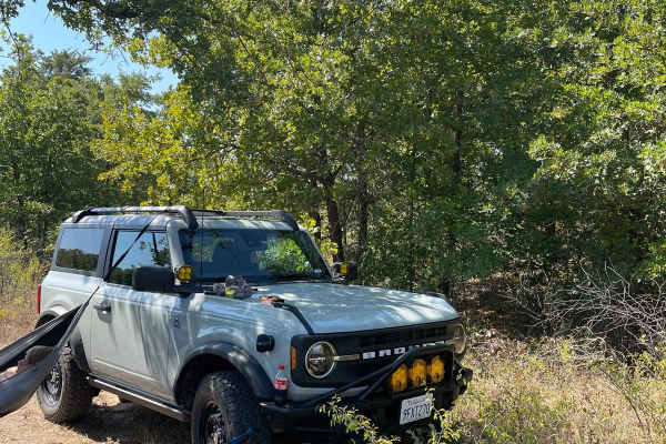
Miller Access Trail
This is a short scenic drive on gravel that takes you through the Lyndon B. Johnson National Grassland. There are some ponds in the area that can be accessed by using some offshoots. The trail can be accessed by 1655 County Road and Gossett-Foster Road. This is an easy road that can be completed wit...
Learn more about Miller Access Trail
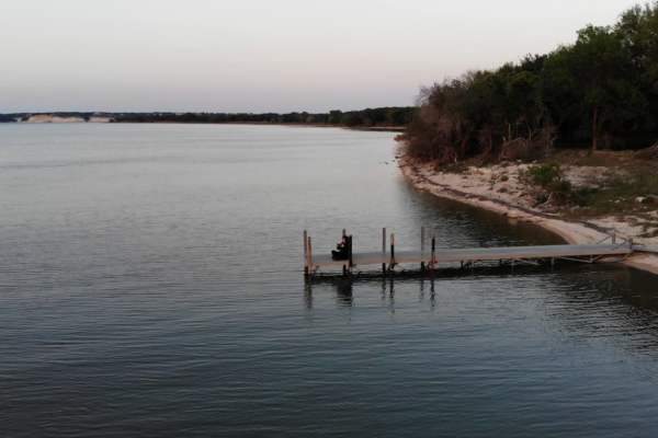
Texas Traverse (Leg 2)
As you depart the National Forest systems of Texas, you start coming into Texas farmland. You will cross the Trinity River a couple of times while paralleling it for miles. Coal mining is still prevalent in this region as a fuel for power plants. You will find a variety of camping from State Park fu...
Learn more about Texas Traverse (Leg 2)

Old Tenmile Creek
The Tenmile Creek Trail offers a mix of rocky and clayey terrain with limestone banks. Watch for boulder fields, loose climbs, and water crossings. The trail runs through gently rolling prairies and wooded creek banks, with historical markers highlighting early settlements and abundant game like dee...
Learn more about Old Tenmile Creek
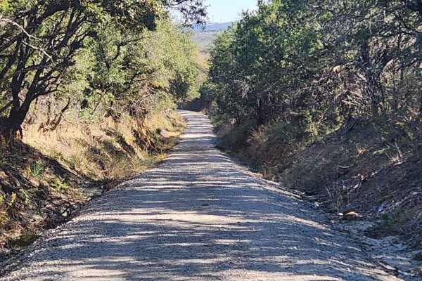
Tudor Loop / 107
This trail consists of narrow county roads along the Erath and Eastland county line that cruise along exotic game ranches, old ranches from the 1880s, and dispersed cemeteries from the settling of the area. The road surface ranges from caliche to crushed sandstone & granite to hard-packed gravel and...
Learn more about Tudor Loop / 107
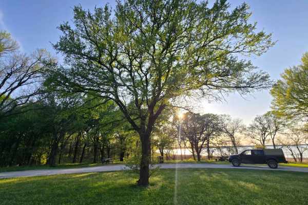
Wildlife Drive
This is a fun, easy trail with flatland views on the east side of the Hagerman National Wildlife Refuge. It also has a water crossing that is drivable when the water is shallow. At the end of this trial, on the north side, is a big, heavily treed picnic area for family and friends to hang out for th...
Learn more about Wildlife Drive
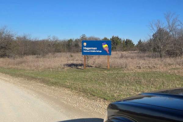
Bennet Lane Gravel Road
This trail will take you through a peaceful, scenic route and up-close views of oil rigs. A lot can be learned here regarding these oil rigs and how they work. You will also encounter lots of wildlife; if you are into birdwatching, this is a perfect place. Fishing is allowed but absolutely no campin...
Learn more about Bennet Lane Gravel Road
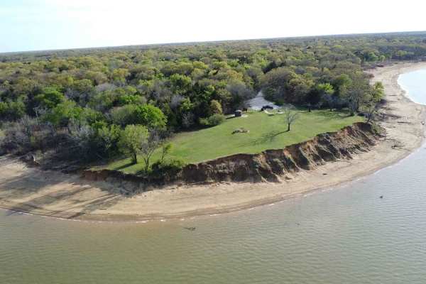
Sandy Point Road
This route is part of an AutoTour within the Wildlife Refuge. It is connected to several side entry roads that hold some of the most active working oil rigs in North Texas. The beauty of this place is not only how easy it is to drive on this loose gravel road, but how accessible it is to see this ir...
Learn more about Sandy Point Road
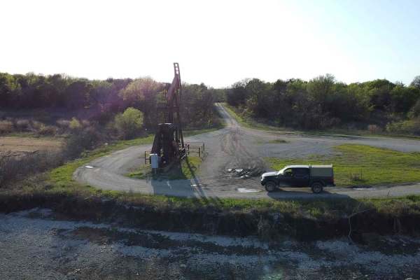
Oil Field Road
This trail is part of the Hagerman National Wildlife Refuge. As you drive on the loose gravel road, you will find side roads that lead to a waterfront oil rig driller. There are several that branch off towards the water or towards Sandy Point Road. Like all trails in this park, it can be accessible ...
Learn more about Oil Field Road
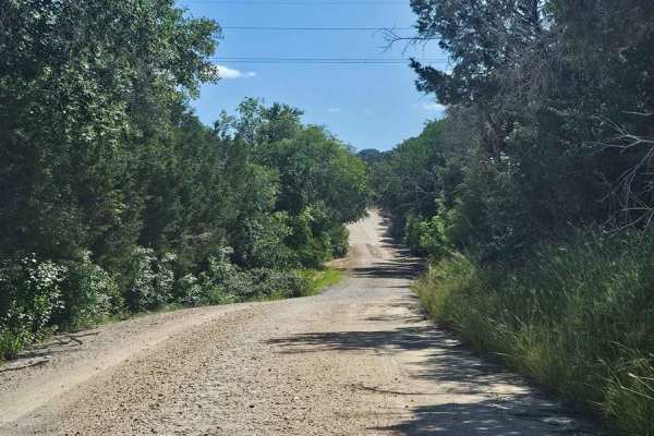
Bosque 1035
Typical central Texas dirt county road that only gets maintenance after rain washes it out. This is a nice side diversion to enjoy a few miles off of pavement while enjoying an old dirt road between old ranches. Drivers need to be aware of ranch and farm traffic on this tight road with sharp ditches...
Learn more about Bosque 1035
Beginner ATV trails near Pecan Acres, Texas
Explore ATV-friendly trails near you. These trails are accessible for vehicles up to 50 inches wide, perfect for ATVs and smaller off-road machines.
B-42
B-42 is a trail that connects north to south through the middle of B-26 Spider Web Loop and also provides access to B-43 trail. Along this trail, deep ruts have formed which can make passage difficult, especially during wet weather. Additionally, there are optional very deep mud holes on the trail, ...
Learn more about B-42
B-44
B-44 is a short, easy trail that branches off of B-26E Spider Web Loop. This trail starts with a loose, rocky, and slightly rutted descent that runs parallel to B-26 Spider Web Loop. After the descent, the trail winds through trees and leads to an intersection of B-26D Spider Web Loop and B-43 trail...
Learn more about B-44
B-45
B-45 is a short intermediate trail that branches off of B-26D Spider Web Loop. This trail has a small, rocky, and narrow feature at the entry, which is the most difficult part of the trail. It then leads to a winding, off-camber climb that reconnects to Spider Web Loop Trail B-26E.
Learn more about B-45
Hopewell Road
Hopewell Road is an easy, scenic 1.6-mile gravel route through the Lyndon B. Johnson (LBJ) National Grasslands, making it an ideal destination for beginners, campers, and those looking for a relaxed outdoor getaway. Starting at an elevation of around 1,001 feet and gently descending to 882 feet at C...
Learn more about Hopewell Road
Beginner UTV/side-by-side trails near Pecan Acres, Texas
Find UTV and side-by-side trails near you. These trails accommodate vehicles up to 60 inches wide, ideal for UTVs, side-by-sides, and wider off-road rigs.
B-42
B-42 is a trail that connects north to south through the middle of B-26 Spider Web Loop and also provides access to B-43 trail. Along this trail, deep ruts have formed which can make passage difficult, especially during wet weather. Additionally, there are optional very deep mud holes on the trail, ...
Learn more about B-42
B-44
B-44 is a short, easy trail that branches off of B-26E Spider Web Loop. This trail starts with a loose, rocky, and slightly rutted descent that runs parallel to B-26 Spider Web Loop. After the descent, the trail winds through trees and leads to an intersection of B-26D Spider Web Loop and B-43 trail...
Learn more about B-44
B-45
B-45 is a short intermediate trail that branches off of B-26D Spider Web Loop. This trail has a small, rocky, and narrow feature at the entry, which is the most difficult part of the trail. It then leads to a winding, off-camber climb that reconnects to Spider Web Loop Trail B-26E.
Learn more about B-45
Hopewell Road
Hopewell Road is an easy, scenic 1.6-mile gravel route through the Lyndon B. Johnson (LBJ) National Grasslands, making it an ideal destination for beginners, campers, and those looking for a relaxed outdoor getaway. Starting at an elevation of around 1,001 feet and gently descending to 882 feet at C...
Learn more about Hopewell Road
The onX Offroad Difference
onX Offroad combines trail photos, descriptions, difficulty ratings, width restrictions, seasonality, and more in a user-friendly interface. Available on all devices, with offline access and full compatibility with CarPlay and Android Auto. Discover what you're missing today!
Open Trail Map