Trail Overview
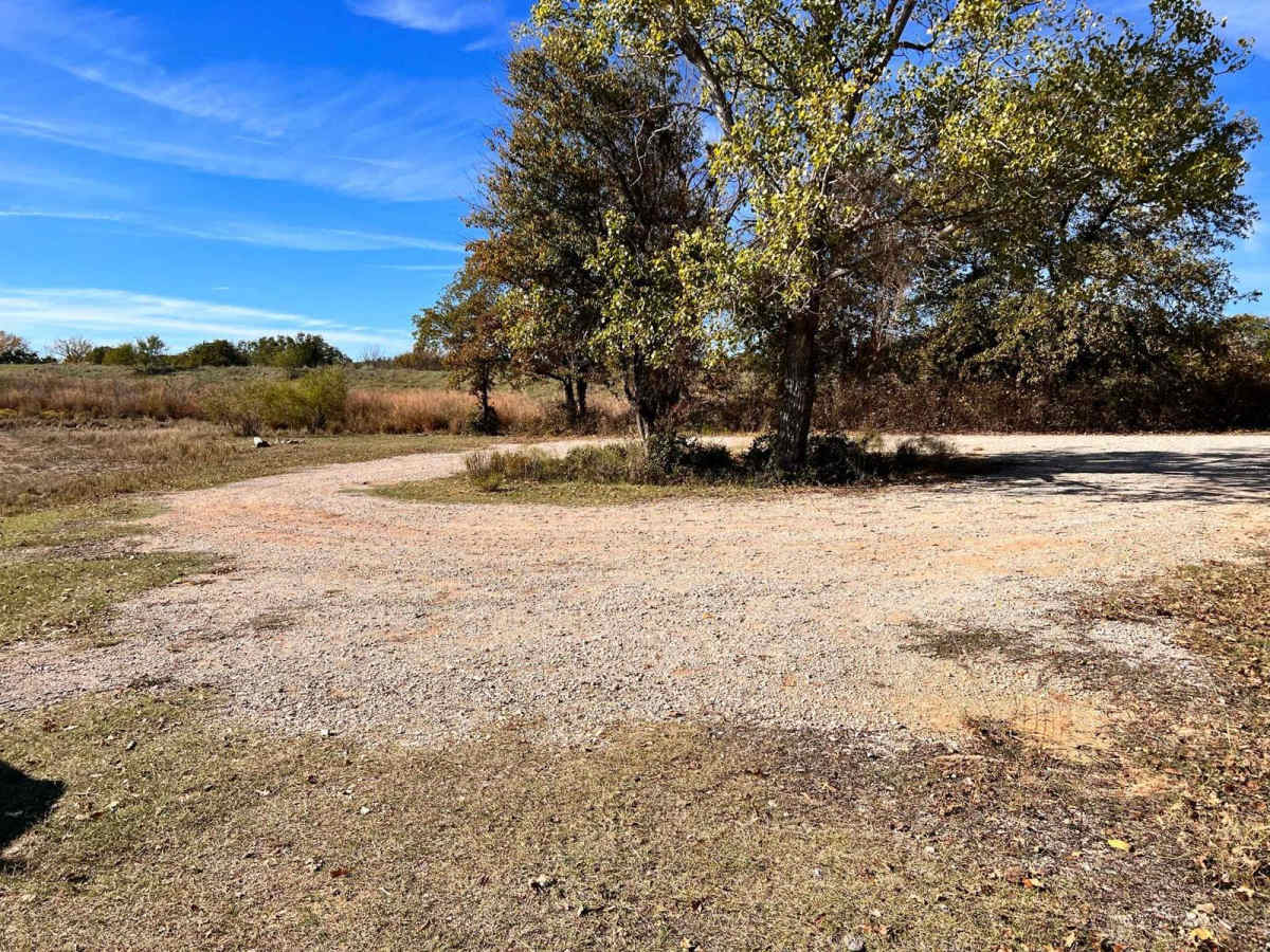
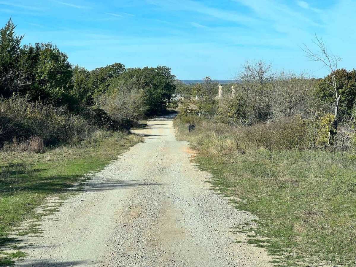
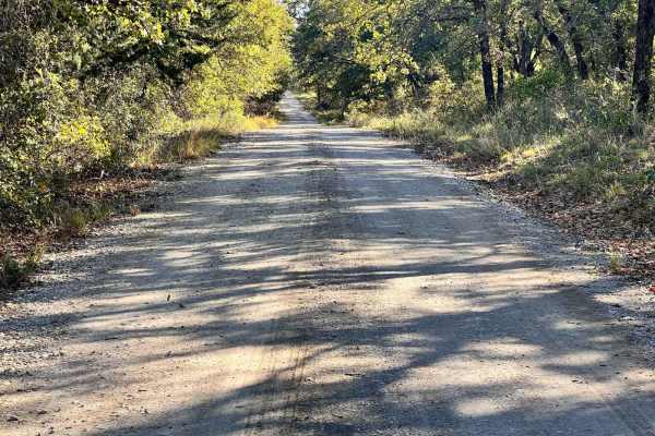
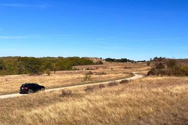
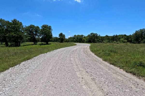
Hopewell Road is an easy, scenic 1.6-mile gravel route through the Lyndon B. Johnson (LBJ) National Grasslands, making it an ideal destination for beginners, campers, and those looking for a relaxed outdoor getaway. Starting at an elevation of around 1,001 feet and gently descending to 882 feet at Clear Lake, this year-round Forest Service road offers access to numerous dispersed campsites and quiet lakeside spots. While the main gravel road is well-maintained and suitable for most vehicles, including standard two-wheel-drive cars, the trail is also popular with four-wheel-drive rigs and SxSs seeking a staging area or quick escape. Along the route, visitors will find thick oak groves, open prairies, and a peaceful environment that highlights the natural beauty of north Texas.
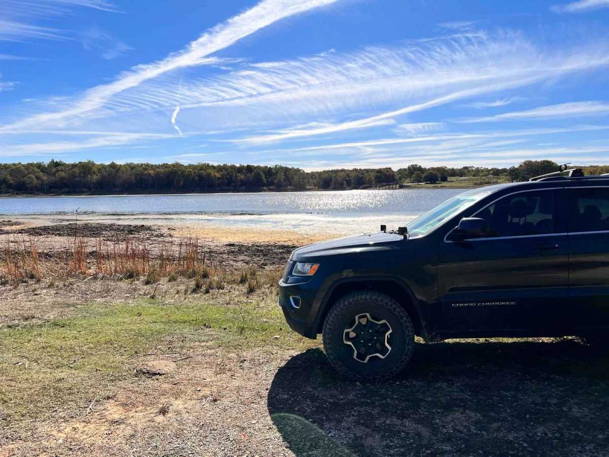
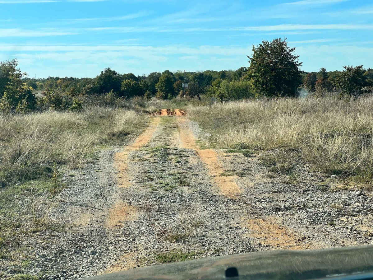
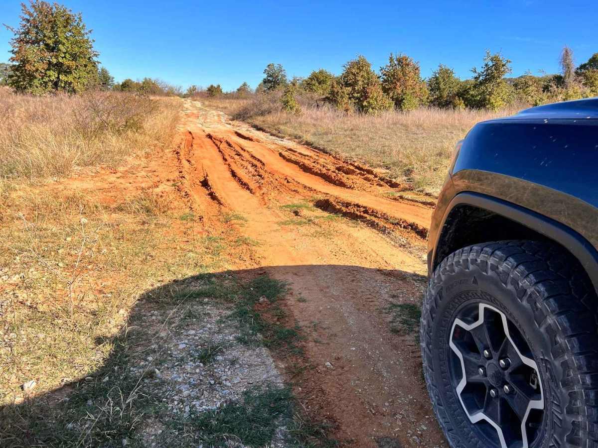
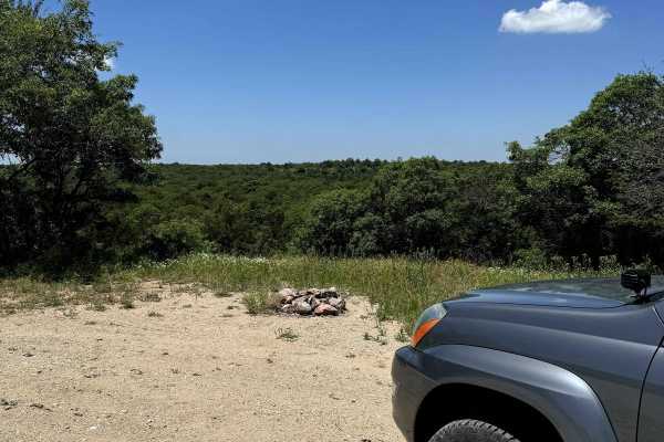
The trail terminates at the scenic shores of Clear Lake, where the shoreline is lined with campsites perfect for pitching a tent or parking a small rig, though day-use boaters will find a dock and ramp on the opposite side of the lake. Adventurous drivers can explore the several unmaintained spurs and loops branching off Hopewell Road, which present a significantly greater challenge with uneven terrain, ruts, and potential mud after heavy rains. Since there are no major water crossings or large obstacles on the primary path, it carries a technical rating of 2, but wet weather can quickly turn the soil muddy and slick. Visitors should plan ahead, pack out all trash, and be aware of seasonal weather changes that can affect traction on the unmaintained side loops.
Access Description
Hopewell Road is managed by the U.S. Forest Service as part of the Lyndon B. Johnson National Grasslands. There are no fees or permits required to drive the main road or to use the dispersed campsites, but vehicles must stay on designated routes, and dispersed camping is subject to standard Forest Service regulations. The road is open year-round, though unmaintained spur trails can become highly degraded and muddy during wet seasons.