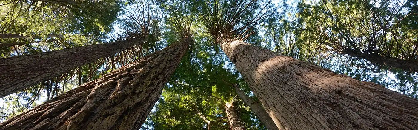
Beginner Off-Road Trails
Near Nicolaus, California
Explore All Beginner Trails Near Nicolaus, California
Beginner Off-Road Trails Near Nicolaus, California
Discover the best beginner-friendly off-road trails near you. These easier, lower-rated trails are a great place to start — browse trail maps, check difficulty ratings, and find your next adventure.
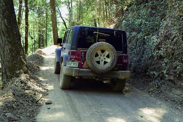
Shirttail Canyon
Shirttail Canyon is an easy, scenic loop ideal for stock four-wheel-drive vehicles and high-clearance SUVs looking for a relaxed journey through California's gold country. Starting just off Interstate 80 in Colfax, the route begins as a winding paved road that climbs into the Sierra foothills, passi...
Learn more about Shirttail Canyon
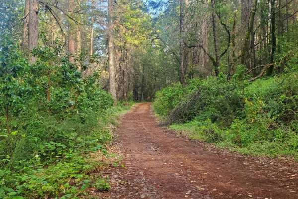
Bottle Hill
Bottle Hill is a good trail to learn how your vehicle feels on dirt, rock, and mud;or to check the off-road capability of your vehicle after making modifications or repairs. It is also a nice, relaxing trail to run for more experienced off-roaders. There is a cellular signal from multiple carriers t...
Learn more about Bottle Hill
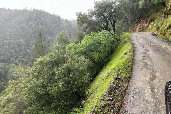
Yankee Jims
This is a secondary entrance to the Shirttail Canyon trail. This trail meanders down the canyon, surrounded by mossy trees and waterfalls during certain times of the year. If coming from the Foresthill side, this is a great day venture down to the river. You can even take it out to the other side, H...
Learn more about Yankee Jims
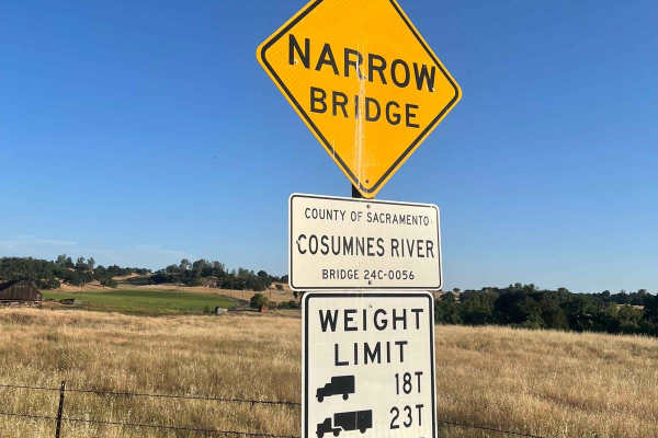
Latrobe Road
Latrobe Road is a scenic dirt road that passes through the rolling foothills outside the Sacramento Valley and provides ample views of the surrounding area. The trail passes through agricultural land, cattle grazing areas, and the 4000 acre Deer Creek Preserve, which is owned/managed by the Sacramen...
Learn more about Latrobe Road
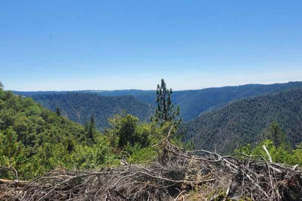
Volcanoville
Volcanoville is a good beginner trail that can be completed by most stock 4x4 SUVs, as well as many AWD vehicles with AT tires and at least 8 inches of clearance. The trail does get progressively more difficult, with plenty of opportunities to turn around safely. Private parcels are well marked and ...
Learn more about Volcanoville
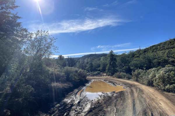
Devilhead Road
This is an easy fire road in dry weather and a fun mud run in wet weather. The road doubles as the southern entrance to Knoxville, OHV, and Berryessa Snow Mountain National Monument. It then splits into access for Adams Ridge, Cement Creek, and Hunting Creek trails. While not very challenging, it do...
Learn more about Devilhead Road
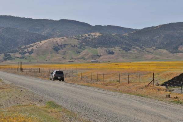
Bear Valley Road Trail
Easy dirt trail with connections to the Berryessa Snow Mountain Monument area Trails with wildflower sights in Spring and the main road to The Wilbur Hot Springs. Beautiful scenery of the Bear Valley in Lake and Colusa Counties in Spring with Bear Creek passing next to the trail. Near the end of the...
Learn more about Bear Valley Road Trail

Cement Creek
This trail has great views throughout with a spectacular view of Lake Berryessa at its highest elevation point. Expect to drive dirt, gravel and mud along the out and back trail. There are also many dispersed camping sites along the way. After 11.4 miles the trail does dead end on a private property...
Learn more about Cement Creek
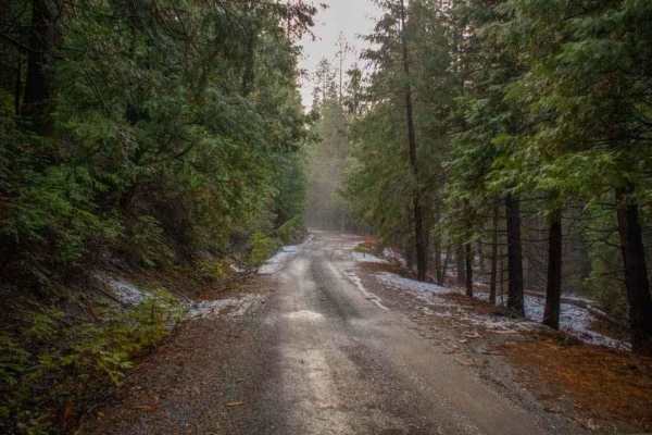
Elliot Ranch Road
Elliot Ranch Road in Foresthill, California, is a rugged, unpaved route in the Tahoe National Forest, offering access to various recreational activities. It serves as the starting point for challenging trails like the Green Valley Trail, which descends steeply to the North Fork of the American River...
Learn more about Elliot Ranch Road
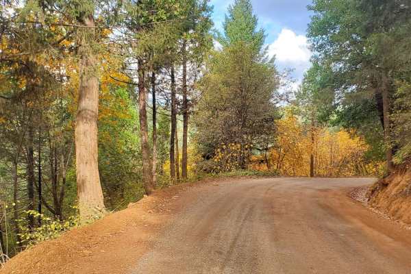
Finning Mill Road
Finning Mill Road is a great off-road alternative to get to the Foresthill OHV area, instead of staying on paved roads to get there. It is a well-maintained gravel road that cuts through privately owned land used for logging. During summer and fall, drivers can expect to see heavy equipment in use a...
Learn more about Finning Mill Road
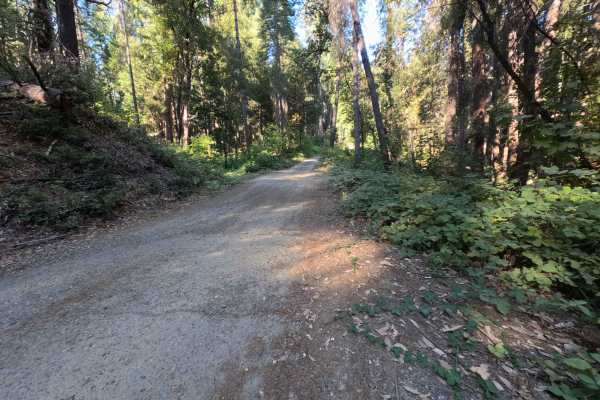
Dry Creek - FS 19N25
Dry Creek - FS 19N25 is a peaceful connector route linking Oregon Hill Road to Indiana-New York Road, offering convenient passage deeper into the surrounding backcountry. Set within the lush, mature conifer and hardwood canopy of Plumas National Forest, the corridor travels beneath towering ponderos...
Learn more about Dry Creek - FS 19N25
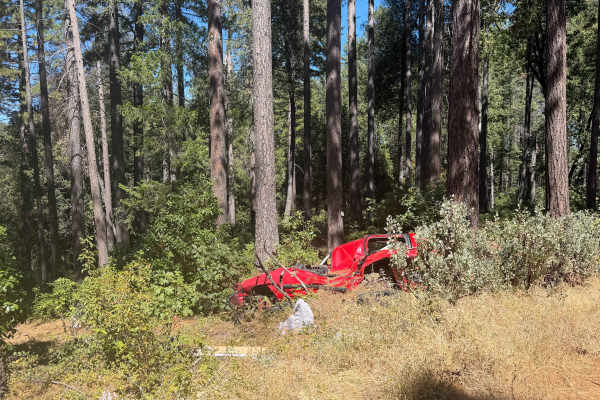
Milk Ranch - FS 19N04
Milk Ranch - FS 19N04 serves as an essential backcountry connector linking Plantation Road - FS 19N16 to Forest Service Road 21, providing dependable throughput across the undulating foothill ridges. Situated in Plumas National Forest, the track winds through a lush, vibrant canopy of towering ponde...
Learn more about Milk Ranch - FS 19N04
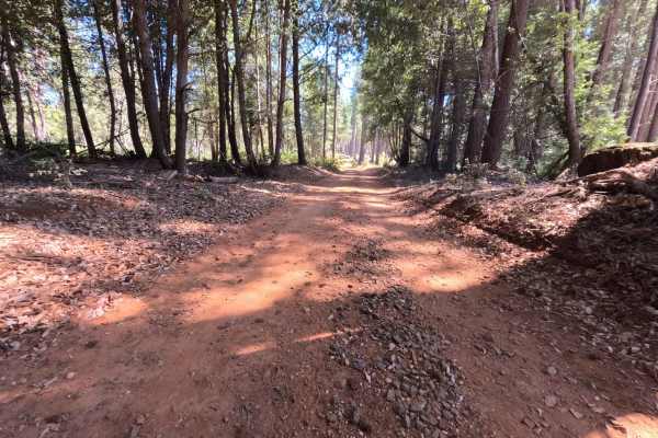
Milk - FS 19N00
Milk - FS 19N00 is a peaceful woodland connector branching off Plantation Road - FS 19N16 and descending through the hills toward lower Forest Service corridors near Bullards Bar Reservoir. Managed by Plumas National Forest, the track traverses a lush, dense mountain environment sheltered beneath to...
Learn more about Milk - FS 19N00
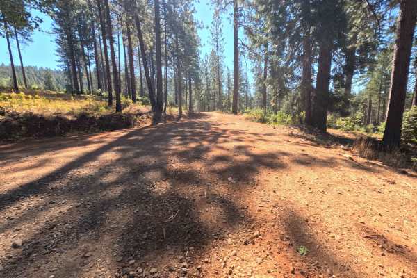
Plantation - FS 19N16
Plantation - FS 19N16 is a scenic connector loop that branches off Forest Service Road 21, circumnavigates a sprawling tract of backcountry timber, and rejoins Road 21 at an established paved junction. Situated within Plumas National Forest, the corridor traverses a lush woodland environment dominat...
Learn more about Plantation - FS 19N16
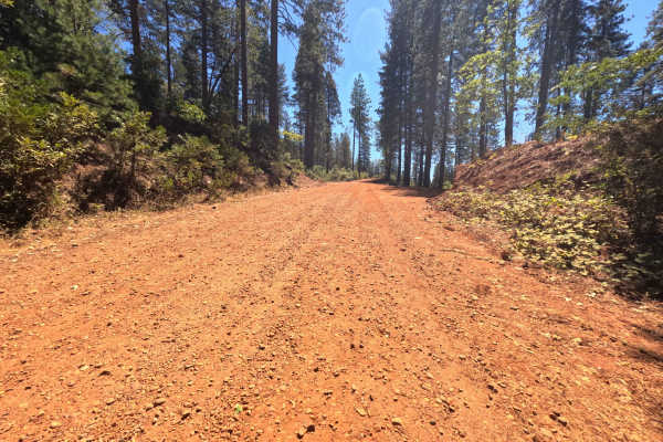
Pike CO Peak - FS 19N17
Pike CO Peak - FS 19N17 functions as a scenic mountain connector linking Forest Service Road 21 with Plantation - FS 19N16, offering elevated throughput across the forested crest of Pike County Peak. Situated in Plumas National Forest, the route travels through a lush, dense woodland of towering pon...
Learn more about Pike CO Peak - FS 19N17
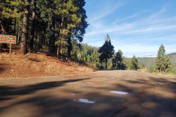
Brimstone - S24
Brimstone (FS 24) is a fairly well-maintained road that connects Finning Mill Road, and Elliot Ranch Road. It is an easy route with multiple dirt-bike trail crossings, and access to three separate staging areas (Brimstone, Sugar Pine, and Parker Flat). It is an easy trail for new off-roaders to acce...
Learn more about Brimstone - S24
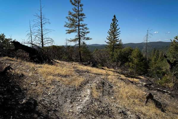
Trail 1-5 (11E51)
This is a short loop trail off of the Rock Creek Loop that is unmarked at both entrances and is kind of hidden due to forestry work along the Rock Creek Loop. The west end starts out on a dry, exposed hilltop, then goes through low tunnels of California black oak trees and manzanita trees. The trail...
Learn more about Trail 1-5 (11E51)

Dunnigan Hill
Dunnigan Hill is an ideal route for offroaders of all skill levels, serving as the main scenic corridor connecting the north and south entrances of the Knoxville Off-Highway Vehicle (OHV) Area. Stretching approximately 7.8 miles through the rugged inner Coast Range, this point-to-point route reaches...
Learn more about Dunnigan Hill
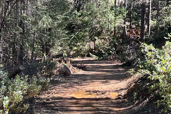
No Way Out
This is a fun little road if you are in Georgetown, whether in a Jeep or on an OHV. There are a few creeks from spring runoff that make it a pretty road! It's more of an out-and-back since it ends in private property. It has barriers, but it's still fun!
Learn more about No Way Out
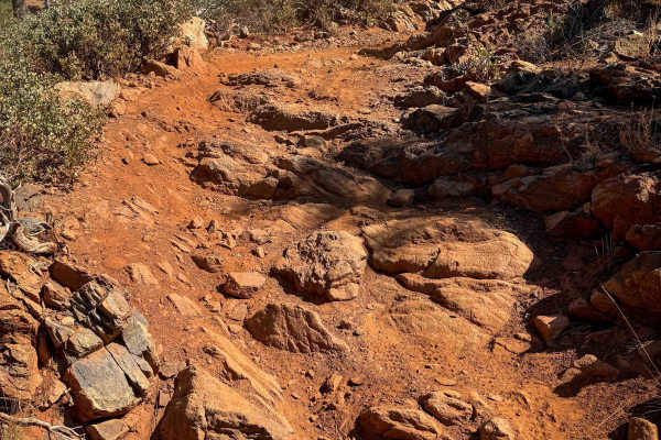
Tie 3-4
Tie 3-4 is a 1.1-mile-long dirt bike–only trail that maintains a fairly wide path as it cuts through a dry pine forest. It connects Loop 4 to Tie 3-1. The terrain is dominated by dusty red dirt, loose rocks, and frequent rock features, including embedded ledges and foot-tall stair steps. Riders cro...
Learn more about Tie 3-4
Beginner ATV trails near Nicolaus, California
Explore ATV-friendly trails near you. These trails are accessible for vehicles up to 50 inches wide, perfect for ATVs and smaller off-road machines.
Bottle Hill
Bottle Hill is a good trail to learn how your vehicle feels on dirt, rock, and mud;or to check the off-road capability of your vehicle after making modifications or repairs. It is also a nice, relaxing trail to run for more experienced off-roaders. There is a cellular signal from multiple carriers t...
Learn more about Bottle Hill
Volcanoville
Volcanoville is a good beginner trail that can be completed by most stock 4x4 SUVs, as well as many AWD vehicles with AT tires and at least 8 inches of clearance. The trail does get progressively more difficult, with plenty of opportunities to turn around safely. Private parcels are well marked and ...
Learn more about Volcanoville
Bear Valley Road Trail
Easy dirt trail with connections to the Berryessa Snow Mountain Monument area Trails with wildflower sights in Spring and the main road to The Wilbur Hot Springs. Beautiful scenery of the Bear Valley in Lake and Colusa Counties in Spring with Bear Creek passing next to the trail. Near the end of the...
Learn more about Bear Valley Road Trail
Elliot Ranch Road
Elliot Ranch Road in Foresthill, California, is a rugged, unpaved route in the Tahoe National Forest, offering access to various recreational activities. It serves as the starting point for challenging trails like the Green Valley Trail, which descends steeply to the North Fork of the American River...
Learn more about Elliot Ranch Road
Beginner UTV/side-by-side trails near Nicolaus, California
Find UTV and side-by-side trails near you. These trails accommodate vehicles up to 60 inches wide, ideal for UTVs, side-by-sides, and wider off-road rigs.
Bottle Hill
Bottle Hill is a good trail to learn how your vehicle feels on dirt, rock, and mud;or to check the off-road capability of your vehicle after making modifications or repairs. It is also a nice, relaxing trail to run for more experienced off-roaders. There is a cellular signal from multiple carriers t...
Learn more about Bottle Hill
Volcanoville
Volcanoville is a good beginner trail that can be completed by most stock 4x4 SUVs, as well as many AWD vehicles with AT tires and at least 8 inches of clearance. The trail does get progressively more difficult, with plenty of opportunities to turn around safely. Private parcels are well marked and ...
Learn more about Volcanoville
Bear Valley Road Trail
Easy dirt trail with connections to the Berryessa Snow Mountain Monument area Trails with wildflower sights in Spring and the main road to The Wilbur Hot Springs. Beautiful scenery of the Bear Valley in Lake and Colusa Counties in Spring with Bear Creek passing next to the trail. Near the end of the...
Learn more about Bear Valley Road Trail
Elliot Ranch Road
Elliot Ranch Road in Foresthill, California, is a rugged, unpaved route in the Tahoe National Forest, offering access to various recreational activities. It serves as the starting point for challenging trails like the Green Valley Trail, which descends steeply to the North Fork of the American River...
Learn more about Elliot Ranch Road
The onX Offroad Difference
onX Offroad combines trail photos, descriptions, difficulty ratings, width restrictions, seasonality, and more in a user-friendly interface. Available on all devices, with offline access and full compatibility with CarPlay and Android Auto. Discover what you're missing today!
Open Trail Map