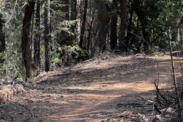
Latrobe Road

Total Miles 5
Technical Rating
2 Easy
Best Time Spring
Trail Type Full-Width Road
Accessible By
Open Trail Map

Trail Overview

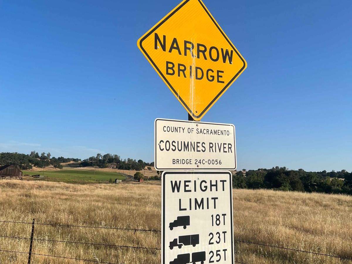
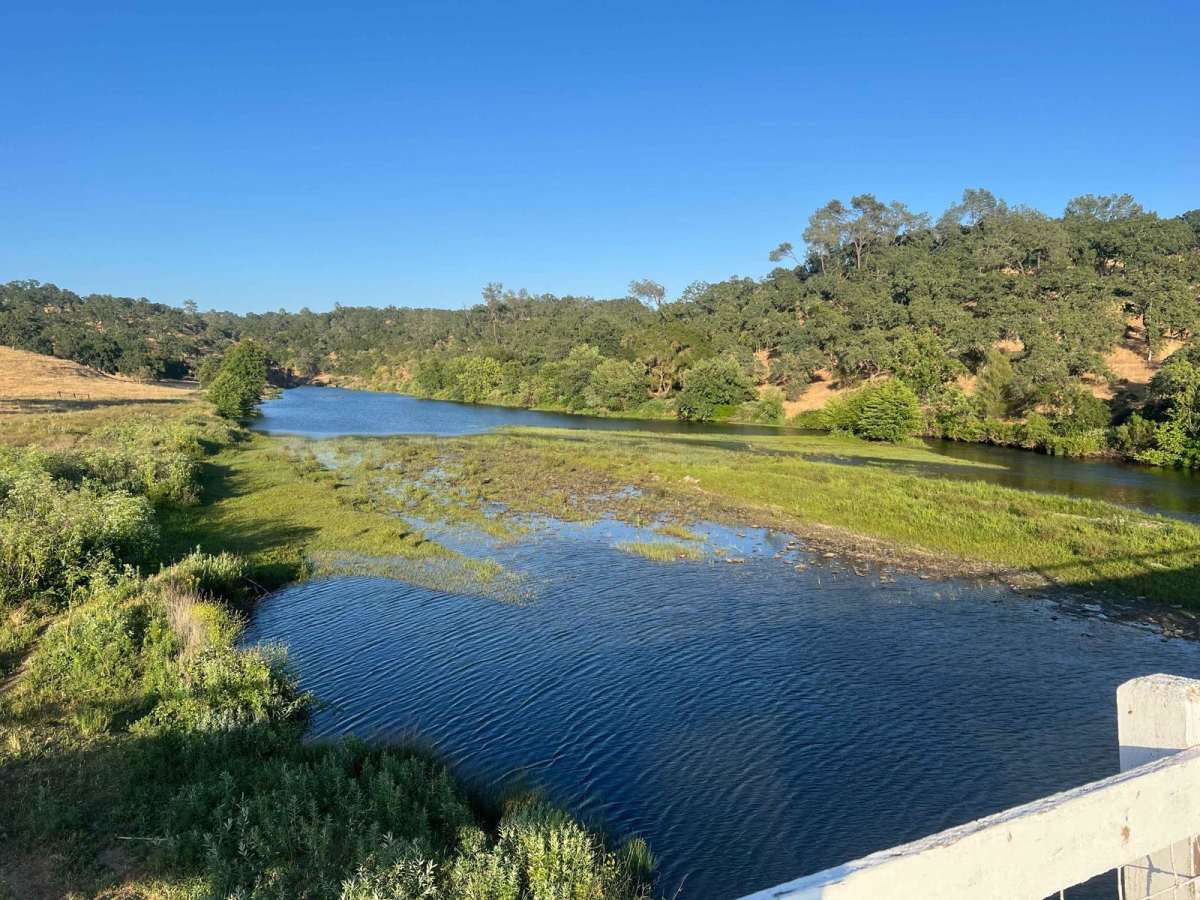
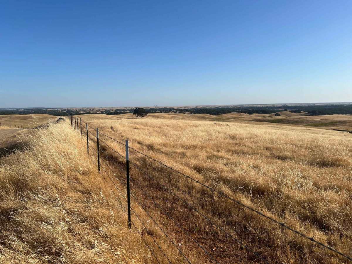
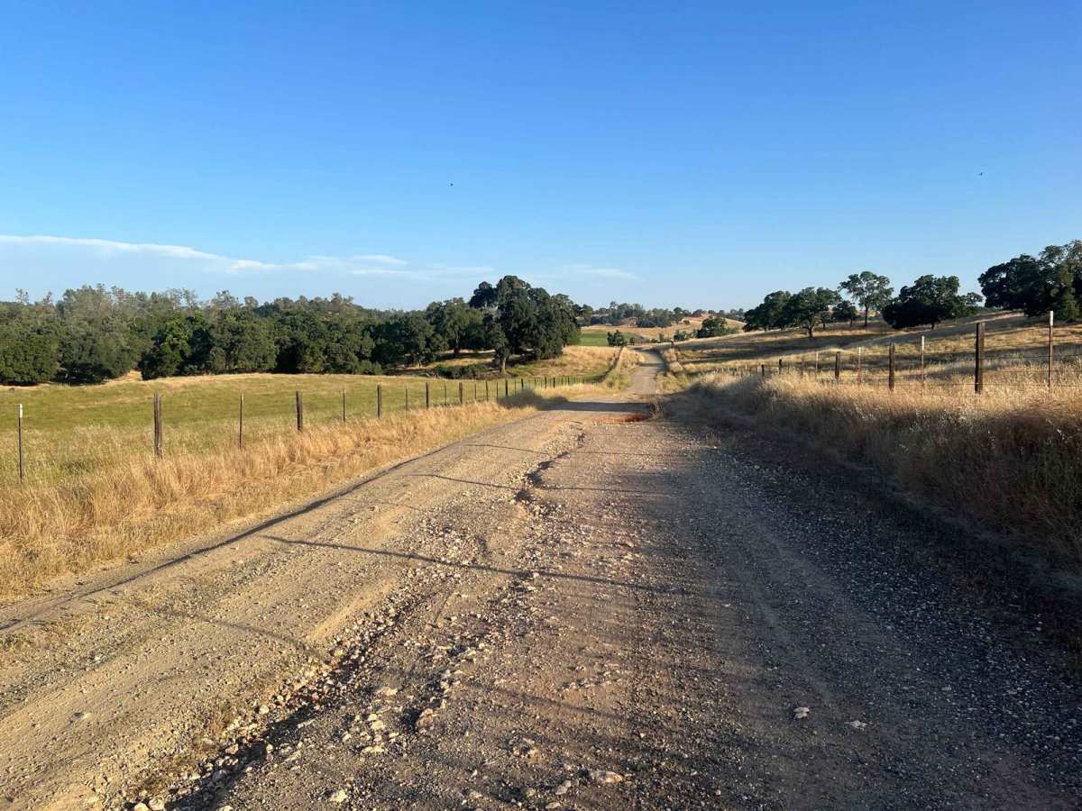
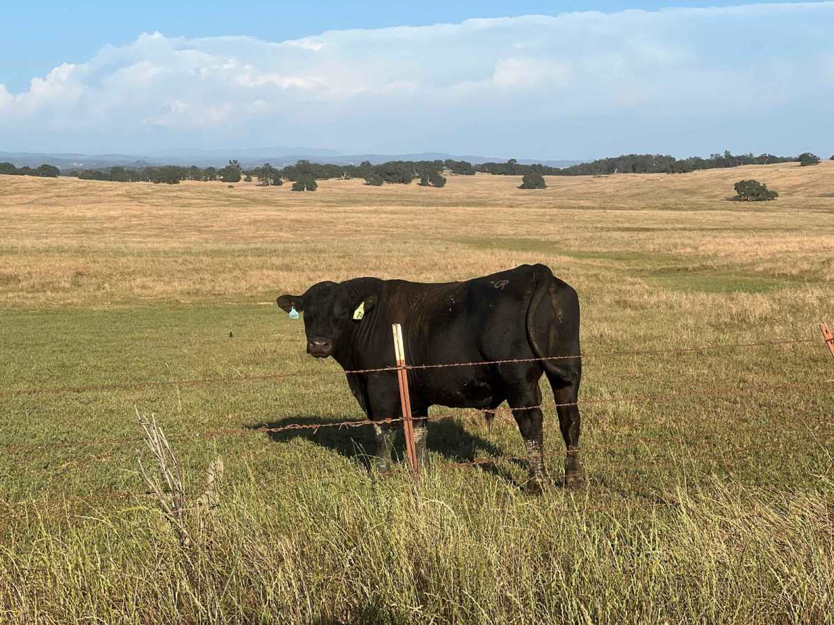
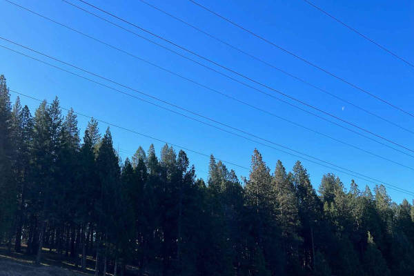
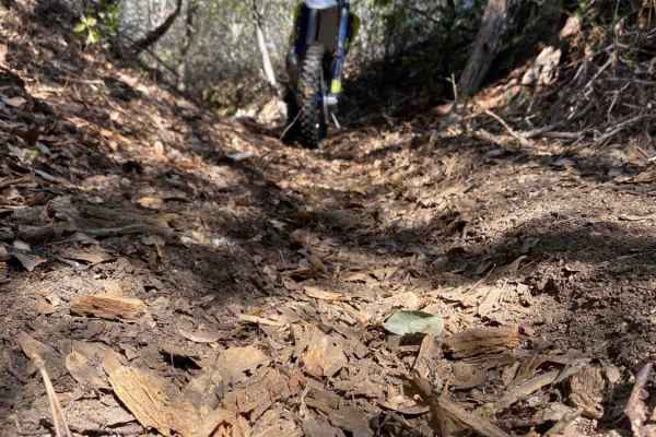
Latrobe Road is a scenic dirt road that passes through the rolling foothills outside the Sacramento Valley and provides ample views of the surrounding area. The trail passes through agricultural land, cattle grazing areas, and the 4000 acre Deer Creek Preserve, which is owned/managed by the Sacramento Valley Conservancy. Approximately halfway through the trail, there is a turnoff for Michigan Bar Road, which is also a dirt road and descends through idyllic farm country down to the Cosumnes River. There is no public access to the river at this junction, but there is a beautiful old bridge and some surrounding farm buildings, and the river view is gorgeous. The author saw a couple of hundred barn swallows flying around the bridge at sunset, in addition to numerous other types of wildlife. Neither road is difficult to traverse, but in the winter and spring, there is substantial runoff and numerous water crossings along Latrobe. Both trails, especially Latrobe, have obstacles off to the sides of the road that can be challenging and enjoyable. Frankly, there are a couple of obstacles that consist of boulders and off-camber sections that could cause a rollover if careful lines are not chosen.

Photos of Latrobe Road

Difficulty

This trail runs from quite easy (after spring runoff) to moderately difficult if the side trail obstacles are tackled.

Technical Rating

2

Status Reports

Add Status Report
Jonathan Torres
Dec 28, 2025
Open
Beginners first time on the trail with a stock jeep gladiator 👍
Jordan Allison
Dec 27, 2025
Open
Finished during sunset trail was easy with a small creek crossing it had recently rained for a week straight, but easy to cross. Water was not moving quickly. Beautiful views, some deep ruts from the rain. Some fun side obstacles to do. Will definitely do again.
Moni L
Dec 27, 2025
Open
Absolutely beautiful. Trail is draining well but the creek is full and over the trail. Possibly passable but I didn’t try today.
Corey S
Dec 21, 2025
Open
Always a fun local trail to test out recent mods. Creeks were not flowing but that will change with the current weather. If the creeks are high and flowing turning around is recommended.
Tokoyami Shadow
Nov 02, 2025
Open
Bob Blaylock
Jul 15, 2025
Open
  My wife and I first discovered this trail back in 2022, when we rented a Jeep Compass for about a month.  The nearest worthwhile place to Sacramento to take a Jeep.  We got our own Jeep two years later, a Cherokee Trailhawk, which sank about five months later, and was replaced with another Cherokee Trailhawk.  We've been over this trail many times.  It's an excellent place for a newbie offroader.   About halfway through this trail, Michigan Nar Road goes off to the south, providing yet more Jeepworthy experience.

Latrobe Road Trail can be accessed by the following ride types:

  • Single Track
  • High Clearance
  • Full Width

Latrobe Road Map

The onX Offroad Difference

onX Offroad combines trail photos, descriptions, difficulty ratings, width restrictions, seasonality, and more in a user-friendly interface. Available on all devices, with offline access and full compatibility with CarPlay and Android Auto. Discover what you're missing today!

Open Trail Map