Ditch Digger

Total Miles 3.2
Technical Rating
4 Moderate
Best Time Spring, Fall
Trail Type Single Track
Accessible By
Open Trail Map

Trail Overview

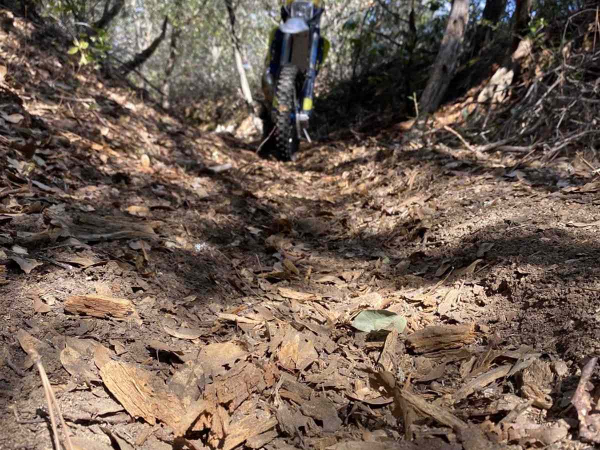
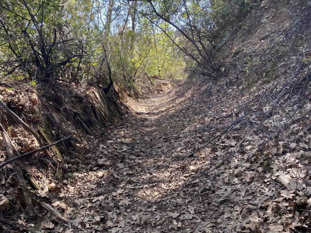
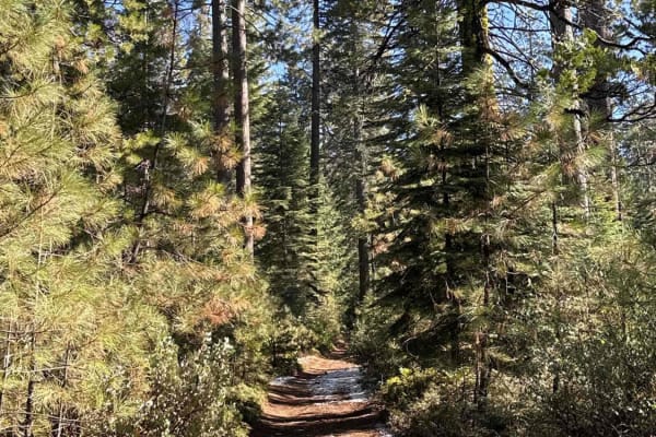
This is an area of BLM land on the North Fork of the Mokelumne River off Highway 26, just outside of Red Corral, California. Parts of the trail are un-maintained dirt roads, sections of which are rocky and washed out. The other part of the trail is in the abandoned flume or up on the levee alongside the ditch. Down in the ditch, the surface is soft, loose, loamy soil. Up on the levee, it is more hard-packed dirt. Riders can expect log and rock obstacles and some long, steep climbs. Making a loop and running it several times is guaranteed to give a great workout on some moderately technical riding. Run the loop multiple times with the stopwatch to see if you can improve your time. While there are some roads, most are very overgrown with brush, essentially making the area only accessible to motorcycles. Portions are solely single-track. One lap around the loop is approximately 4 miles.

Photos of Ditch Digger

Difficulty

Wash outs, ruts, rocky sections, and long steep sections add to the difficulty. This area can be ridden year-round, but wet times of year expect the difficulty to increase significantly.

History

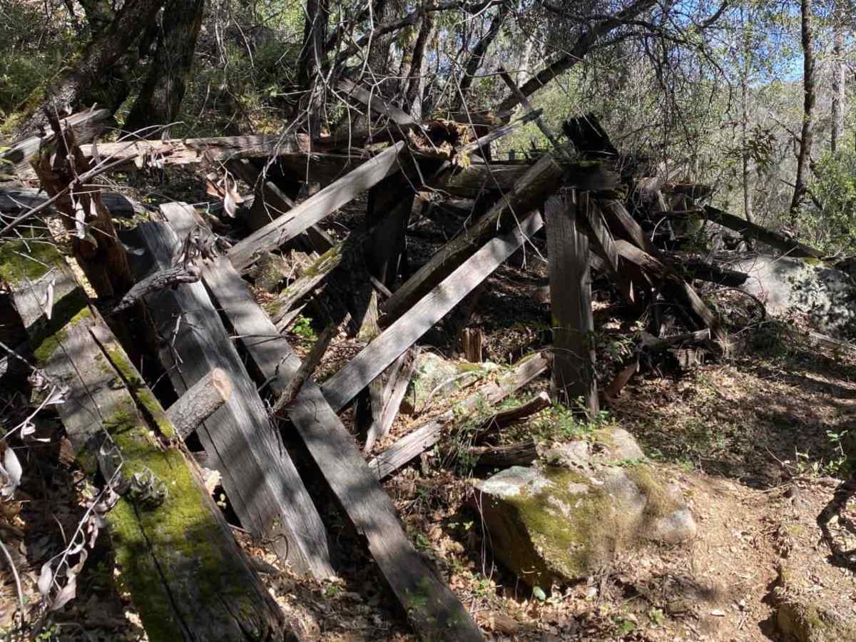
The Upper and Lower Standard ditches were used to supply water to mining operations during the Gold Rush. The ride will take you past remnants of a portion of wooden flume that was used to get water across areas where the ditch could not be practically constructed. There is at least one old mining cabin in the area that is a short ride off the main loop.

Technical Rating

4

Status Reports

Add Status Report
Steve
Apr 05, 2026
Open
The loop shown in this app is not clearly marked and is definitely part of a much larger trail system not shown on this app. Even as I used this ap to ensure I stayed on this loop, I encountered a significant section of the trail that was completely obstructed by very large downed trees. I was able to make my way around them, but it took a good bit of time and effort to find a line around the obstruction and get back on this path. This isn't a bad place to ride if you ride with some skilled friends and are willing to explore. I was by myself and wanted to stay on this path. The obstruction made that difficult.
Brian Rank
Mar 19, 2025
Open
I only made it a 1/4 mile before turning around. This looks like a good trail, but with the wet clay surface, I was sliding off the trail. As I stared down the first incline, which was off camber, I threw in the towel.
Ryan Sbranti
Aug 25, 2024
Open
Zarian Sloan
Feb 11, 2024
Open
Levi Harris
Oct 06, 2023
Open

Ditch Digger Trail can be accessed by the following ride types:

  • Single Track

Ditch Digger Map

The onX Offroad Difference

onX Offroad combines trail photos, descriptions, difficulty ratings, width restrictions, seasonality, and more in a user-friendly interface. Available on all devices, with offline access and full compatibility with CarPlay and Android Auto. Discover what you're missing today!

Open Trail Map