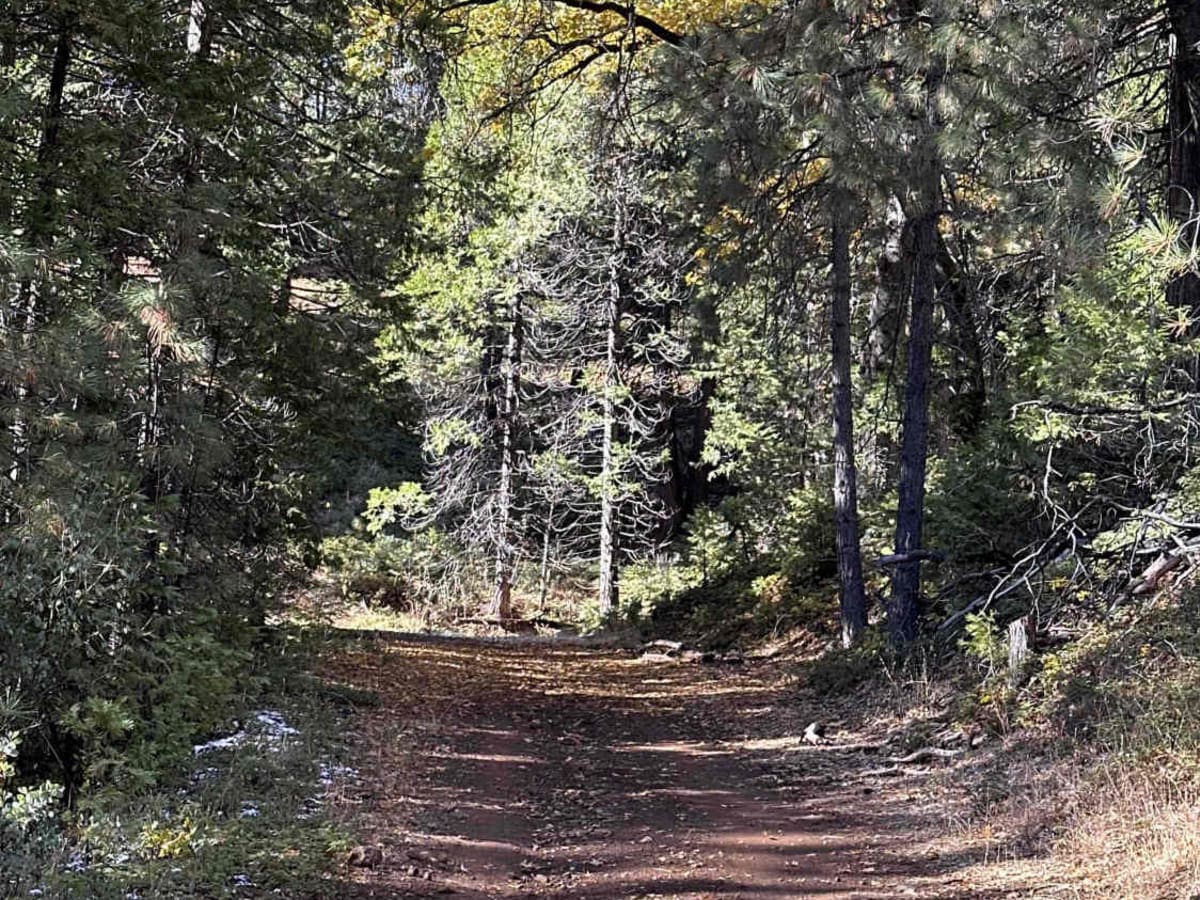
Trail Overview
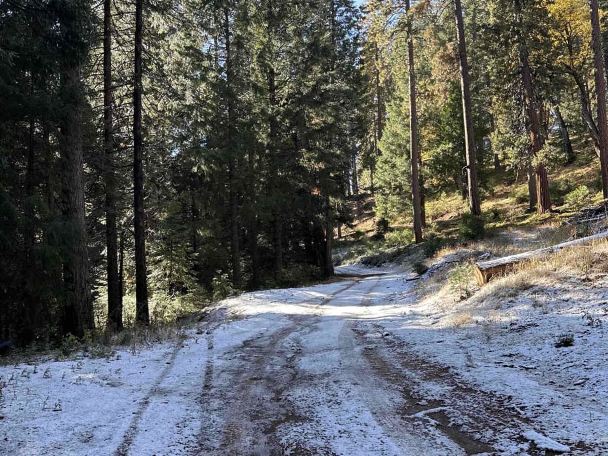
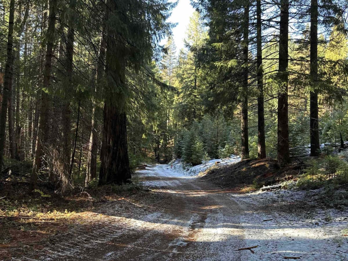
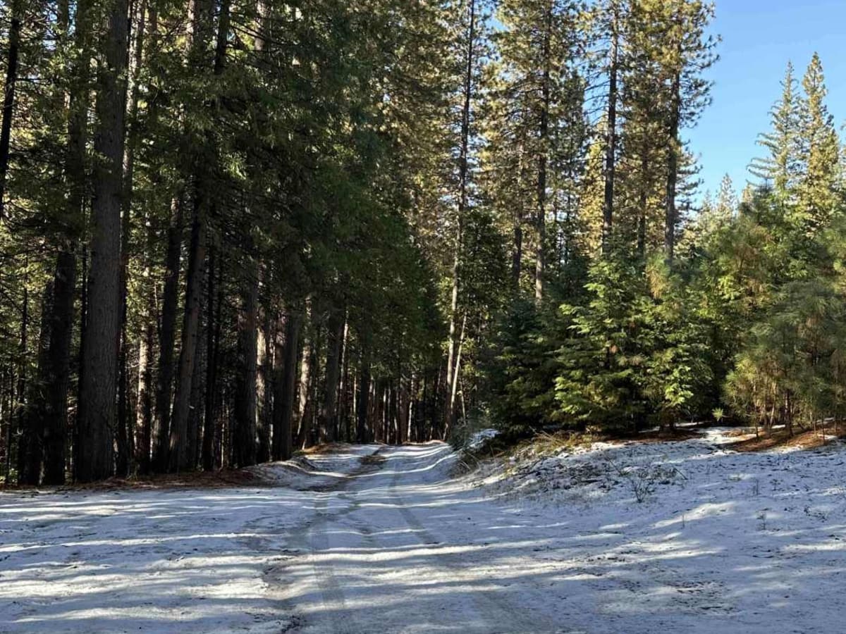
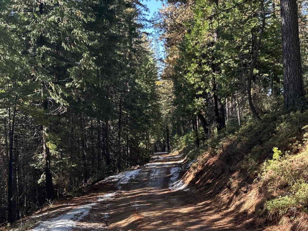
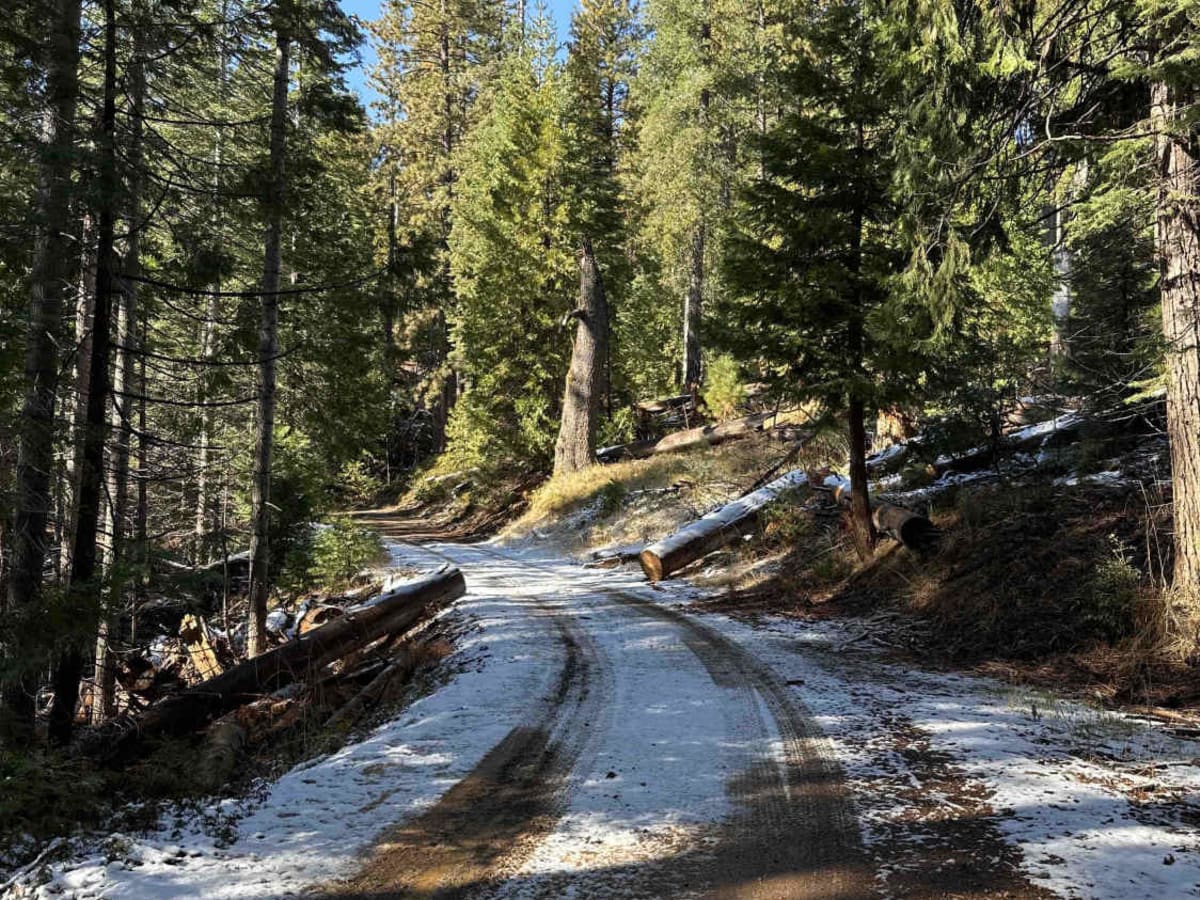
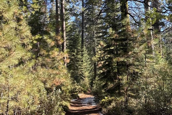
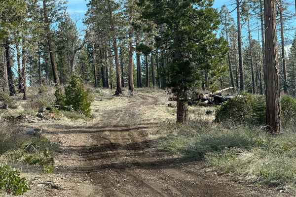
Five Corners (FS 8N54) is an easy trail that connects multiple trail systems in the area. Located at an elevation of approximately 4,100 feet, it offers several dispersed camping spots along its route, making it a convenient option for outdoor enthusiasts. During summer, riders should anticipate dusty conditions, while snowpack and muddy terrain in colder months can add to the trail's difficulty.
Difficulty
Snowpack and muddy terrain can increase the trail's difficulty, while downed trees are a common challenge in the area, potentially obstructing the path.
History
California Gold Rush: In the mid-19th century, the discovery of gold in California led to a massive influx of prospectors and settlers seeking fortune. The Eldorado National Forest region, where the Gold Note Trail System is situated, was a focal point during this period, with numerous mining operations established throughout the area. Mining Legacy: The trails within the Gold Note system traverse areas that were once bustling with mining activity. Riders may encounter remnants of old mining sites, equipment, and structures, serving as tangible links to the past. These historical artifacts offer a glimpse into the challenges and endeavors of those who participated in the gold rush.