
Beginner Off-Road Trails
Near Mount Sidney, Virginia
Explore All Beginner Trails Near Mount Sidney, Virginia
Beginner Off-Road Trails Near Mount Sidney, Virginia
Discover the best beginner-friendly off-road trails near you. These easier, lower-rated trails are a great place to start — browse trail maps, check difficulty ratings, and find your next adventure.

Tillman
Tillman is an easy, scenic 5.5-mile forest road in George Washington National Forest, perfect for beginners, passenger vehicles, and those seeking quick access to prime Appalachian outdoor recreation. This well-maintained gravel route, also known as Forest Road 101, winds through a lush mountain lan...
Learn more about Tillman
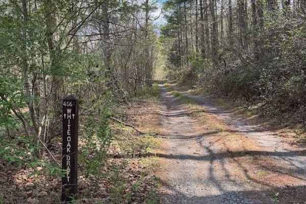
White Oak Draft
White Oak Draft, also known as State Route 466, is a short gravel road that’s generally well maintained. The surface includes several large potholes, though they’re typically less than 6 inches deep. A shallow creek crossing sits roughly halfway along the trail. Vegetation overgrowth is minimal, and...
Learn more about White Oak Draft
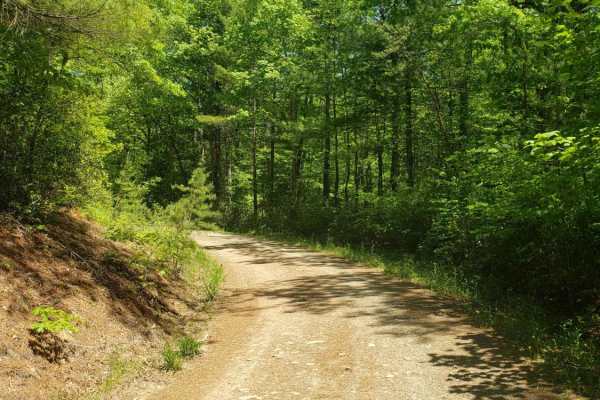
Leading Ridge
Leading ridge track is a seasonal two way track from North River to Todd Lake Recreation Area. The track is natural dirt surface with minimal gravel maintenance in areas. Several hiking trails cross the area. Several dispersed camping opportunities along the track. A large elevated clearing near the...
Learn more about Leading Ridge

Hone Quarry
Hone Quarry recreation area is a dead end trail passing by a reservoir. The trail starts paved from the state highway passing by day use picnic areas and a pay campground with amenities. The trail continues to the reservoir with fishing and kayaking opportunities. After passing the reservoir the tra...
Learn more about Hone Quarry
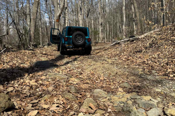
Browns Gap Turnpike
Browns Gap Turnpike, also known as Route 629, is a dead‑end route that terminates at Shenandoah National Park. The route begins as a maintained gravel driveway for roughly the first 10 percent of the trail, with difficulty increasing to about 2/10 due to washouts and channels approximately 6 inches ...
Learn more about Browns Gap Turnpike
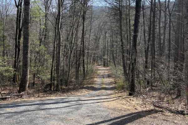
Briery Branch Trail - FS 924
This out-and-back trail is a turn off of Briery Branch Road (paved) and is a rocky and often muddy drive along Briery Branch Creek. The majority of the trail is in a flood plain, so it is prone to possible high water, flood damage, and muddy conditions. There is a creek crossing which will be 5 to 8...
Learn more about Briery Branch Trail - FS 924
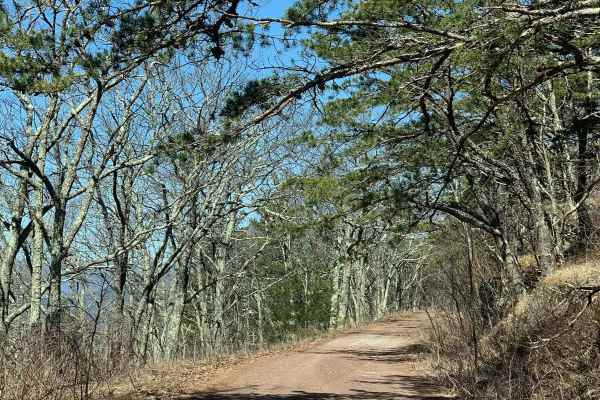
Reddish Knob
This 20-plus miles of George Washington National Forest back roads stretches from Braley Pond to Briery Branch Gap. With the exception of the northern 2.5 miles of the route which is paved, the rest is of the trail is backcountry forest roads. The trail is easy. It is primarily gravel and dirt with ...
Learn more about Reddish Knob
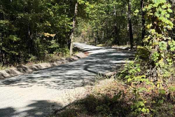
Tuckaho
Tuckaho Road is a short, 0.9-mile gravel road managed by the U.S. Forest Service within George Washington National Forest. The surface is smooth and well-maintained, suitable for full-width 4×4 vehicles, high-clearance rigs, SxS, ATVs, dirt bikes, and even non-4x4 vehicles. There are no major obstac...
Learn more about Tuckaho
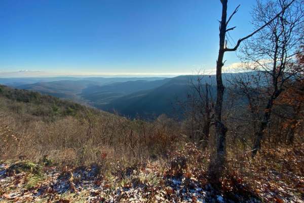
FSR 72 Long Run Road
This Forest Service road has beautiful views of the Appalachian Mountains and 4WD is not required to see them. You will see several campsites right off the road, but there's one with a spectacular view of the mountains at 38.58666, -79.05788. This campsite is large enough for several rigs to set up ...
Learn more about FSR 72 Long Run Road
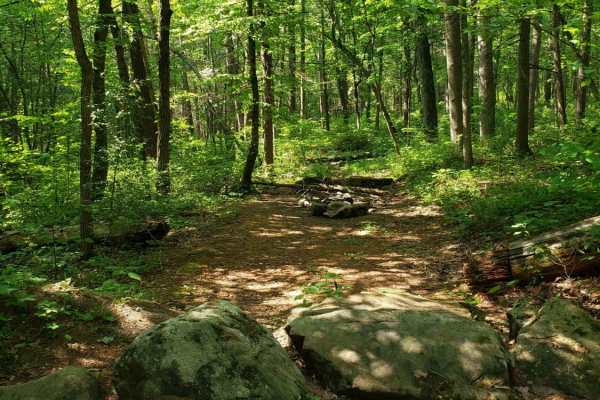
Cub Run
Maintained gravel forest service road. This route includes numerous hiking trailheads. The southern portion of the route has very spotty cell service, which improves in the northern portion. The northern portion includes many dispersed camping areas located along a small creek. The route is well-tra...
Learn more about Cub Run
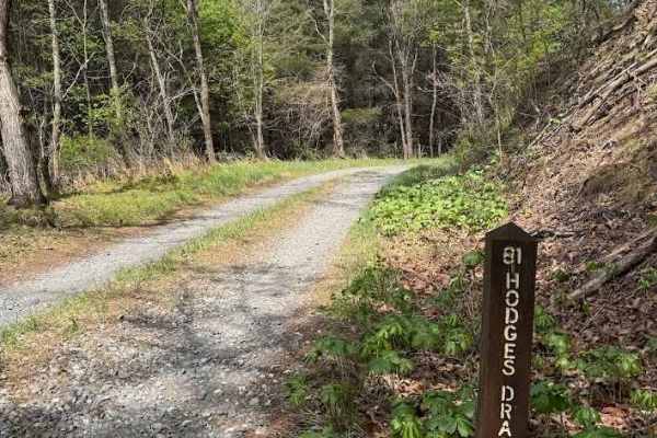
Hodges Draft
Hodges Draft, also known as State Route 81, is a well‑maintained gravel road with no significant obstacles. The trail is generally uneventful, and the scenery is limited to the surrounding forest. The first portion of the route passes through private property with a right‑of‑access corridor leading ...
Learn more about Hodges Draft
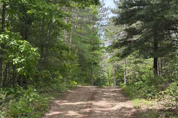
Reddish Spur
This is an out-and-back trail starting from Reddish knob road, leading to the Shenandoah Wildlife Management Area. There are small mud holes, a few deep ruts, and washouts as well along this trail. A few dispersed campsites are along this route, with one very secluded one at the very end of the trai...
Learn more about Reddish Spur
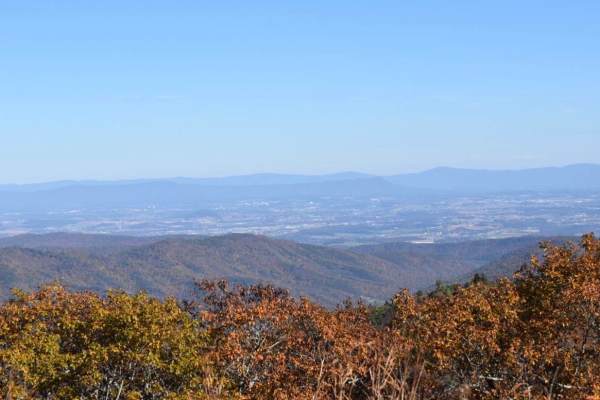
Bother Flagpole Knob Trail
Great views along the ridge off to the west. Rating 2 out of 10 is easily manageable with a high clearance 4x4 (examples: Colorado ATX, Trailboss, Rubicon). Some rough terrain, but nothing you can’t manage with a lifted 4x4 jeep or truck. This is a narrow trail that would require coordination to pas...
Learn more about Bother Flagpole Knob Trail
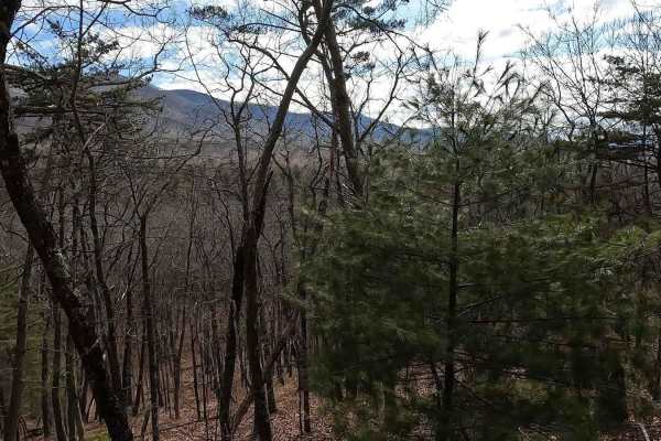
Stoney Run
Stoney Run (WV61) is a dirt and gravel road that more or less runs parallel to the trail to Reddish Knob. The trail is sufficiently wide enough for two vehicles to pass each other, and can easily be run in 2WD. The trail begins at county route 32 and descends into a valley before eventually ascendin...
Learn more about Stoney Run
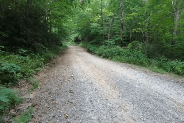
Shaws Fork
Shaws Fork is an in-and-out trail located in the George Washington National Forest near the popular Flagpole Knob Trail. The trail primarily consists of a gravel road with many switchbacks. The trail begins at County Road 32, near FR 95/Reddish Knob Trail. The trail proceeds southwesterly, along FR ...
Learn more about Shaws Fork
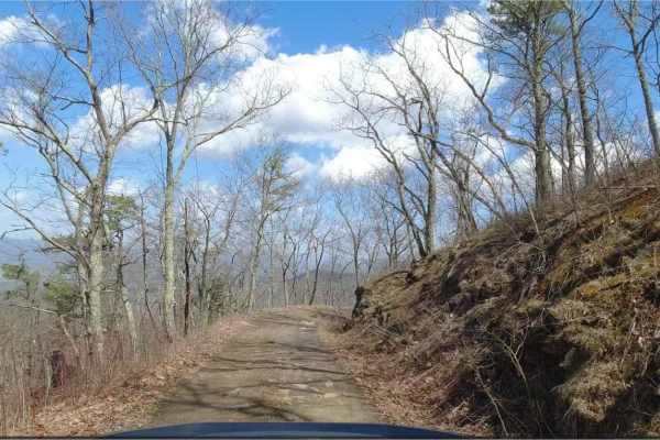
Hite Hollow
Hite Hollow is located in the George Washington National Forest, west of Staunton, VA. It's a basic trail that offers outstanding views of the surrounding area. The trail is mainly rock and dirt and has several switchbacks that take you up the ridge line. Many of these switchbacks offer stunning vie...
Learn more about Hite Hollow
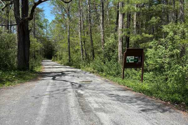
Hite Hollow
Hite Hollow is a well-maintained 9.5-mile gravel road located in the George Washington National Forest, west of Staunton, VA. It offers great views and alternates between rocky and smooth gravel as it climbs and switchbacks through the forest. There are dispersed camping options, but little to no ...
Learn more about Hite Hollow
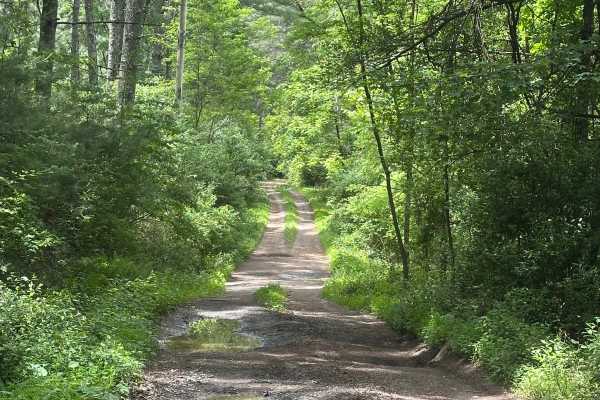
Waggy Run
This is a short but fun offshoot of Stoney Run in the George Washington National Forest. There are multiple deep mud holes, washouts, and a shallow creek crossing as well. 4WD and high clearance are definitely recommended for this trail. There is no cell service on this trail, nor in the surrounding...
Learn more about Waggy Run
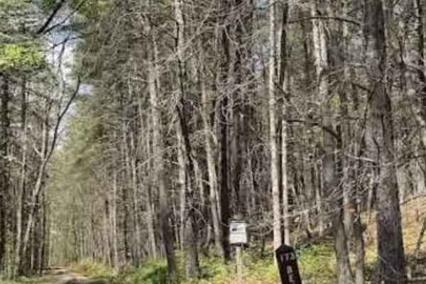
Bensons Run
Bensons Run, also known as State Route 173, begins immediately with a low‑water crossing after turning off Route 629. A gravel road continues through private property used as a cattle farm. After a second low‑water crossing, the trail reaches a gate marked with a reminder to close it behind you. Acc...
Learn more about Bensons Run
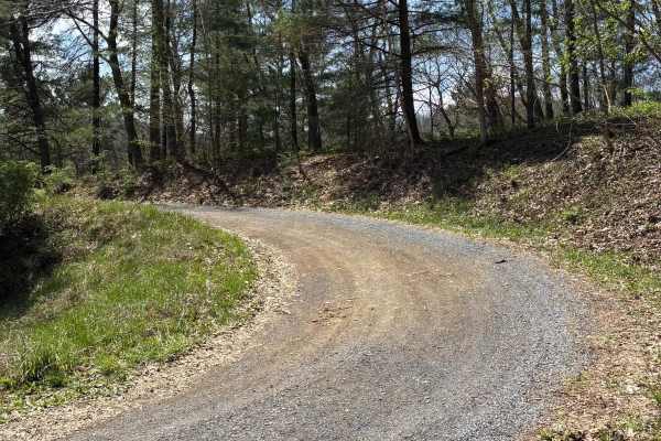
Shinault Shanty
Shinault Shanty is a 3.5-mile out-and-back trail with seasonal closures. The trail is in Virginia's George Washington National Forest off Route 250. It is a dirt and rock trail with a few deep ruts that can be split or bypassed. The trail climbs through the woods with scenic views on both sides o...
Learn more about Shinault Shanty
Beginner ATV trails near Mount Sidney, Virginia
Explore ATV-friendly trails near you. These trails are accessible for vehicles up to 50 inches wide, perfect for ATVs and smaller off-road machines.
Tuckaho
Tuckaho Road is a short, 0.9-mile gravel road managed by the U.S. Forest Service within George Washington National Forest. The surface is smooth and well-maintained, suitable for full-width 4×4 vehicles, high-clearance rigs, SxS, ATVs, dirt bikes, and even non-4x4 vehicles. There are no major obstac...
Learn more about Tuckaho
Bother Flagpole Knob Trail
Great views along the ridge off to the west. Rating 2 out of 10 is easily manageable with a high clearance 4x4 (examples: Colorado ATX, Trailboss, Rubicon). Some rough terrain, but nothing you can’t manage with a lifted 4x4 jeep or truck. This is a narrow trail that would require coordination to pas...
Learn more about Bother Flagpole Knob Trail
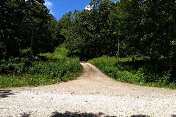
FR1176
FR1176, also known as Rocky Mountain Road, is an ideal route for offroaders seeking a short but scenic mountain climb that leads to impressive high-elevation vistas in the George Washington and Jefferson National Forests. Beginning at Salt Log Gap at an elevation of 3,235 feet, this 1.7-mile trail a...
Learn more about FR1176
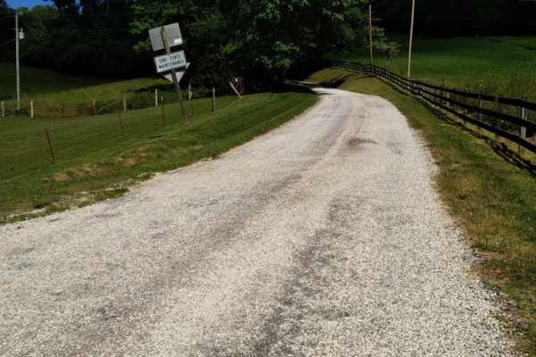
Big Piney
Big Piney is a gravel road passing through a portion of the George Washington National Forest, offering access to hiking, camping and swimming. The trail is rocky and typically unmaintained after rain or snow. You may encounter shallow water crossings and obstacles under 12" on the trail, including ...
Learn more about Big Piney
Beginner UTV/side-by-side trails near Mount Sidney, Virginia
Find UTV and side-by-side trails near you. These trails accommodate vehicles up to 60 inches wide, ideal for UTVs, side-by-sides, and wider off-road rigs.
Tuckaho
Tuckaho Road is a short, 0.9-mile gravel road managed by the U.S. Forest Service within George Washington National Forest. The surface is smooth and well-maintained, suitable for full-width 4×4 vehicles, high-clearance rigs, SxS, ATVs, dirt bikes, and even non-4x4 vehicles. There are no major obstac...
Learn more about Tuckaho
Bother Flagpole Knob Trail
Great views along the ridge off to the west. Rating 2 out of 10 is easily manageable with a high clearance 4x4 (examples: Colorado ATX, Trailboss, Rubicon). Some rough terrain, but nothing you can’t manage with a lifted 4x4 jeep or truck. This is a narrow trail that would require coordination to pas...
Learn more about Bother Flagpole Knob Trail
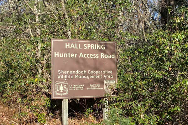
FSR #85-2 Hall Spring Road
This route will take you along the side of the mountain with beautiful views of Appalachia. This trail feels like an East Coast shelf road since it is mainly single track with only a few places to pass oncoming vehicles. This road follows the WV-VA border and is only accessible 10/01-01/15.
Learn more about FSR #85-2 Hall Spring Road
FR1176
FR1176, also known as Rocky Mountain Road, is an ideal route for offroaders seeking a short but scenic mountain climb that leads to impressive high-elevation vistas in the George Washington and Jefferson National Forests. Beginning at Salt Log Gap at an elevation of 3,235 feet, this 1.7-mile trail a...
Learn more about FR1176
The onX Offroad Difference
onX Offroad combines trail photos, descriptions, difficulty ratings, width restrictions, seasonality, and more in a user-friendly interface. Available on all devices, with offline access and full compatibility with CarPlay and Android Auto. Discover what you're missing today!
Open Trail Map