Reddish Knob

Total Miles 19.3
Technical Rating
2 Easy
Best Time Spring, Summer, Fall, Winter
Trail Type Full-Width Road
Accessible By
Open Trail Map

Trail Overview

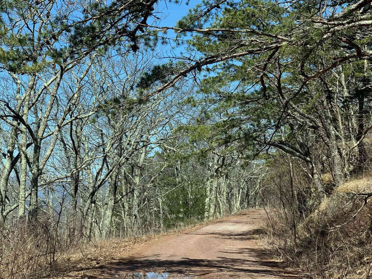
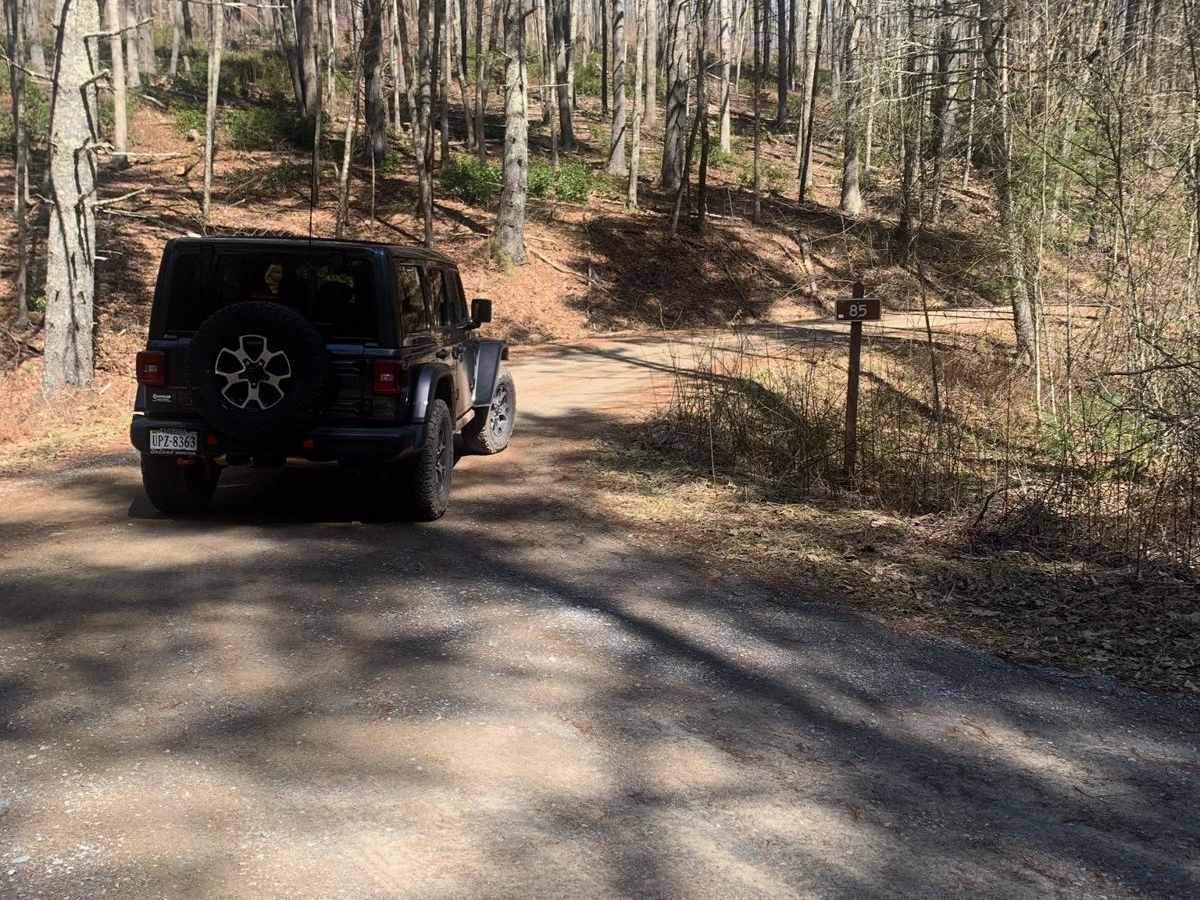
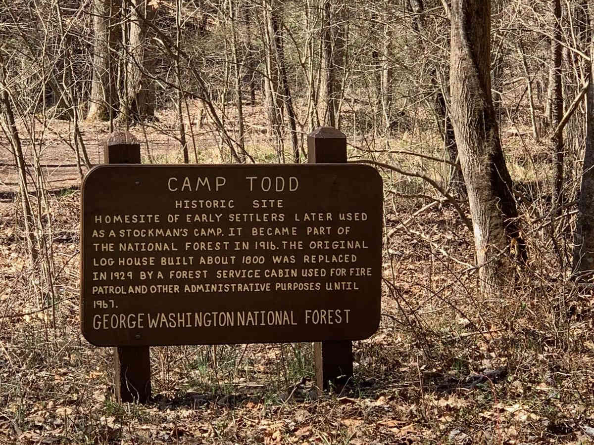
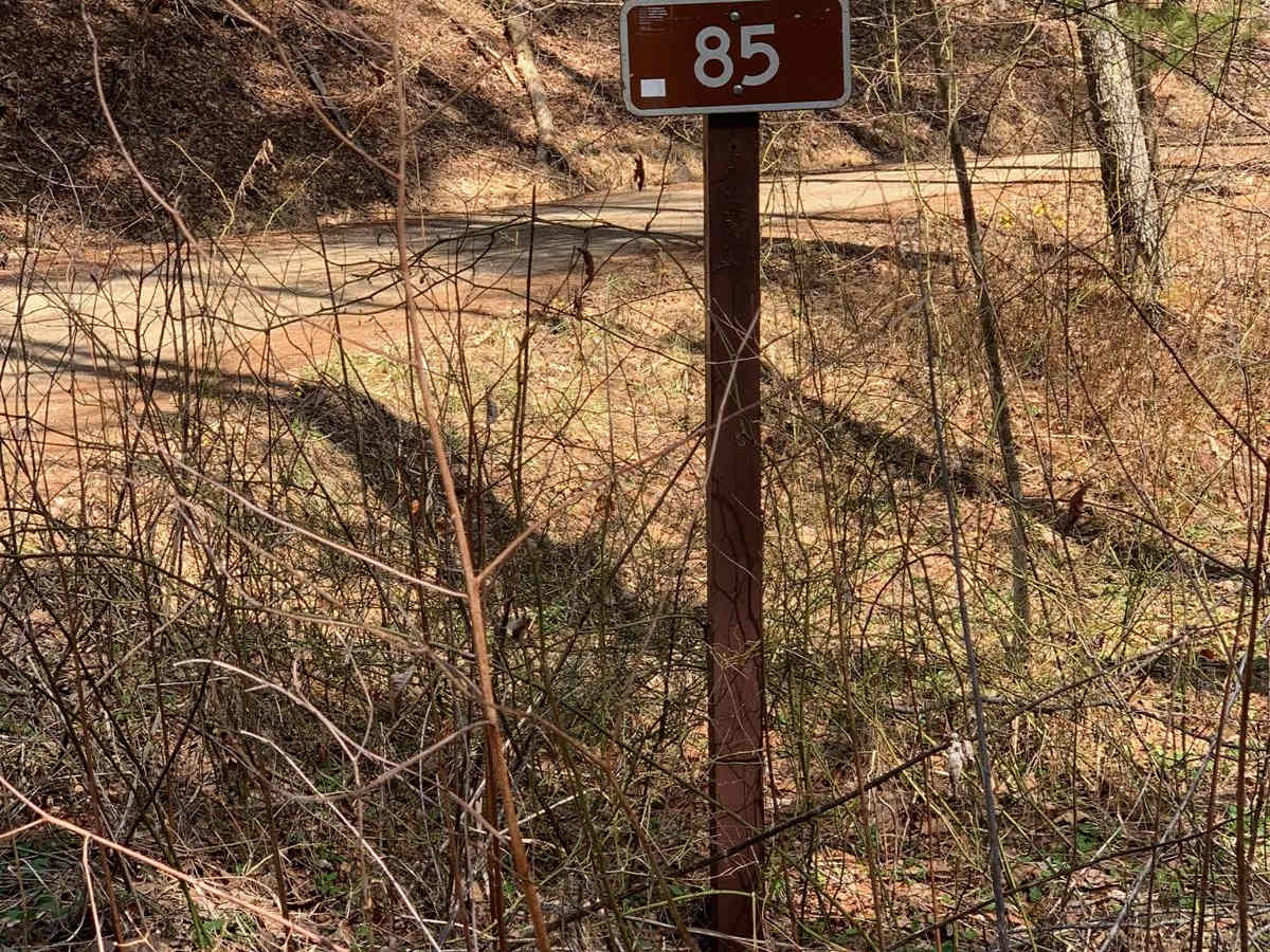
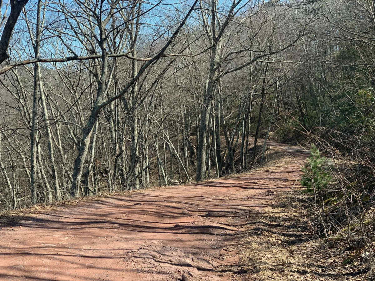
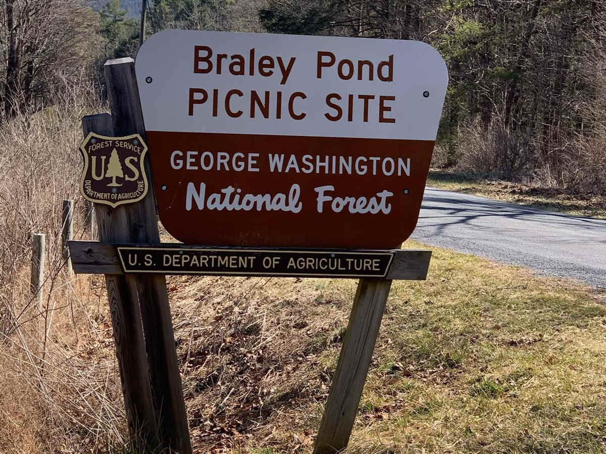
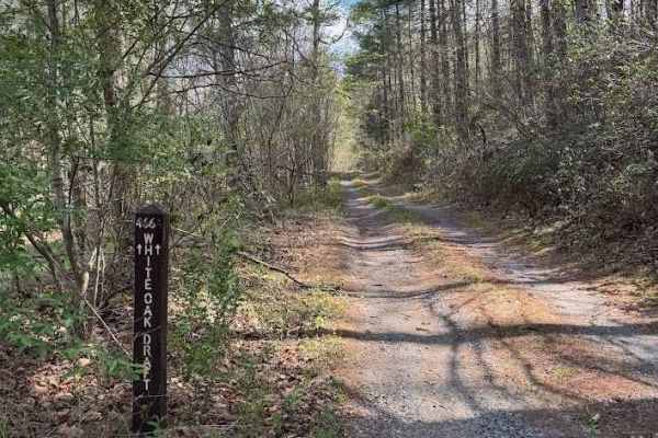
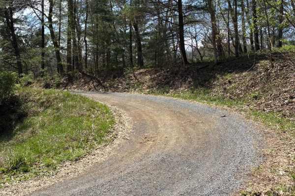
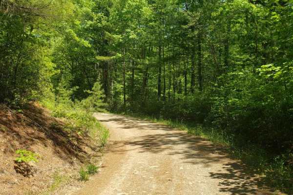
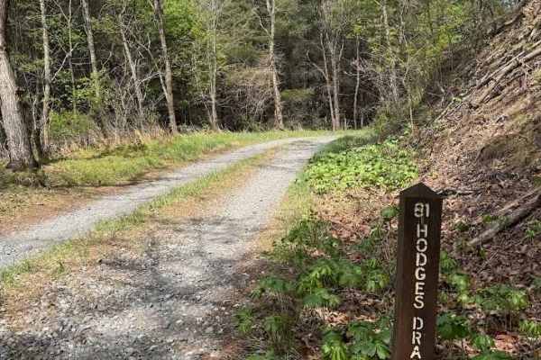
This 20-plus miles of George Washington National Forest back roads stretches from Braley Pond to Briery Branch Gap. With the exception of the northern 2.5 miles of the route which is paved, the rest is of the trail is backcountry forest roads. The trail is easy. It is primarily gravel and dirt with a few non-challenging rutted and rocky parts. Any AWD SUV or 4x4 should have an easy time of it. Although this trail isn't one that is going to challenge rigs and driving ability, it still has much to offer. Entering from the south, take Hwy 250 - roughly 18 miles west of Staunton, VA, turn north onto Braley Pond Road (715). You'll soon reach Braley Pond recreational area, which offers picnicking, hiking trails and pit toilets. Continuing, Braley Pond Rd will become unmaintained forest road where this route begins. Along the way there are numerous streamside campsites, options to explore Elkhorn Lake, North River Dam, Todd Lake plus some great ridge line views. Just before terminating at Briery Gap, about 20 miles west of Harrisonburg, Va., the route will run up to amazing views from Reddish Knob - elevation 4,397 feet, and at one time a fire tower site. Route includes Braley Pond Road, FR 95 and FR 85.vFor more fun and trail time, this ride can be done along with the adjoining Flagpole Knob route (joins at Briery Branch Gap) - the combined 30-plus miles of Virginia backcountry trails makes for a great day. To keep it easy and stock friendly, take the Flagpole to Switzer Lake route - for a more challenging option you can go from Flagpole out Union Springs.

Photos of Reddish Knob

Difficulty

Easy dirt and gravel trail with just a few rutted and rocky spots. Most high clearance 2WD can run without a problem. Difficulty will change if snow and ice are present.

Technical Rating

2

Status Reports

Add Status Report
Darin Jackson
Dec 14, 2025
Open
This is a lovely trail to do in the snow but very difficult parts
Kellen Bogardus
Jul 26, 2025
Open
Relatively easy forest road with an amazing view at the top. 2/10 is too high, I’ve been on rougher 1/10s. Only a couple other people there. Funny thing, when at the top a dually pulling a hay wagon with about 20 people on it rolled up like a community hay ride or something. Not sure if that’s a normal thing but they were all cool
Bryce McGraw
Jul 23, 2025
Open
I ended hopping on from the southern entrance and took the trip all the way and through flagpole but this part was very enjoyable it had a few mud puddles but for the most part it was dry and very easy to maneuver
Peter M
Jun 27, 2025
Open
South of Flag Pole most stock SUVs can handle the trail just fine with off road tires. North of Flagpole requires lifted off road vehicle due to ruts rocks and 30degree camber in a few areas.
Feb 22, 2025
Open
Slushy, some snow. Easy
Brian Mulvaine
Sep 22, 2024
Open
A combination of dirt, gravel, and some paved roads.
Wyatt H
Sep 02, 2024
Open
BigPapaPickle
Aug 18, 2024
Open
Came in from Briery Branch Rd and started from the Observation Tower to head south. The road is mostly gravel until half way down then it turns into dirt and loose rocks which is mostly even and easy to drive on. The entire road is open.
Chris Bostick
Apr 26, 2024
Open
If you start from the lower end of reddish knob the road leading to the fire tower was temp closed for a burn we had around Todd lake and up 33 to make it then we took flagpole down and it was deff more difficult when we left the tower
John P
Apr 23, 2024
Open
Drove this trail south to north. At the time, forest service road 85-5 was closed for improvements. I decided to take Stoney Run, which is parallel to this trail. Paved sections to reach the Reddish K-nob (censored) overlook was open from Briery Branch Rd. Saw a black bear about half way up the trail!
Roscoe Fauver
Apr 06, 2024
Open
Roscoe Fauver
Apr 03, 2024
Open
A little wet, a touch slippery before the overlook. it no issues.
andy thomas
Mar 31, 2024
Open
we started at the intersection of fsr 85c and 32 and headed northeast. the roads were gravel/dirt with potholes throughout. lots of primitive campsites right off the main rd some big enough for multiple rigs. gravel turns to pavement right before the reddish knob overlook. the overlook is probably the best view in the area at 4390' with almost 360 degrees of unobstructed views of the surrounding valleys. fsr 85 is one vehicle wide pavement with armco until the briery branch intersection. be very careful of oncoming traffic.
Austin W
Jun 20, 2023
Open

Reddish Knob Trail can be accessed by the following ride types:

  • High Clearance
  • Full Width

Reddish Knob Map

The onX Offroad Difference

onX Offroad combines trail photos, descriptions, difficulty ratings, width restrictions, seasonality, and more in a user-friendly interface. Available on all devices, with offline access and full compatibility with CarPlay and Android Auto. Discover what you're missing today!

Open Trail Map