
Beginner Off-Road Trails
Near Lake Arrowhead, California
Explore All Beginner Trails Near Lake Arrowhead, California
Beginner Off-Road Trails Near Lake Arrowhead, California
Discover the best beginner-friendly off-road trails near you. These easier, lower-rated trails are a great place to start — browse trail maps, check difficulty ratings, and find your next adventure.
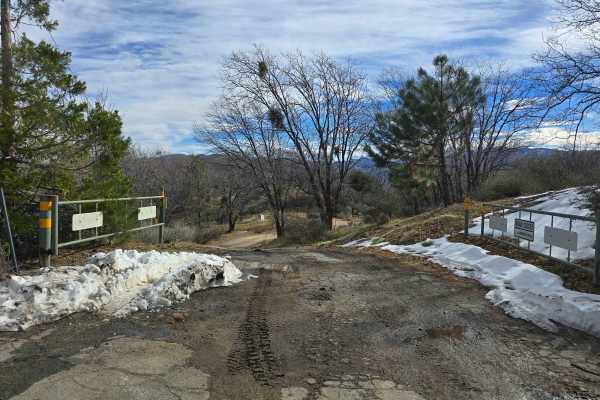
Banff OHV Trail - 2N28Y
Enter the forest on 2N28Y from the residential neighborhood. The road begins as a street-legal-only vehicle dirt road, but will convert to a green-sticker OHV road where it crosses trail 3W13. The roadbed is hard dirt when dry, but it will become slippery with the clay when wet. You will first desce...
Learn more about Banff OHV Trail - 2N28Y
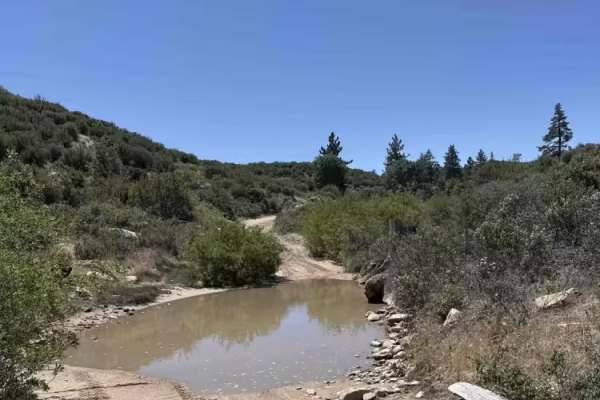
Crab Flats
Crab Flats is a smooth, hardpack dirt road with flowing terrain and minimal technical difficulty. Riders can expect a few shallow water crossings, occasionally reaching shin depth, but otherwise easy travel throughout the route.
Most high-clearance vehicles can navigate this trail, with 2WD typicall...
Learn more about Crab Flats
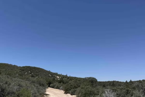
Rouse Ranch
Rouse Ranch is an easy green-rated trail following a mellow dirt road with gentle, winding turns. Riders are treated to expansive views of rolling green hills and relaxed terrain that make this route a good place to slow down and enjoy the scenery.
Expect mostly smooth travel with occasional patches...
Learn more about Rouse Ranch
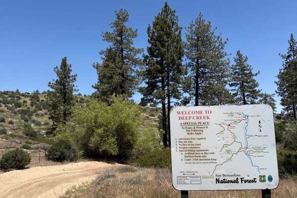
Devils Hole - FS 3N34D
Devils Hole is an easy, flowy hardpack dirt trail with winding turns and opportunities for natural wall rides. Riders can expect a smooth route with a few shallow puddles, occasionally reaching ankle depth, but no major obstacles.
Wildlife is common along the trail, so keep an eye out for snakes and...
Learn more about Devils Hole - FS 3N34D
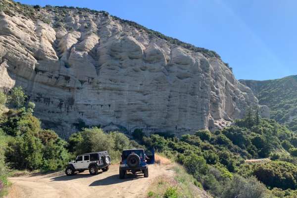
1N09 City Creek Trail
A long overland trail with plenty of recreational activities such as site-specific shooting areas, yellow post campsites and creek crossings. This is a well-maintained dirt road with some minor ruts, rocks and shallow creek crossings. It makes for a great day in the mountains South of Big Bear near ...
Learn more about 1N09 City Creek Trail
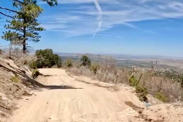
Holcomb Valley Road (West) - FS 3N16
Starting at the edge of the community of Green Valley Lake, this western approach of FS 3N16 offers a lush, alpine experience markedly different from the eastern desert-transition terrain. The trail winds through dense stands of Jeffrey pine, white fir, and oak, providing a shaded and scenic drive t...
Learn more about Holcomb Valley Road (West) - FS 3N16
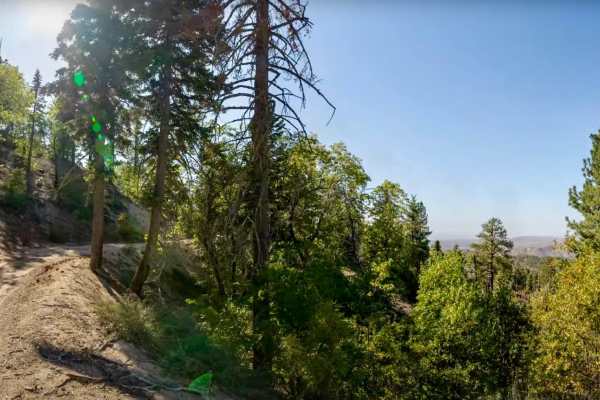
Green Valley Bypass - FS 2N54
Green Valley Bypass (2N54) is a short but scenic forest road that links 3N16 (Holcomb Valley Road) with 2N13 (Snow Slide Road) in the San Bernardino National Forest. At just under 2 miles long, it’s often used as a quick dirt connector, but it’s more than just a shortcut — the trail offers a quiet d...
Learn more about Green Valley Bypass - FS 2N54
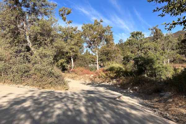
Pilot Rock Connector
This wide dirt road provides easy access to Pilot Rock Ridge and makes for a smooth, straightforward ride. The trail is wide and generally in good shape, but don't let that fool you into getting too comfortable. Two-way traffic is common here; watch out for oncoming traffic.
Learn more about Pilot Rock Connector
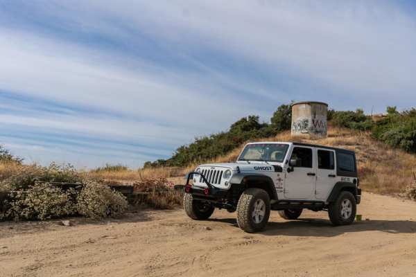
2N40 Cloudland Truck Trail
2N40 Cloudland is a short but beautiful trail with great views of San Bernardino and the mountains beyond. It is doable in 2WD during dry conditions, but 4WD may be required when wet. Closures can occur during winter months for safety reasons. This is a great starter trail with plenty of changing te...
Learn more about 2N40 Cloudland Truck Trail
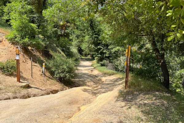
4000 Foot Road
This trail is mainly dirt with shallow creek crossings. After rainfall or snow, rocks and downed trees may be potential obstacles as are deep ruts. This trail can be very easy during dry seasons as it is maintained and evened every so often. During wet or snow seasons, or between maintenance, this t...
Learn more about 4000 Foot Road
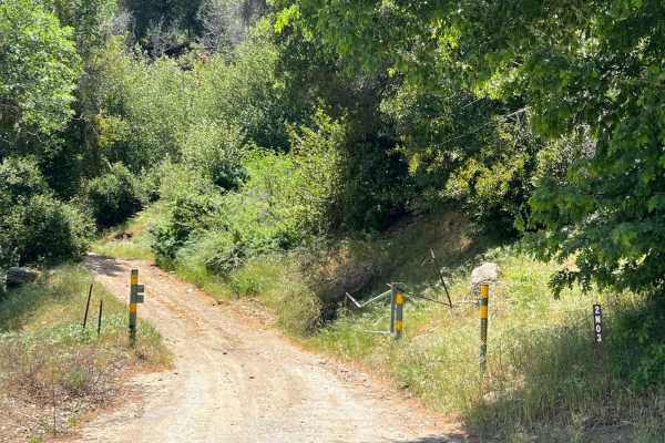
Burnt Mill
Burnt Mill is mainly dirt with potential for rocks and downed trees. This trail is very easy for the most part but expects pinstripes. The first half of the trail is wide and flat. The second half gets tight from the overgrown brush that will scrape both sides of the vehicle with no bypass. There ar...
Learn more about Burnt Mill
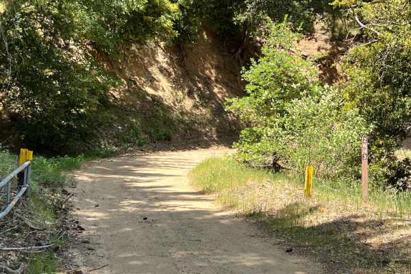
Sawpit Connector
Sawpit Connector is a connecting trail from Burnt Mill to Sawpit Canyon. It is a dirt trail. There is potential for deep ruts throughout the trail. This connector is short but scenic. Views of Silverwood Lake could be seen from the trail and there are very shallow creek crossings on many parts of th...
Learn more about Sawpit Connector
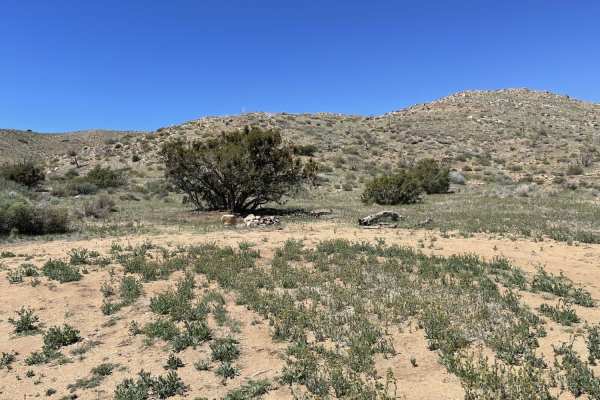
Juniper Flats Southern Access
This generally easy trail leads from the Bowens Ranch gate past the hot springs trailhead parking area and into the vast area of Juniper Flats. This large flat area up in the mountains is full of Juniper trees and Yucca plants. There are a few dispersed campsites scattered throughout the area. The v...
Learn more about Juniper Flats Southern Access
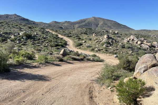
Psycho Ranch Turnout
This trail tears off from the main route of Coxey into the hills. There are a few singletrack turnoffs for those looking for some adventure. There were no natural camping spots noticed on this route. There are, however, two pretty decently long steep hill climbs with some loose rocks to add to the c...
Learn more about Psycho Ranch Turnout
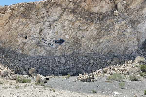
The "Shooting Range" Quarry
The "Shooting Range" Quarry is an easy, scenic 1.7-mile out-and-back trail in Juniper Flats that is ideal for novice offroaders looking for stunning mountain views and a quick backcountry escape. Branching off from Juniper Flats Road, this short route climbs gently through elevations between 4,334 a...
Learn more about The "Shooting Range" Quarry
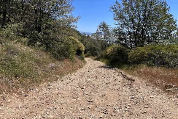
Windcarved Ridge
This is a great, straightforward dirt road that treats you to some amazing tree coverage and a rad forest vibe. It acts as a perfect, scenic shortcut right into the Crestline area, making it the go-to route if you need to quickly jump into town for gas, food, or supplies. The path is wide and clear,...
Learn more about Windcarved Ridge
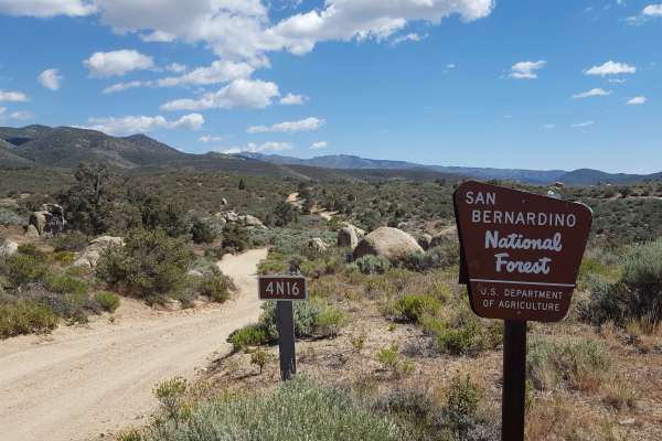
Grapevine Canyon - FS 4N16
This is a point-to-point single-vehicle-width trail that can be combined with nearby trails to form a loop route across a scenic vista area. Occasional turnouts and wider stretches to allow vehicles to pass are present in the southern half of the trail, but the northern half is relatively narrow wit...
Learn more about Grapevine Canyon - FS 4N16
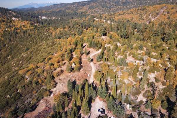
Siberia Creek - FS 2N97
This is a semi-maintained trail. It is primarily a route through chaparral country with dense Manzanita bushes and evidence of the past Line Fire, which required significant brush clearing. The trail has varying surface conditions with some loose gravel. It requires a high-clearance vehicle and poss...
Learn more about Siberia Creek - FS 2N97
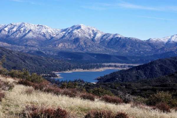
Rainbow Trail - FS 2N59
Rainbow Trail (FS 2N59) begins inside the Silverwood Lake State Park area, where pavement gives way to dirt as you transition from the park roads onto the Forest Service route. The west-to-east run starts out relatively smooth, with a decomposed granite base, light washboarding in spots, and scatter...
Learn more about Rainbow Trail - FS 2N59
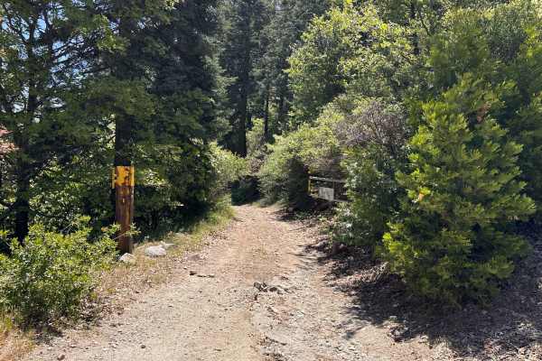
TLD Chainsaw
This is a beautiful, scenic route that offers a great contrast in views, looking out over Silverwood Lake on one side and the vast high desert on the other. The trail has a fun, natural flow and takes you through some nicely wooded areas that provide plenty of cool shade—a welcome break from the sun...
Learn more about TLD Chainsaw
Beginner ATV trails near Lake Arrowhead, California
Explore ATV-friendly trails near you. These trails are accessible for vehicles up to 50 inches wide, perfect for ATVs and smaller off-road machines.
Crab Flats
Crab Flats is a smooth, hardpack dirt road with flowing terrain and minimal technical difficulty. Riders can expect a few shallow water crossings, occasionally reaching shin depth, but otherwise easy travel throughout the route.
Most high-clearance vehicles can navigate this trail, with 2WD typicall...
Learn more about Crab Flats
Rouse Ranch
Rouse Ranch is an easy green-rated trail following a mellow dirt road with gentle, winding turns. Riders are treated to expansive views of rolling green hills and relaxed terrain that make this route a good place to slow down and enjoy the scenery.
Expect mostly smooth travel with occasional patches...
Learn more about Rouse Ranch
Devils Hole - FS 3N34D
Devils Hole is an easy, flowy hardpack dirt trail with winding turns and opportunities for natural wall rides. Riders can expect a smooth route with a few shallow puddles, occasionally reaching ankle depth, but no major obstacles.
Wildlife is common along the trail, so keep an eye out for snakes and...
Learn more about Devils Hole - FS 3N34D
Green Valley Bypass - FS 2N54
Green Valley Bypass (2N54) is a short but scenic forest road that links 3N16 (Holcomb Valley Road) with 2N13 (Snow Slide Road) in the San Bernardino National Forest. At just under 2 miles long, it’s often used as a quick dirt connector, but it’s more than just a shortcut — the trail offers a quiet d...
Learn more about Green Valley Bypass - FS 2N54
Beginner UTV/side-by-side trails near Lake Arrowhead, California
Find UTV and side-by-side trails near you. These trails accommodate vehicles up to 60 inches wide, ideal for UTVs, side-by-sides, and wider off-road rigs.
Crab Flats
Crab Flats is a smooth, hardpack dirt road with flowing terrain and minimal technical difficulty. Riders can expect a few shallow water crossings, occasionally reaching shin depth, but otherwise easy travel throughout the route.
Most high-clearance vehicles can navigate this trail, with 2WD typicall...
Learn more about Crab Flats
Rouse Ranch
Rouse Ranch is an easy green-rated trail following a mellow dirt road with gentle, winding turns. Riders are treated to expansive views of rolling green hills and relaxed terrain that make this route a good place to slow down and enjoy the scenery.
Expect mostly smooth travel with occasional patches...
Learn more about Rouse Ranch
Devils Hole - FS 3N34D
Devils Hole is an easy, flowy hardpack dirt trail with winding turns and opportunities for natural wall rides. Riders can expect a smooth route with a few shallow puddles, occasionally reaching ankle depth, but no major obstacles.
Wildlife is common along the trail, so keep an eye out for snakes and...
Learn more about Devils Hole - FS 3N34D
Green Valley Bypass - FS 2N54
Green Valley Bypass (2N54) is a short but scenic forest road that links 3N16 (Holcomb Valley Road) with 2N13 (Snow Slide Road) in the San Bernardino National Forest. At just under 2 miles long, it’s often used as a quick dirt connector, but it’s more than just a shortcut — the trail offers a quiet d...
Learn more about Green Valley Bypass - FS 2N54
The onX Offroad Difference
onX Offroad combines trail photos, descriptions, difficulty ratings, width restrictions, seasonality, and more in a user-friendly interface. Available on all devices, with offline access and full compatibility with CarPlay and Android Auto. Discover what you're missing today!
Open Trail Map